Timpooneke Road
Total Miles
8.4
Elevation
2,627.28 ft
Duration
3 Hours
Technical Rating
Best Time
Spring, Summer, Fall
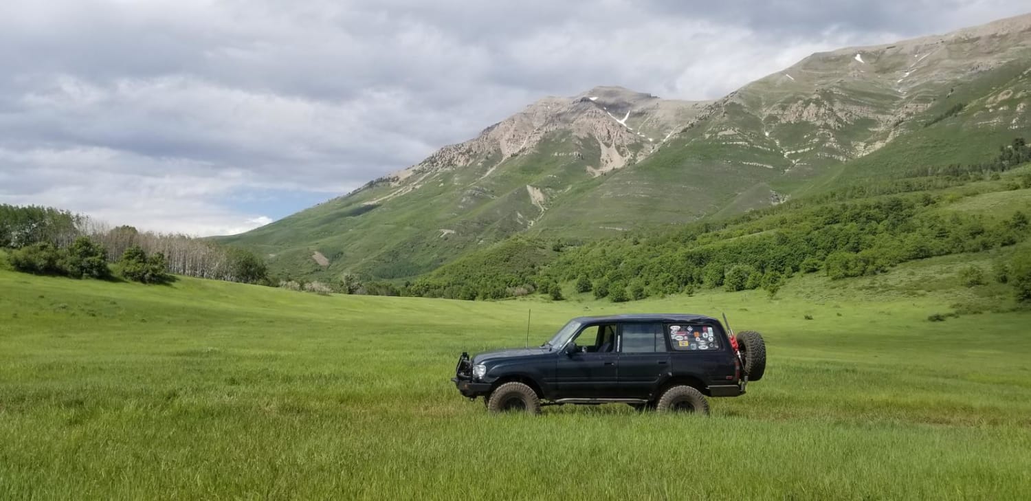
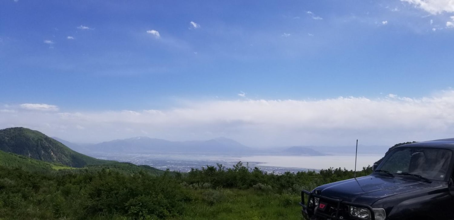
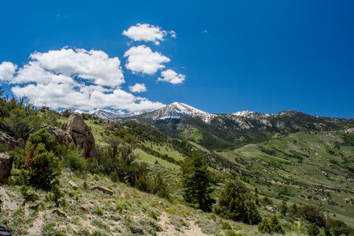
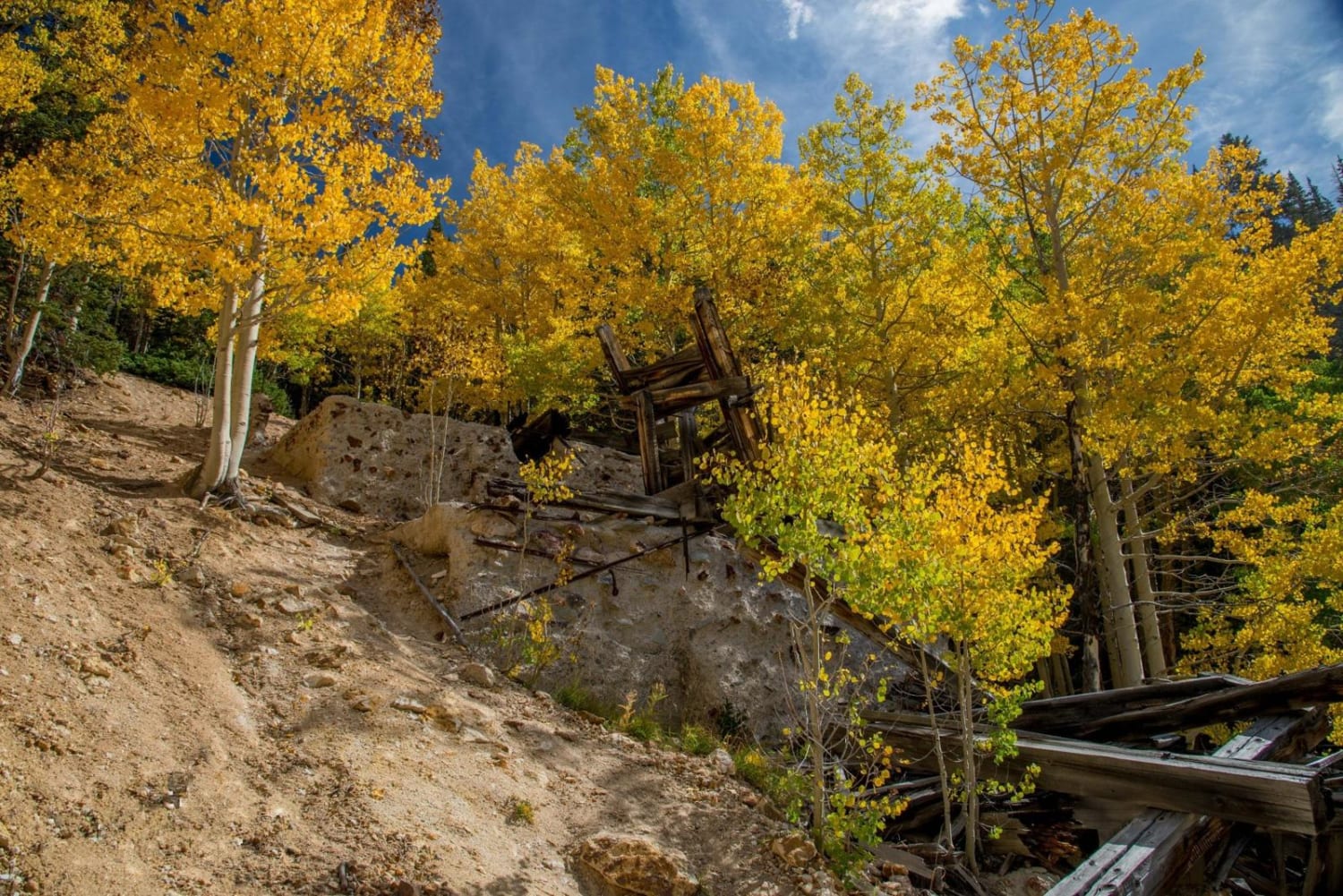
Trail Overview
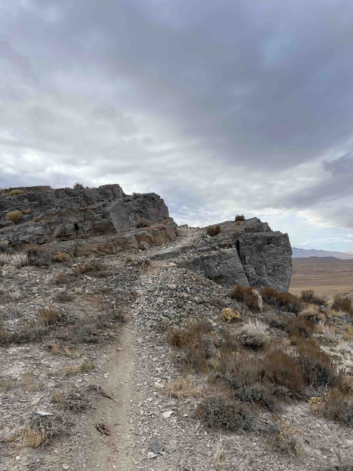
This is a high-altitude Uinta-Wasatch-Cache National Forest road starting at the back of the Timpooneke Campground and wrapping around the face of the Timpanogos Wilderness Area. It is approximately 19 miles round trip and a there-and-back road. The route is rocky, but the rough road pays off with a fantastic view of Orem and Provo at the trail's end. The trail also leads to pristine high-altitude meadows once it leaves the pine forests and wraps around to the west-facing slope of the mountain. The route has several small offshoot trails for dirt bikes, horses, hikers, and mountain bikers. Be aware of the high altitude and plan accordingly for severe weather and possible snow and thunderstorms, even in the shoulder and summer seasons. The route is closed in winter due to snow. Overall, the trail is easy, but lower clearance vehicles might have to navigate some short sections of washouts and small boulders carefully. Stay on the trail to keep the meadows pristine for the next visitors.
Photos of Timpooneke Road
Difficulty
It's a rocky fire road with minimal maintenance outside of summer months due to elevation. There are some small obstacles and remnants of mud holes from wet months.
Status Reports
Popular Trails
Toms Canyon
Paiute ATV Trail Cottonwood Canyon Trail 77
Sidewinder

South Elks Road
The onX Offroad Difference
onX Offroad combines trail photos, descriptions, difficulty ratings, width restrictions, seasonality, and more in a user-friendly interface. Available on all devices, with offline access and full compatibility with CarPlay and Android Auto. Discover what you’re missing today!