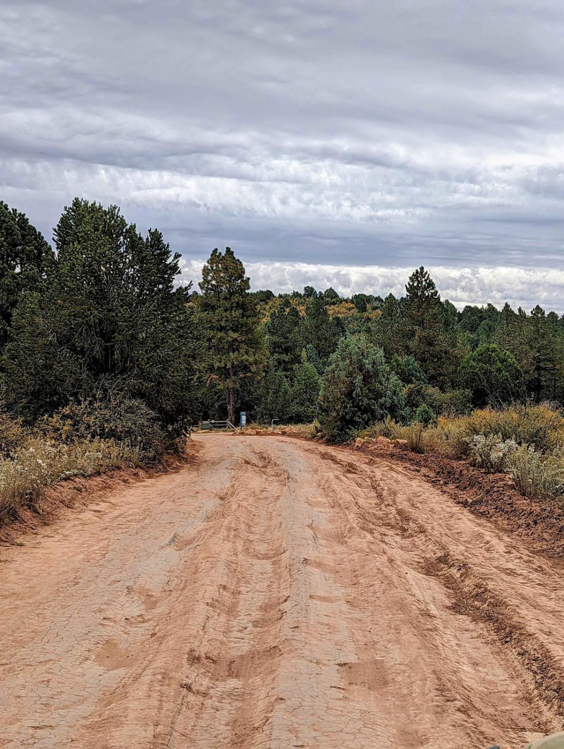
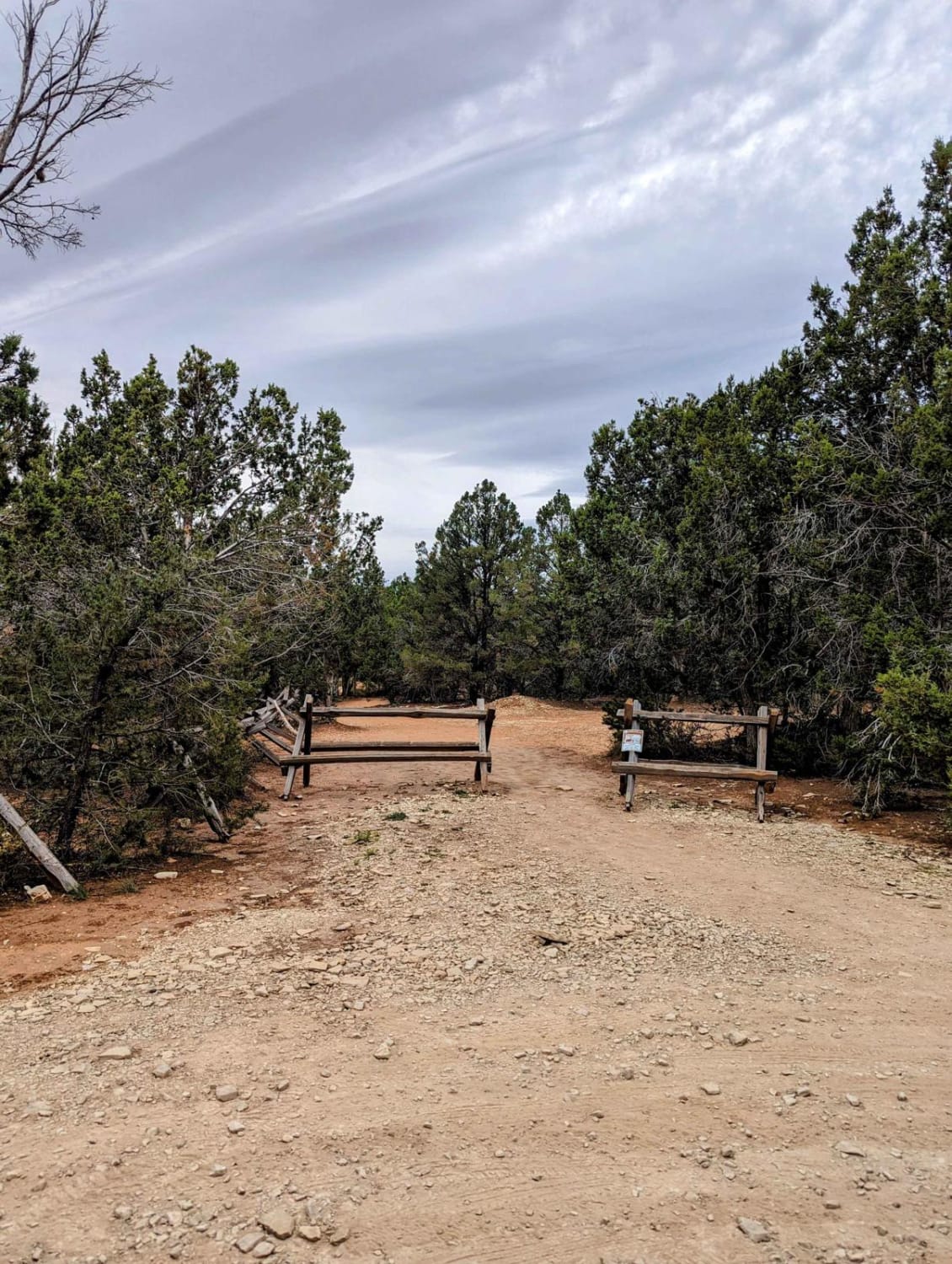
Zion National Park Observation Point Trailhead
Total Miles
2.8
Elevation
2,038.82 ft
Duration
1 Hours
Technical Rating
Best Time
Spring, Summer, Fall
Trail Overview
This out-and-back route is a minimally-maintained road through a private development that ends up on BLM at the hiking trailhead for Observation Point. The road has ruts, but normally when it is dry, any AWD vehicle should be able to make it with strategy. There is a very limited amount of parking at the trailhead, but there is a shuttle that runs daily from Zion Ponderosa Resort if the parking is full. You can also buy a very inexpensive day pass to the resort to enjoy a shower, as well as the pools and hot tubs, after you hike!
Photos of Zion National Park Observation Point Trailhead
Difficulty
This is a minimum maintenance dirt road.
Popular Trails
Pelican Promontory Overlook
Eye of the Whale Arch
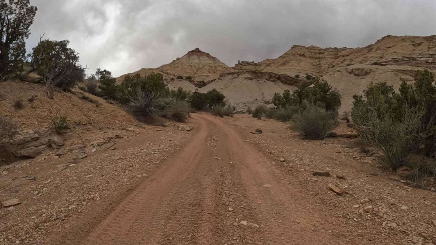
The Wickiup Loop
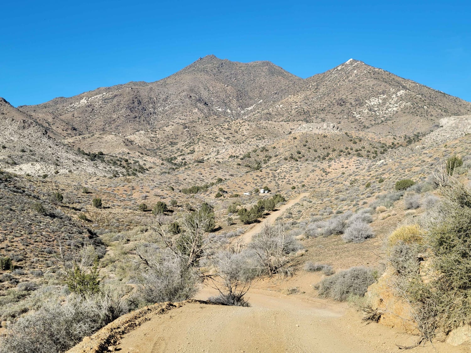
Welcome Springs Road
The onX Offroad Difference
onX Offroad combines trail photos, descriptions, difficulty ratings, width restrictions, seasonality, and more in a user-friendly interface. Available on all devices, with offline access and full compatibility with CarPlay and Android Auto. Discover what you’re missing today!
