Spaas Creek
Total Miles
5.9
Elevation
384.03 ft
Duration
2 Hours
Technical Rating
Best Time
Spring, Summer
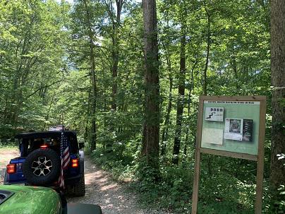
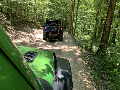
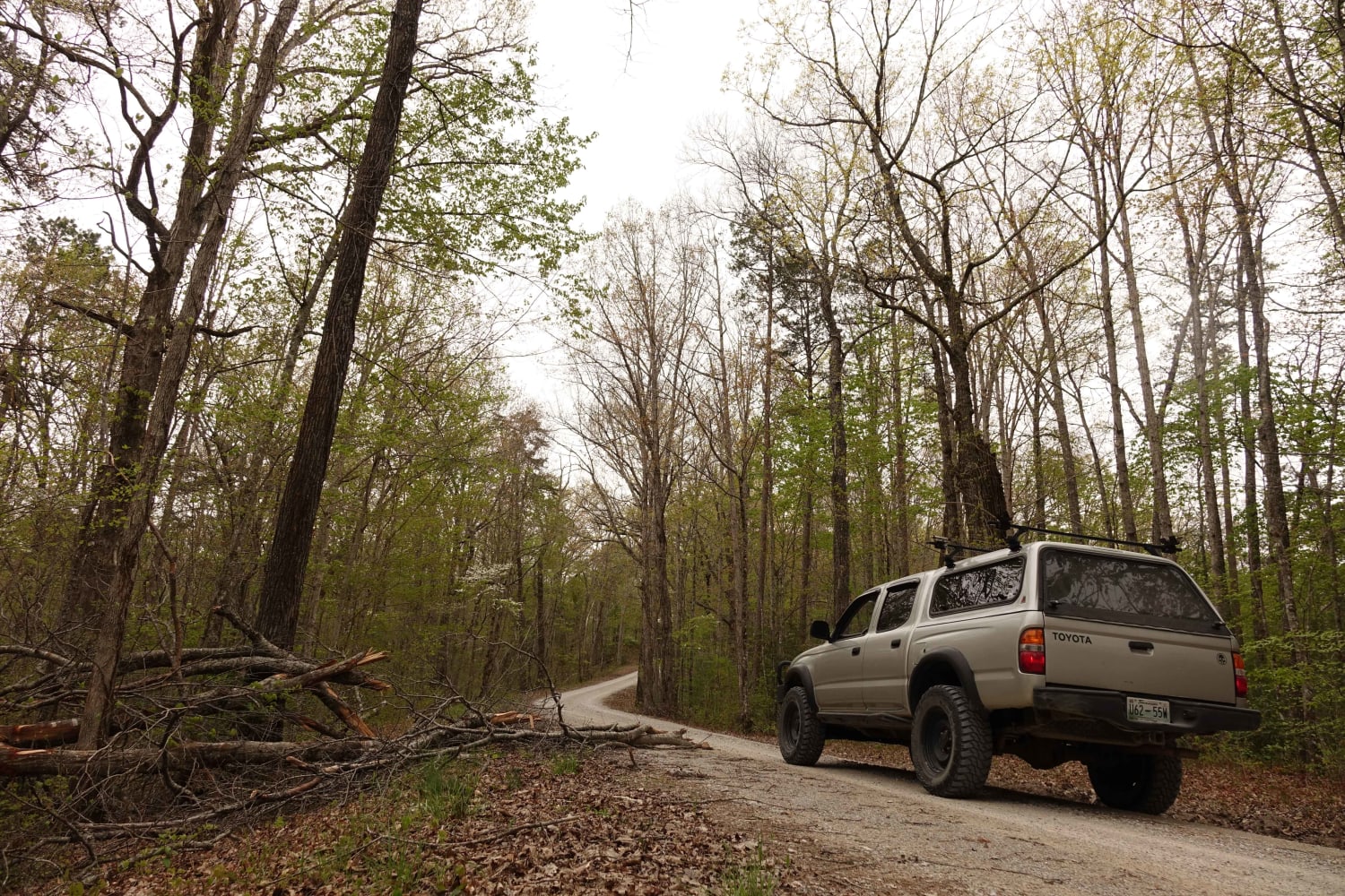
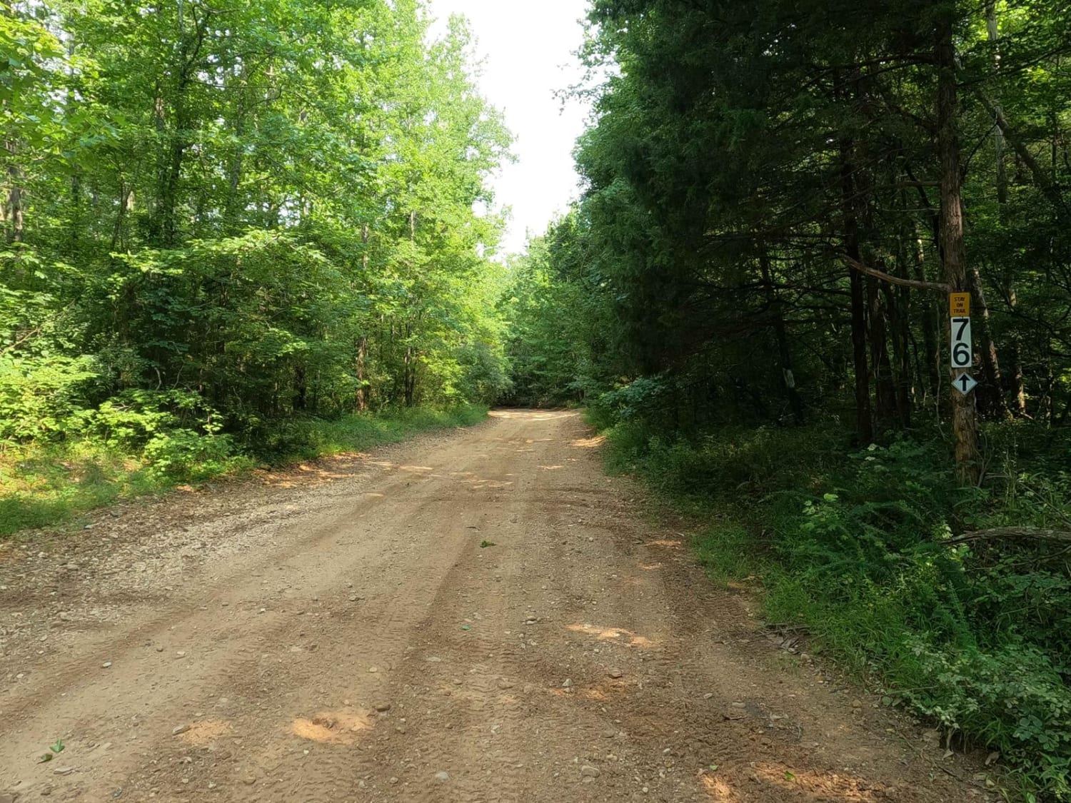
Trail Overview
Spaas Creek is a wonderful 6-mile creek ride east of Winchester. It is located inside the Daniel Boone National Forest and is a short distance from many other rides in the area. The northern trailhead is the most difficult part of the trail. There are several water crossings and boulder obstacles on the trail, and it is part of the Daniel Boone Backcountry Byway (DBBB) and is marked as such. It is possible to come across vehicles traveling in both directions, but there is normally plenty of room to get past. Slade is the closest town to the southern part of the trail.
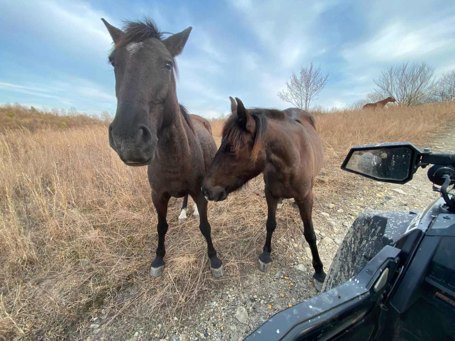
Photos of Spaas Creek
Difficulty
The majority of the trail is an easy ride. There are a few sections where it gets a little technical, but nothing careful people shouldn't be able to navigate.
Status Reports
Popular Trails
8 to 6 Road

Cinderella Mine Trail
The onX Offroad Difference
onX Offroad combines trail photos, descriptions, difficulty ratings, width restrictions, seasonality, and more in a user-friendly interface. Available on all devices, with offline access and full compatibility with CarPlay and Android Auto. Discover what you’re missing today!