Canal Road
Total Miles
1.3
Technical Rating
Best Time
Winter, Fall, Summer, Spring
Trail Type
Full-Width Road
Accessible By
Trail Overview
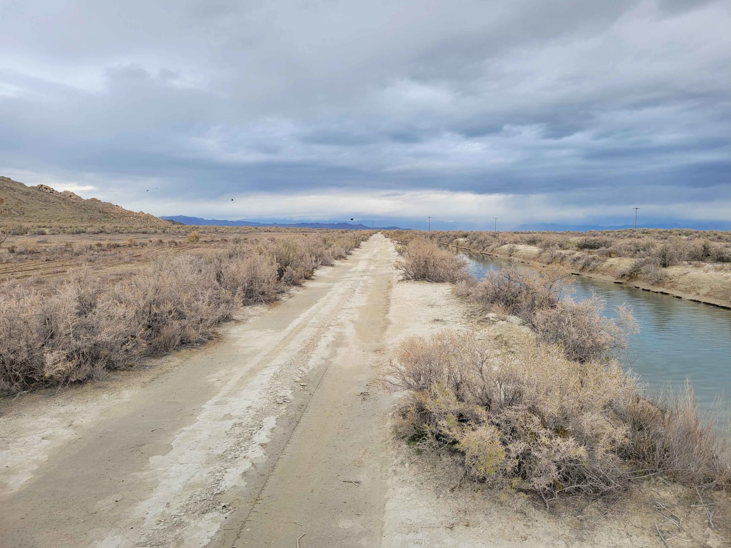
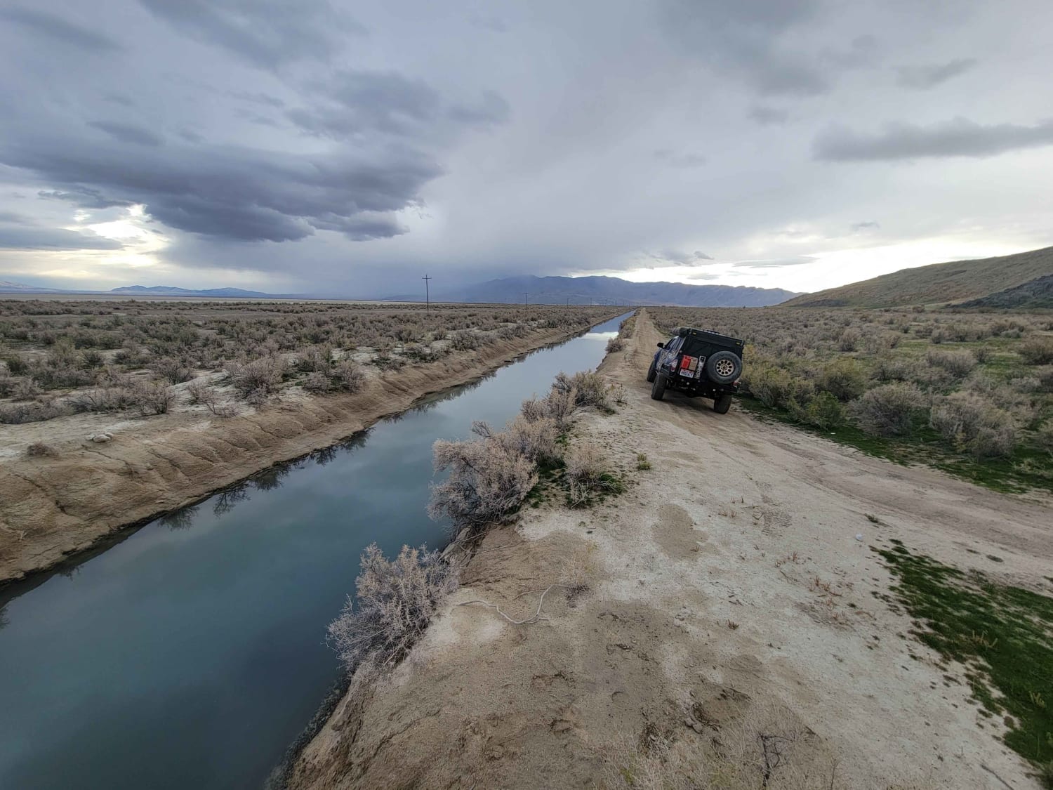
This straight-away trail leads to the furthest, Eastern part of the island's BLM land. It parallels one of the Great Salt Lake water canals and is in much better condition than many of the other trails in the area. A couple of ruts and mud holes are possible. There is no barrier to protect against falling into the canal, so use caution when driving on this road.
Photos of Canal Road
Difficulty
This straight-away trail leads to the furthest, Eastern part of the island's BLM land. It parallels one of the Great Salt Lake water canals and is in much better condition than many of the other trails in the area. A couple of ruts and mud holes are possible. There is no barrier to protect against falling into the canal, so use caution when driving on this road.
Status Reports
Popular Trails
Sheep Creek Road
Box Creek Road (FS# 40069)
The onX Offroad Difference
onX Offroad combines trail photos, descriptions, difficulty ratings, width restrictions, seasonality, and more in a user-friendly interface. Available on all devices, with offline access and full compatibility with CarPlay and Android Auto. Discover what you’re missing today!
