Buck Bald
Total Miles
2.2
Technical Rating
Best Time
Spring, Summer, Fall, Winter
Trail Type
Full-Width Road
Accessible By
Trail Overview
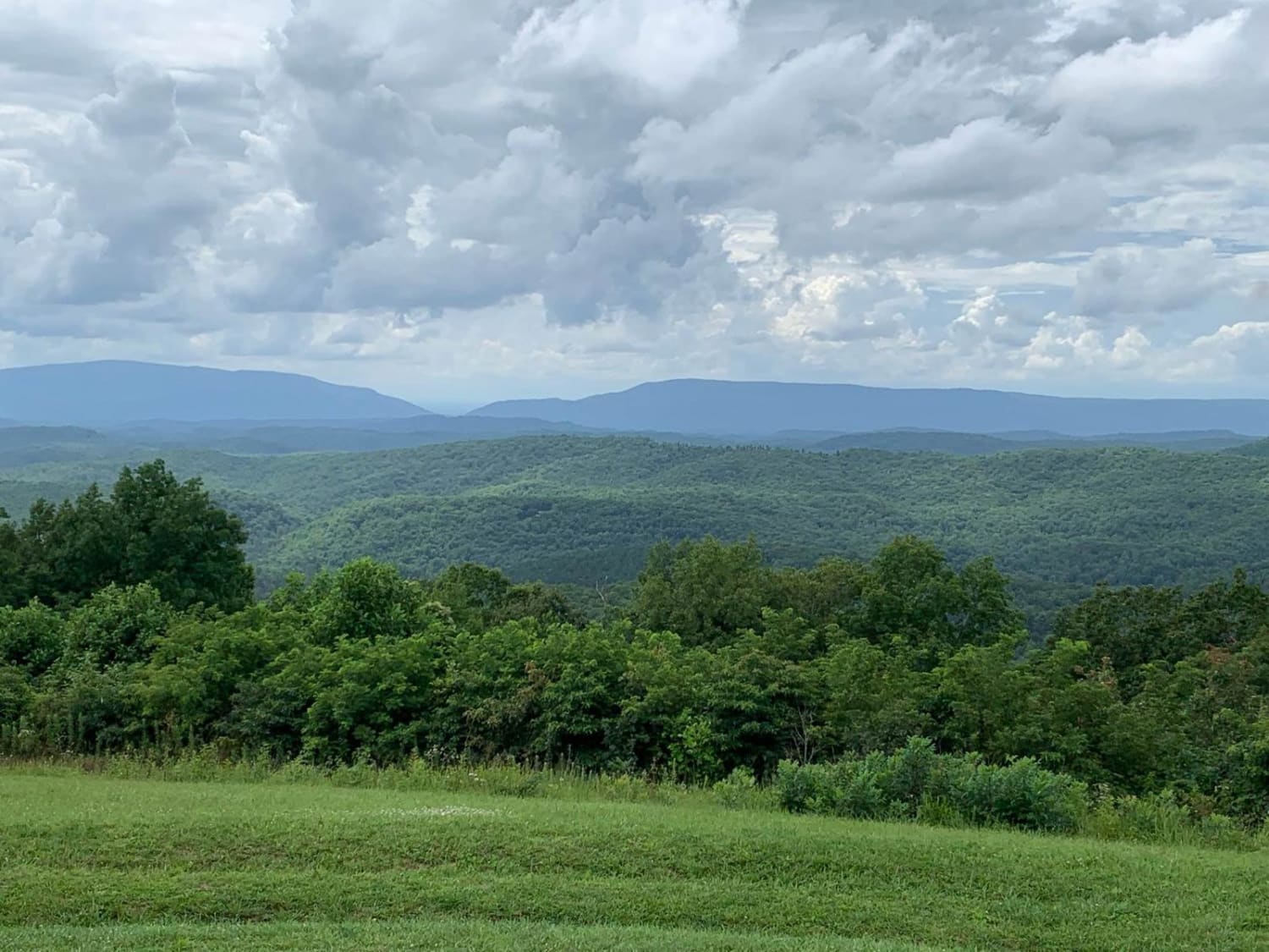
Gravel road to a beautiful bald that overlooks the mountains of North Carolina, Georgia, and Tennessee. Part of the Cherokee National Forests. To the north, you will see the Nantahala and Yellow Creek mountains of North Carolina. To the south, you will be looking at the North Georgia mountains of blue ridge and Ellijay. Also, below you, there is the Little Frog Wilderness Area and the Hiwassee River where it cuts through the mountains. Beautiful place to have a picnic and relax with outstanding views of the Cherokee Forest.
Photos of Buck Bald
Difficulty
Two lane gravel road
History
This was an old fire tower. You can still see the C15 on the ground made out of concrete that's how the planes knew where they were.
Popular Trails

Paint Mountain Road

Rocky Top Road

83 - American Knob Bypass
The onX Offroad Difference
onX Offroad combines trail photos, descriptions, difficulty ratings, width restrictions, seasonality, and more in a user-friendly interface. Available on all devices, with offline access and full compatibility with CarPlay and Android Auto. Discover what you’re missing today!

