Coyote Gulch
Total Miles
2.8
Technical Rating
Best Time
Spring, Summer, Fall, Winter
Trail Type
Full-Width Road
Accessible By
Trail Overview
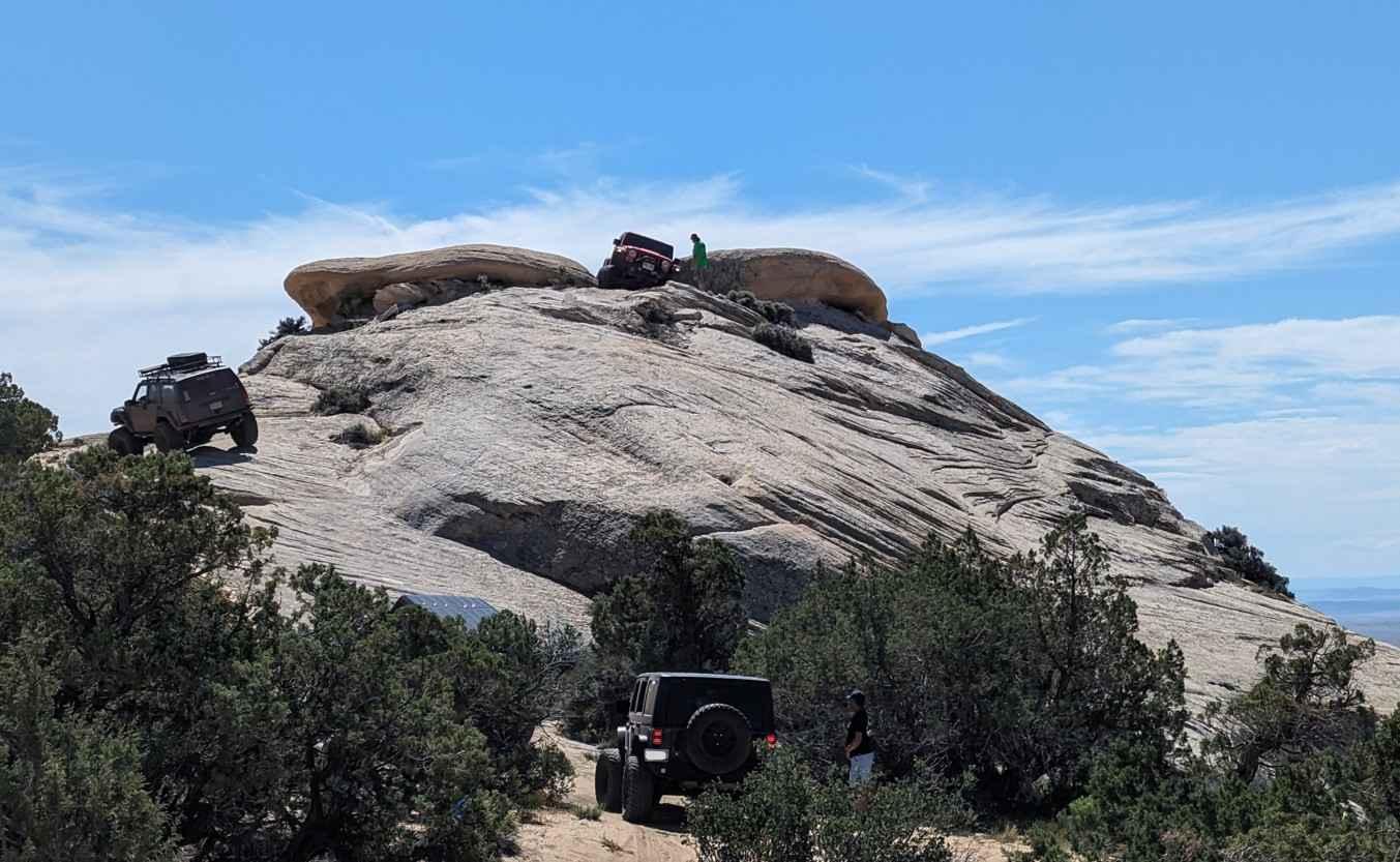
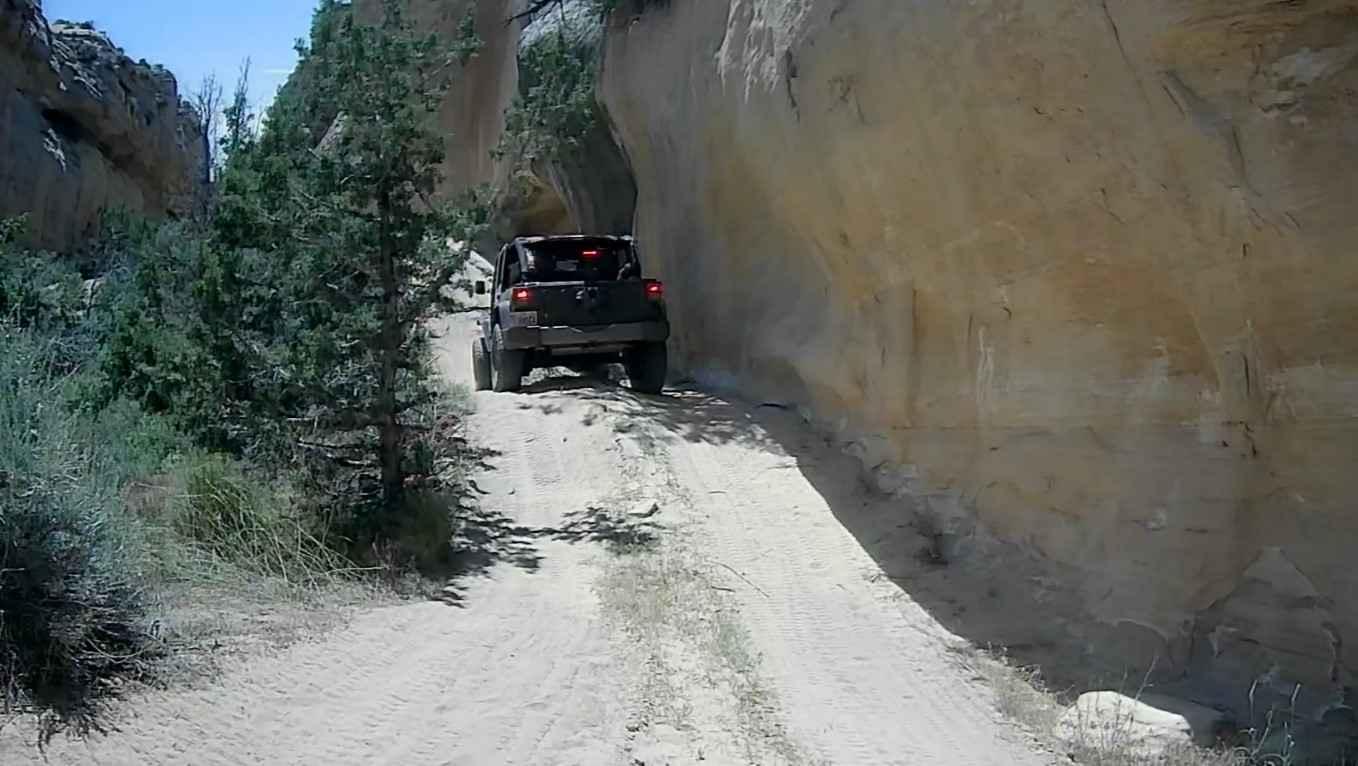
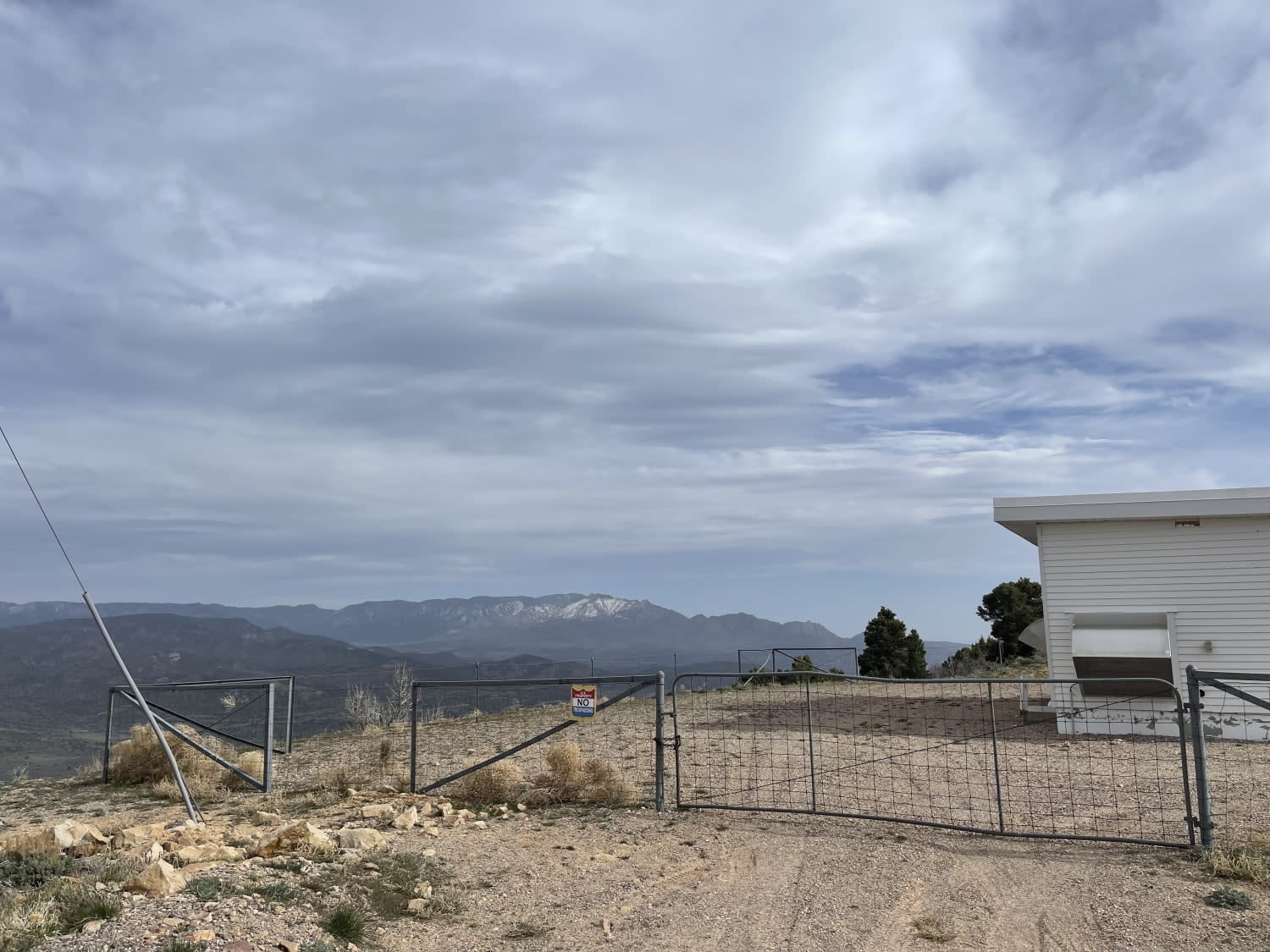
Coyote Gulch is one of several trails within the Outlaw Trail System in and around Vernal, Utah. This trail was created for Rock Rally 2024 and is between the Doc's Beach and Sand Bar trails. Rated 6 of 10, this trail consists of waving surfaces including canyons, wedges, and ledges. Throw in some sand, dirt hills, and the potential for some of the local vegetation, and it becomes a moderately difficult trail. Coyote Gulch includes steep climbs, steep descents, and off-camber sections that will challenge novice drivers, while more experienced drivers will sharpen their skills as a warm-up to more difficult trails within the Outlaw Trail System. Several obstacles on this trail will require a spotter as tire placement is critical. This trail offers obstacles with names such as Gunsight Rock (optional) and The Can Opener. Other obstacles on the trail include steps up to 24 inches as well as drops up to 36 inches. Several eroded areas of the trail are very challenging. This trail offers some of the best moderately challenging obstacles as well as scenic views that Vernal has to offer. The trail consists both of sandy washes and lots of white sandstone to play upon. Also, keep your eyes open, as other trails such as Doc's Beach are visible from many spots. The trailhead starts on 2700 North just past the private property and follows a sandy track for about three-quarters of a mile. Then the real fun begins as the trail starts to climb the white rock face of the mountain. At the one-mile point, follow the trail through the loop in a counterclockwise direction. On the left is a major obstacle that is completed by some in both directions. Once the loop is completed, continue on in a northwest direction. At 1.9 miles, you will see Gunsight Rock directly to your front. This is an optional loop on the track which is run in a clockwise fashion. Both the ascent on the east side as well as the descent on the west side are blind to the driver and will require spotting to avoid any potential dangers that the trail offers. A little further down the trail is the Can Opener, an obstacle that tends to throw rigs sideways into the rock, potentially damaging hardtops. The last part of the trail is through a deep canyon that includes a narrow rock climb that has a deep wash on both sides, off-camber rock steps with deep sand on both the entry and exit, as well as several off-camber ledges. Upon exit of the canyon, the trail snakes its way to the trail end at the water tanks and pavement. Cell service seems to be good from the open ridge lines and drops off when in the canyons. The nearest services of all types are located in Vernal.
Photos of Coyote Gulch
Difficulty
The trails are difficult with considerable erosion damage, loose rocks, dirt, and slick rock. Water in excess of 12 inches is possible with mud conditions. Steps do not exceed 36 inches. 4WD, tall tires (33-inch plus) with two traction adding devices (lockers, limited slips) are required. A winch would be a plus. Enhanced suspension travel and good ground clearance are required. Excellent driving skills are recommended.
Status Reports
Popular Trails

Cutler Point-BLM1035
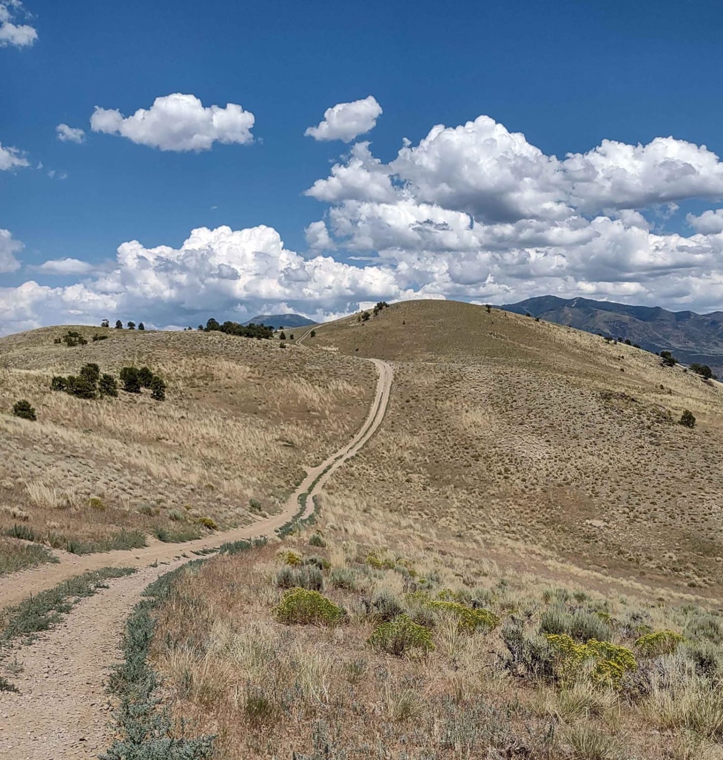
Over Hill, Over Dale
Book Cliffs, Sego Canyon
The onX Offroad Difference
onX Offroad combines trail photos, descriptions, difficulty ratings, width restrictions, seasonality, and more in a user-friendly interface. Available on all devices, with offline access and full compatibility with CarPlay and Android Auto. Discover what you’re missing today!
