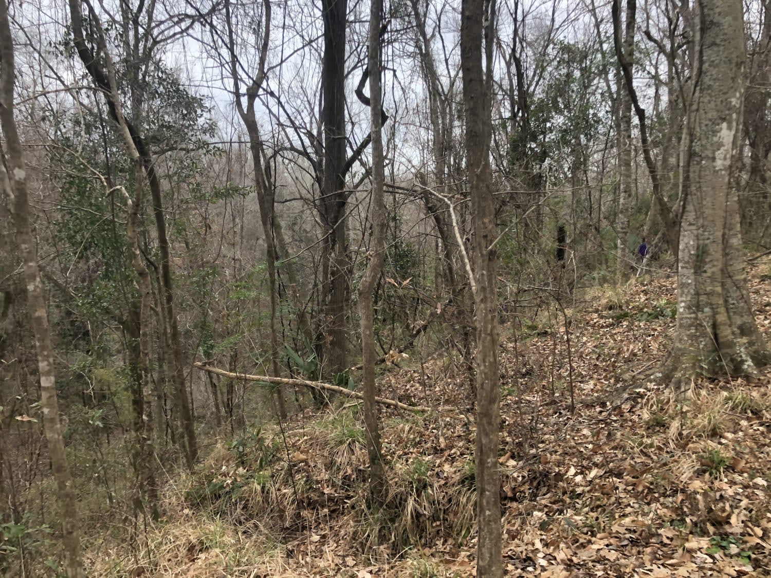
Tunica Hills WMA Trail 1
Total Miles
7.0
Elevation
102.08 ft
Duration
--
Technical Rating
Best Time
Spring, Summer, Fall, Winter
Trail Overview
This trail route runs through the Tunica Hills Louisiana Wildlife Management Area. The route consists of gravel and dirt roads that are carved on the top of ridgelines that at times have 50- to 100-foot drop-offs as close as 5-10 feet from the main trail. The majority of the trail is covered by old-growth canopies that provide shade during the drive but also require more time to dry out wet areas on the trail. This trail and others in the immediate area offer a very different and exciting topography than most people expect to see in Louisiana and Mississippi. Near the beginning of the trail is a free WMA camping area with amazing views, especially in the wintertime when the canopy is bare. There are also a variety of trail spurs to explore and quiet areas to take a break.
Photos of Tunica Hills WMA Trail 1
Difficulty
During times of the year when it has not rained for a week or more, the trail can be reliably traveled by most SUVs or 4X4 vehicles. There are areas on the trail that have the potential to have deeper mud or slick, uphill or downhill one-vehicle passes. Due to the thick canopy cover on most of the trail, wet areas dry more slowly.
Popular Trails
Sherburne Wildlife Management Area (WMA) Trail
Jake Anding Trail

Rutherford Beach Mesquite Ridge
The Arkansas Overland Route - TrailHawk Loop - Section 23
The onX Offroad Difference
onX Offroad combines trail photos, descriptions, difficulty ratings, width restrictions, seasonality, and more in a user-friendly interface. Available on all devices, with offline access and full compatibility with CarPlay and Android Auto. Discover what you’re missing today!
