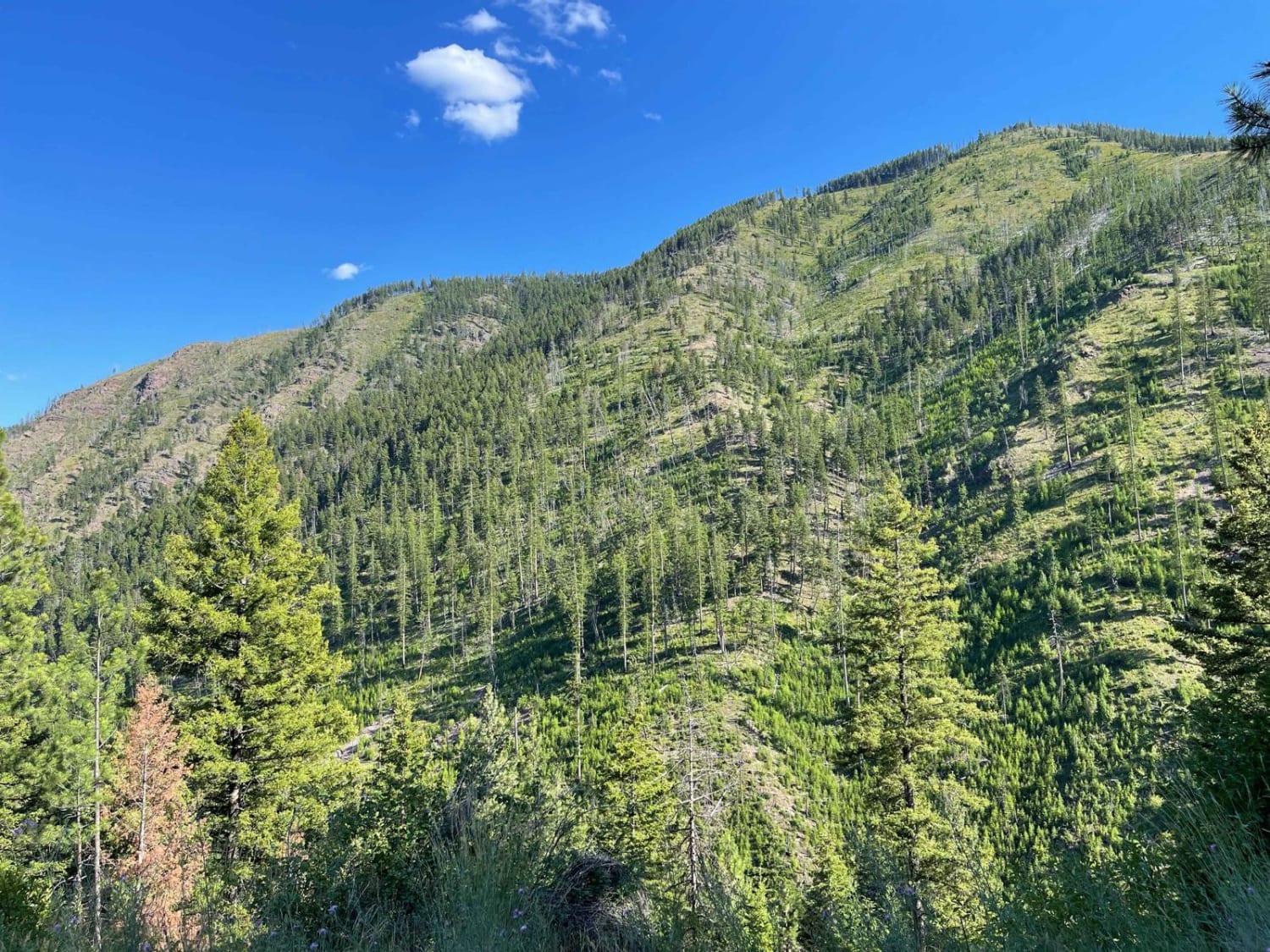
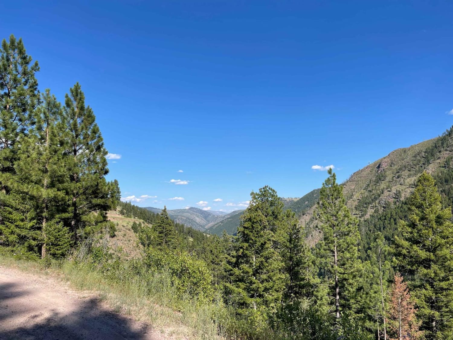
West Fork Schwartz Creek
Total Miles
4.1
Technical Rating
Best Time
Fall, Summer, Spring
Trail Type
Full-Width Road
Accessible By
Trail Overview
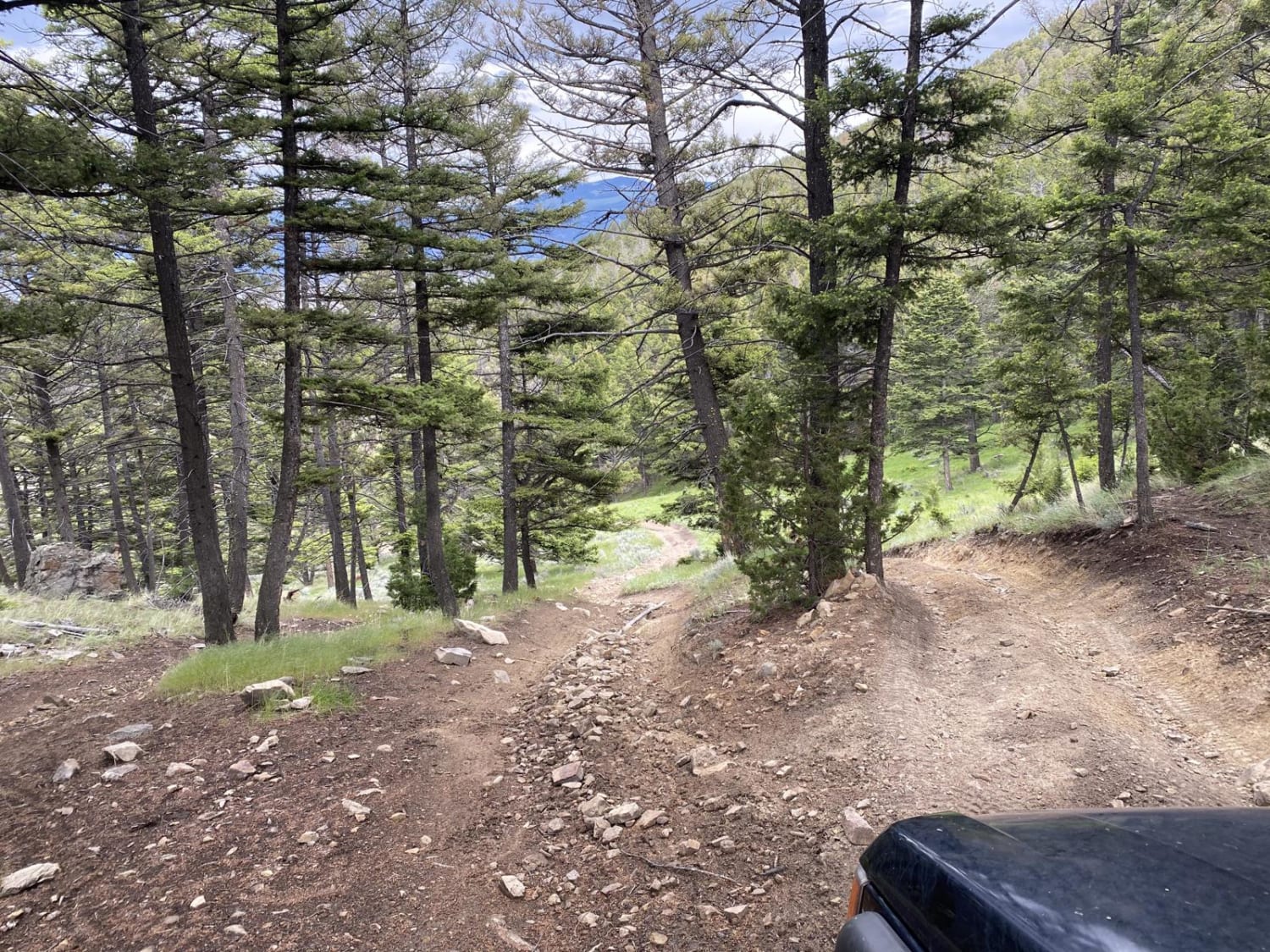
This is not the super smooth, easy way into the Sapphire Mountain Range. This trail is rocky, with a few tight corners and a steep climb. There are a few spots with a nice view, but it's more of an access road with no real camping options. There are one to two bars of Verizon LTE service if you have any problems. There are spots here and there to let an oncoming vehicle pass by.
Photos of West Fork Schwartz Creek
Difficulty
LooseBe careful of sidewall damage from Sharp rocks. Loose gravel in tight corners
Status Reports
Popular Trails
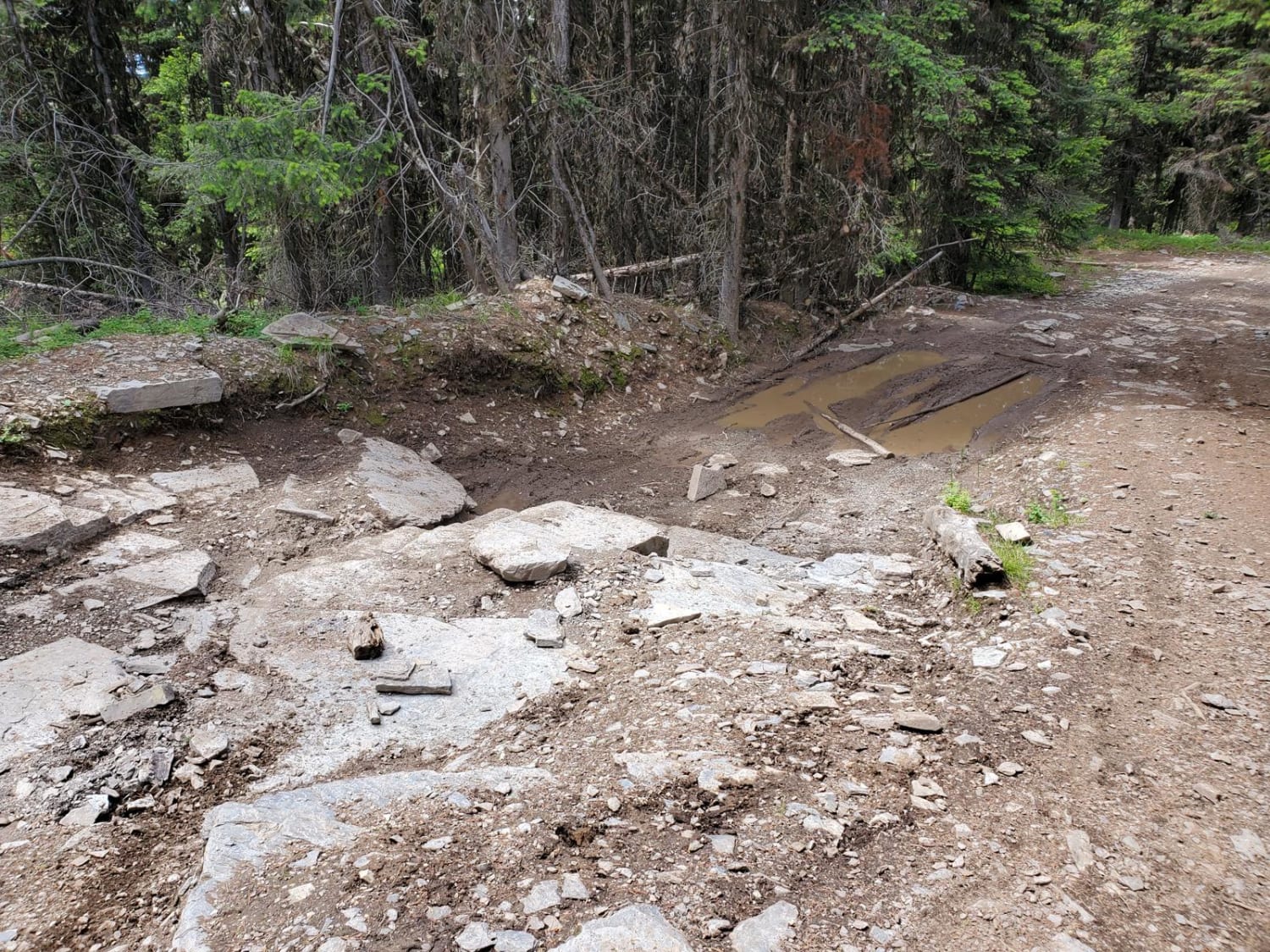
Blacktail Wild Bill OHV
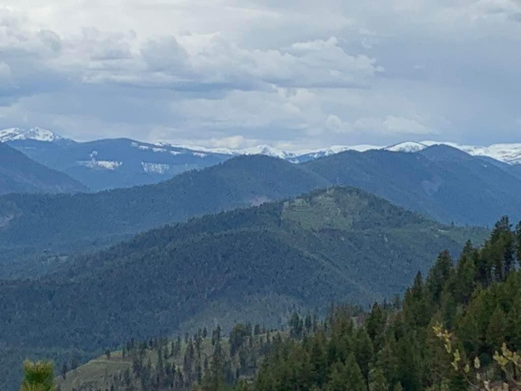
Johnson Creek to Superior

Lee Ridge Trail 295
Ringing Rocks Trail
The onX Offroad Difference
onX Offroad combines trail photos, descriptions, difficulty ratings, width restrictions, seasonality, and more in a user-friendly interface. Available on all devices, with offline access and full compatibility with CarPlay and Android Auto. Discover what you’re missing today!
