Acoma-FR30017
Total Miles
9.7
Elevation
1,908.41 ft
Duration
0.75 Hours
Technical Rating
Best Time
Spring, Summer, Fall, Winter
Trail Overview
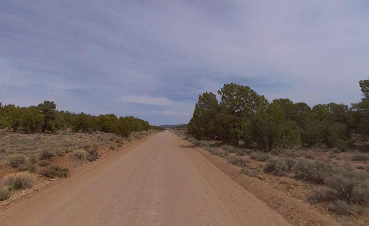
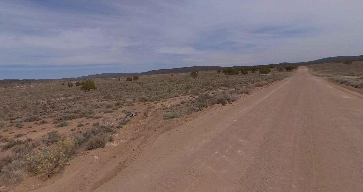
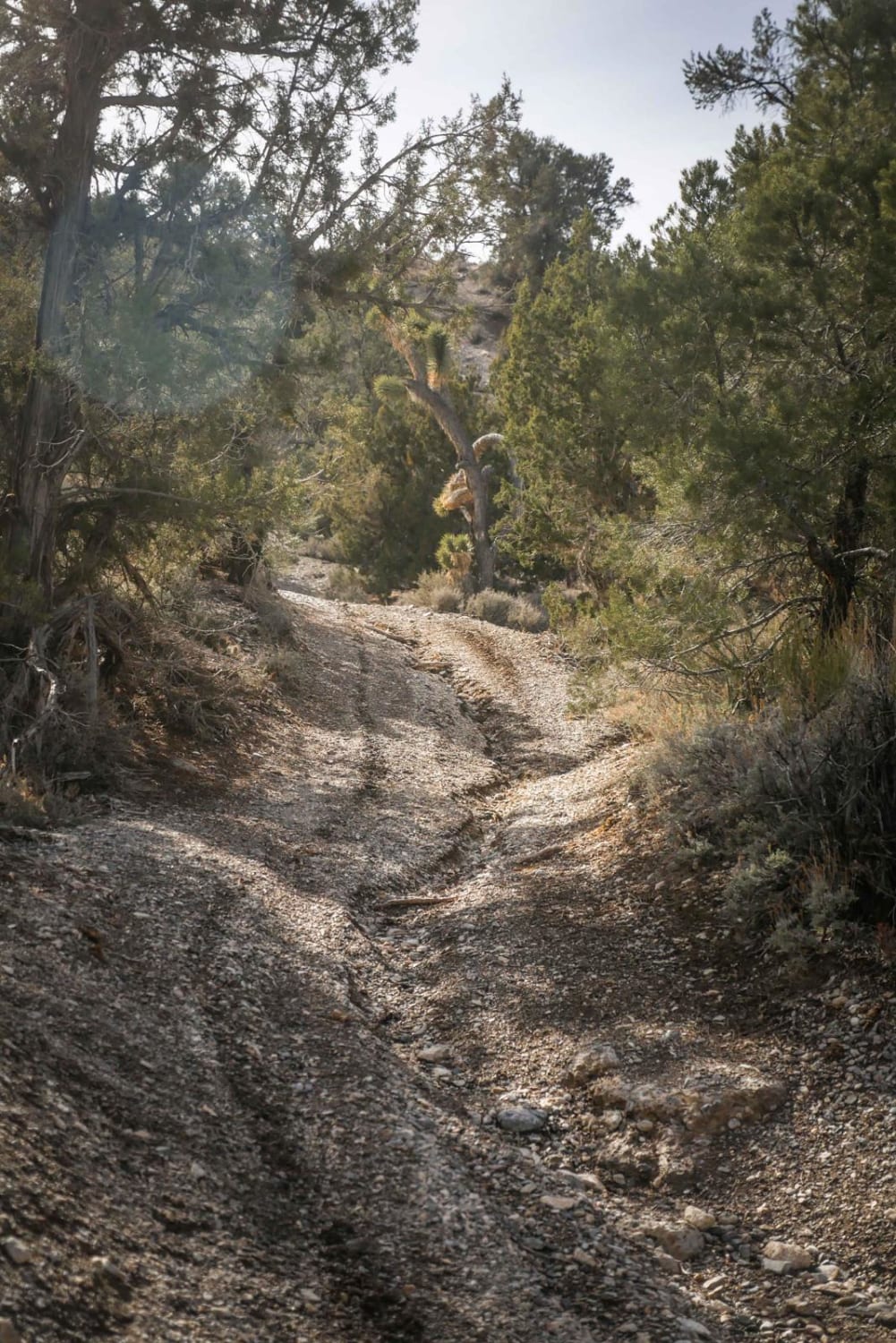
FR30017-Acoma is a 10-mile maintained hard-pack dirt and rock trail rated 1 of 10. The north end of this road is located in Utah within the Dixie National Forest, Pine Valley Ranger District, and is designated FR30017-Acoma. The south end of this road is located in Lincoln County, Nevada, and is designated Enterprise Road. Acoma is an extinct town in Lincoln County located just west of the Beaver Dam Road intersection. The trail leads through relatively flat scrub brush with scattered pinyon pines. In the spring of 1904, the Utah and Eastern Copper Company started mining in the area. The first settlement at Acoma was made in about 1905. A post office was in operation at Acoma from 1905 until 1913. In 1941, the Acoma had a population of 15. Visitors should plan carefully and be prepared for backcountry travel conditions. Don't expect cell phone reception in this area; the nearest services are in Enterprise or Veyo.
Photos of Acoma-FR30017
Difficulty
This is a county dirt road with infrequent or light maintenance after rain or snow. High-clearance light-duty 4WD may be required.
Status Reports
Popular Trails
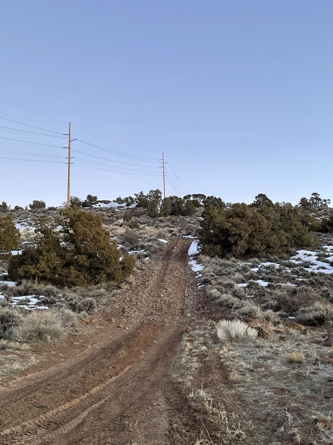
Spanish Springs Foothills
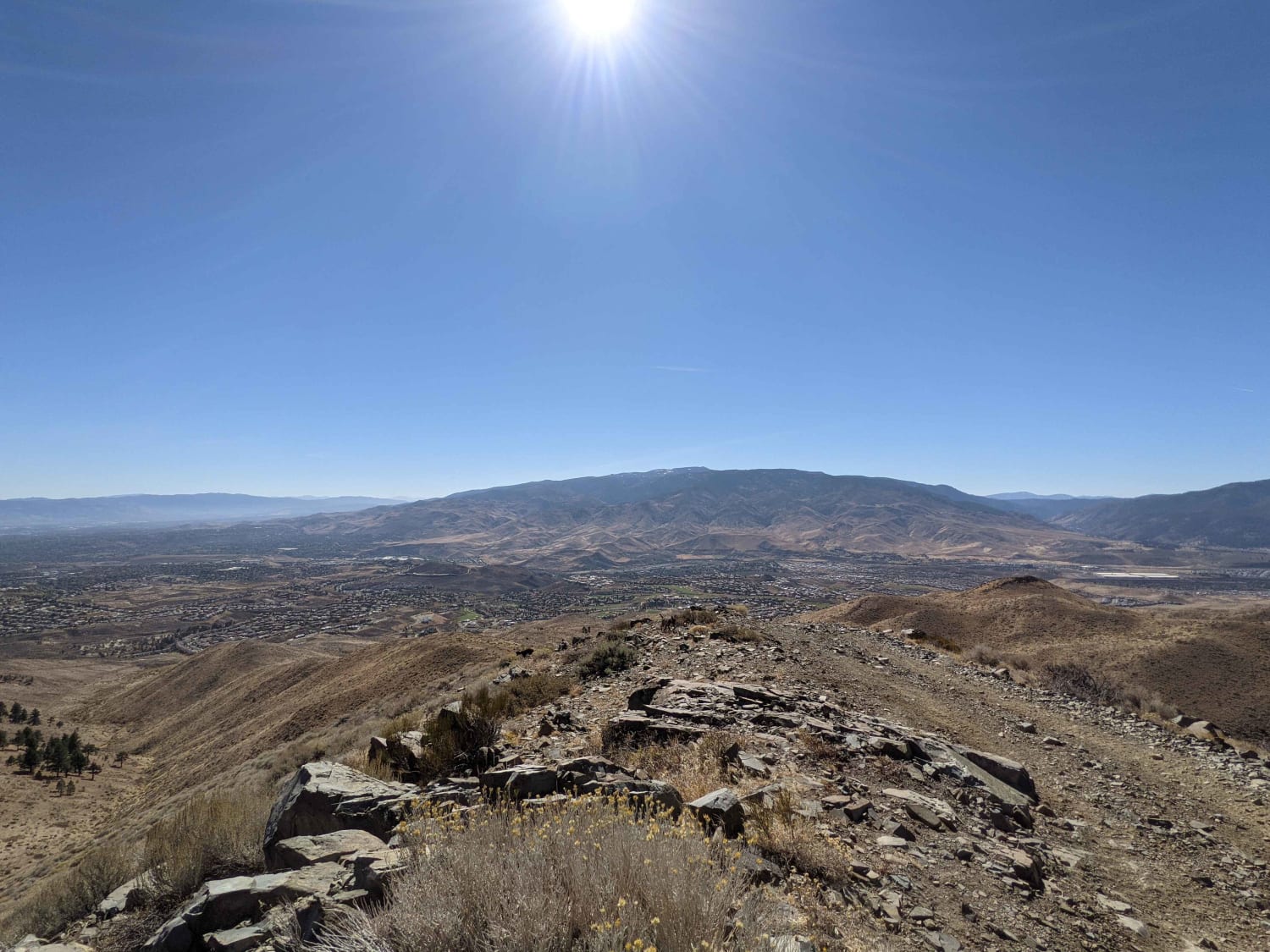
Peavine to Robb

Wild Horse Trail
The onX Offroad Difference
onX Offroad combines trail photos, descriptions, difficulty ratings, width restrictions, seasonality, and more in a user-friendly interface. Available on all devices, with offline access and full compatibility with CarPlay and Android Auto. Discover what you’re missing today!
