Dolores Triangle
Total Miles
37.2
Technical Rating
Best Time
Spring, Fall
Trail Type
Full-Width Road
Accessible By
Trail Overview
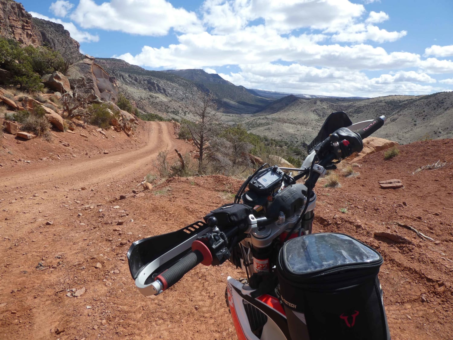
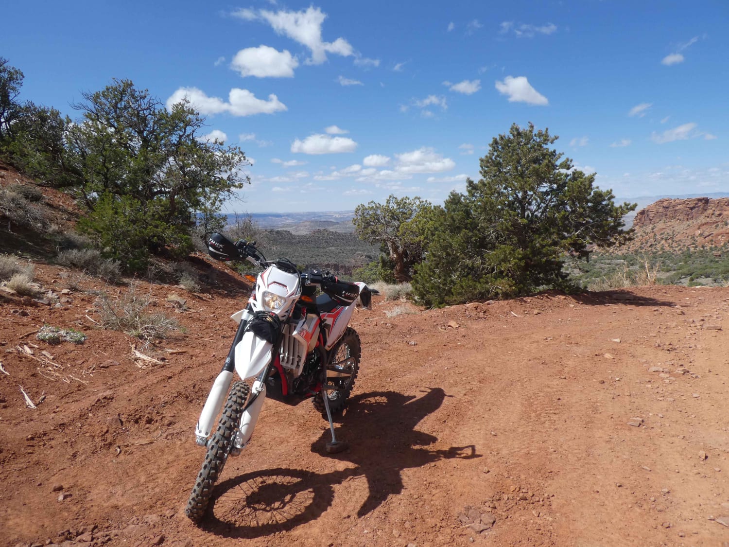
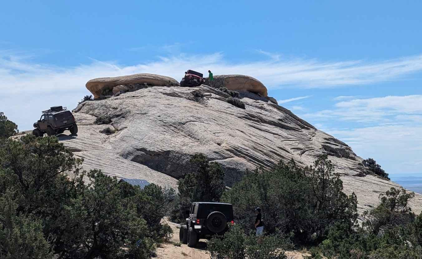
The Dolores Triangle is a scenic high desert dirt/jeep trail in Eastern Utah, ranging in elevation from 4,500 feet to 6,500 feet. It features rugged landscapes with pinion and juniper trees, granite rocks, red sandstone bluffs, and red sand washes. This area is rarely traveled because of its location. The Triangle is bordered by the Dolores River, Wilderness Areas, and rugged canyons. The only easy access is by entering through the Colorado side, traveling through the Colorado National Monument and Glade Park ranch country. It's well worth the drive.
Photos of Dolores Triangle
Difficulty
70% of the trail is easy, but several miles are rough and rocky with some steep grades, loose rock and sand in places.
Status Reports
Popular Trails
Black Rock Canyon West to Peak
Water Canyon-Hell Dive Canyon Road (BLM052)
Coyote Gulch

Old Canyon Trail
The onX Offroad Difference
onX Offroad combines trail photos, descriptions, difficulty ratings, width restrictions, seasonality, and more in a user-friendly interface. Available on all devices, with offline access and full compatibility with CarPlay and Android Auto. Discover what you’re missing today!
