Cedar Creek Road - Oregon Lakes
Total Miles
18.1
Elevation
1,824.69 ft
Duration
1.25 Hours
Technical Rating
Best Time
Spring, Summer, Fall, Winter
Trail Overview
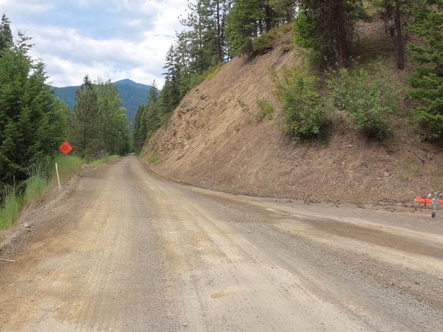
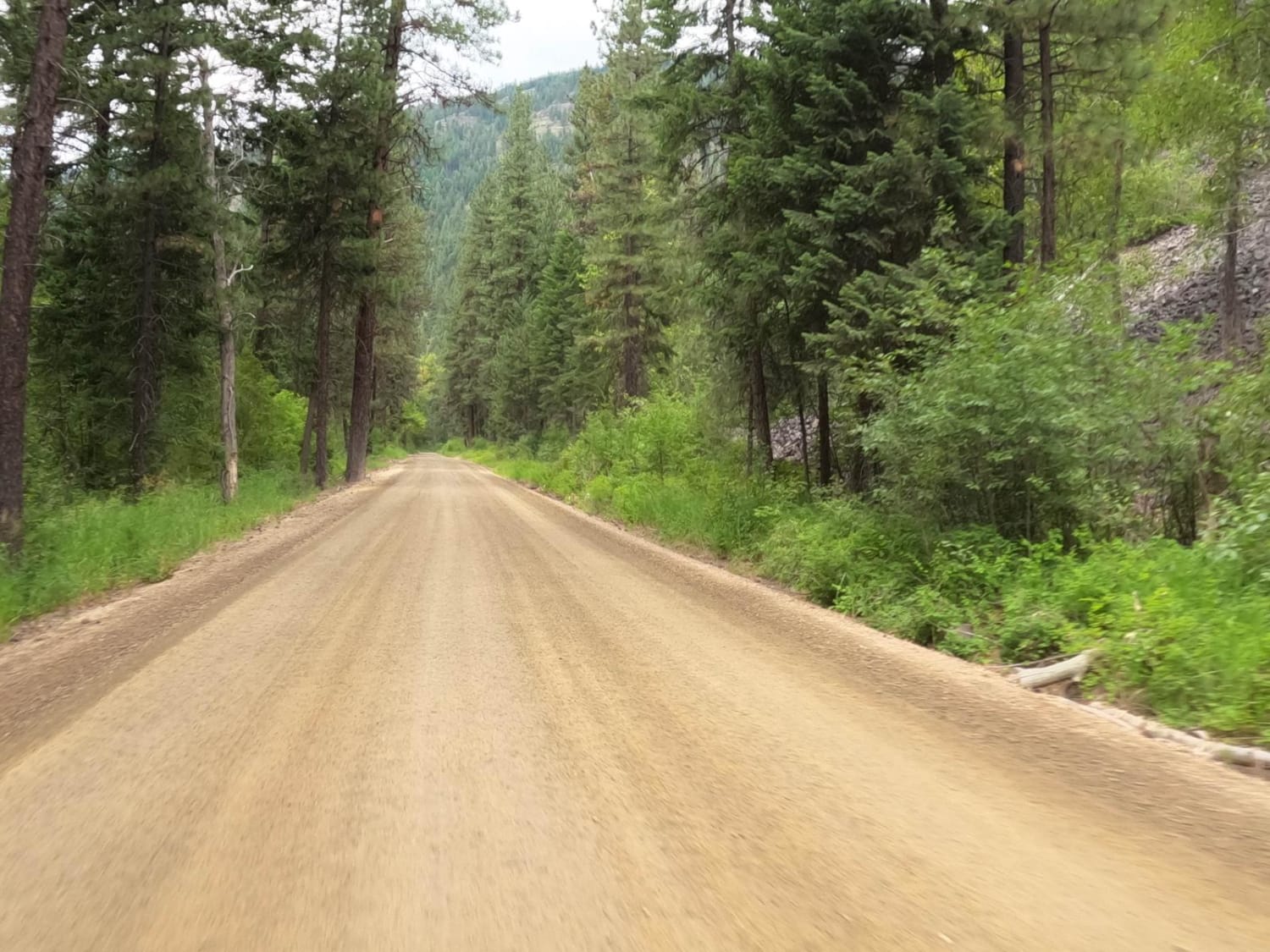
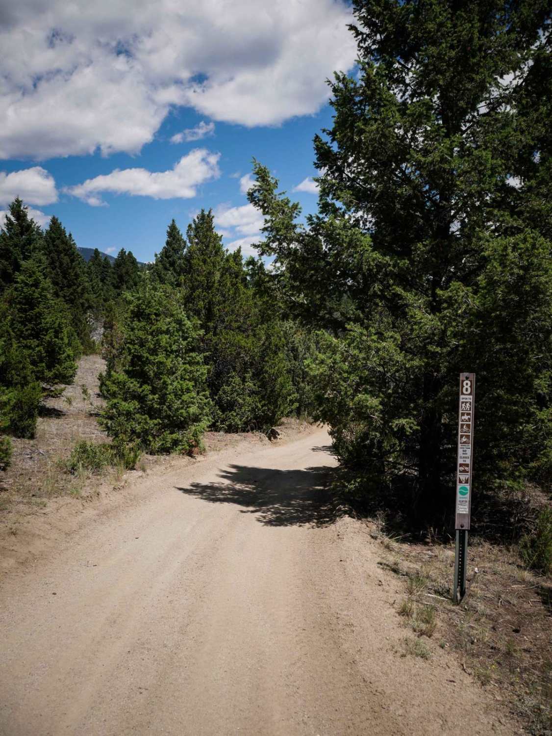
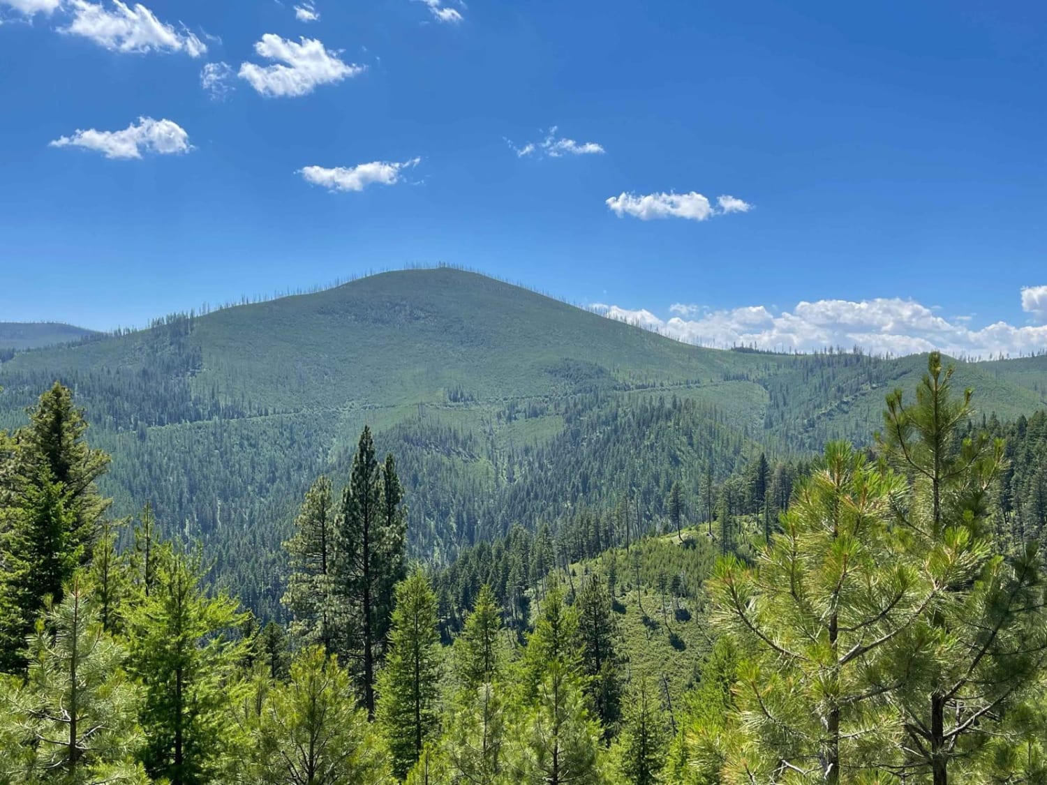
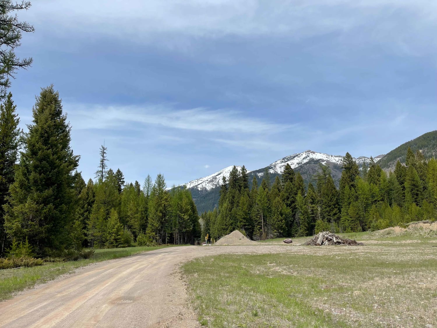
The route begins on a hard-packed dirt-gravel road from Superior. The road is mainly two lanes with plenty of room to pass for the first 21 miles and slowly narrows to one lane with room barely to pass. Offline Maps will be needed to complete the route as cell service is lost in some areas. Extensive logging is going on toward the end of the route and you should be aware of logging trucks using the roadway. Road dust could be a problem in dry conditions. The route climbs from 2900'-6000' with some very scenic areas. The last quarter mile of the route is very rutty and rocky going to the parking area.
Photos of Cedar Creek Road - Oregon Lakes
Difficulty
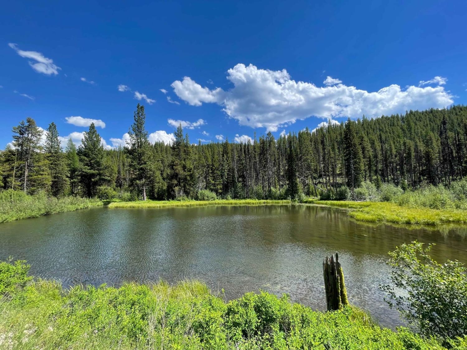
There are plenty of areas to pass another vehicle, but the last mile or two is mostly one lane with not much room to pass. There are limited parking spaces for vehicles at the trailhead to the Oregon Lakes. A logging truck could pop up around any corner along the entire route.
Popular Trails
West Holloman Schwartz
Owl Creek Loop
The onX Offroad Difference
onX Offroad combines trail photos, descriptions, difficulty ratings, width restrictions, seasonality, and more in a user-friendly interface. Available on all devices, with offline access and full compatibility with CarPlay and Android Auto. Discover what you’re missing today!
