Springs Kiln Loop
Total Miles
6.1
Elevation
1,848.86 ft
Duration
2 Hours
Technical Rating
Best Time
Spring, Summer, Fall, Winter
Trail Overview
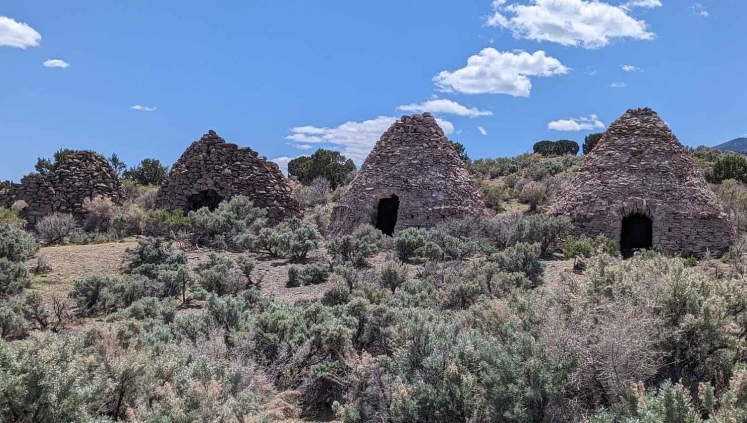
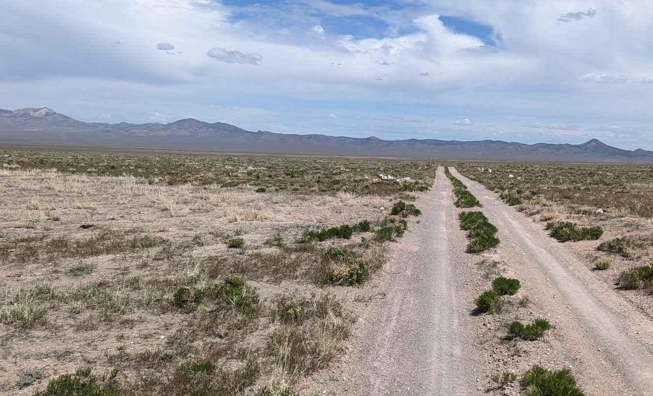
Springs Kiln Loop is a single track 6.1-mile point-to-point loop rated 3 of 10. The loop starts and ends on Revenue Basin Road on the northern end of the Wah Wah Mountains. The trail runs around two mountains that are considered lava domes formed about 30 million years ago. The Wah Wah Springs supervolcano which encompasses most of southwest Utah is roughly 30 time bigger that the famous caldera of Yellowstone National Park. In more recent times, the mountains in this area were covered in cedar and pine which was harvested to make charcoal used in the smelting process at the Frisco Mines to the north. Located about halfway around the loop are four kilns used to make charcoal which was then taken by wagon to the mines in the north. These kilns are over 100 years old being built around the 1870s and last used around 1900. Two of the kilns are still in remarkable condition with the remaining two having the roofs collapse into the kiln interior. The trail from the north side is well established and can be accessed by any high clearance 2 or 4WD vehicle. From the south side, the trail runs through several washes with loose sand and the potential for higher erosion after bad weather. The Wah Wah Mountains are one of the most remote areas of western Utah with no services at all. The nearest service is 50 plus miles away in Milford. This area is above 6000' and is subject to severe weather and may be closed during the winter months.
Photos of Springs Kiln Loop
Difficulty
This trail consists of loose rock, dirt, and sand with some slickrock surfaces. Some erosion; washes, gulches and rock steps no higher than 18". Tall tires (33" plus) and limited slip would are a plus. 4WD may be required. Enhanced suspension travel and good ground clearance are helpful. Good driving skills are a plus.
Status Reports
Popular Trails
Lower Sand Cove Dam
Fallen Tree Gulch (FS#40634)
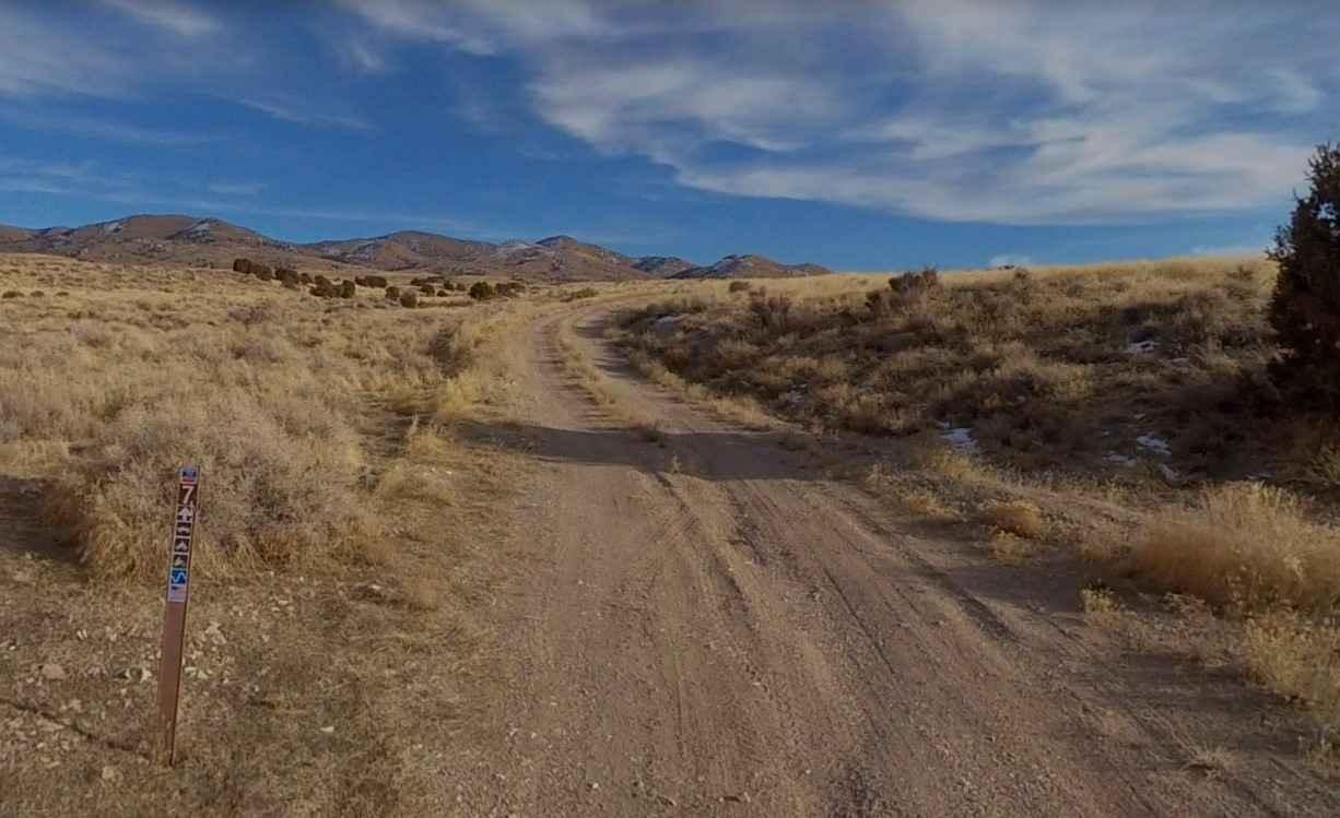
Burbank Hills Trail 7
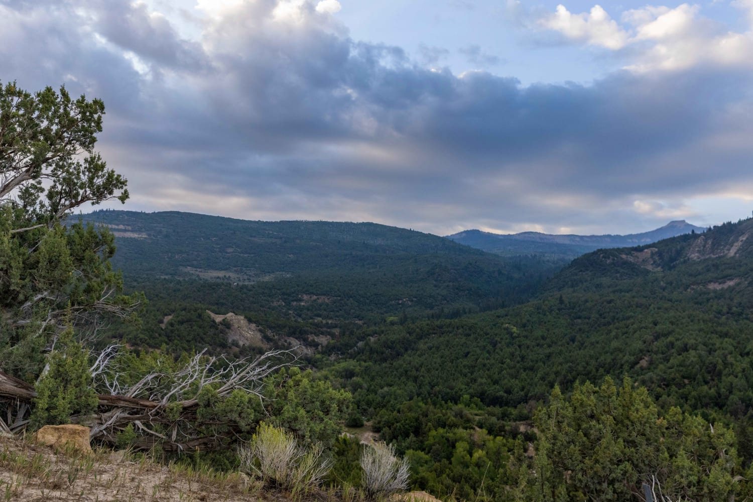
Mayfield-Gunnison Road
The onX Offroad Difference
onX Offroad combines trail photos, descriptions, difficulty ratings, width restrictions, seasonality, and more in a user-friendly interface. Available on all devices, with offline access and full compatibility with CarPlay and Android Auto. Discover what you’re missing today!
