Mary Ellen Gulch
Total Miles
3.8
Elevation
3,089.66 ft
Duration
--
Technical Rating
Best Time
Summer, Fall
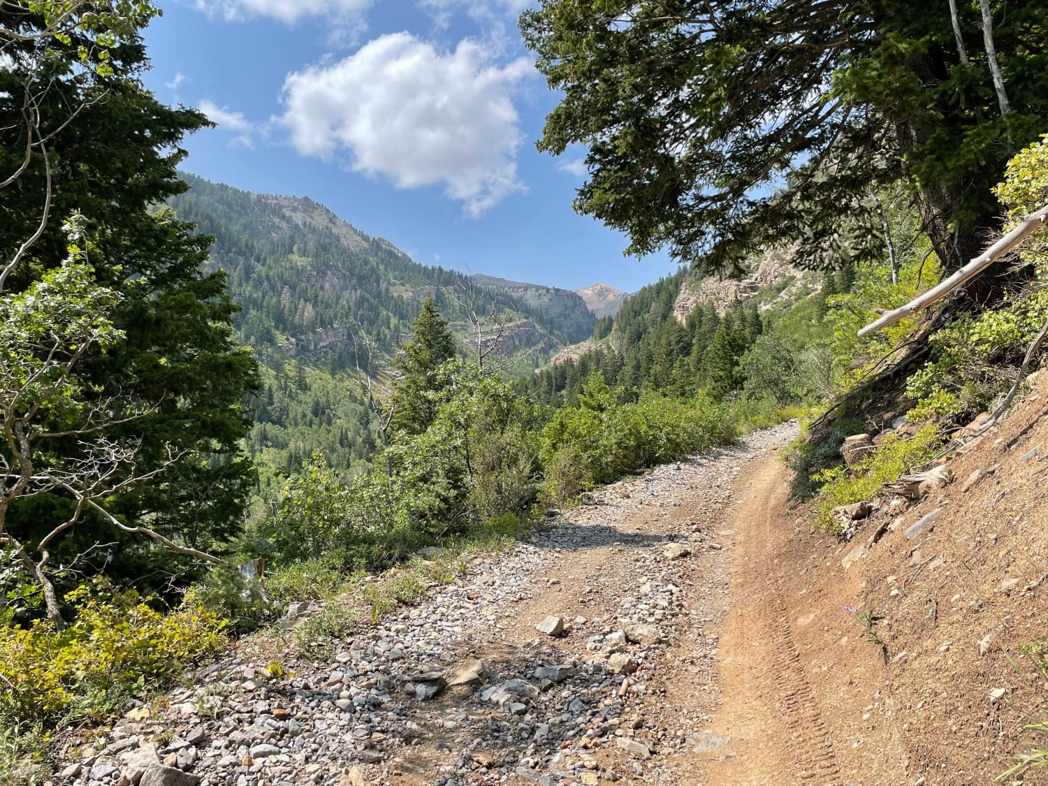
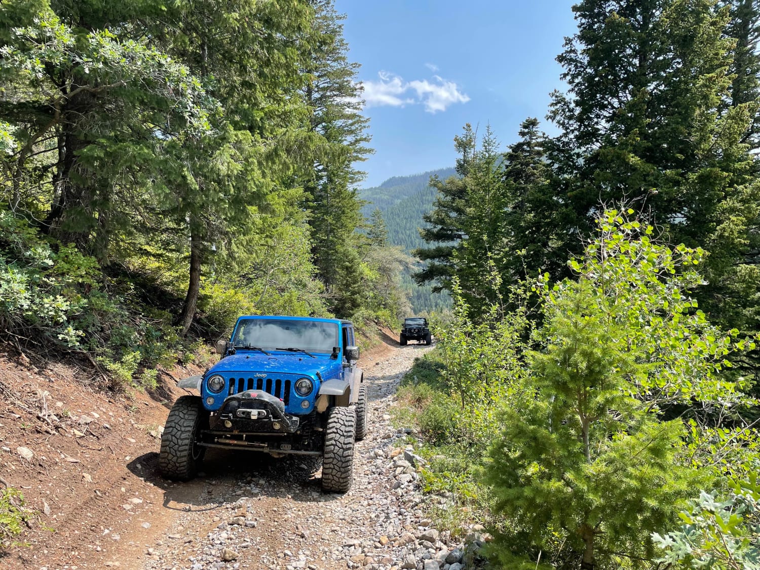
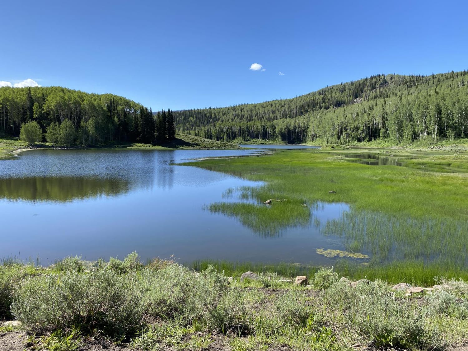
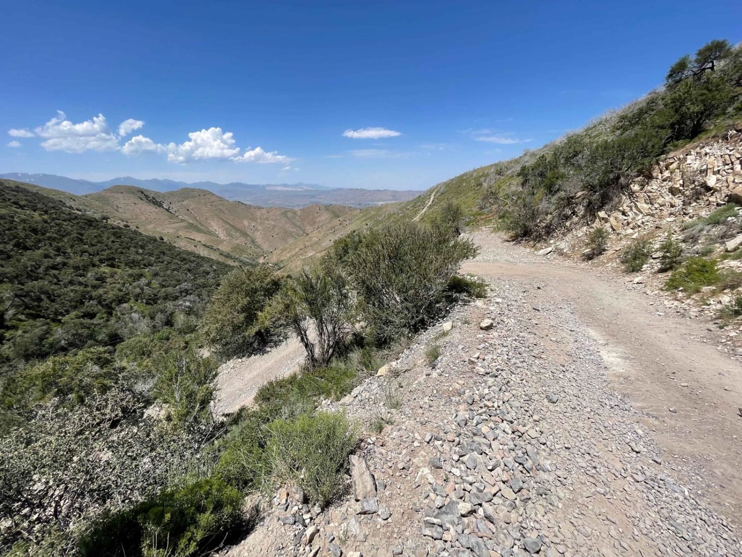
Trail Overview
Scenic in-and-out trail with mild technical driving. This beautiful country includes rich vegetation, and the trail follows a rocky stream that flows year-round. Watch for huckleberries and wild raspberries along the trail early in the summer and changing leaves during the fall. This is considered one of the easier 4x4 trails spurring from American Fork Canyon and is a good warm-up for Forest Lake and Mineral Basin. Expect traffic during the weekends with limited opportunities to pass. Remember to give the right-of-way to uphill traffic. Motorized access ends at the Snowbird property line.
Photos of Mary Ellen Gulch
Difficulty
Trail is generally a narrow bumpy road. Rocky sections get more technical toward the end of the trail. Mild off-camber in places. Overall, not a difficult trail for an experienced driver in a stock high-clearance SUV.
Status Reports
Popular Trails
Farnsworth Lake Gates Lake Trail
Blue Notch Road

Slickrock 4
Israel Canyon Lake Mountains Pass
The onX Offroad Difference
onX Offroad combines trail photos, descriptions, difficulty ratings, width restrictions, seasonality, and more in a user-friendly interface. Available on all devices, with offline access and full compatibility with CarPlay and Android Auto. Discover what you’re missing today!