Faulkner Gap
Total Miles
19.8
Elevation
1,388.22 ft
Duration
2 Hours
Technical Rating
Best Time
Spring, Fall, Summer, Winter
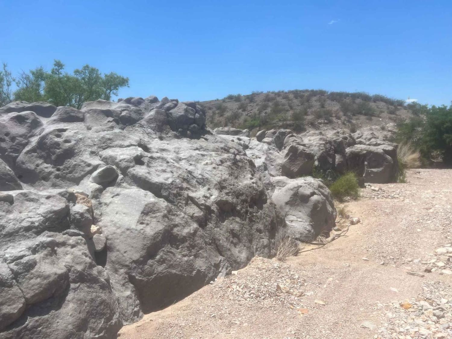
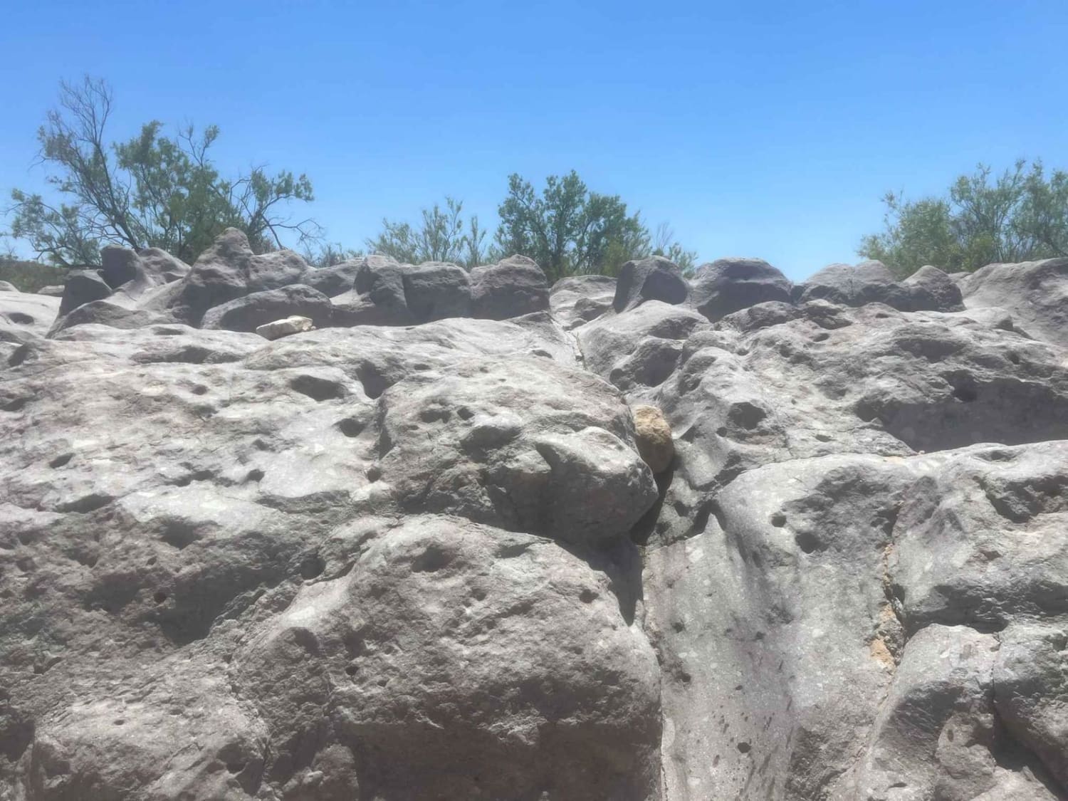
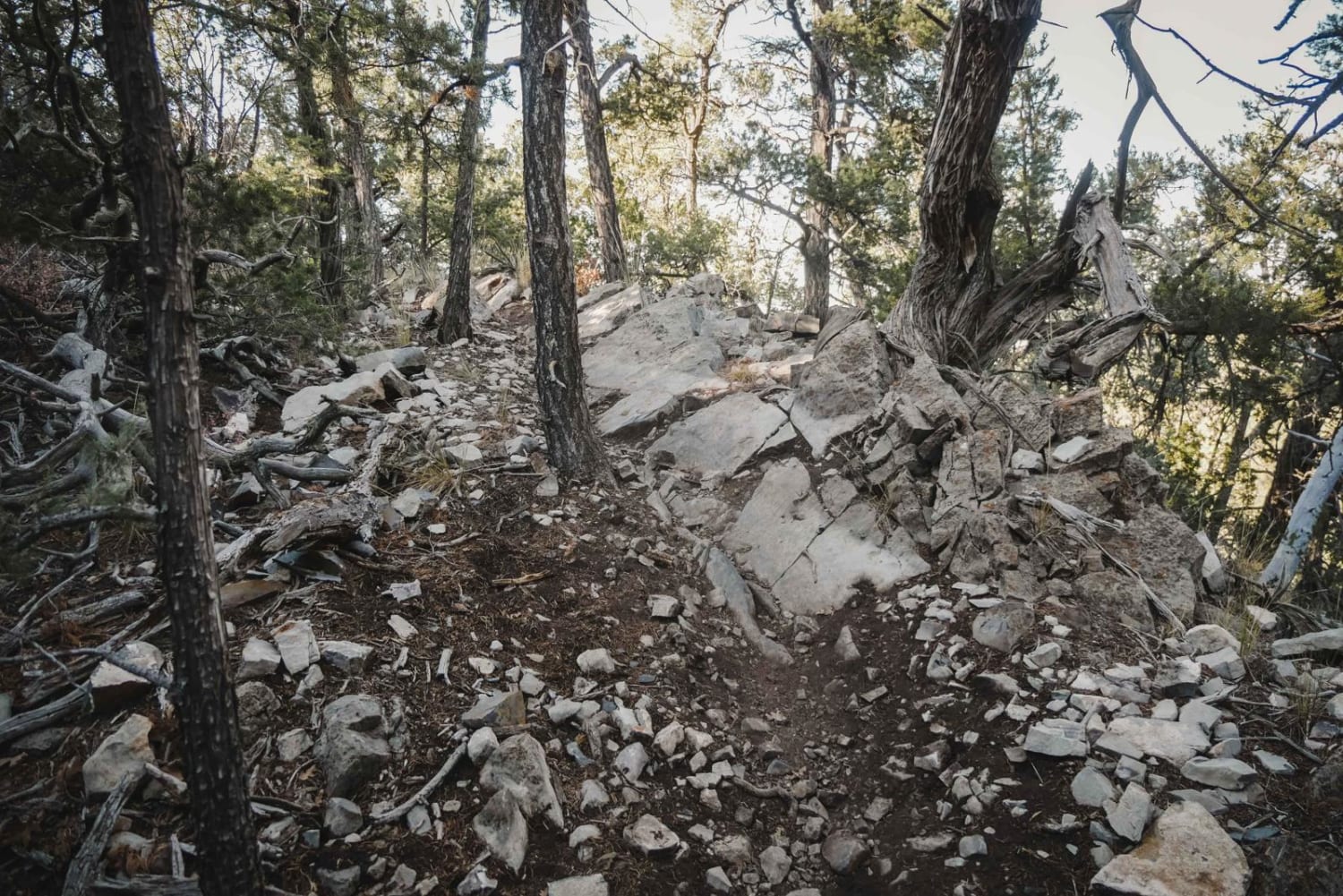
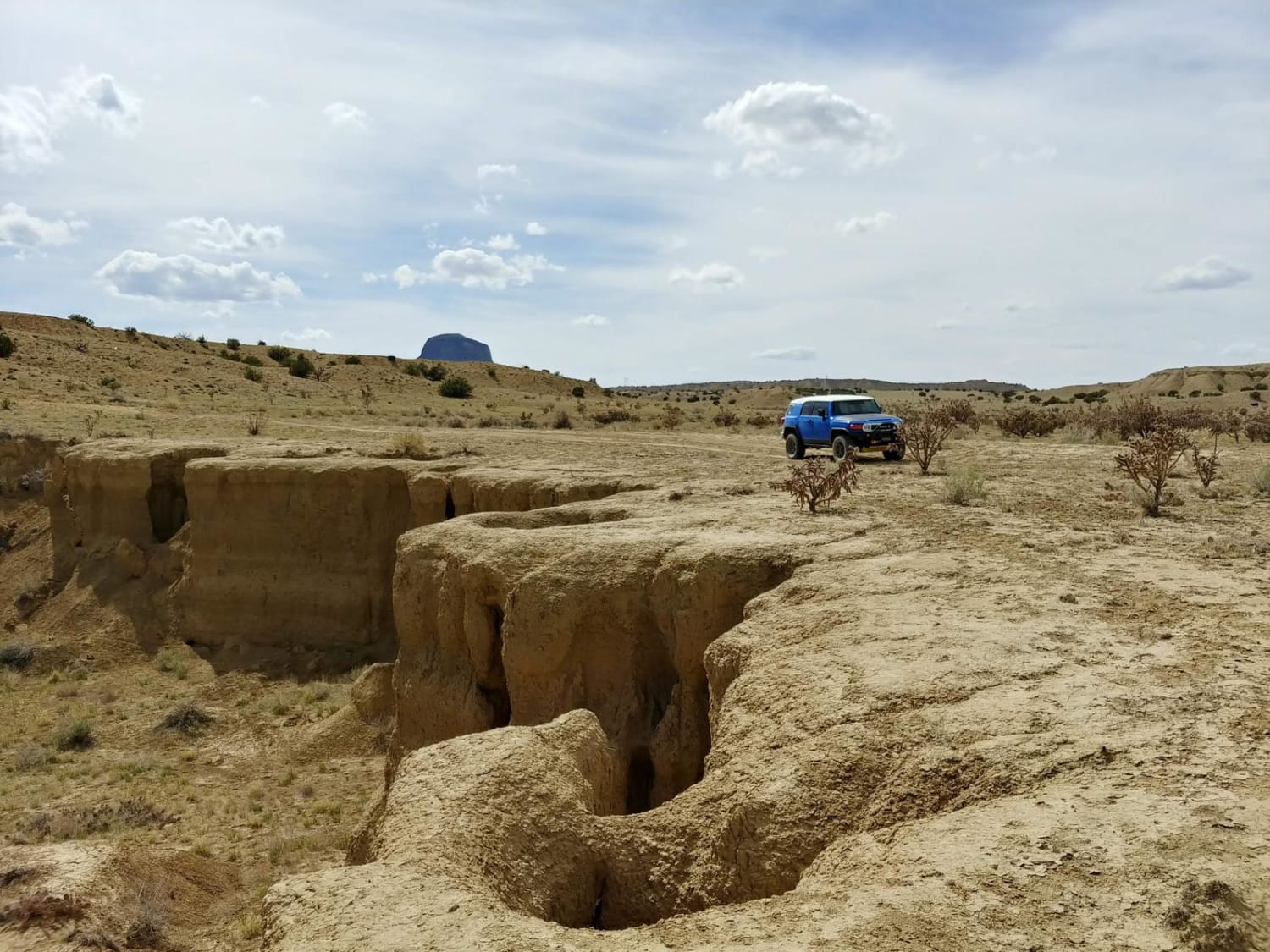
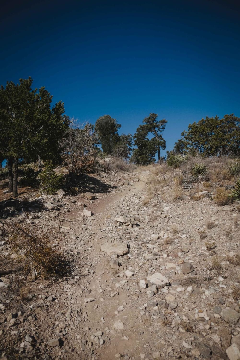
Trail Overview
This is an easy fast route through canyons and sweeping roads that cut through BLM-leased property so please practice the leave-no-trace policy and close all gates as cattle are out and roaming in these areas. Cell phone service is limited! There is some steep terrain but there are ways around it. private roads litter the end of the trail so stay on the marked BLM trail, but you can pass on the public road.
Photos of Faulkner Gap
Difficulty
Some sections that are extreme descents or ascents, several drops of 4-5 feet. One portion can be jumped by a dirtbike with a drop of 8 feet, and can be gone around on the southern side of the trail.
Status Reports
Popular Trails
Backway to Cabezon Peak
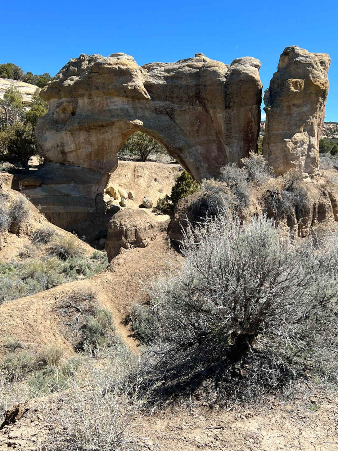
Arch and Aztec UFO Site
The onX Offroad Difference
onX Offroad combines trail photos, descriptions, difficulty ratings, width restrictions, seasonality, and more in a user-friendly interface. Available on all devices, with offline access and full compatibility with CarPlay and Android Auto. Discover what you’re missing today!