Mountain Loop
Total Miles
14.0
Elevation
719.02 ft
Duration
1 Hours
Technical Rating
Best Time
Fall, Summer
Trail Overview
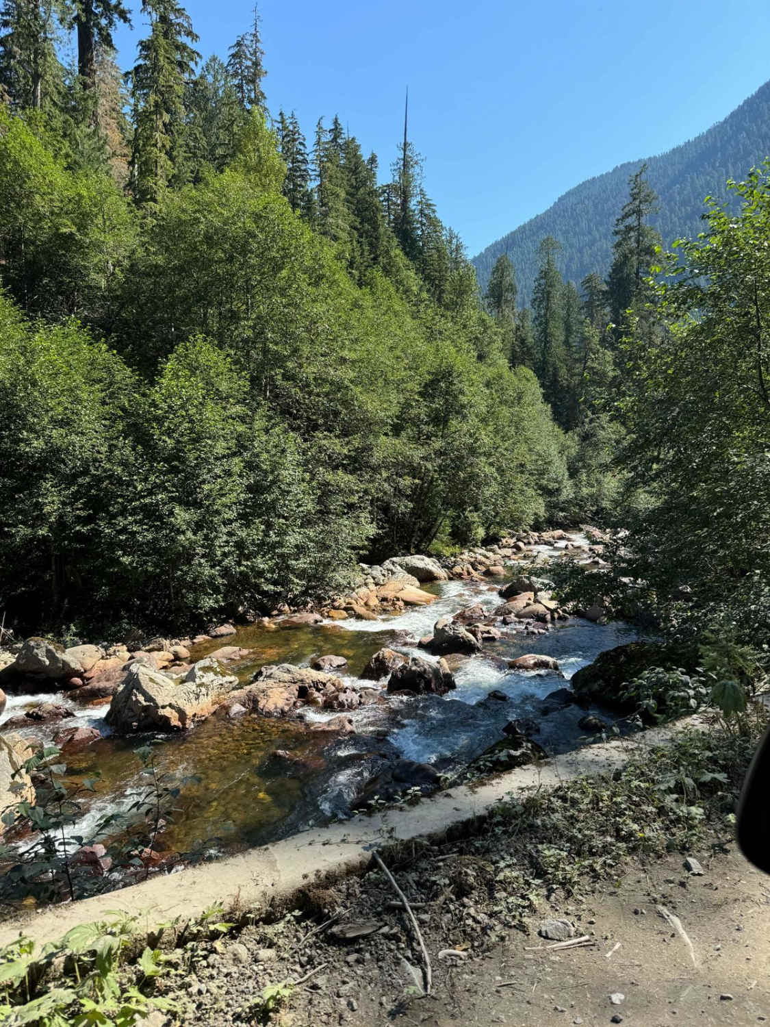
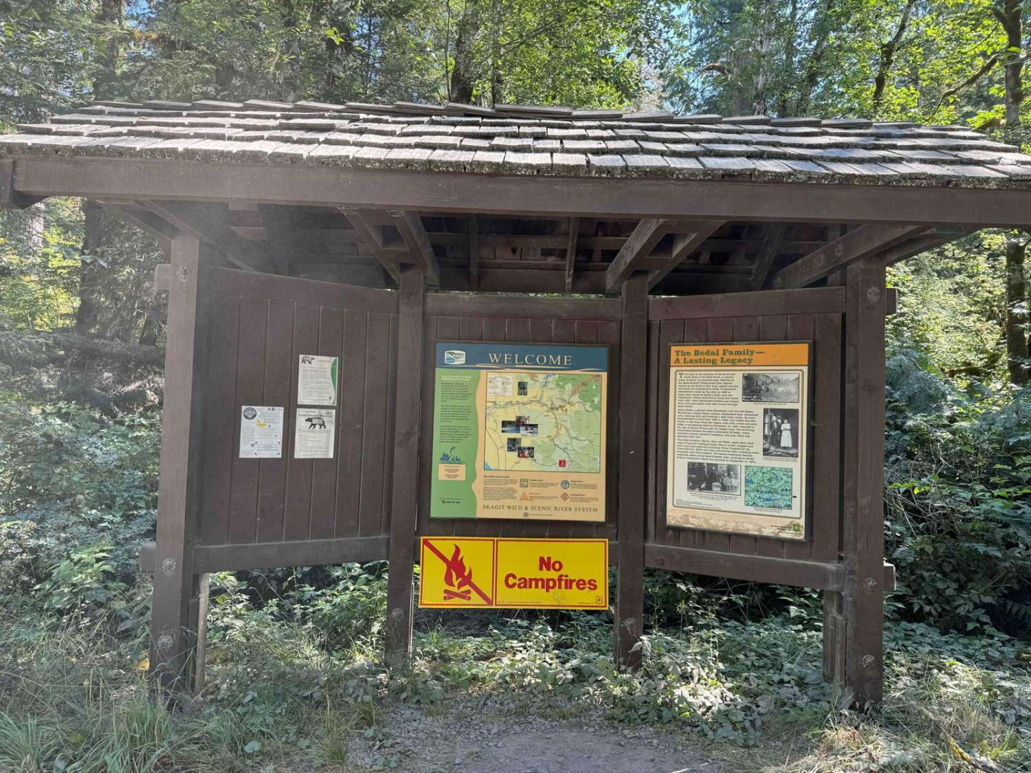
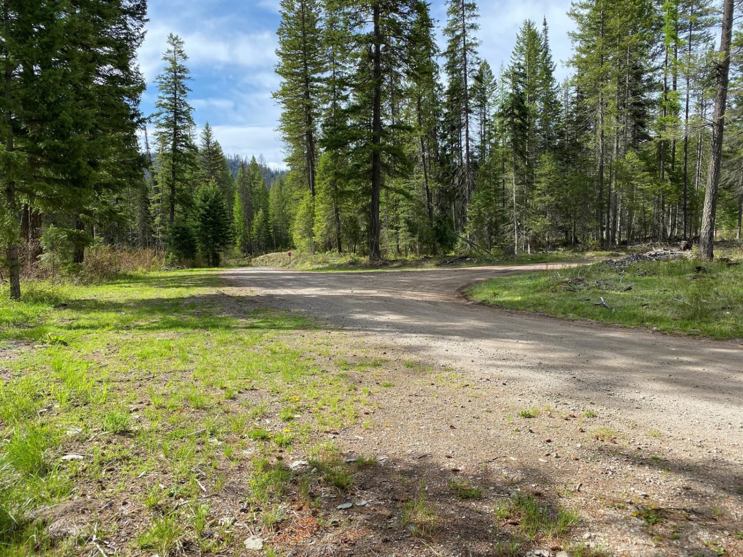
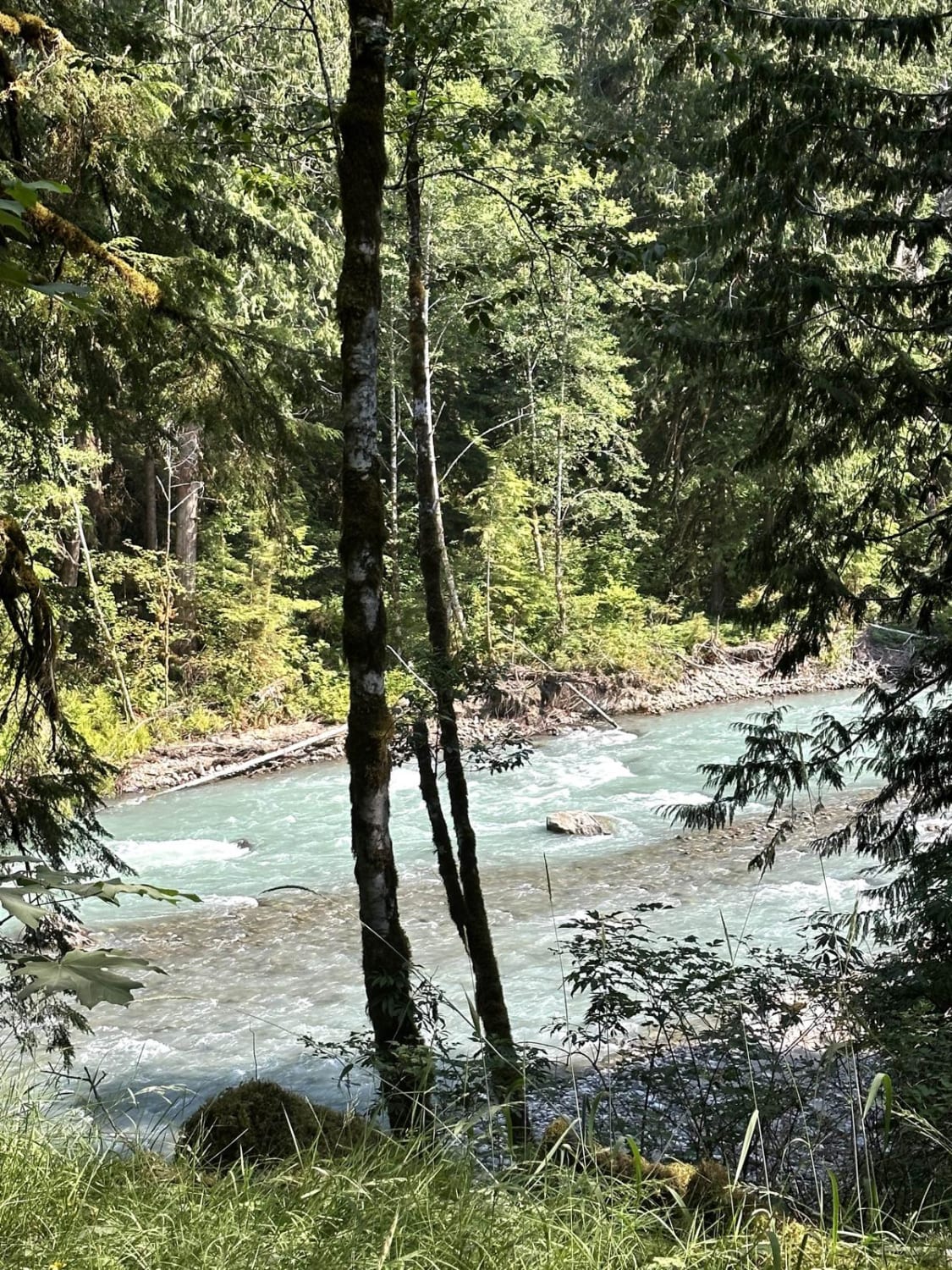
This is the famous Mountain Loop Hwy. It stretches from Granite Falls to Darrington back to Arlington. The actual trail spans a little over 13 miles and is filled with plentiful, stunning, dispersed camping spots along the river and several more prominent spots across the way. This road was closed for the longest time due to the state of the road but is now groomed fully with gravel, though the increased traffic since opening in July has started to see more potholes. The road is incredibly dusty, so keep that in mind when camping. There are several narrow locations and blind corners, which make this trail a bit dangerous due to people frequently exceeding the posted speed for this area. Service is nonexistent until the 9th mile into the gravel section, and then you have service to Darrington. It is a wondering drive.
Photos of Mountain Loop
Difficulty
This is a well groomed gravel road but with the increase traffic, more and larger potholes will continue to form. Will only be open during summer/ fall.
Status Reports
Popular Trails
Trail to Roll Cage Landslide Canyon
Nooksack River Trail

Mesatchee Creek Offroad Trail
The onX Offroad Difference
onX Offroad combines trail photos, descriptions, difficulty ratings, width restrictions, seasonality, and more in a user-friendly interface. Available on all devices, with offline access and full compatibility with CarPlay and Android Auto. Discover what you’re missing today!
