Shell Rock Road
Total Miles
5.0
Technical Rating
Best Time
Spring, Summer, Fall, Winter
Trail Type
Full-Width Road
Accessible By
Trail Overview
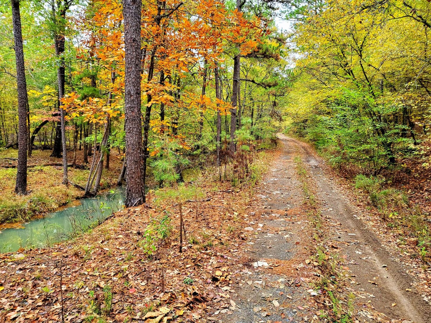
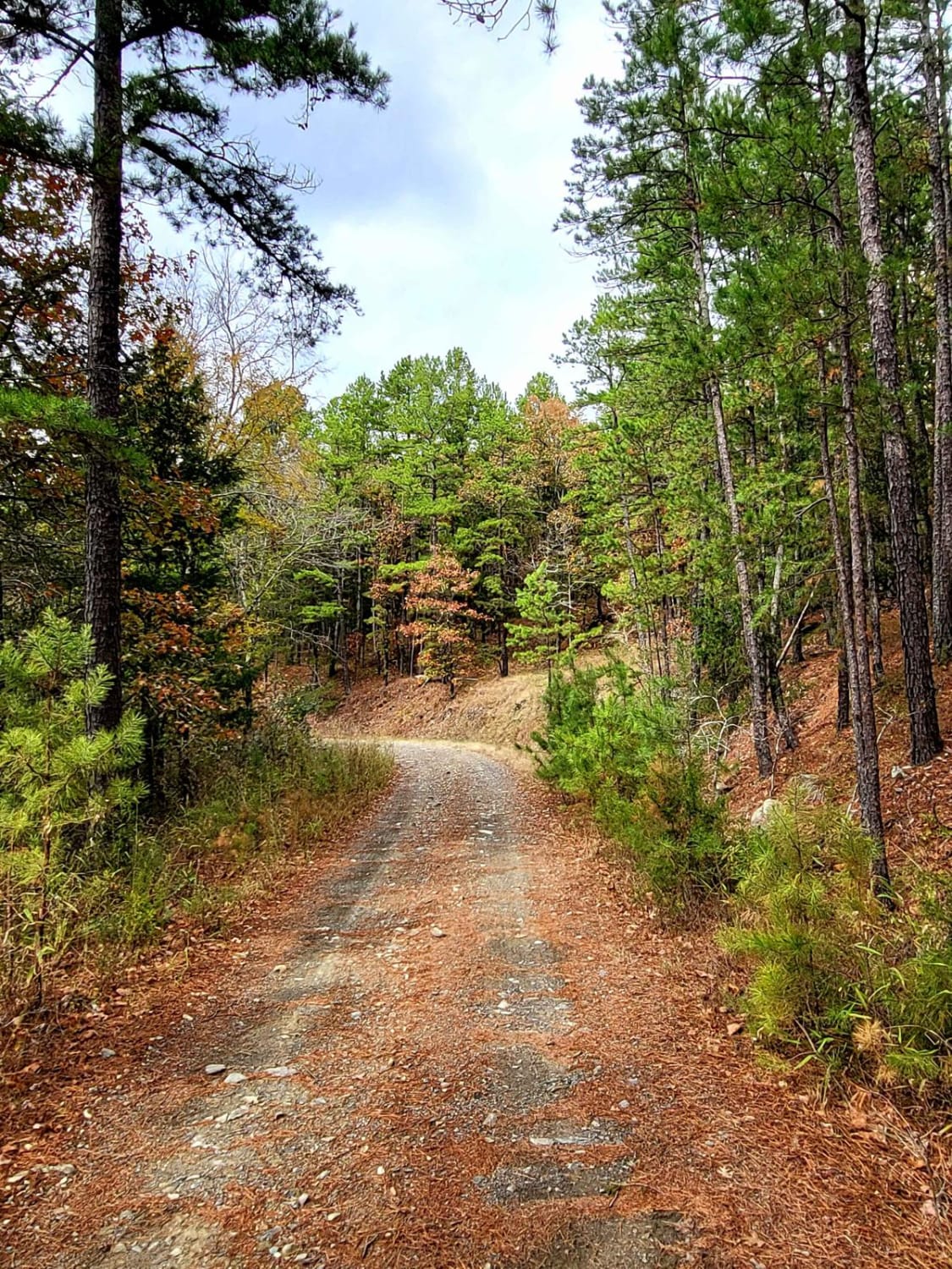
This road is mostly rock/shale/gravel Forest Service Road. It is a rough rocky road with deep shoulder drop-offs from 3' to 30' in some areas. There is Shell Rock creek that runs along it. The foliage in the fall makes for an excellent trail. Wildlife is out along this trail. The trail can be run in both directions from north to south. There are several cut-off trails along this loop. There is dispersed camping in the National Forest and be sure to check for trail closures and burn bans for the area with the National Forest services. This trail can be taken in any stock 4x4 with little concern.
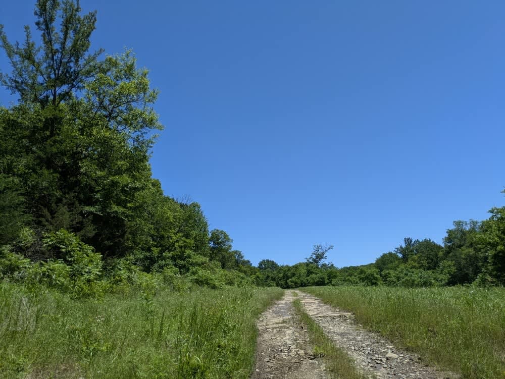
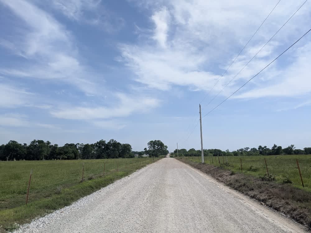
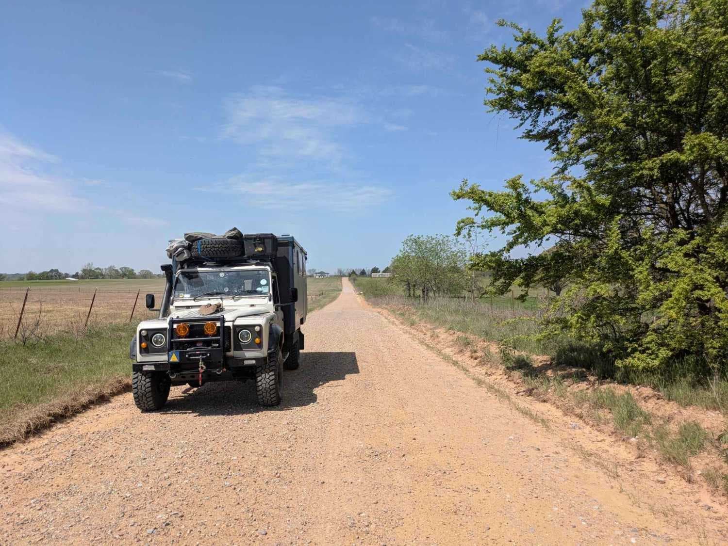
Photos of Shell Rock Road
Difficulty
Mostly Shale / Rock / Gravel. Some rocks 3" to 6" in diameter. Watch for sharp rocks to not damage a tire. Shoulder of road drop off varys as creek winds along the road. Some area it is 3' to 30' drop off of the shoulder of road. Road is narrow with a few places to pass oncoming traffic. Some pin stripping possible. Remember to stay on trail and treadlightly.
Status Reports
Shell Rock Road can be accessed by the following ride types:
- High-Clearance 4x4
- SUV
- SxS (60")
- ATV (50")
- Dirt Bike
Shell Rock Road Map
Popular Trails
Bringham Road

Gomer Pyle Loop
The onX Offroad Difference
onX Offroad combines trail photos, descriptions, difficulty ratings, width restrictions, seasonality, and more in a user-friendly interface. Available on all devices, with offline access and full compatibility with CarPlay and Android Auto. Discover what you’re missing today!
