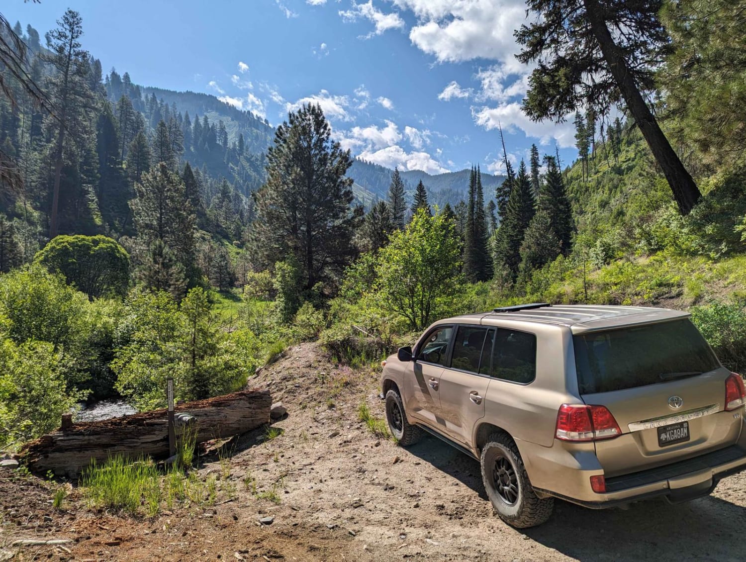
Ten Mile Creek Trail 531 (Hot Springs)
Total Miles
2.3
Elevation
1,387.09 ft
Duration
1 Hours
Technical Rating
Best Time
Spring, Summer, Fall
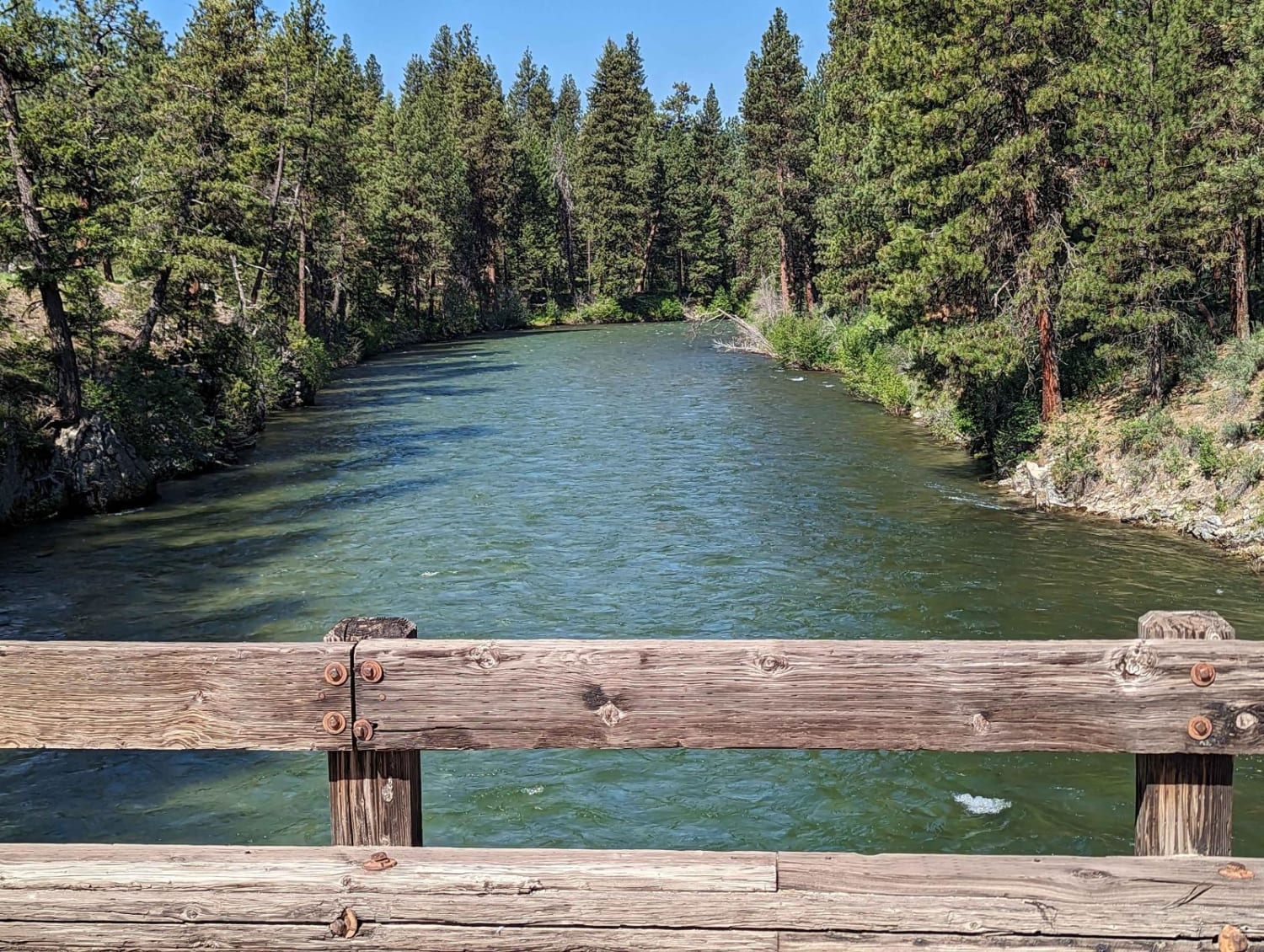
Trail Overview
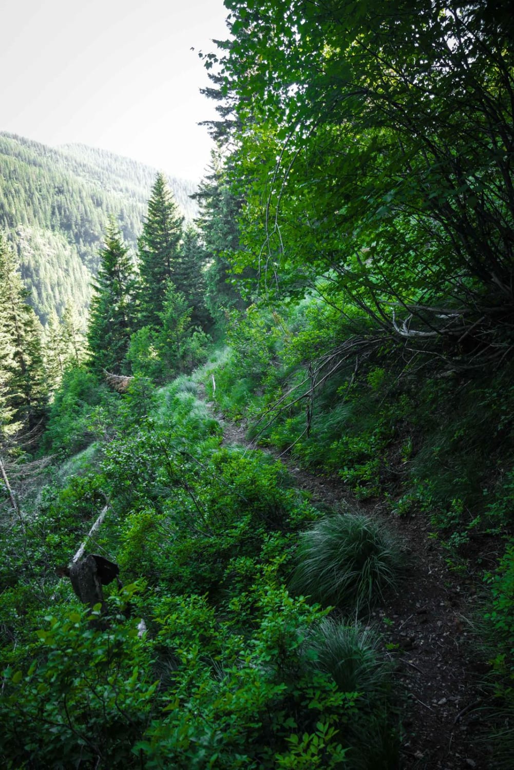
Ten Mile Creek Road starts by crossing over the South Fork Payette River. There are formal camping areas and restrooms just after crossing the river. You turn left and stay on the lesser-used track. As you ascend this easy trail you pass several more remote campsites along the smaller and quieter Ten Mile Creek. The trail gets tighter, but still wide enough to avoid pin-striping for full-sized vehicles. The trail ends at a, now closed, vehicle water crossing. This is the closest you can drive to the hot springs. From here you hike less than 2 miles up to the hot springs. Be careful in spring as the Ten Mile Creek can be deep and swift moving and you need to cross it to access the springs. No cell phone signal.
Photos of Ten Mile Creek Trail 531 (Hot Springs)
Difficulty
This is an easy trail, but beware of rocks and logs in the trail which could elevate it's difficult.
Status Reports
Popular Trails
Gleason McAbee 334
Moores Gulch

Leaton Gulch Up and Over Grouse Mountain
The onX Offroad Difference
onX Offroad combines trail photos, descriptions, difficulty ratings, width restrictions, seasonality, and more in a user-friendly interface. Available on all devices, with offline access and full compatibility with CarPlay and Android Auto. Discover what you’re missing today!