Tusher Canyon Rim
Total Miles
9.9
Elevation
1,603.25 ft
Duration
3 Hours
Technical Rating
Best Time
Spring, Summer, Fall
Trail Overview
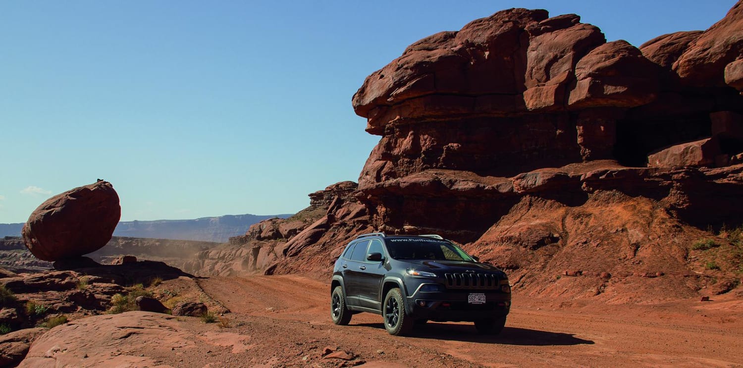
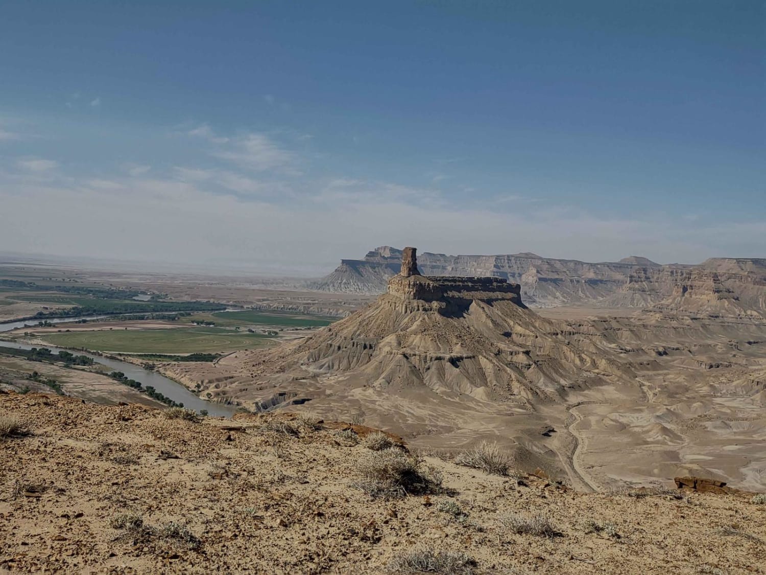
This is a dead-end 20-mile trail round-trip along the rim of the majestic Tusher Canyon. In places, the trail is rutted and there is evidence of erosion. You cross some slick rocks, and there are some off-camber areas close to the rim's edge. The canyon falls several hundred feet, so if you're afraid of heights, this may not be a good trail for you. There are lots of places to stop and take photos. On the west end of this trail, you overlook the Green River and the valley of agricultural land north of Green River, Utah. At the west end of the track, there is a narrow trail that continues for a bit further along the rim of the canyon, but beyond that, only 50-inch vehicles or less will fit.
Photos of Tusher Canyon Rim
Difficulty
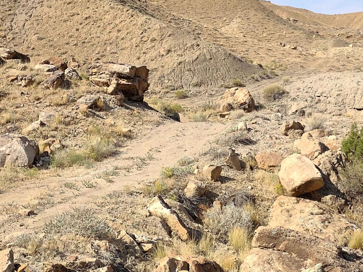
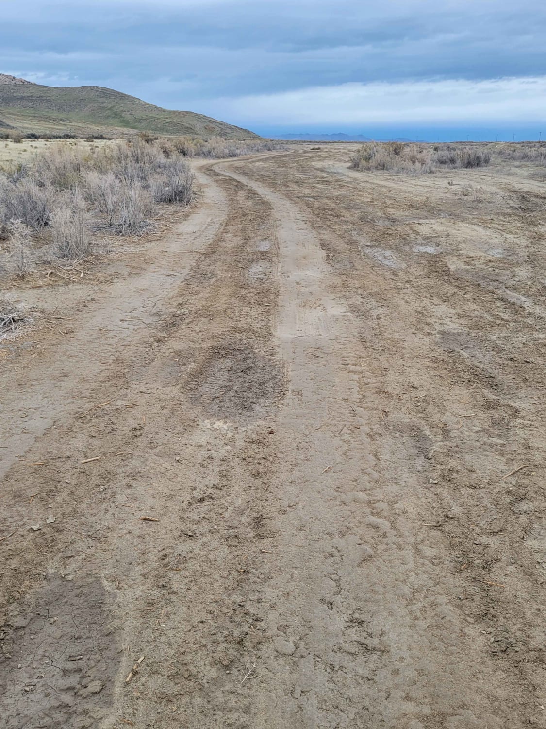
This is primarily a dirt trail, but there are some areas of slick rock. There are areas of erosion and ruts from previous rains. If it has rained recently, the trail may have some water crossings. There are off-camber areas, and in some places, they're close to the rim's edge. The canyon is several hundred feet below the rim, so if you're afraid of heights, this may not be the best trail for you. There are some rocks and some rocky inclines and declines, but overall, it's not too difficult.
Status Reports
Popular Trails

Lawson's Ledge

Potash Road, Shafer Switchbacks

Trench Machine
The onX Offroad Difference
onX Offroad combines trail photos, descriptions, difficulty ratings, width restrictions, seasonality, and more in a user-friendly interface. Available on all devices, with offline access and full compatibility with CarPlay and Android Auto. Discover what you’re missing today!


