Dove Springs Access Trail
Total Miles
5.8
Technical Rating
Best Time
Spring, Fall, Winter
Trail Type
Full-Width Road
Accessible By
Trail Overview
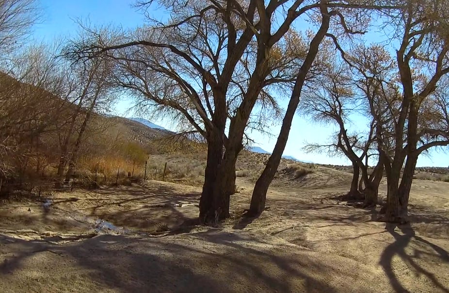
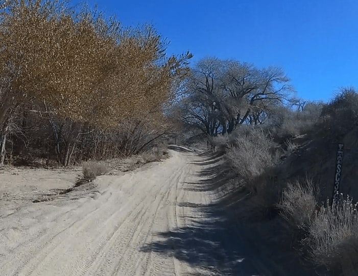
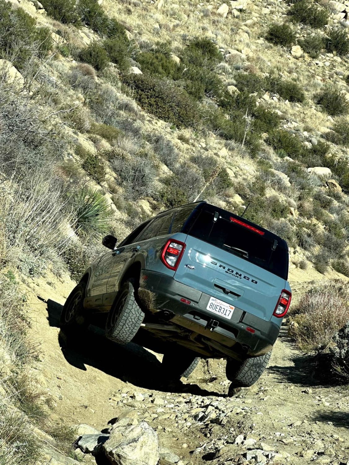
This route consists of two main trails, SC47 and SC328. The trail can be accessed on the West from Kelso Valley Road and from the East at the actual Dove Springs. My route includes the section between SC69 on the West and ends at the Actual Dove Springs. Most of this trail is a semi-soft double-wide trail that is almost all s-turns. It sits a couple of feet below the main desert floor and is lined by Yuccas on both sides. This is a very fun section of trail and because many of the turns are banked, it can be done safely at a higher speed depending on your experience and skills as a driver.
Photos of Dove Springs Access Trail
Difficulty
The trail is almost always in good shape and has few if any obstacles.
Status Reports
Popular Trails
North Main Divide Road

Big Johnson
Oriflamme Canyon Loop
The onX Offroad Difference
onX Offroad combines trail photos, descriptions, difficulty ratings, width restrictions, seasonality, and more in a user-friendly interface. Available on all devices, with offline access and full compatibility with CarPlay and Android Auto. Discover what you’re missing today!
