Tomichi Pass
Distance
16.3 mi
Technical Rating
Moderate
Best Time
Summer, Fall
Trail Type
High-Clearance 4x4 Trail
Accessible By
Trail Overview
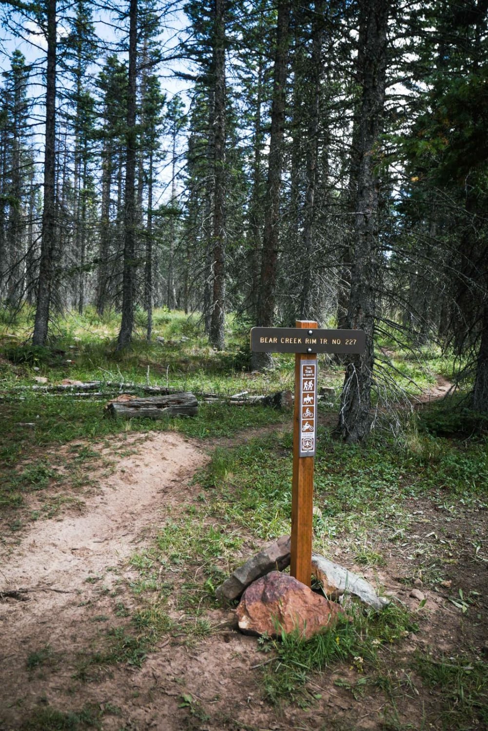
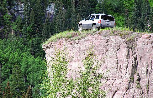
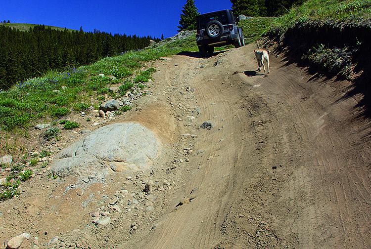
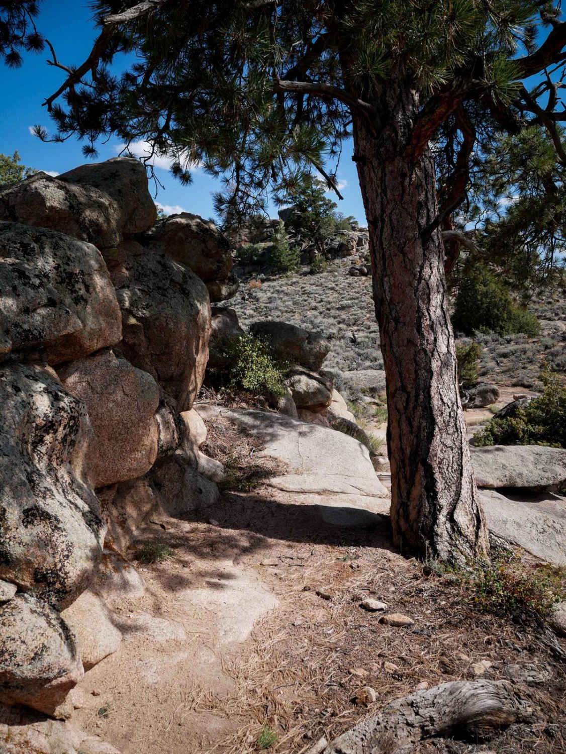
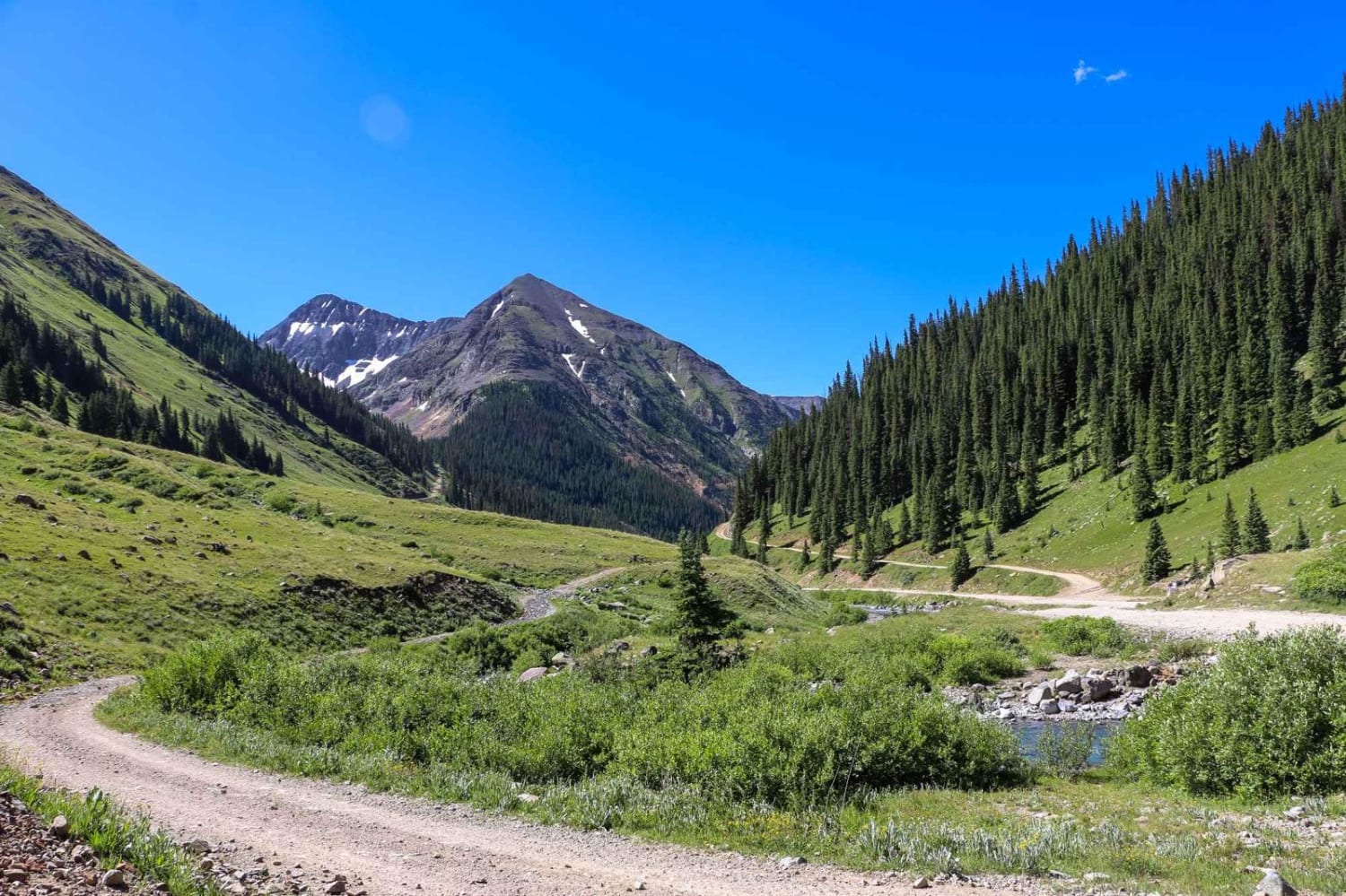
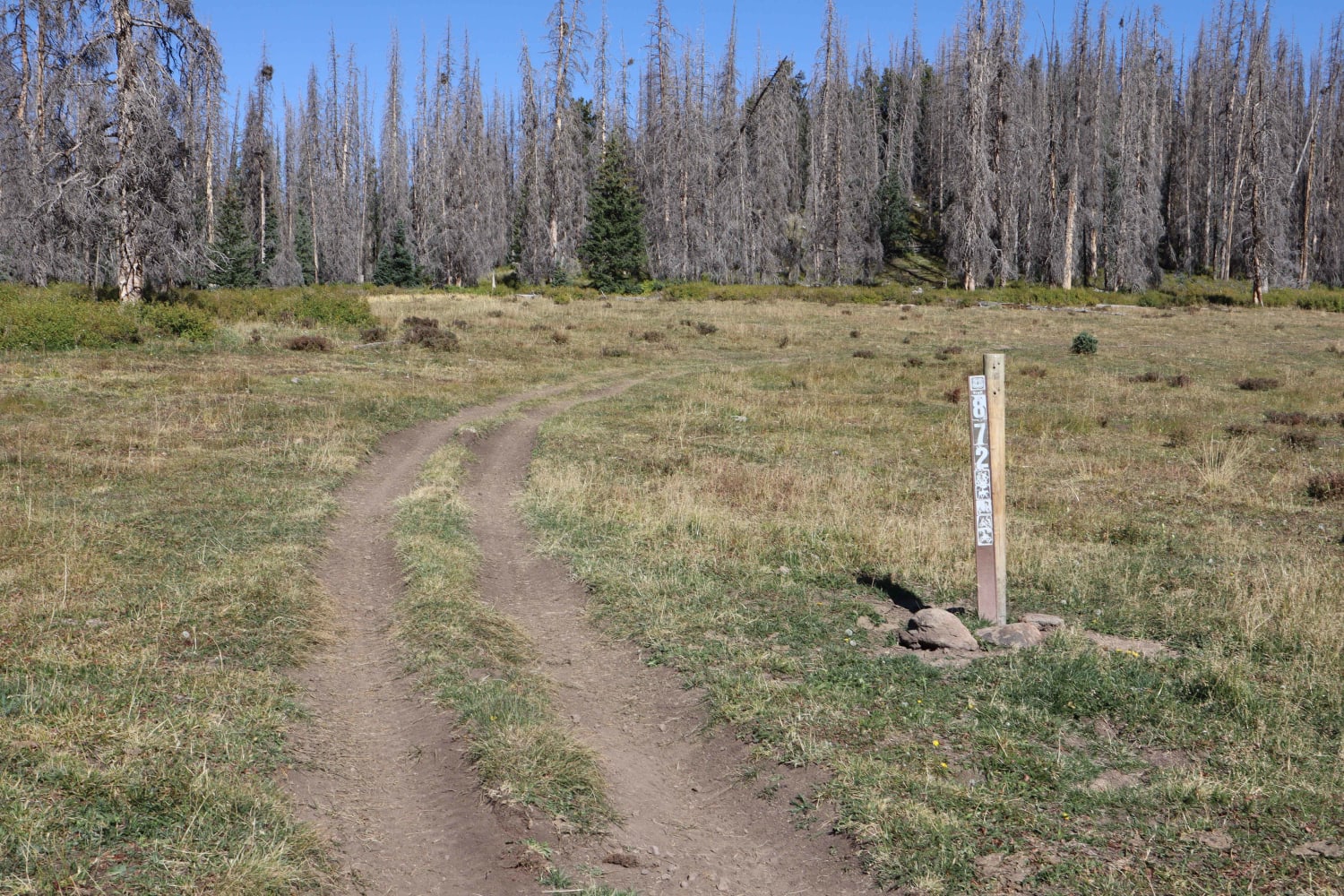
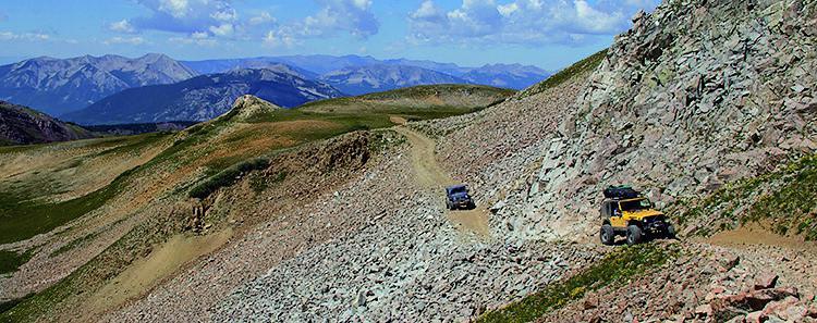
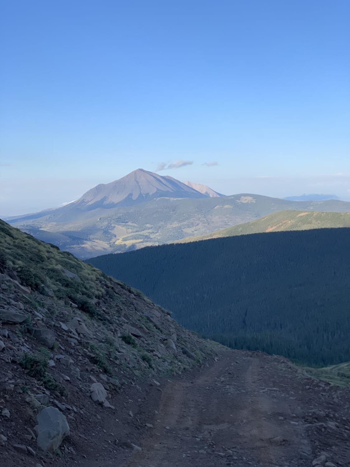
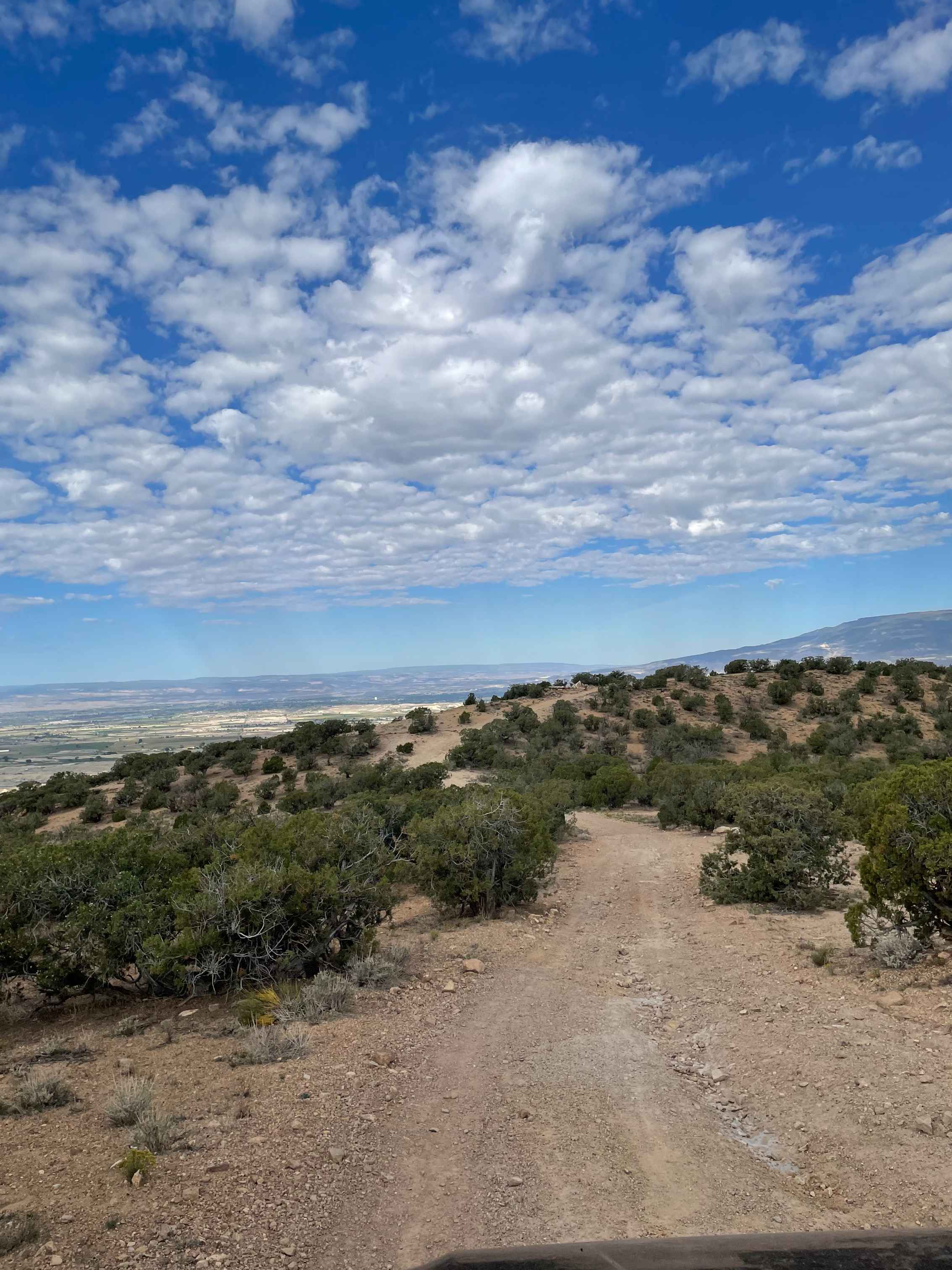
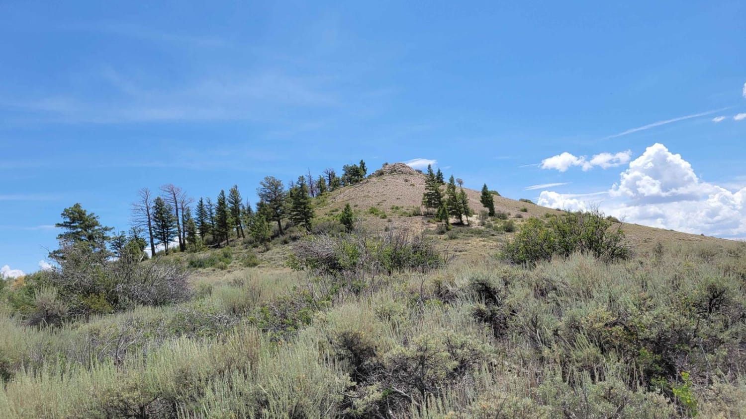
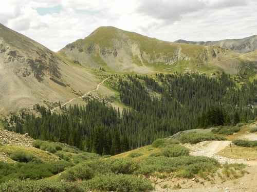
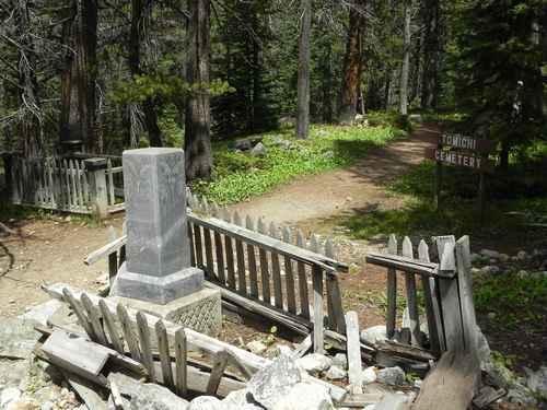
Tomichi Pass divides Middle Quartz Creek to the north from Tomichi Creek to the south. From Brittle Silver Basin at the north end, you reach the top of Tomichi Pass quickly. The 4WD road comes out of Brittle Silver Basin near a mine and heads up a narrow ledge road toward Tomichi Pass between Paywell Mountain and Central Mountain. As you climb higher past the timberline, the Jeep trail becomes a single lane. Be aware of oncoming traffic. The top of Tomichi Pass is short with very little room for vehicles. You will have a great view of the west side of Hancock Pass and Middle Quartz Creek. Continuing over the pass, the road follows a valley down to the timberline and ties in with the Tomichi Creek drainage. At the southern end of Tomichi Pass is the old Tomichi Cemetery.
Weather
Status Reports
Go Farther
Try onX Offroad Elite for free for a week — no strings attached. Get access to thousands of off-road dirt trails and snowmobile trails across the nation. View your favorite zones in 3D. Send trails to friends. Start planning the trip of a lifetime now.
Nearby Trails

West Jackson Creek Road to Hidden Valley Road