Ruen Run
Total Miles
9.9
Elevation
1,619.07 ft
Duration
0.75 Hours
Technical Rating
Best Time
Summer, Spring, Fall
Trail Overview
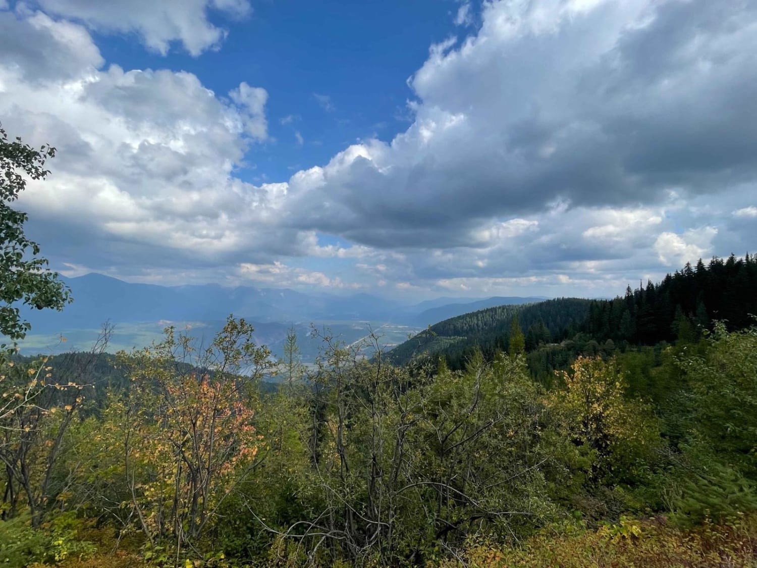
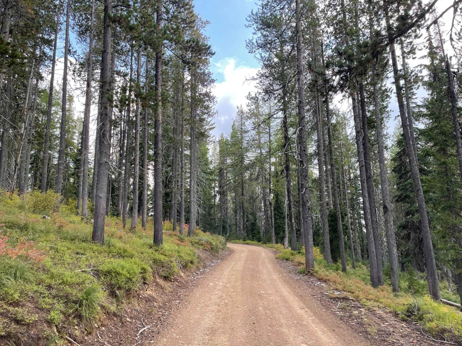
This connector trail links the upper ridge trail network to the trails below. There are plenty of tight turns and switchbacks. The occasional offshoot leads to a locked gate or a decent place to dispersed camp. The route can be rutted heavily in some sections, massive potholes full of mud in others, and a few significant dips scattered around for good measure. Some sections also get pretty narrow, with a decent way between pullouts. Oncoming traffic may have to reverse to pass. There is no cell service in this area.
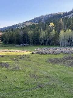
Photos of Ruen Run
Difficulty
Large potholes, Violent washboard, and a few deeper G out spots.
Status Reports
Popular Trails

Hay Knapp Creek (South)
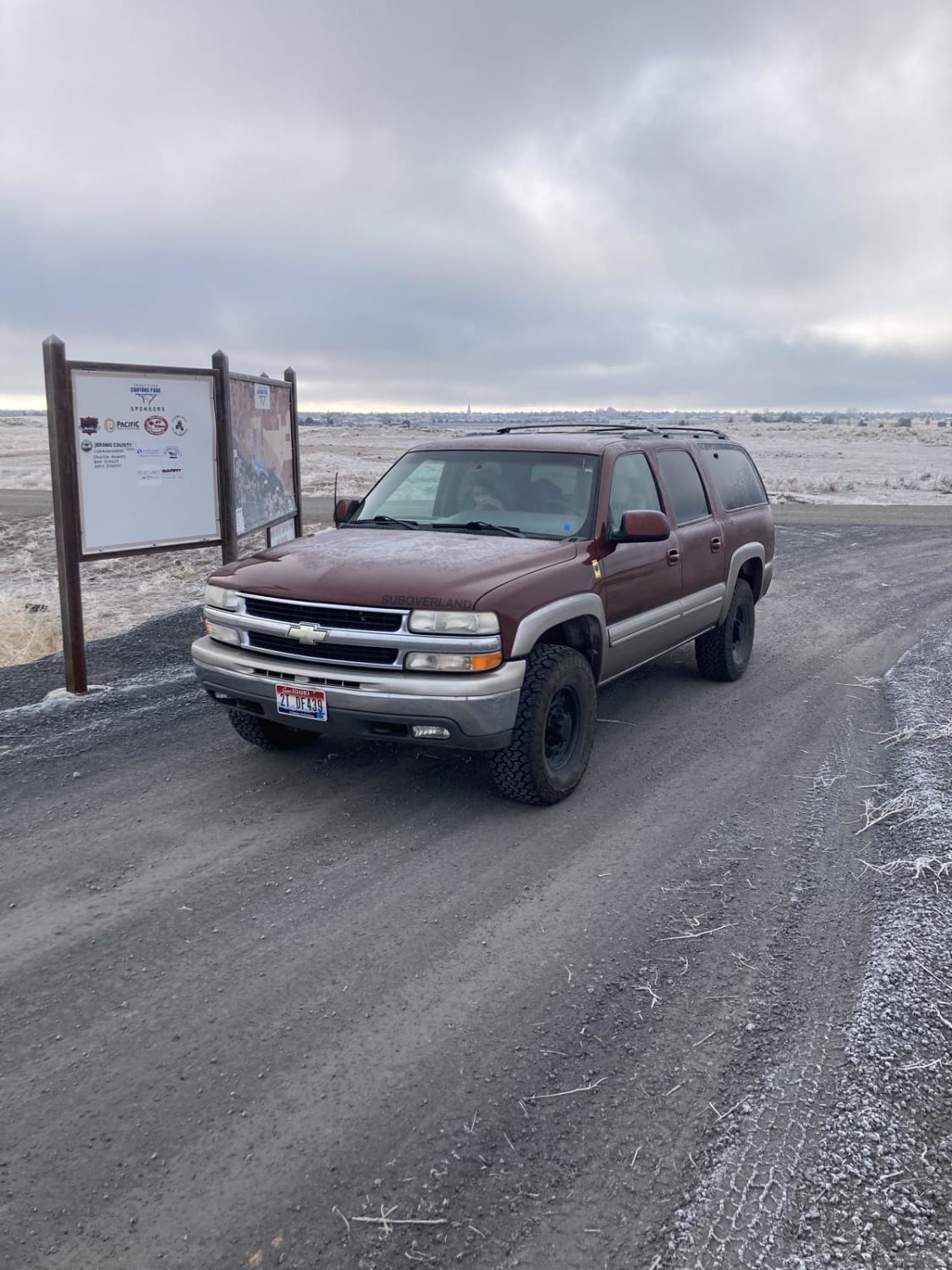
North Rim - Jerome
North Fork River Road
The onX Offroad Difference
onX Offroad combines trail photos, descriptions, difficulty ratings, width restrictions, seasonality, and more in a user-friendly interface. Available on all devices, with offline access and full compatibility with CarPlay and Android Auto. Discover what you’re missing today!
