Last Chance Canyon
Total Miles
16.9
Technical Rating
Best Time
Winter, Spring, Summer, Fall
Trail Type
Full-Width Road
Accessible By
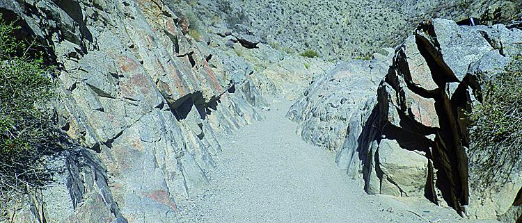
Trail Overview
This alternate way to Bickel Camp and Burro Schmidt Tunnel offers more challenges than Bonanza Gulch, Trail #55. Towering red buttes surround the canyon as you pass through Cudahy Camp and continue north. Don't miss the interesting dugout west of the camp. The area is open to green sticker vehicles, but you must stay on designated routes at all times. There is no camping in Red Rock Canyon State Park.
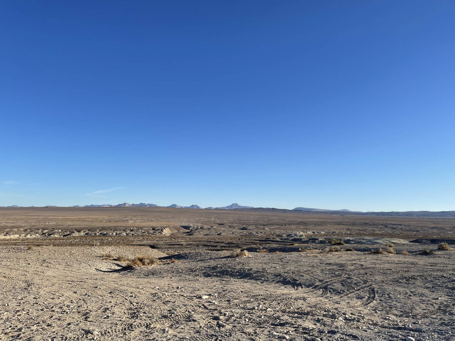
Photos of Last Chance Canyon
Difficulty
Moderate: One spot, we call the V-slot, is very narrow and will challenge wider vehicles. A bypass is only slightly easier. Stock, high-clearance, 4x4 SUVs can manage this trail with an experienced driver. Be aware of the possibility of flash floods.
History
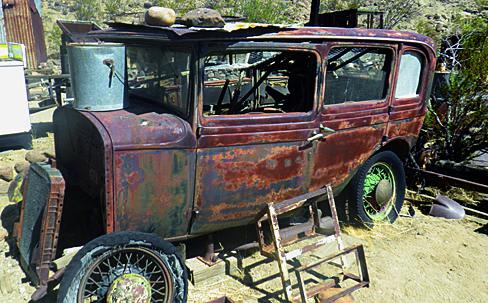
Dubbed the 'human mole' by Time Magazine in the 1940s, William 'Burro' Schmidt spent 38 years digging his half-mile-long tunnel. He operated it as a tourist attraction until his death in 1954. During our first visit in 2002, we met a 90-year-old woman, Tonie Seger, who was still living in the main cabin. Artifacts were everywhere. Today, nothing remains but bare cabins (see photos).
Status Reports

Popular Trails
Horse Canyon Trail 17E21

Truckhaven Trail Side Loop
South Coast Road
Pinnacles to Spangler Hills OHV Area
The onX Offroad Difference
onX Offroad combines trail photos, descriptions, difficulty ratings, width restrictions, seasonality, and more in a user-friendly interface. Available on all devices, with offline access and full compatibility with CarPlay and Android Auto. Discover what you’re missing today!