1947 Bunker Trail
Total Miles
6.5
Technical Rating
Best Time
Summer, Fall
Trail Type
High-Clearance 4x4 Trail
Accessible By
Trail Overview
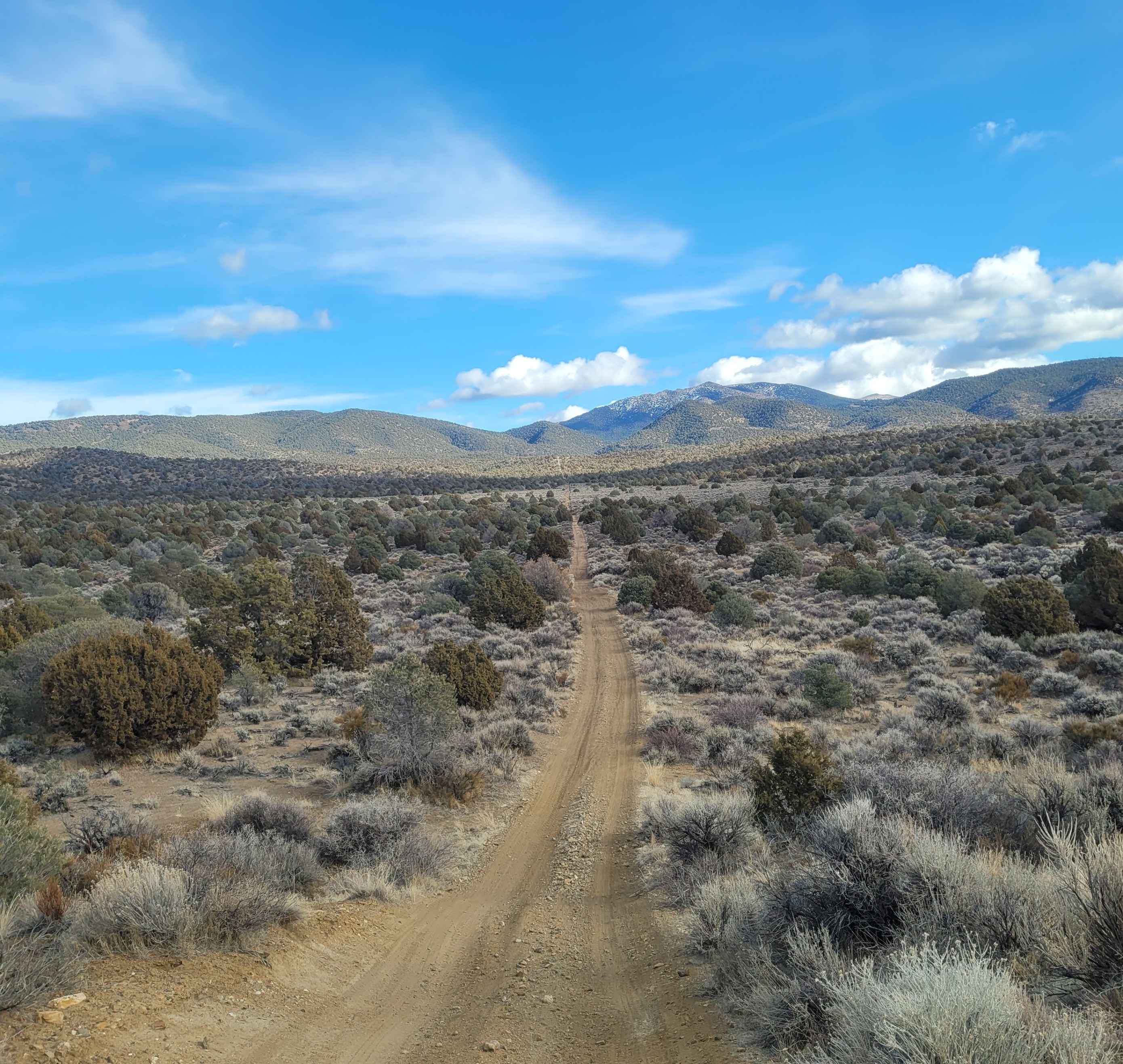
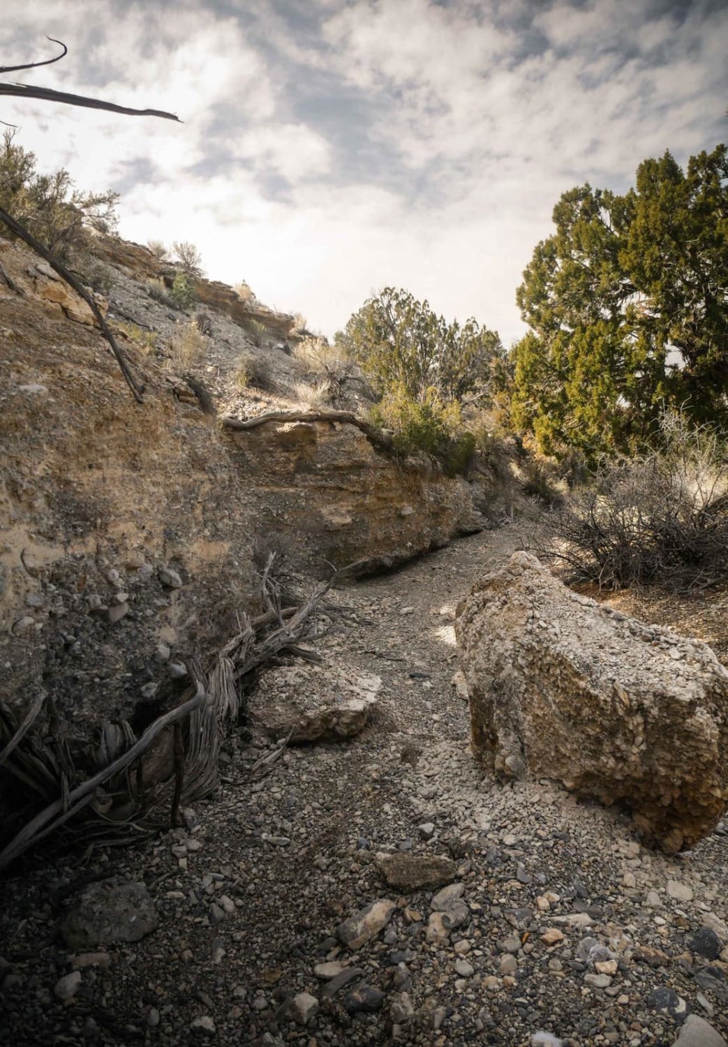
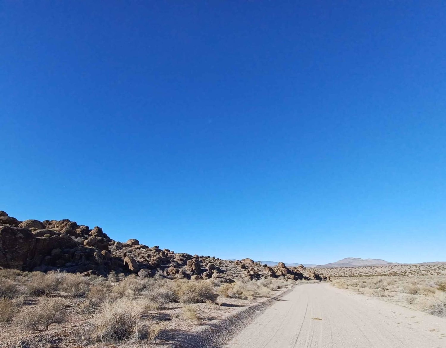
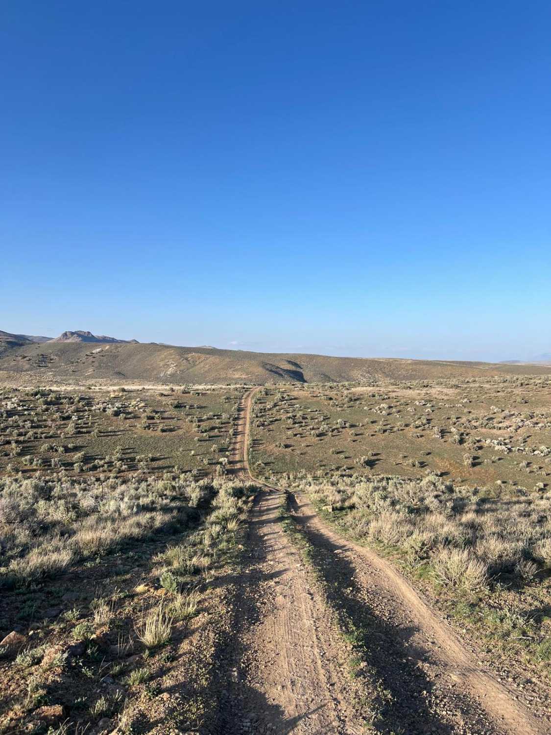
This trail starts off on a wide graded dirt road. Then turning Northeast you proceed up a narrow double track trail. This portion of the trail ascends up a flat topped ridge which is lined with Juniper trees. There are several small arroyos to cross along the way. The arroyos are usually dry, but can have water from snow melt or rain. The concrete 1947 Bunker is located about half way up this trail at: 39.07817 - 119.63224. This double track trail is suited for off highway and 4WD high clearance vehicles. Not recommended for 2WD or 4WD cars.
Photos of 1947 Bunker Trail

Difficulty
Dirt, sand and rocky road, steep in several places with 12" obstacles. Trail is unmaintained after rain or snow. The road is double track one way traffic. A few tall stones and obstacles under 6" can be easily avoided. The road is rutted and elevation changes are steep with no ledges.
History
Mining exploration and operations from the late 1800's.
Status Reports
1947 Bunker Trail can be accessed by the following ride types:
- High-Clearance 4x4
- SxS (60")
- ATV (50")
- Dirt Bike
1947 Bunker Trail Map
Popular Trails
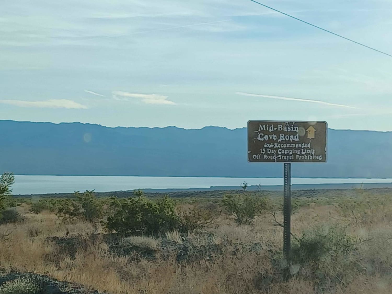
Mid Basin Cove
Middle Elk Meadow Connector Trail
Joe Higbee Road
North 5th Street Side Connector
The onX Offroad Difference
onX Offroad combines trail photos, descriptions, difficulty ratings, width restrictions, seasonality, and more in a user-friendly interface. Available on all devices, with offline access and full compatibility with CarPlay and Android Auto. Discover what you’re missing today!