Gemini Bridges
Total Miles
13.1
Technical Rating
Best Time
Spring, Summer, Fall
Trail Type
Full-Width Road
Accessible By
Trail Overview
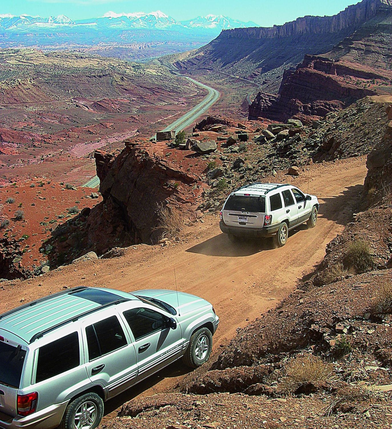
You may run into mountain bikers on this popular trail, so make sure to minimize dust. This high, curvy shelf road provides beautiful views and easy pitstops to hike to view the tops of the bridges. If you want to see the bridges from the bottom, you'll use Bull Canyon Trail. You may camp in designated sites, but be sure to carry and use a portable toilet.
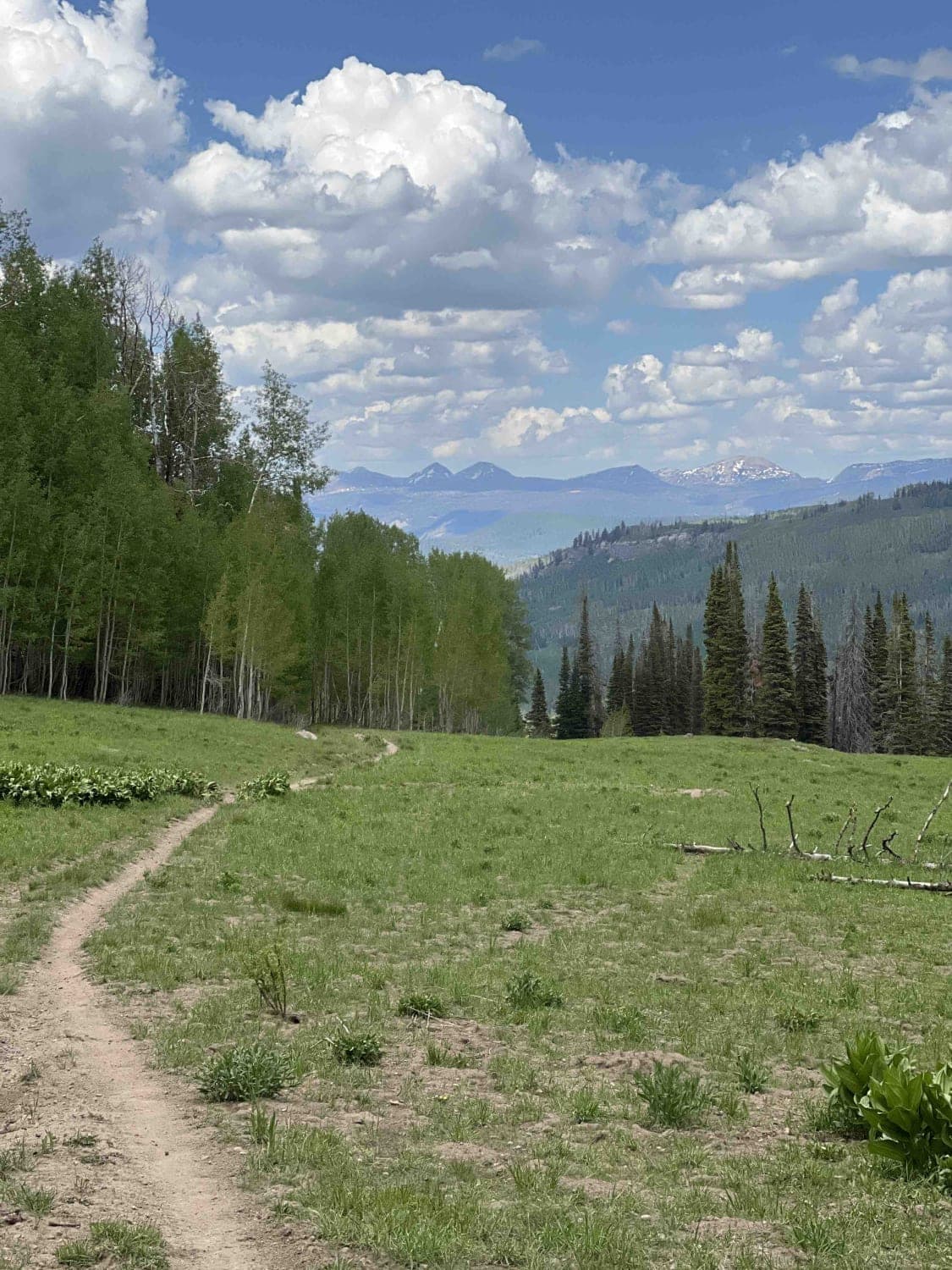
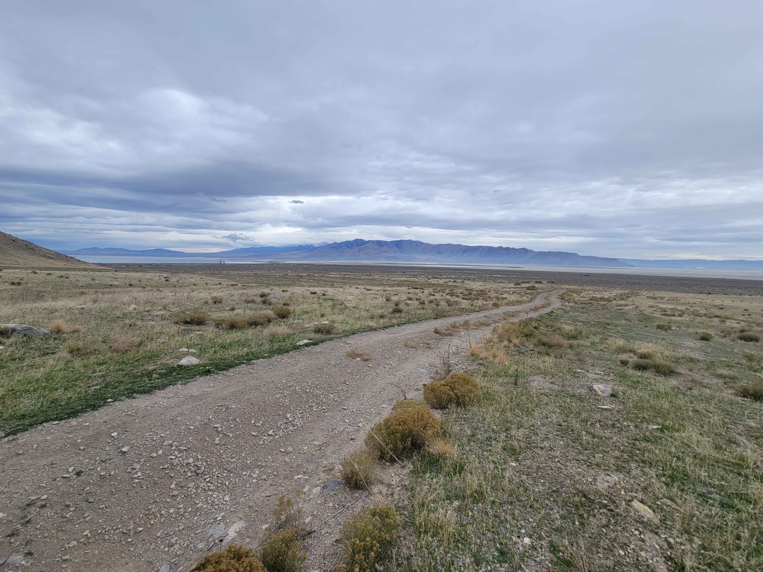
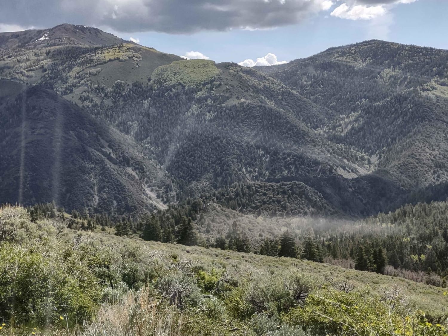
Photos of Gemini Bridges
Difficulty
Easy. Minor embedded rock and possible washouts after storms. Suitable for most moderate clearance SUVs. Possible large new roads for drilling activity may be confusing.
History
At least two people have fallen to their deaths attempting to jump the 6 to 10 ft. gap between the two arches. In 1999 a 19-year-old lost his life when he fell 160 feet in his Jeep as he tried to drive across the outer span. You can no longer drive down to the arches. Source: Climb-Utah.com.
Status Reports
Popular Trails

Little South Fork Trail

Tabby's Canyon

Antelope/Honeymoon Trail (North)

FS #41185 Extension (50" Trail)
The onX Offroad Difference
onX Offroad combines trail photos, descriptions, difficulty ratings, width restrictions, seasonality, and more in a user-friendly interface. Available on all devices, with offline access and full compatibility with CarPlay and Android Auto. Discover what you’re missing today!


