West Cedar Mountain Route 4
Total Miles
1.3
Elevation
1,723.38 ft
Duration
0.5 Hours
Technical Rating
Best Time
Summer, Fall, Spring
Trail Overview
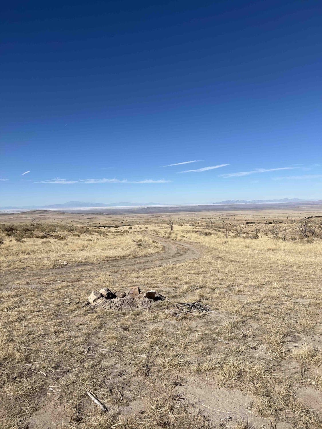
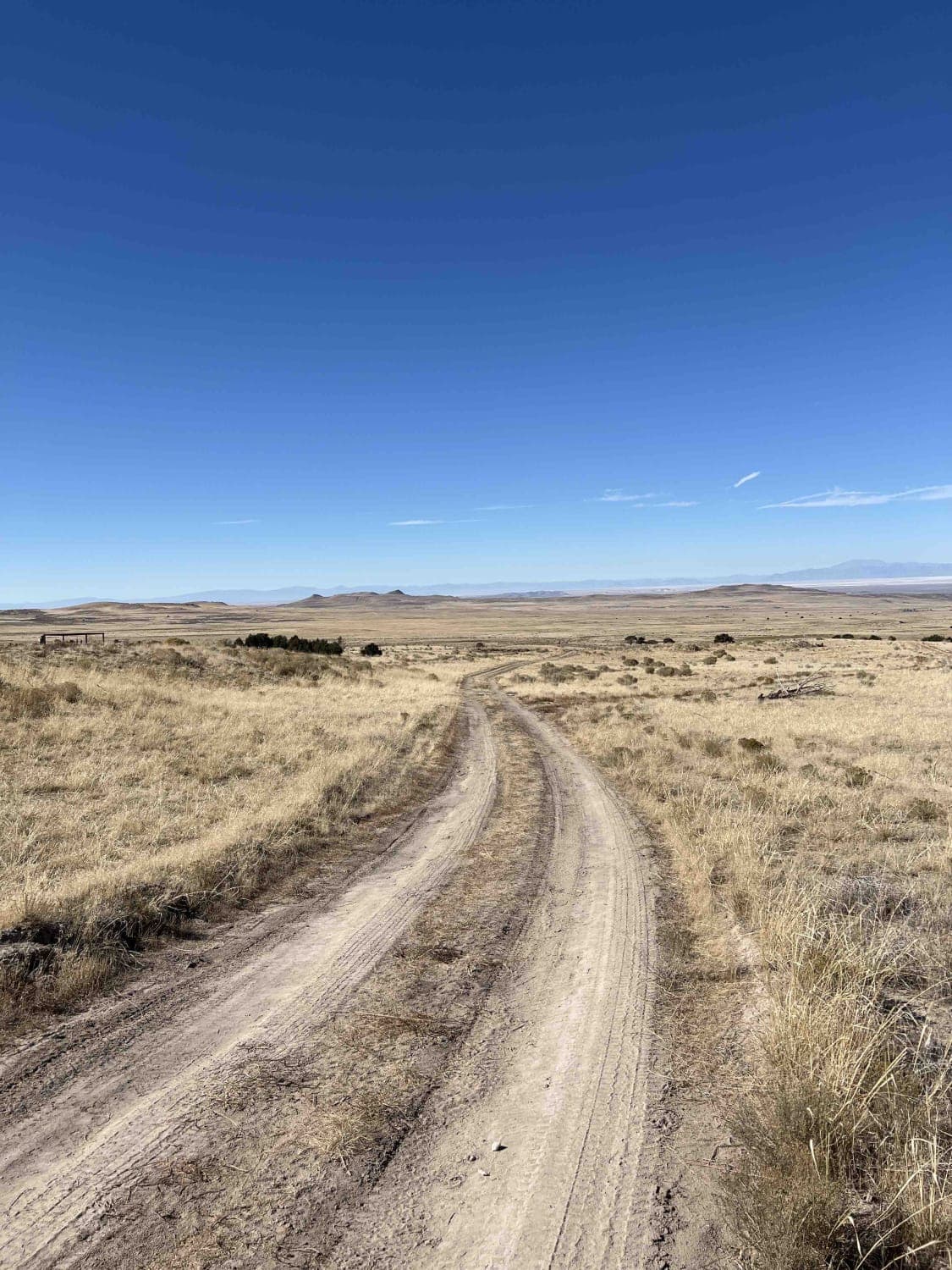
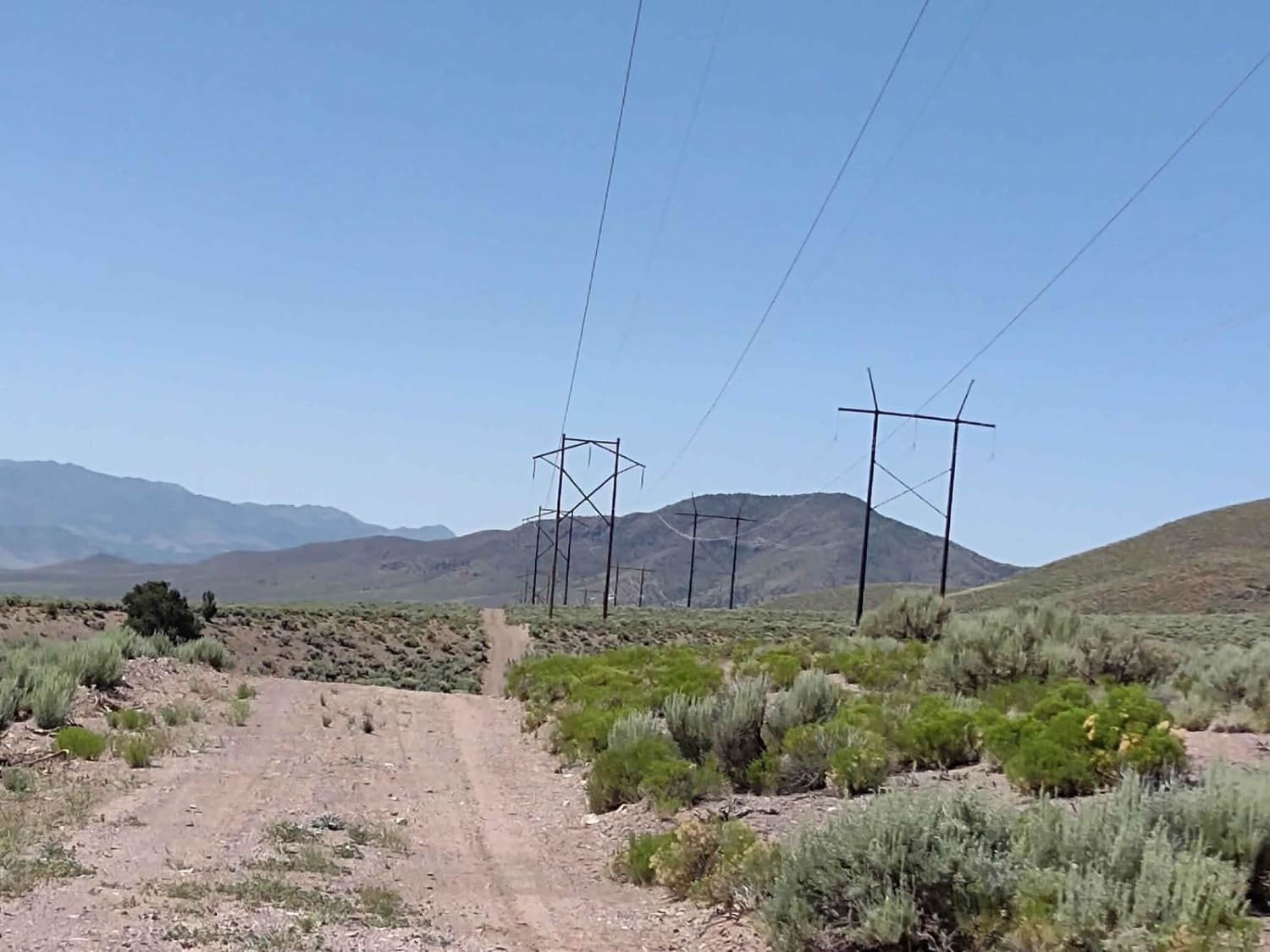
This is a relatively easy off-road trail that breaks off from Cedar Mountain Road, toward the East. The trail starts off mostly dirt and turns into sand as it winds up one of the ridges on the Western side of the Cedar Mountain Range. There are several pump stations along the route. It ends at a turnaround with a campsite and fire pit.
Photos of West Cedar Mountain Route 4
Difficulty
This trail may be difficult without 4-wheel drive due to the sandy sections.
Status Reports
Popular Trails
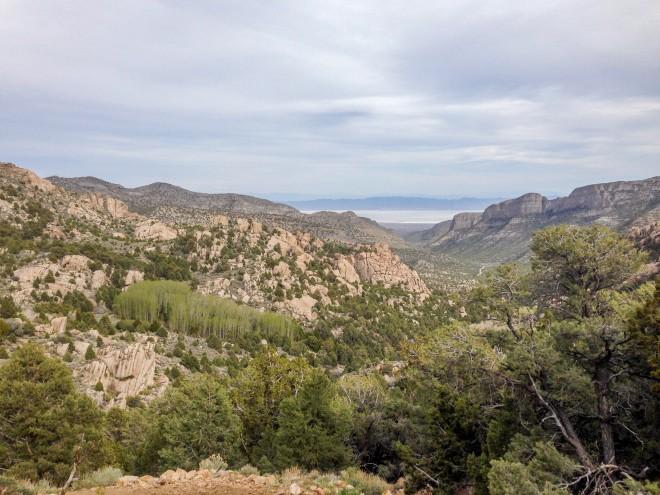
Notch Peak Overlook and Amasa Basin
Powerline Trail

Parker Mountain Trail (PMT) 14 to PMT 15
The onX Offroad Difference
onX Offroad combines trail photos, descriptions, difficulty ratings, width restrictions, seasonality, and more in a user-friendly interface. Available on all devices, with offline access and full compatibility with CarPlay and Android Auto. Discover what you’re missing today!
