Wallace Canyon Road
Total Miles
6.7
Elevation
2,447.14 ft
Duration
--
Technical Rating
Best Time
Spring, Summer, Fall, Winter
Trail Overview
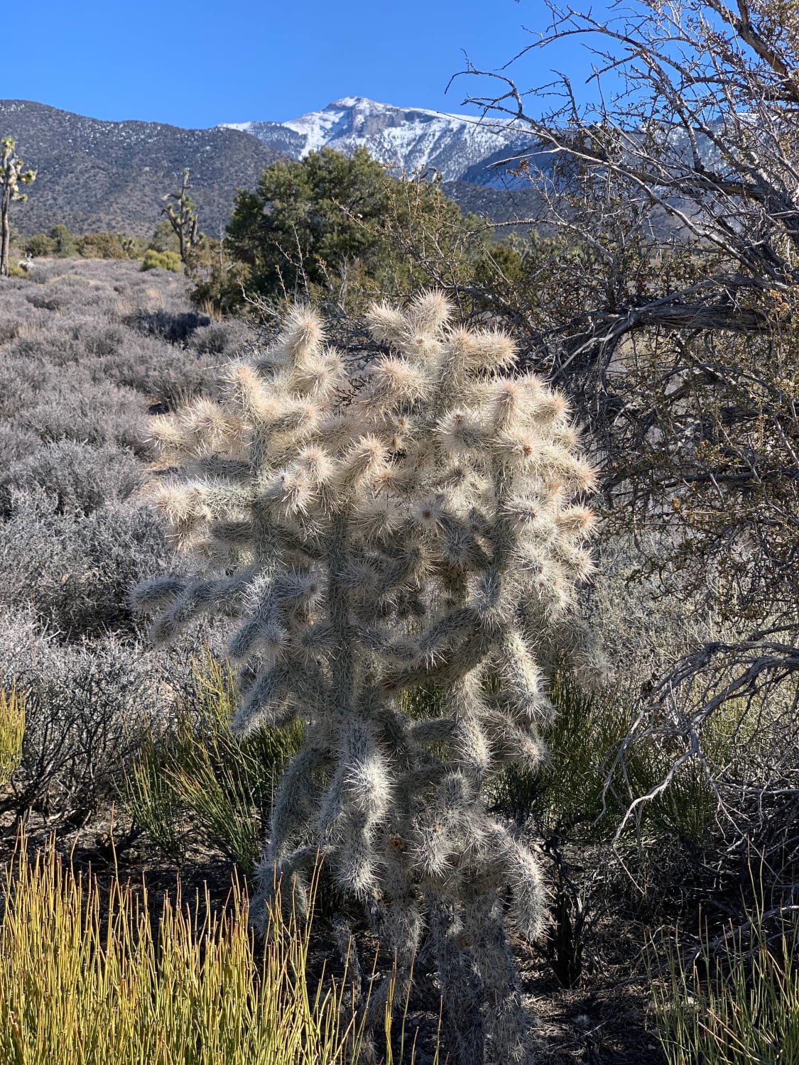
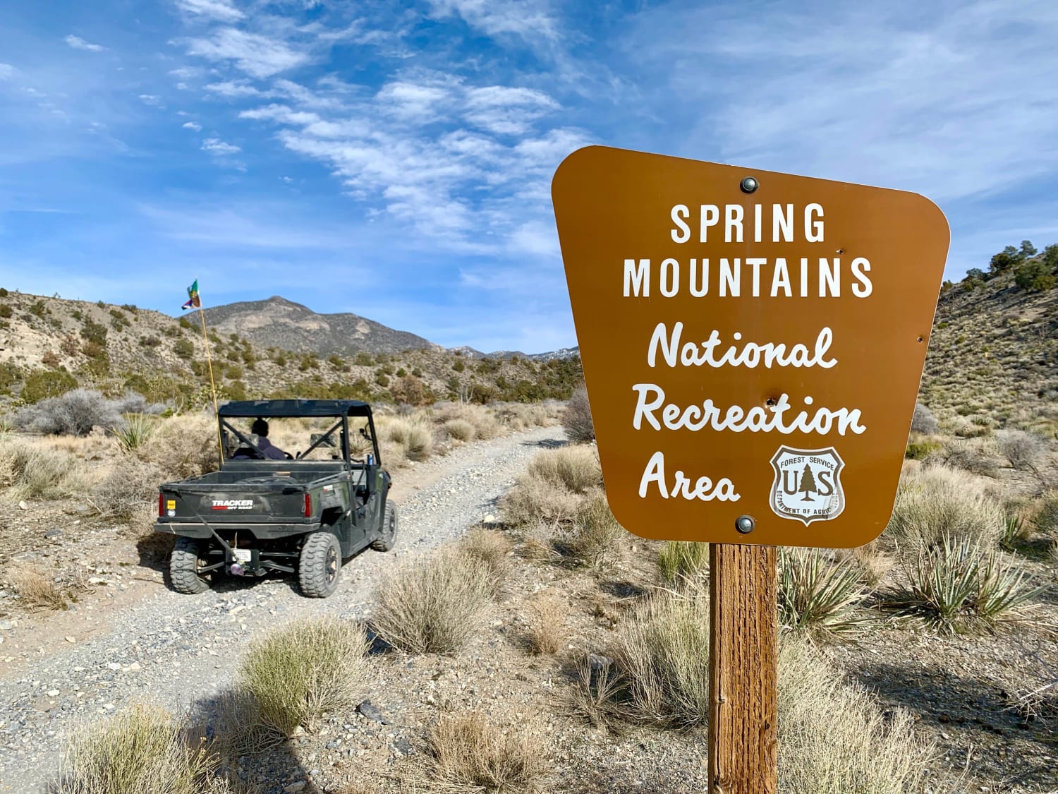
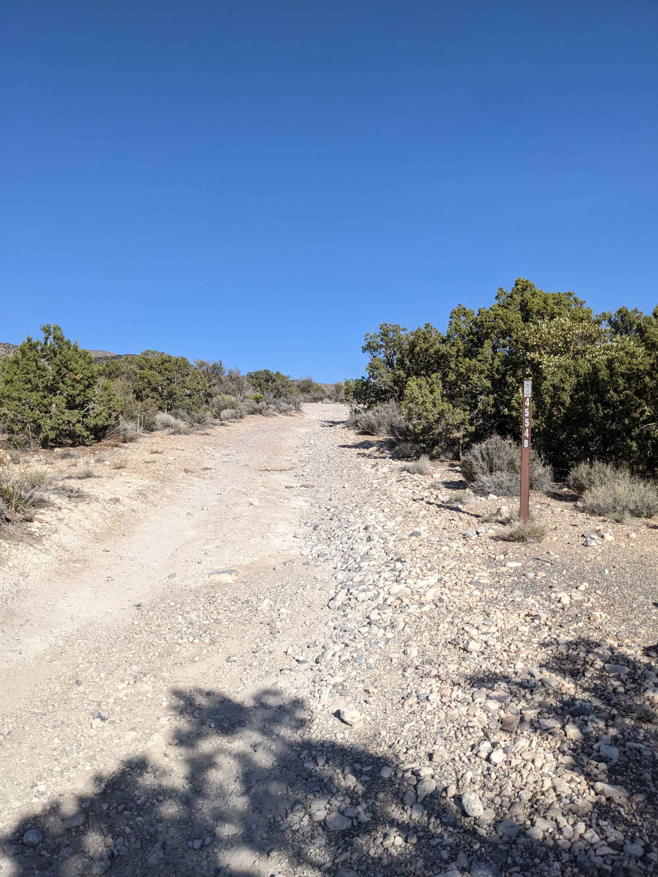
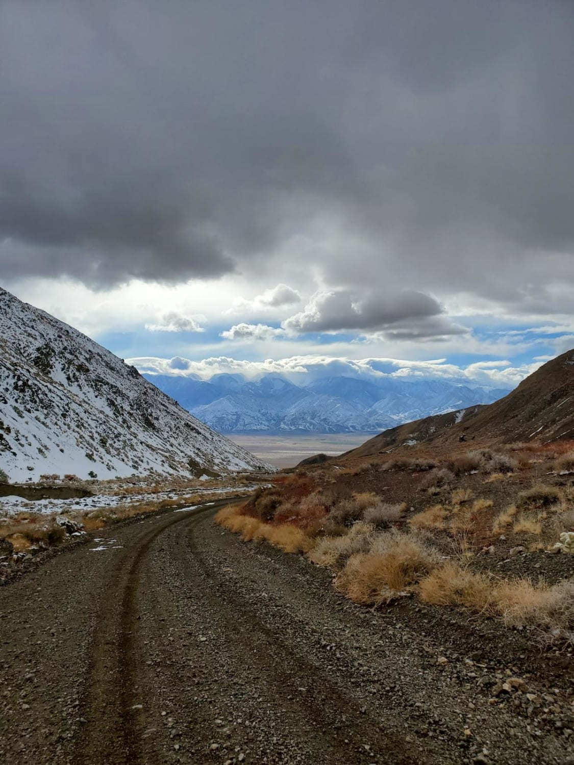
Located on the west side of the Spring Mountains and east of Pahrump NV, this trail starts on BLM land. Eventually, it crosses into the Spring Mountains National Recreation Area on the Toiyabe National Forest. The trail gradually climbs through several Mojave Desert life zones, including Joshua Tree, Blackbrush (Yucca), Pinyon-Juniper, and Pine-Fir. Great views of Charleston Peak (11,811ft).
Photos of Wallace Canyon Road
Difficulty
The trail may be icy and snow-packed at the higher elevations in winter.
Status Reports
Popular Trails
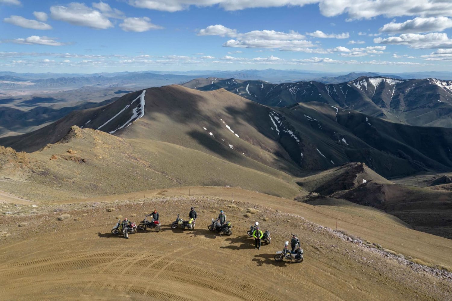
Hot Spring Hill to Mount Lewis
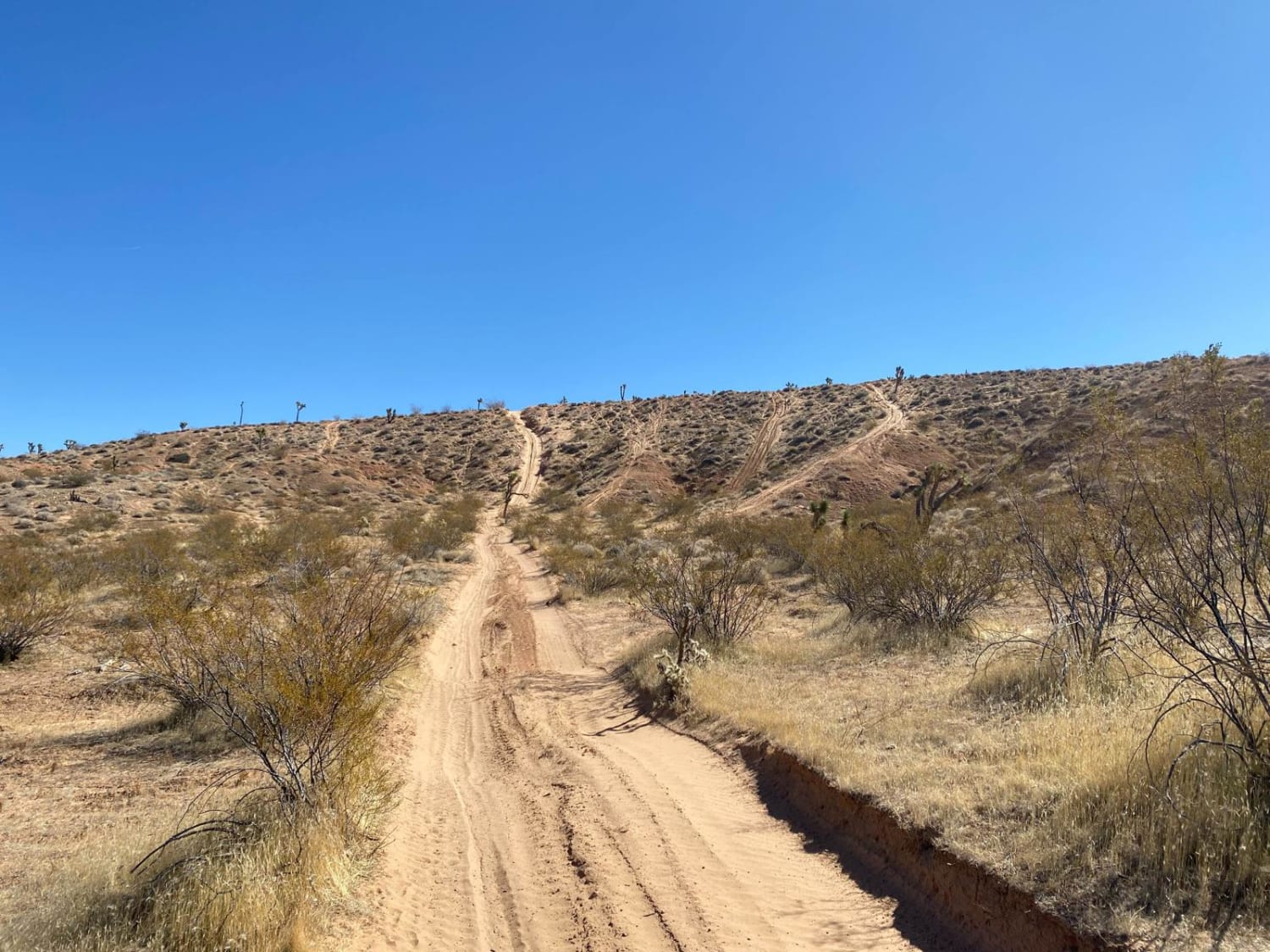
Insane in the Membrane
Pahrump to Mountain Springs
Cabin run via McAfee Road
The onX Offroad Difference
onX Offroad combines trail photos, descriptions, difficulty ratings, width restrictions, seasonality, and more in a user-friendly interface. Available on all devices, with offline access and full compatibility with CarPlay and Android Auto. Discover what you’re missing today!
