Kingston Peak
Total Miles
7.7
Technical Rating
Best Time
Summer, Fall
Trail Type
Full-Width Road
Accessible By
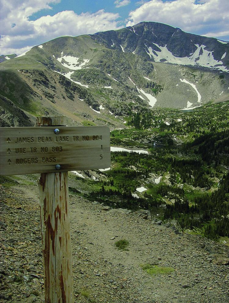
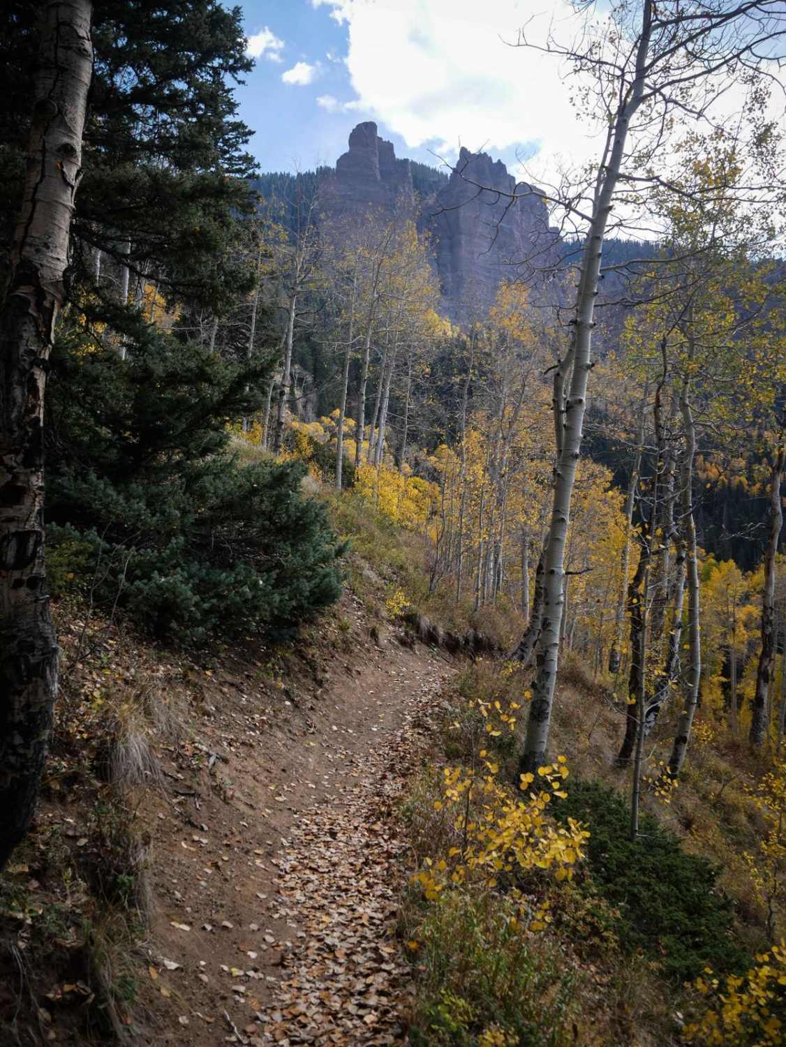
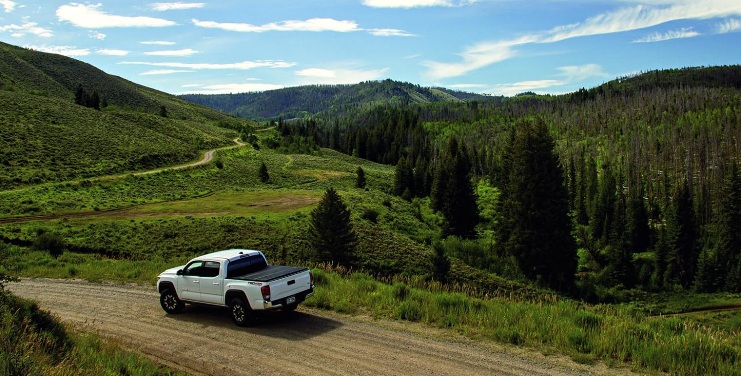
Trail Overview
You can see James Peak on the western horizon on a clear day. The trail goes just above 12,000 feet, so snow arrives early and stays late. Unlicensed vehicles are permitted, and this is an enjoyable trail for them. Parking and camping are available on the north end of the trail.
Photos of Kingston Peak
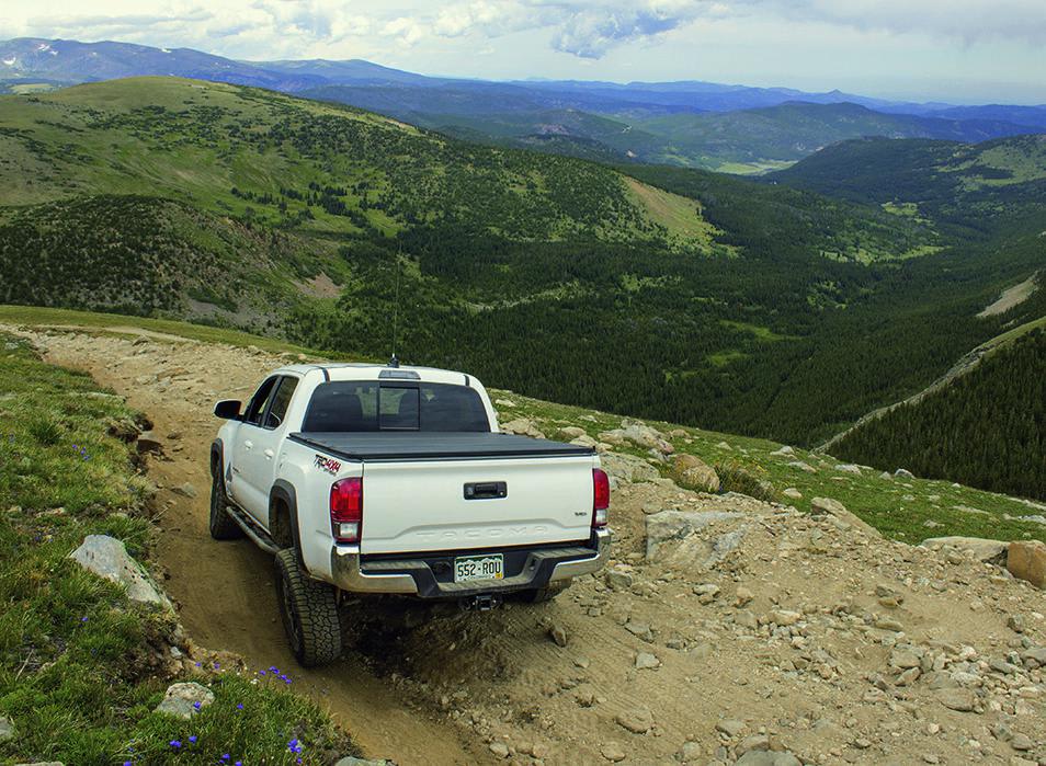
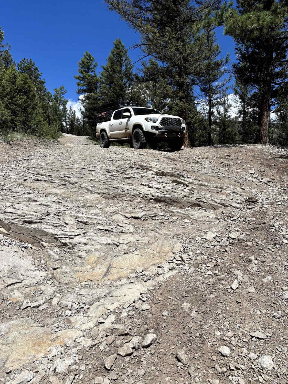
Difficulty
Difficult. Very steep and rocky in several places. Northern part of trail follows a shelf road that may intimidate some drivers. We do not recommend stock vehicles although an aggressive, high-clearance SUV with low-range gears and a skilled driver can do it.
History
Today, Alice is a picturesque mountain residential community. In the 1880s, however, it was an active gold and silver mining town with its own stamp mill. The 'Glory Hole,' a large open pit mine in town, was the biggest producer. Not much remains of the original town except a restored school house at the corner of Alice Road and Silver Creek Road.
Status Reports
Kingston Peak can be accessed by the following ride types:
- High-Clearance 4x4
- SUV
- SxS (60")
- ATV (50")
- Dirt Bike
Kingston Peak Map
Popular Trails
County Road 14 - Lake City
Beaver Creek, Muddy Creek
The onX Offroad Difference
onX Offroad combines trail photos, descriptions, difficulty ratings, width restrictions, seasonality, and more in a user-friendly interface. Available on all devices, with offline access and full compatibility with CarPlay and Android Auto. Discover what you’re missing today!