Marl Creek Road 765/760
Total Miles
5.9
Elevation
281.07 ft
Duration
2 Hours
Technical Rating
Best Time
Spring, Summer, Fall
Trail Overview
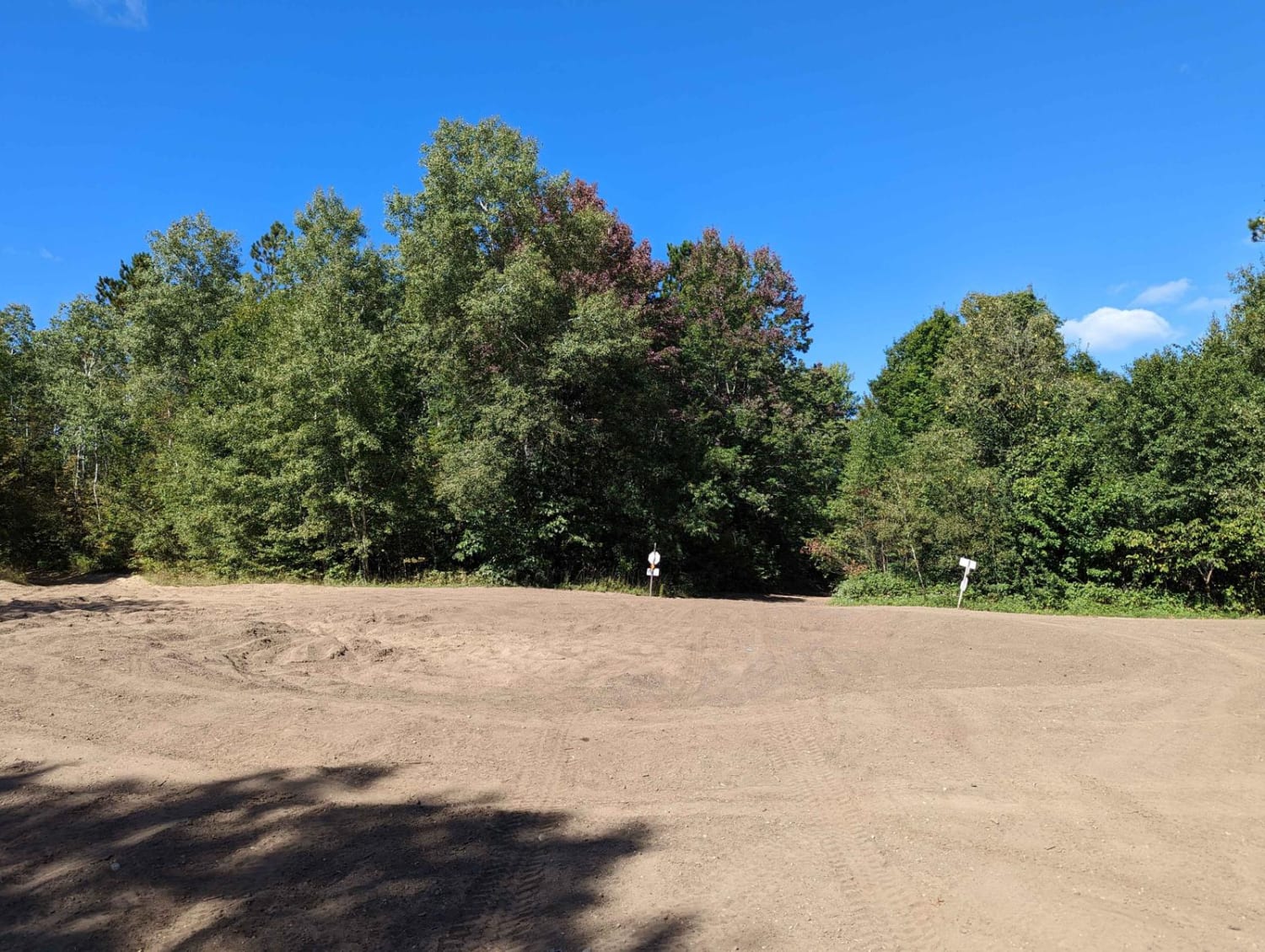
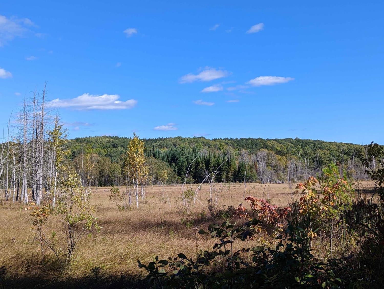
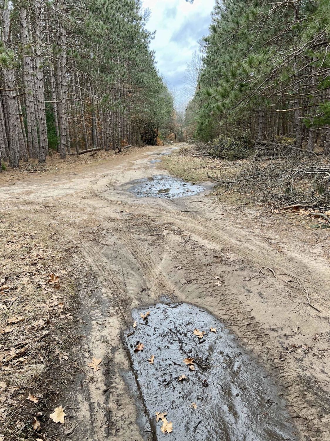
This trail starts as 765 and then turns into 760 south of North County Line Road. There is a sand bowl on the trail immediately after North County Line Road. Then it turns into Marl Creek Road at some point, but it is one continual trail. This trail is not heavily maintained, but it isn't overgrown either. In some areas, the sand gets a little thick, but nothing that any stock all-wheel drive vehicle can't handle, especially if the tires are aired down. There are water crossings, but there is one water crossing that is fairly deep and could be much deeper in the rain. The trail runs through a marshy area. It's very beautiful, just beware if it's been rainy. It does have a solid bottom. On this route, you will discover a couple of very moderate hill climbs and banked corners. You may also encounter some washboarding. Check the Michigan DNR website for the applied seasonal restrictions.
Photos of Marl Creek Road 765/760
Difficulty
This is a fun easy trail. It's only rated a "3" because the one water crossing could be trouble for someone in a low vehicle.
Status Reports
Popular Trails

Blind Creek Trail
MCCCT - 66 to North 7 Mile
FS 4303 Part 2
The onX Offroad Difference
onX Offroad combines trail photos, descriptions, difficulty ratings, width restrictions, seasonality, and more in a user-friendly interface. Available on all devices, with offline access and full compatibility with CarPlay and Android Auto. Discover what you’re missing today!
