San Rafael River Road
Total Miles
13.9
Elevation
1,668.34 ft
Duration
--
Technical Rating
Best Time
Spring, Summer, Fall
Trail Overview
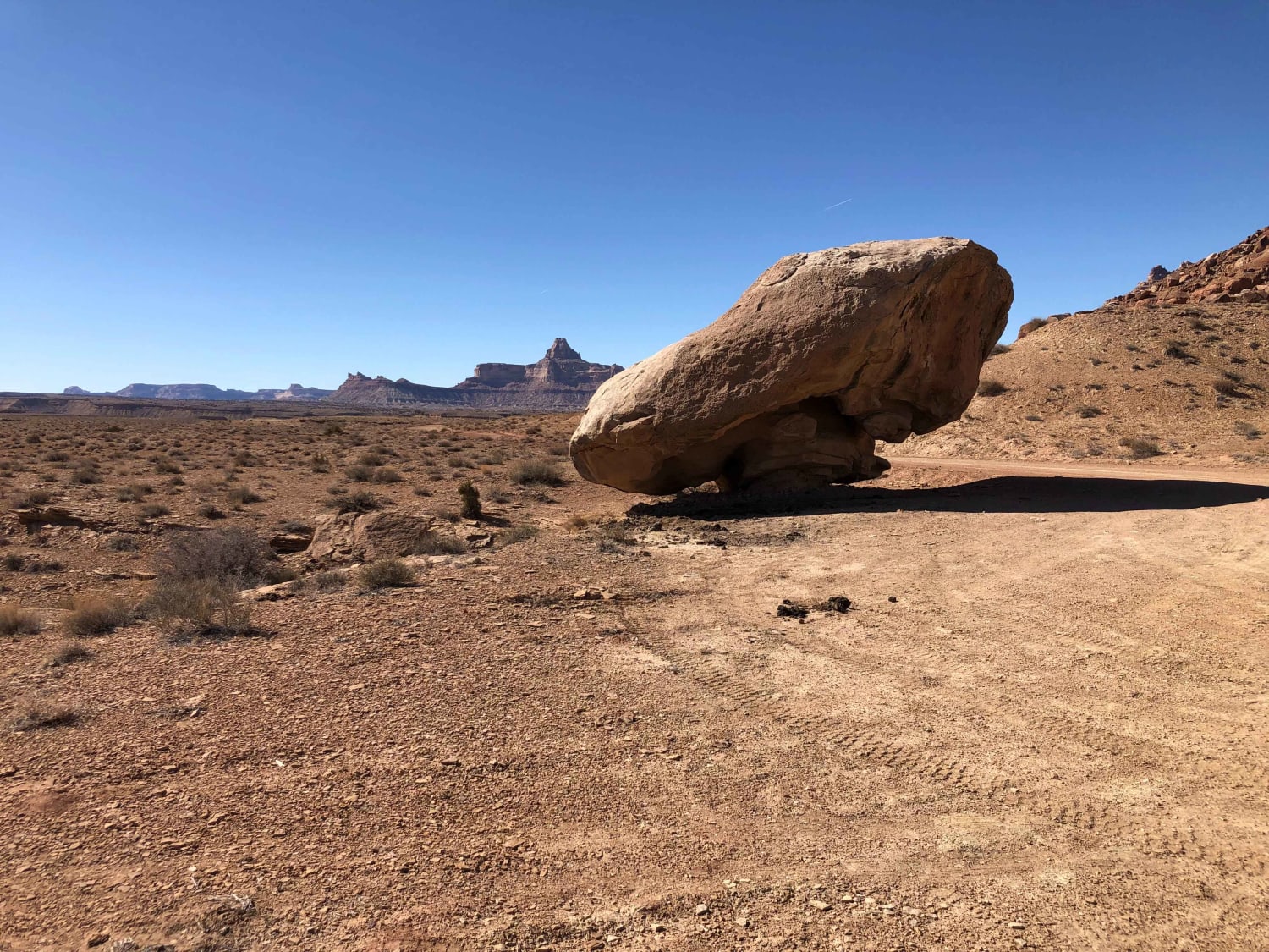
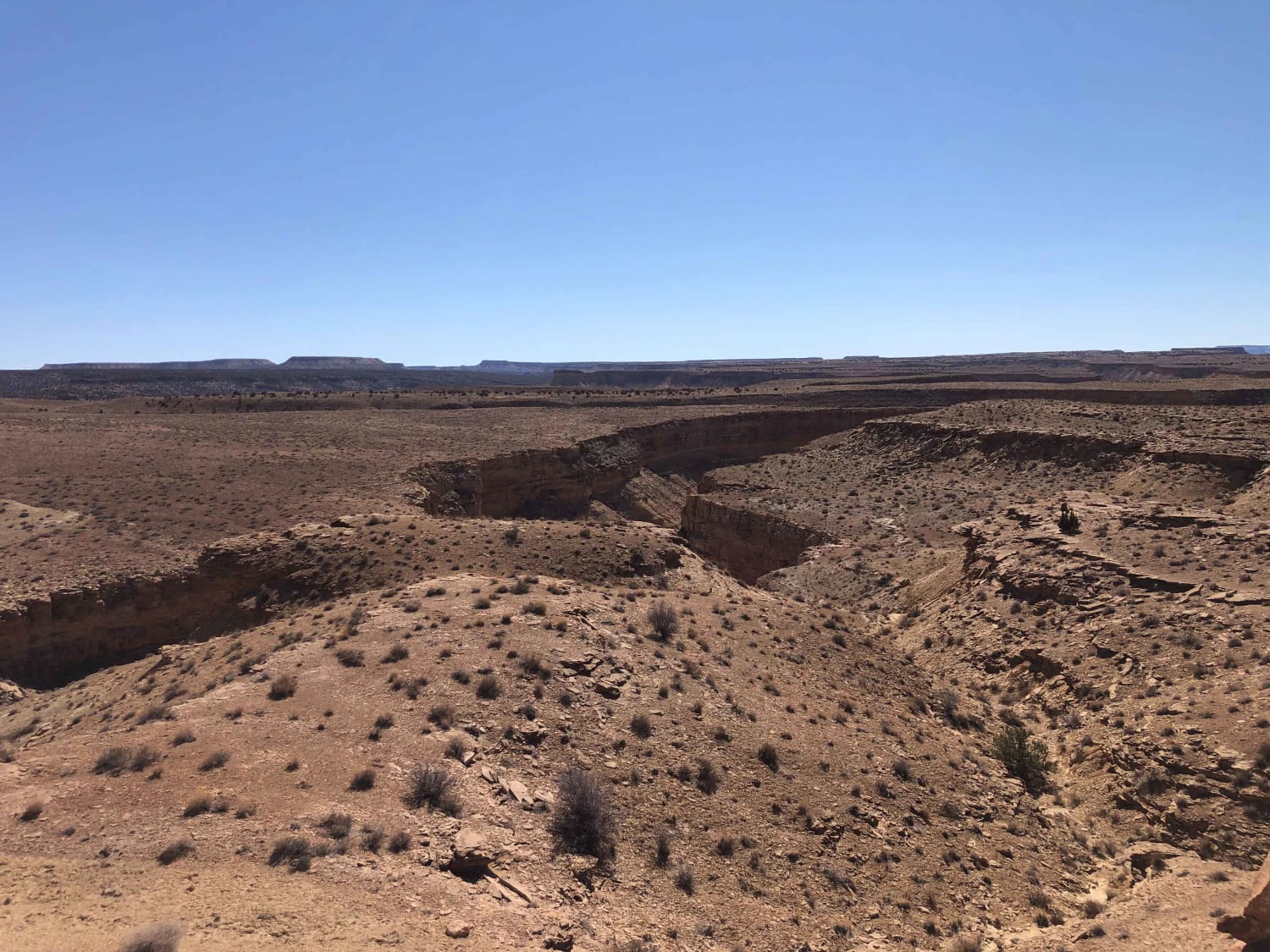
San Rafael River Road is a very nice out and back route that takes you from the south entrance of Buckhorn Canyon into the Mexican Mountain Wilderness. Primarily an undulating dirt road with some wash crossings, exposed rock, and sand. There are no major obstacles to navigate. There are some short, steeper inclines, and the last mile has the most exposed rock as you descend to the endpoint and turn around area. Along the route, there are a number of spectacular views in all directions and many short hikes into side canyons or to overlook the San Rafael River. A notable hike that is accessed from San Rafael River Road is Black Box Canyon, a challenging and advanced slot canyon hike. From the end, you can continue on foot and explore the canyons of the Mexican Mountain Wilderness. Overall this route is an excellent day adventure if you spend the time to explore and take in the many views. The evening offers amazing photo opportunities as the setting sun creates magical light along the red and bronze cliffs of the Mexican Mountain Wilderness.
Photos of San Rafael River Road
Difficulty
Primarily a undulating dirt road with no major obstacles. The last 1.5 mi has some is a steeper downhill (going out) and uphill (coming back) with some rocky terrain and a few ledges that are under 12". Be aware that if the it is wet or there is the possibility of heavy rain the road becomes very muddy and impassable plus there are a few washes that can fill quickly.
Popular Trails
Conger Mountain OHV Route 3
Little Lost Creek
Lakeview West
Skyline South (6002)
The onX Offroad Difference
onX Offroad combines trail photos, descriptions, difficulty ratings, width restrictions, seasonality, and more in a user-friendly interface. Available on all devices, with offline access and full compatibility with CarPlay and Android Auto. Discover what you’re missing today!
