Capitan Gap
Total Miles
10.7
Elevation
3,100.89 ft
Duration
1.5 Hours
Technical Rating
Best Time
Summer, Fall
Trail Overview
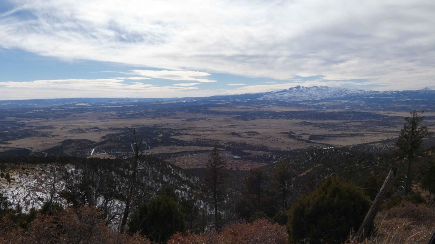
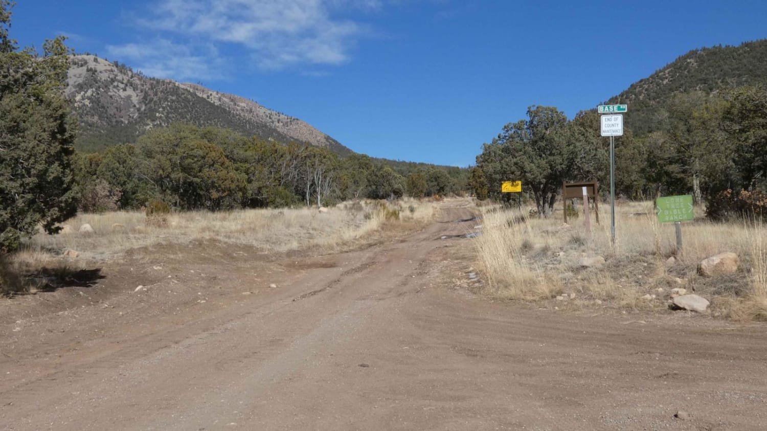
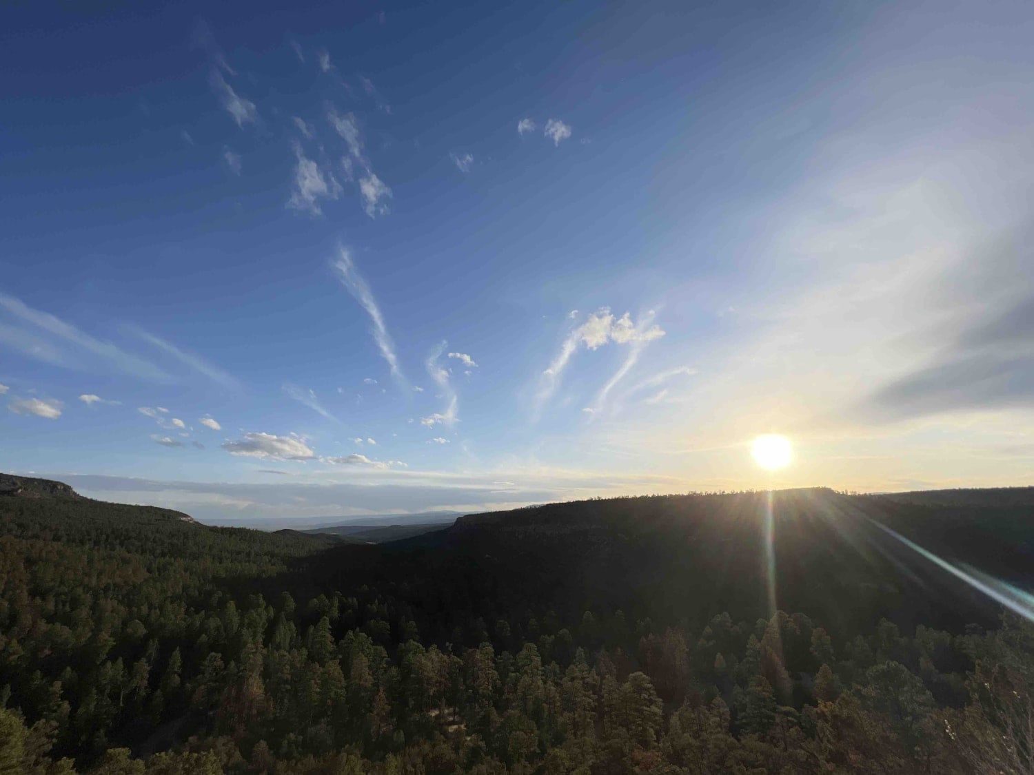
Capitan Gap is a locally well-known and well-traversed out-and-back trail with wide open views, steep grades, and many dispersed camp sites. While the burn scar is still very visible, the trail features an abundance of foliage and wildlife. The trail starts out at the base of the foothills with signage notifying of the possible dangers caused by previous fires in the area. The trail is a combination of rock and dirt that may be slippery during wet or winter seasons, with some obstacles up to 12". While maintained fairly well, expect loose rocks or larger rocks in the center of the trail path, rutted areas, and some slightly off-camber areas. There are several steeper rocky climbs along the trail, however, most 4x4's with good tires will be able to make the trail without issue. During winter months, these rocky climbs do become slippery and should be taken slowly with caution and attention to the trail conditions. As the trail winds and ascends, views to the north and south are wide open and clearly visible before becoming more covered by trees where the trail becomes more level and smooths to a split of dirt and rock surface. There are several motorized spurs and hiking trails along the main trail that are designated with signs. Large portions of the trail are single vehicle wide with no room to pass. Some rutting is present towards the summit where the surface is more dirt than rock, expect these areas to become slippery mud during rain or snow melt. Cell service was excellent until the last 1/2 mile. High wind and downed trees are frequent, snow can become substantially deep, be sure to take note of the weather and surroundings. The trail ends at just over 10,000 feet at a communications array with plenty of room to turn around.
Photos of Capitan Gap
Difficulty
Steep rocky grades, some loose rocks. The abundance of snow and ice in the winter. Some rutting and muddy areas. Some obstacles up to 12".
Status Reports
Popular Trails
Gould Pass Pueblito
Chama Canyon
Forest Service Road 10

Cedar Springs Loop
The onX Offroad Difference
onX Offroad combines trail photos, descriptions, difficulty ratings, width restrictions, seasonality, and more in a user-friendly interface. Available on all devices, with offline access and full compatibility with CarPlay and Android Auto. Discover what you’re missing today!
