Gallinas Palisade
Total Miles
10.4
Elevation
2,352.75 ft
Duration
1.5 Hours
Technical Rating
Best Time
Spring, Summer, Fall, Winter
Trail Overview
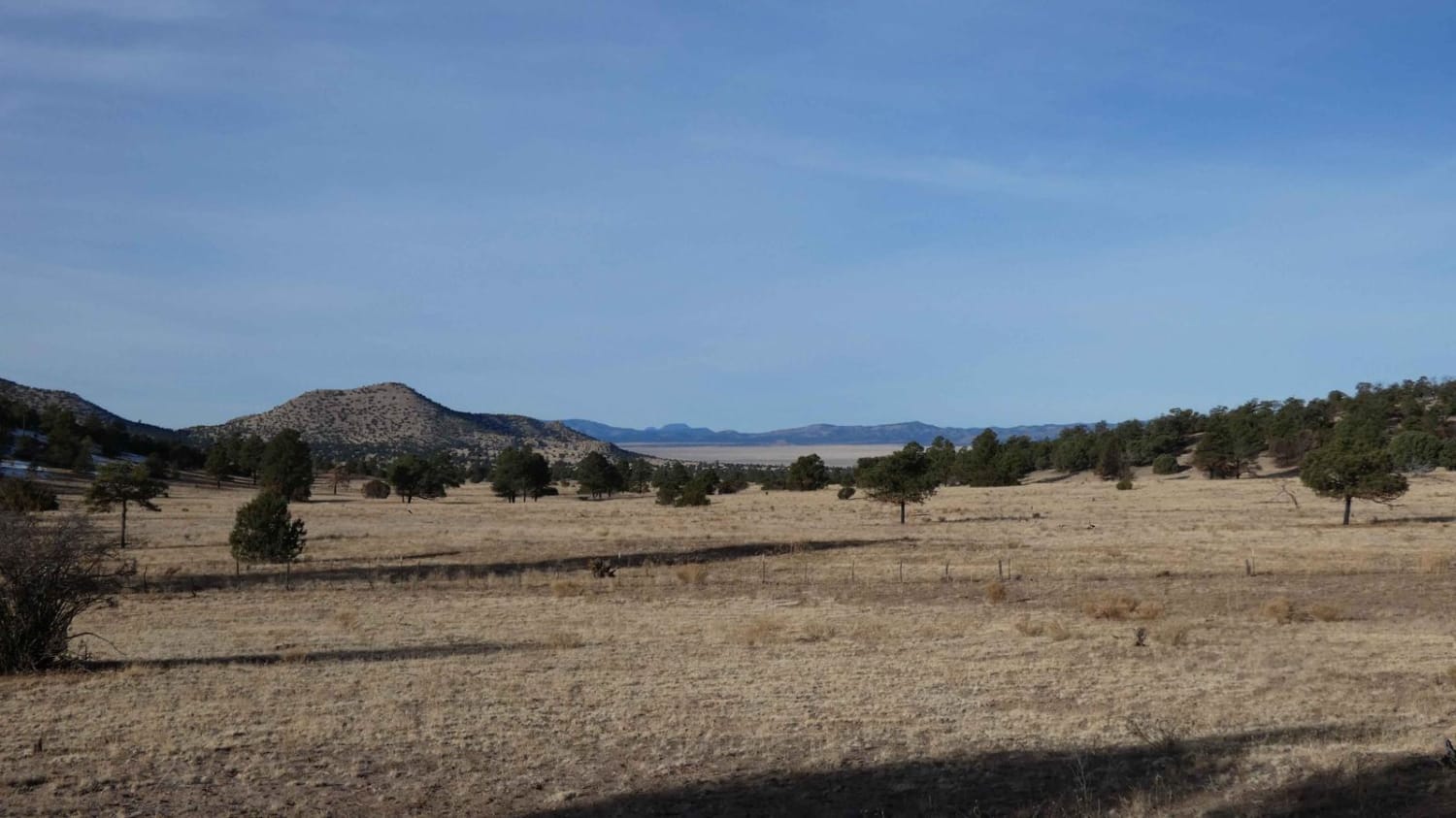
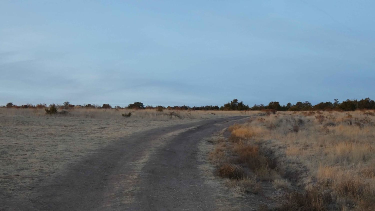
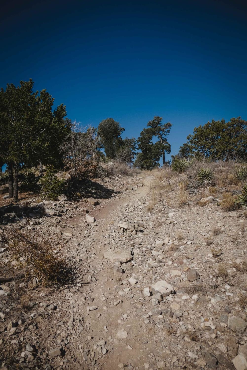
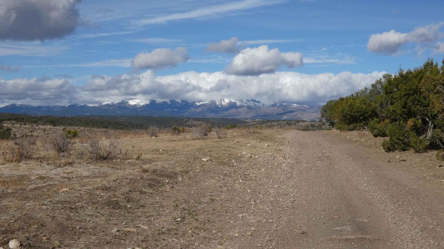
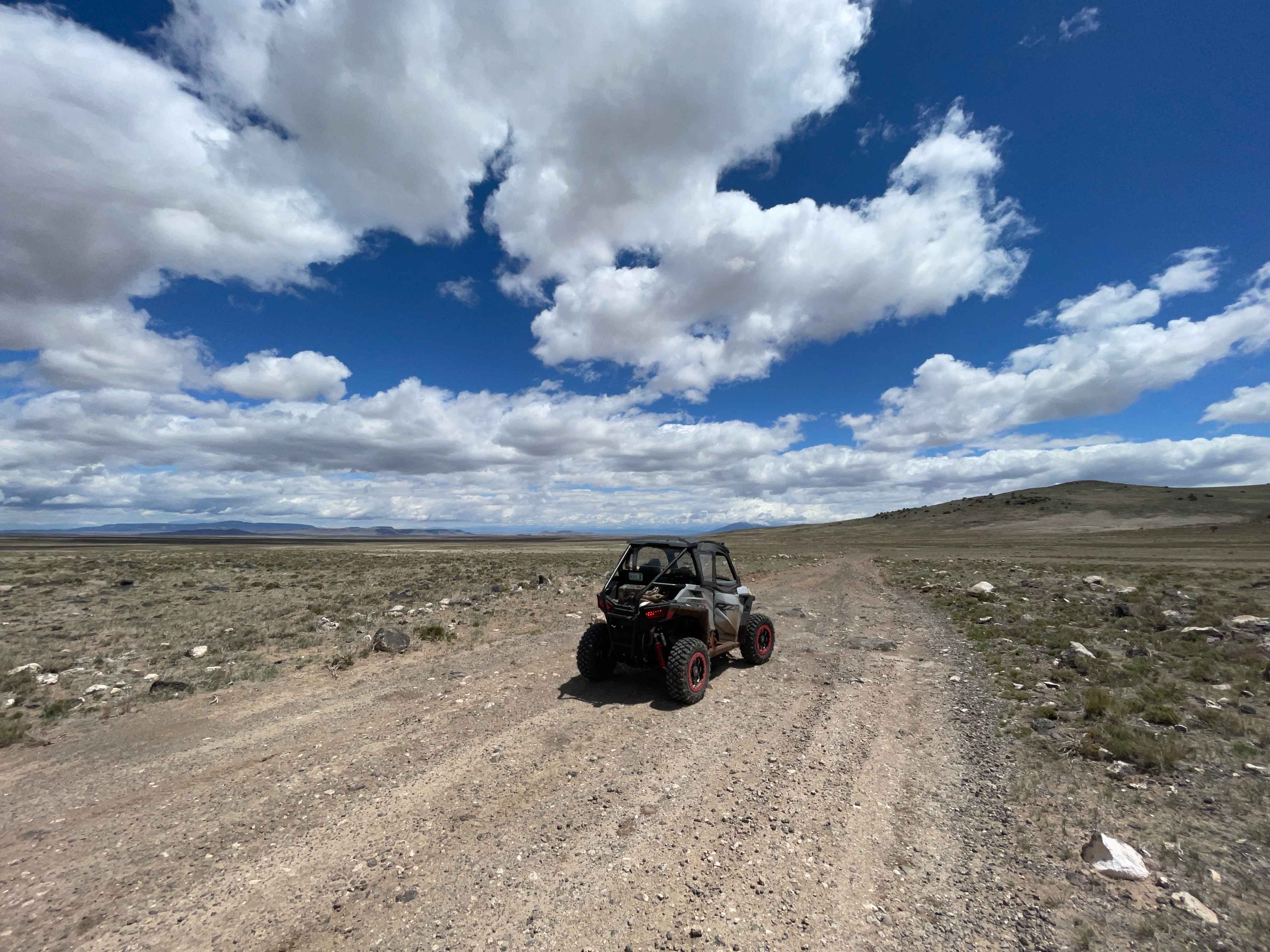
Gallinas Palisade treks along from the eastern foothills of the Gallinas Mountains, around the northern end near Gallinas Peak, and onward to the west, providing views of the Gallinas Mountains, Lion Mountain, and Madre Mountains in the distance to the west. This trail gives drivers a full experience with obstacles up to 12 inches, deeper off-camber rutting, shorter steep grades, and loose rocky surfaces. Along with that, there are several low-lying washes and sandy surfaces that have the potential for water runoff and crossings after rain or heavy snow melt. A short portion of the trail does traverse through the Jaralosa Creek bed and is extremely soft sand and shale along the route. The trail changes in width on multiple occasions with some areas being wide enough for two vehicles, some single-vehicle width areas, and a few spots with very little room to pass if needed. While there are several areas along the route where the views are very wide, cell service in the area is generally weak with a majority having no service. The trail can be run as an out-and-back, or from CR 169 to Council Rock/FSR 10 that will connect back to CR 169, with multiple motorized spurs along the route.
Photos of Gallinas Palisade
Difficulty
Drivers can expect to encounter deep off-camber rutting, larger loose rocks up to 12 inches, and a few short, steep grades. There are several soft sandy washes and a long section of a dry creek bed with a soft sand surface.
Status Reports
Popular Trails
Eagle Lakes
San Antonio Mountain Loop

FR 99N Gemstone Shortcut
The onX Offroad Difference
onX Offroad combines trail photos, descriptions, difficulty ratings, width restrictions, seasonality, and more in a user-friendly interface. Available on all devices, with offline access and full compatibility with CarPlay and Android Auto. Discover what you’re missing today!
