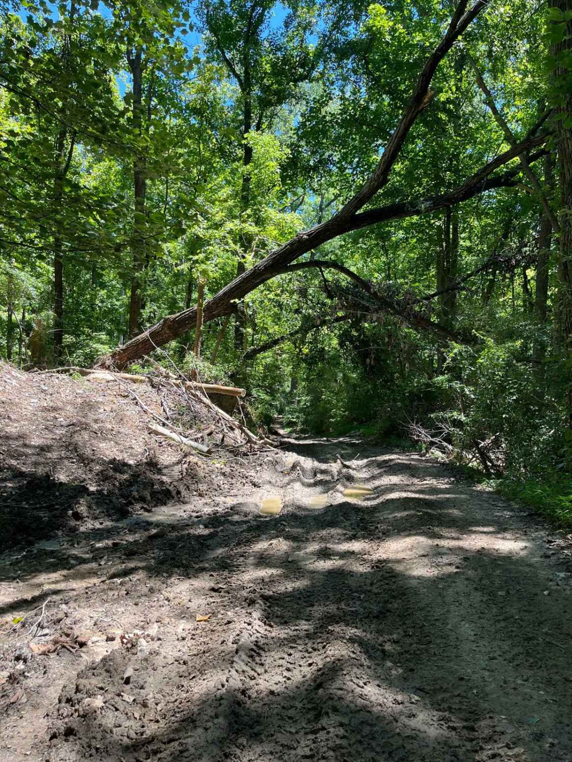
Old Boundary Trail
Total Miles
0.7
Elevation
162.07 ft
Duration
0.5 Hours
Technical Rating
Best Time
Summer
Trail Overview
The Old Boundary Trail can be accessed through the Amax Trail, Roller Coaster Trail, Pallet Trail, and a few other tertiary routes. This trail was the former southern boundary of our park until the property expansion. It traverses through a portion of rolling hills, with some level spots periodically encompassed by occasional water holes. The east side of the Old Boundary Trail overlooks the Bankston Fork Pit, our longest body of water on the property. When approached from the Amax Trail on the west side, this route begins with a hard-packed surface on the sides and top of the hills, with possible slick conditions and standing water in the valleys of the rolling hills portion during wet seasons. This is followed by a flatter middle portion of the trail, where the majority of the water holes reside despite the season. The eastern side of the Old Boundary Trail is a slightly rougher terrain than the more frequently maintained middle and western portions, transforming into an advanced tertiary route with a final descent. The primary terrain of this trail is a mixture of dirt and rock, with some larger rocks protruding from the surface, which can be dangerous at times if riders are not familiar with the terrain. The Old Boundary Trail is periodically resurfaced with a dozer, to prevent hazards to riders. When a dry season is present, this trail can be explored with ease on a two-wheel drive OHV, although wet conditions can require the use of four-wheel drive to complete. This route is accessible by SxS, ATV, and dirt bikes, and falls into the blue difficulty rating.
Photos of Old Boundary Trail
Difficulty
Some protruding rocks may measure up to 18" during unmaintained seasons. The dirt surface of this trail becomes very slick after rain and can be a challenge to pass at these times.
History
In years past, before the expansion of our park, this trail was our south property boundary.
Status Reports
Popular Trails
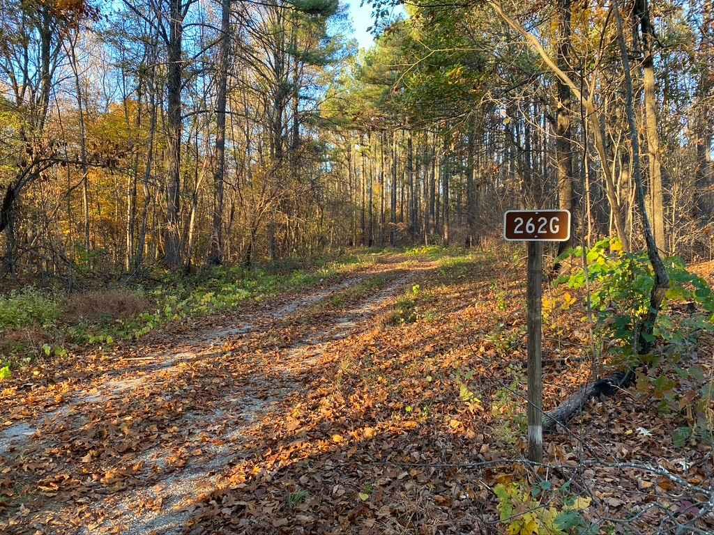
Slick Ridge SFR 262G
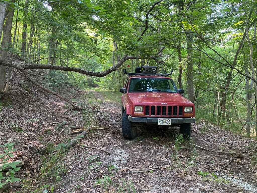
Burner Hill FSR 620
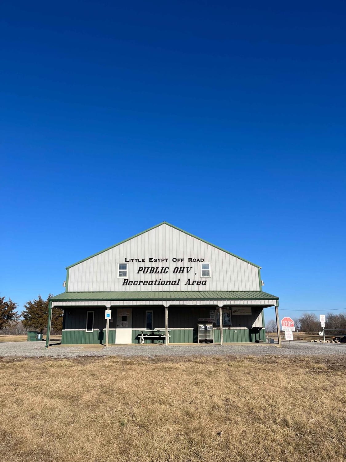
Little Egypt Off-Road OHV Park Entrance
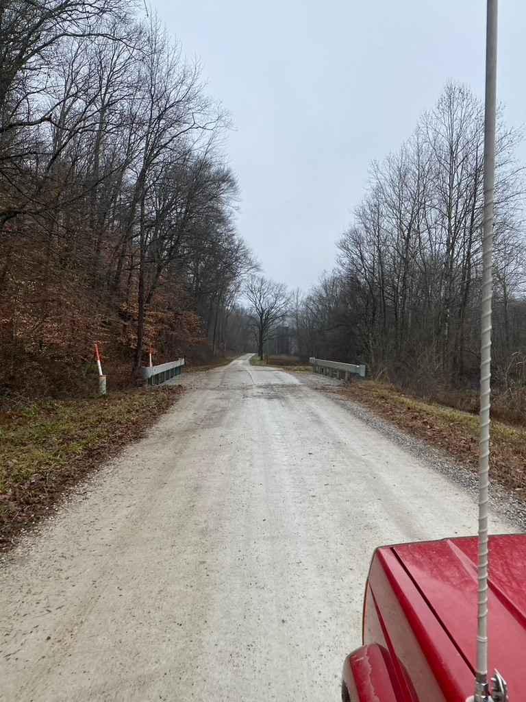
Delta Road/Moad Hollow Road
The onX Offroad Difference
onX Offroad combines trail photos, descriptions, difficulty ratings, width restrictions, seasonality, and more in a user-friendly interface. Available on all devices, with offline access and full compatibility with CarPlay and Android Auto. Discover what you’re missing today!

