Engineer Pass
Total Miles
20.4
Elevation
3,948.64 ft
Duration
3 Hours
Technical Rating
Best Time
Summer, Fall
Trail Overview
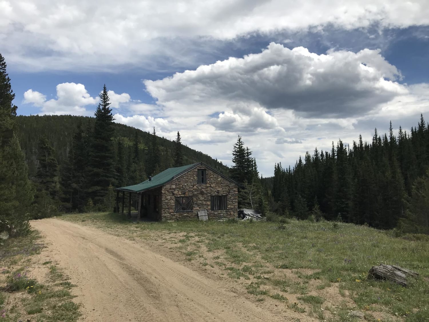
This trail is one portion of the Alpine Loop. There is something for all levels and a lot of unique historical sights to see. When you reach the east side, you'll follow Henson Creek. This is a great place for camping and fishing.
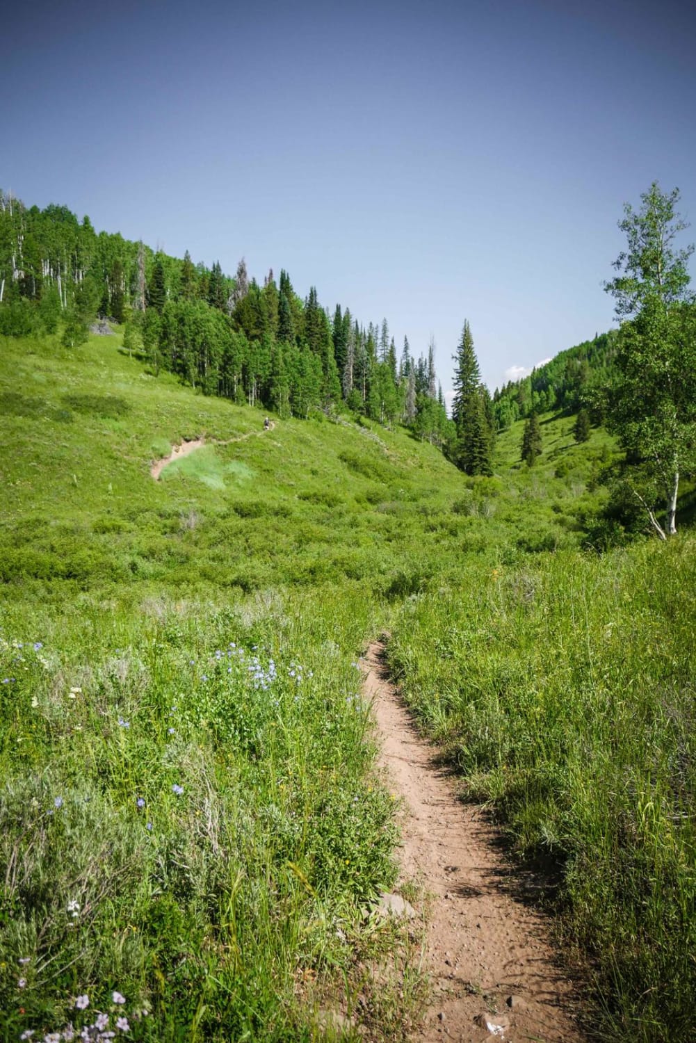
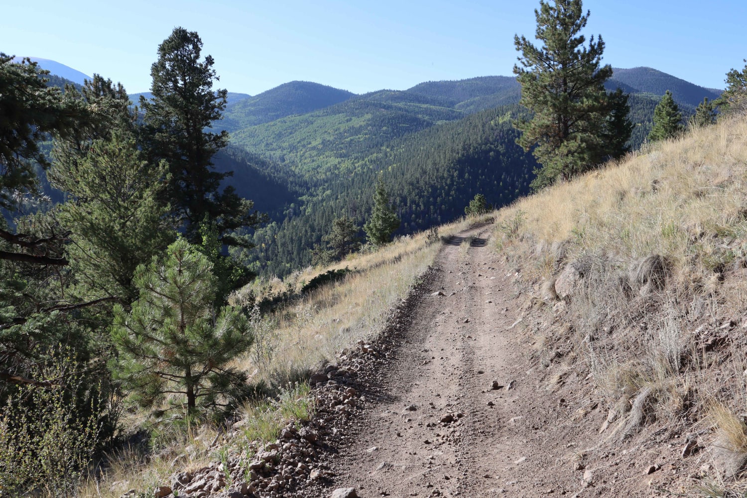
Photos of Engineer Pass
Difficulty
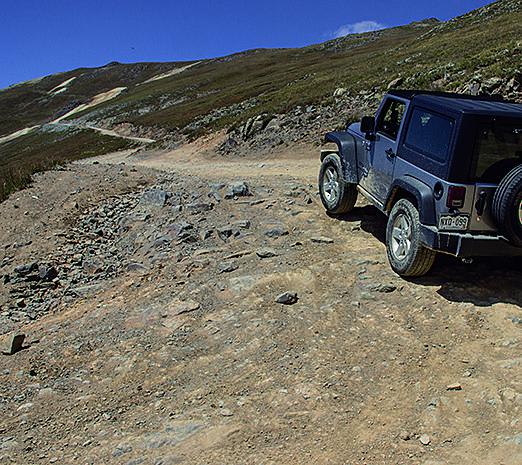
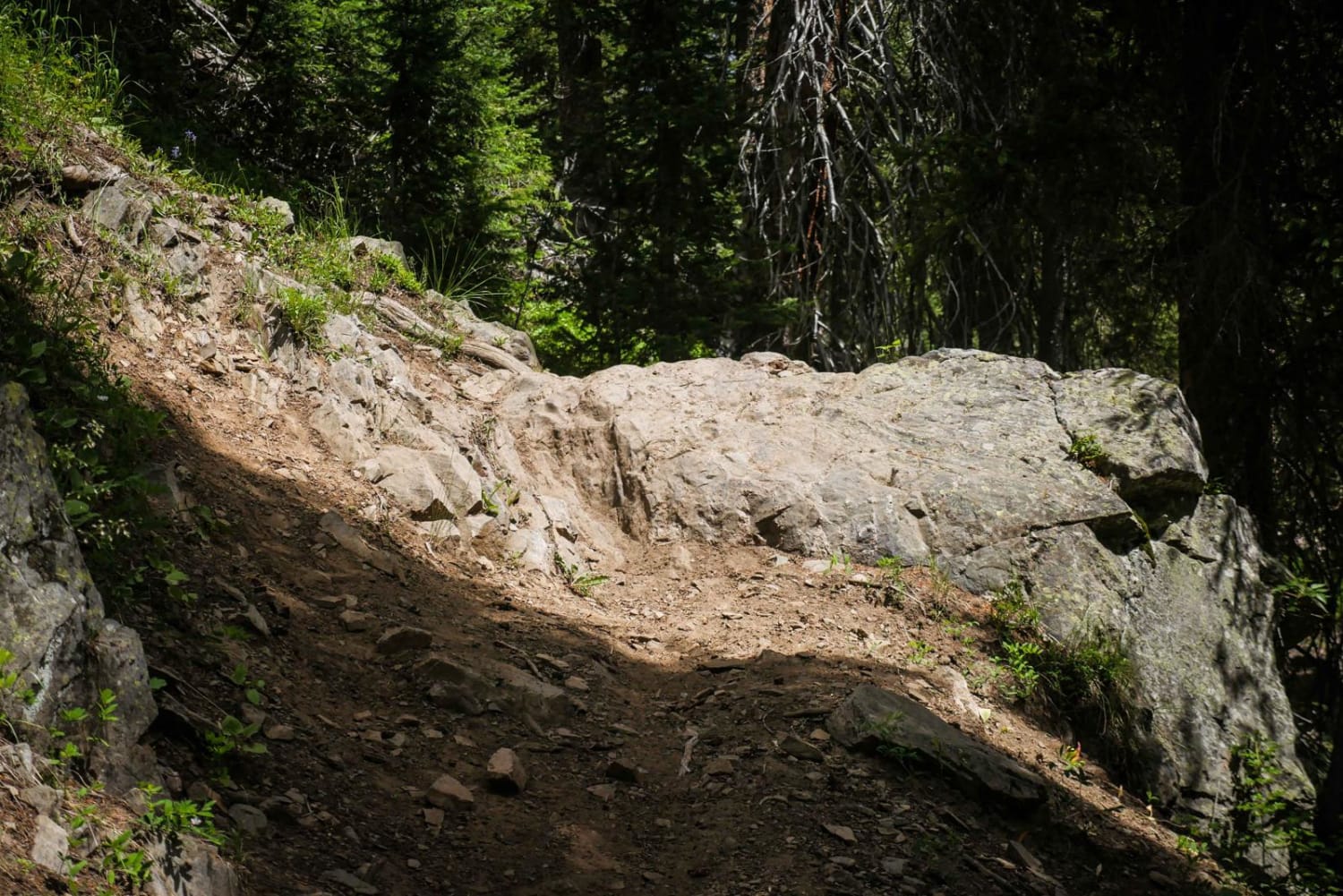
Moderate. The majority of the drive, coming down the east side of the pass, is easy. However, the west side, between Wpts. 01 and 02, is very steep, narrow and rocky in spots. Caution should be used at all times especially in wet weather. Novice backcountry drivers may be intimidated. Don't drive if snow covered. You'll want 4-wheel drive with low range gearing and high ground clearance. No seasonal closures except by weather.
History
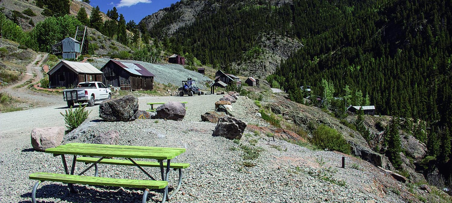
Engineer Pass Road was a major stagecoach and freight route when it opened in the late 1870s. Like so many other roads in the area, it was built by Otto Mears as a toll road. Watch for kiosks along the route that describe key features. Take some time to see the town of Henson and the Ute-Ulay Mine. The mine was discovered in 1871 and sparked the development of Lake City.
Status Reports
Popular Trails
N Clear Creek Road
Independence Creek
Burro Creek Trail
Go Farther
Try onX Offroad Elite for free for a week — no strings attached. Get access to thousands of off-road dirt trails and snowmobile trails across the nation. View your favorite zones in 3D. Send trails to friends. Start planning the trip of a lifetime now.