Wilderness Trail
Total Miles
7.2
Elevation
481.35 ft
Duration
0.75 Hours
Technical Rating
Best Time
Spring, Fall, Winter
Trail Overview
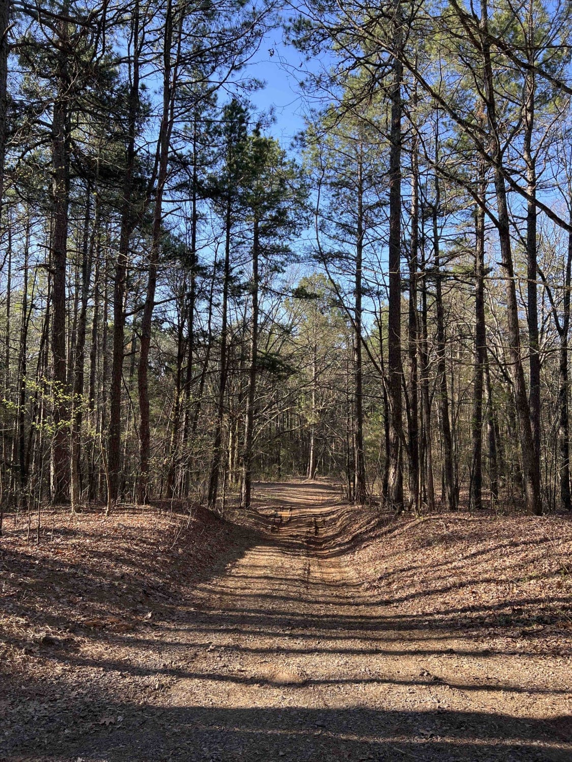
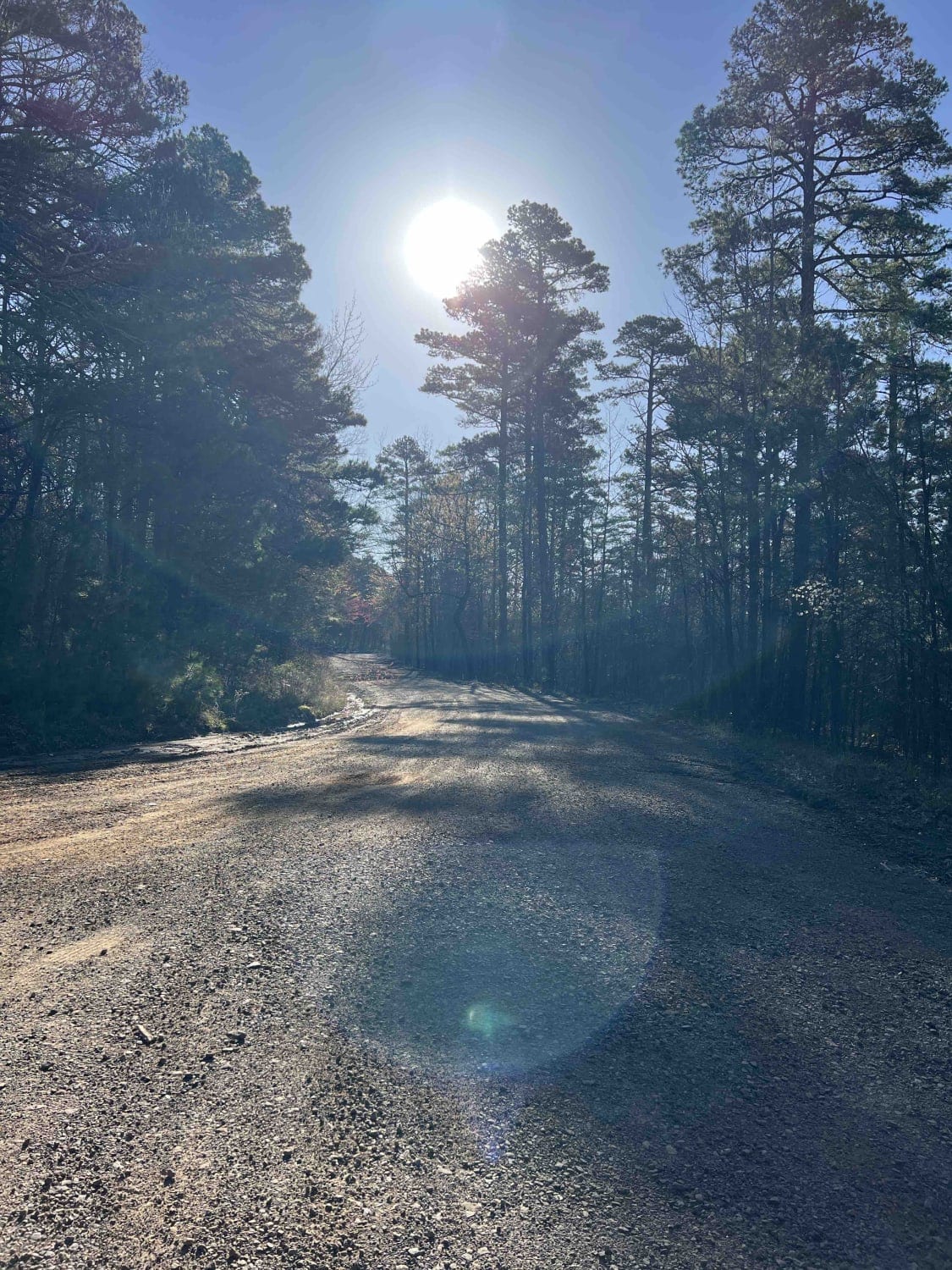
Wilderness Trail is a beautiful scenic drive with several spots to pull off and take some pictures of the panoramic views. Wilderness Trail sits at an elevation of 1,900 feet and has a really nice big dispersed camping spot. It's an easy gravel road with some old logging operations which is a plus for collecting firewood along this route. Austin Trailhead 2321 leads to a 4x4 recreation area that spans for miles. Austin Trailhead has two different entrances, all of which run into each other in the off-roading area. There are creeks in the area to get non potable water from and are clean enough to use with a filter to drink. The bugs aren't bad during the spring, winter and late fall but come out in full force once the weather starts warming up. According to the Arkansas Game and Fish Commission the local bear population is high so be mindful of storing food in your vehicle while camping and make sure to bring the bear spray. There are a number of wildlife that you will see in this area. Wild boar, turkey, skunk, bear, white tailed deer, mountain lions, bobcats, cottonmouth and rattlesnakes.
Photos of Wilderness Trail
Difficulty
Rolling hills, steep climbs and gravel road. There are steep drop off's so stay away from the edge of the road.
History
Here is a little history on the Ozark National Forest on the USDA forest service website.https://www.fs.usda.gov/main/osfnf/learning/history-culture
Popular Trails
Lowder 1365
Million Dollar Highway

3ST Motorcycle Only
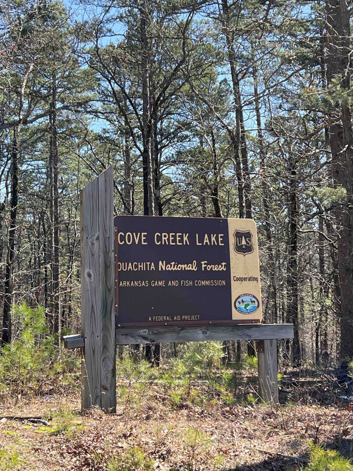
Cove Creek Lake/Link Mountain Road 210
The onX Offroad Difference
onX Offroad combines trail photos, descriptions, difficulty ratings, width restrictions, seasonality, and more in a user-friendly interface. Available on all devices, with offline access and full compatibility with CarPlay and Android Auto. Discover what you’re missing today!
