Southside
Total Miles
0.9
Technical Rating
Best Time
Winter, Fall, Summer, Spring
Trail Type
Full-Width Road
Accessible By
Trail Overview
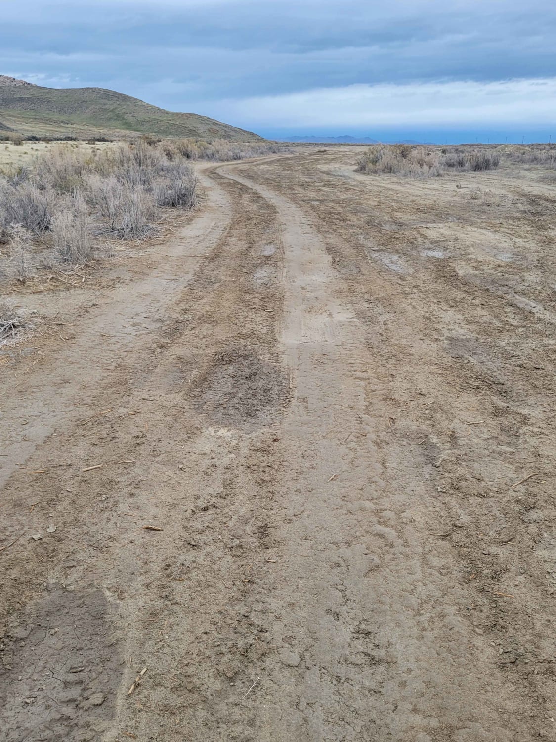
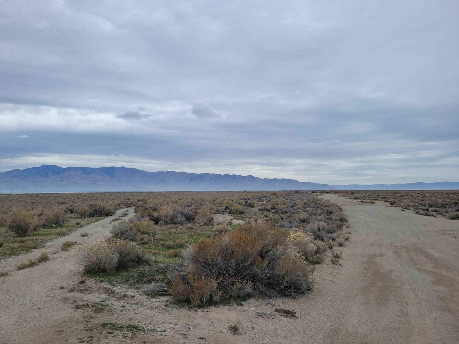
This connecting trail is less damaged than others in the area, although there are still a couple of ruts and mud holes to navigate. It leads from the main road up to one of the many shooting areas and connects to several other trails.
Photos of Southside
Difficulty
This connecting trail is less damaged than some of the others in the area, although there are still a couple of ruts and mud holes to navigate. It leads from the main road up to one of the many shooting areas, as well as connects to several other trails.
Popular Trails

Hog Canyon 6 - Savage Point (BLM HC6/6A)
Lakeside to Razzle Dazzle East
Cow Dung Road
Mount Baldy Road
The onX Offroad Difference
onX Offroad combines trail photos, descriptions, difficulty ratings, width restrictions, seasonality, and more in a user-friendly interface. Available on all devices, with offline access and full compatibility with CarPlay and Android Auto. Discover what you’re missing today!
