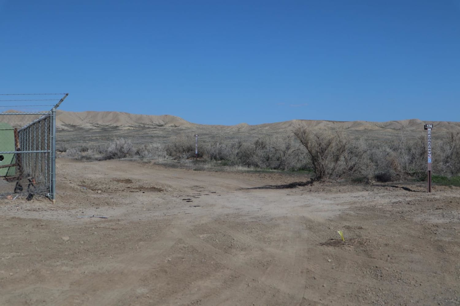
BLM Route 174
Total Miles
9.2
Technical Rating
Best Time
Spring, Summer, Fall
Trail Type
Full-Width Road
Accessible By
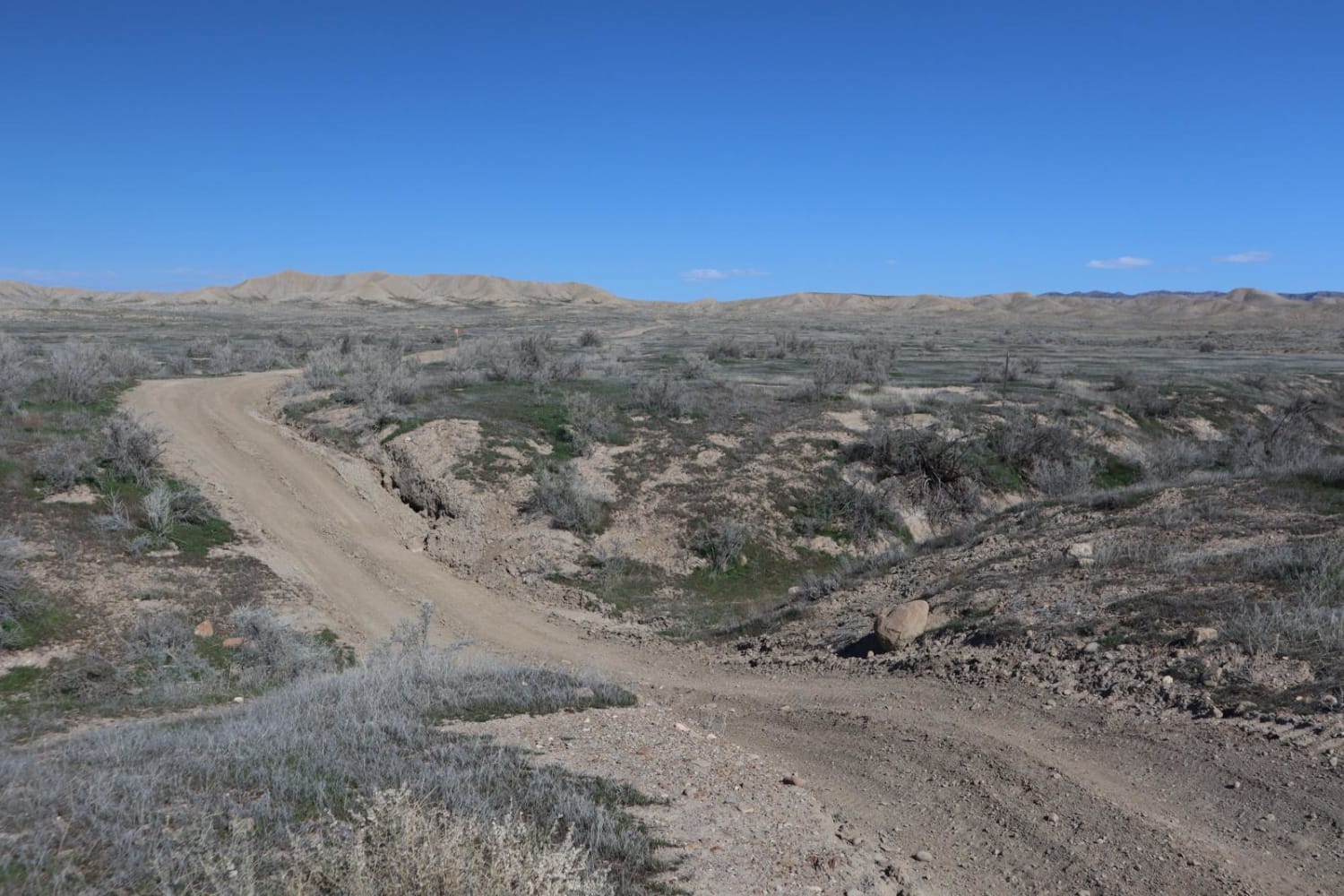
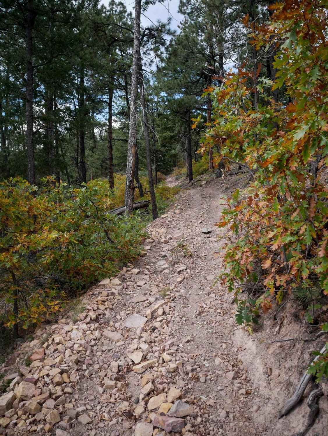
Trail Overview
BLM Route 174 is primarily a pipeline access trail that runs from 21 Road to 16 Road. It can be used as a connector between these two points, however, not many opportunities exist for camping, parking, or OHV access along this route. It begins immediately North of a natural gas refinery area, and runs East-West through several moderate washes, with some fairly steep ascents/descents. Camping is primarily only available within the 18 Road general area of the North Fruita Desert Area. Continuing West past 18 Road you will encounter a brief rocky hill to climb before continuing on mostly dirt road. This route passes briefly through private lands, where you will encounter a BLM gate at mile 8. Continuing past this point you will be on a much wider dirt/gravel road following the power line out to 16 Road. Stick only to the previously disturbed track. Pack out what you pack in.
Photos of BLM Route 174
Difficulty
Mostly dirt and gravel surface up and over several hills, and through several washes. Monitoring of weather conditions is strongly advised before travel.
Popular Trails
Salt Creek Road
Stony Pass, Kite Lake

Reservoir Canyon
The onX Offroad Difference
onX Offroad combines trail photos, descriptions, difficulty ratings, width restrictions, seasonality, and more in a user-friendly interface. Available on all devices, with offline access and full compatibility with CarPlay and Android Auto. Discover what you’re missing today!