Coxey Road
Total Miles
7.2
Technical Rating
Best Time
Spring, Summer, Fall, Winter
Trail Type
Full-Width Road
Accessible By
Trail Overview
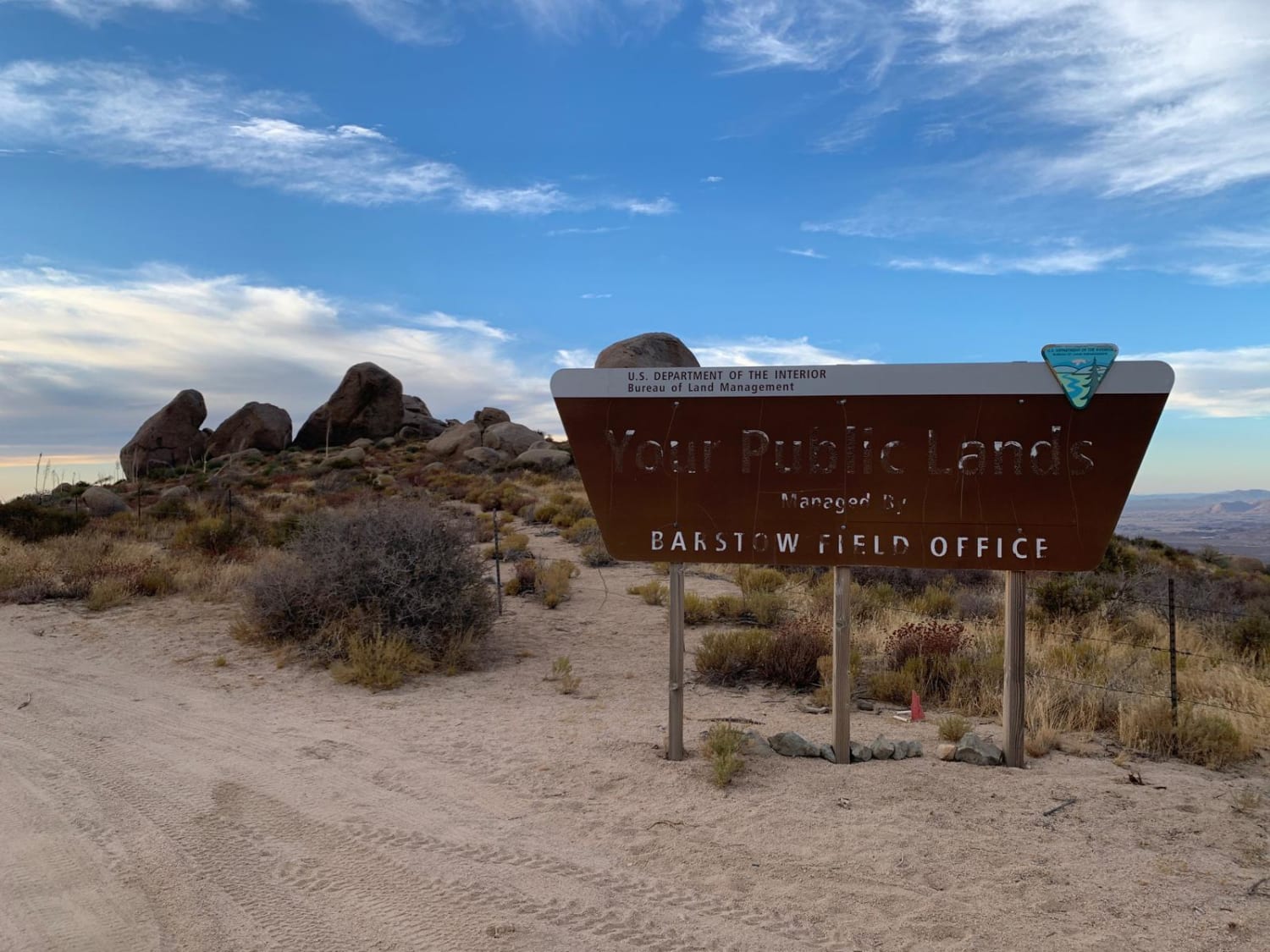
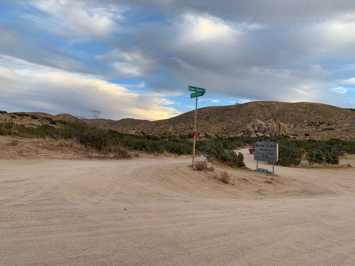
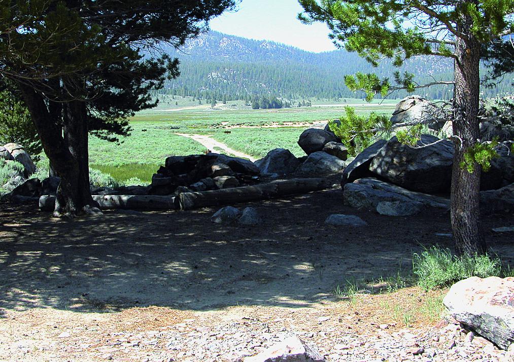
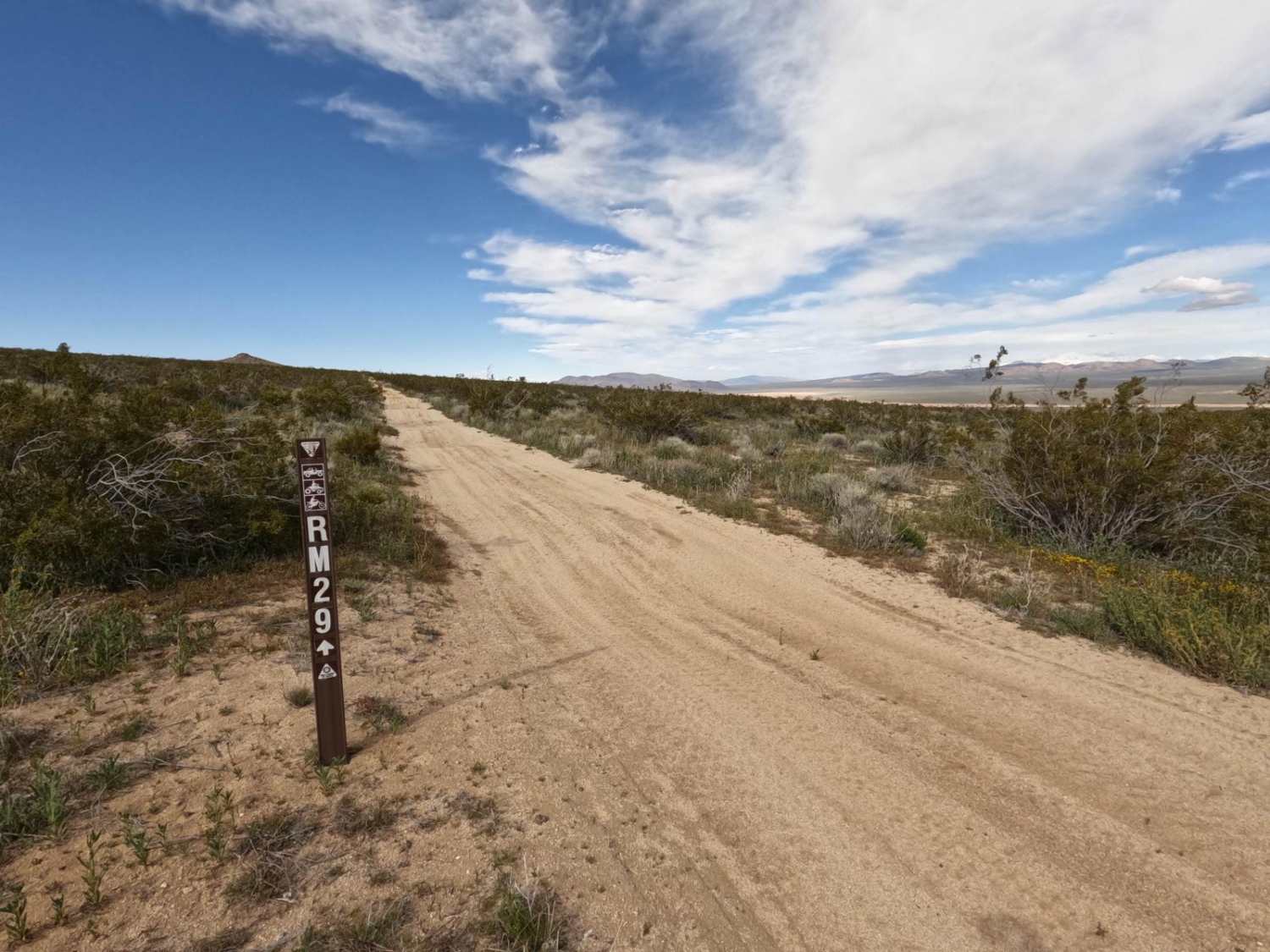
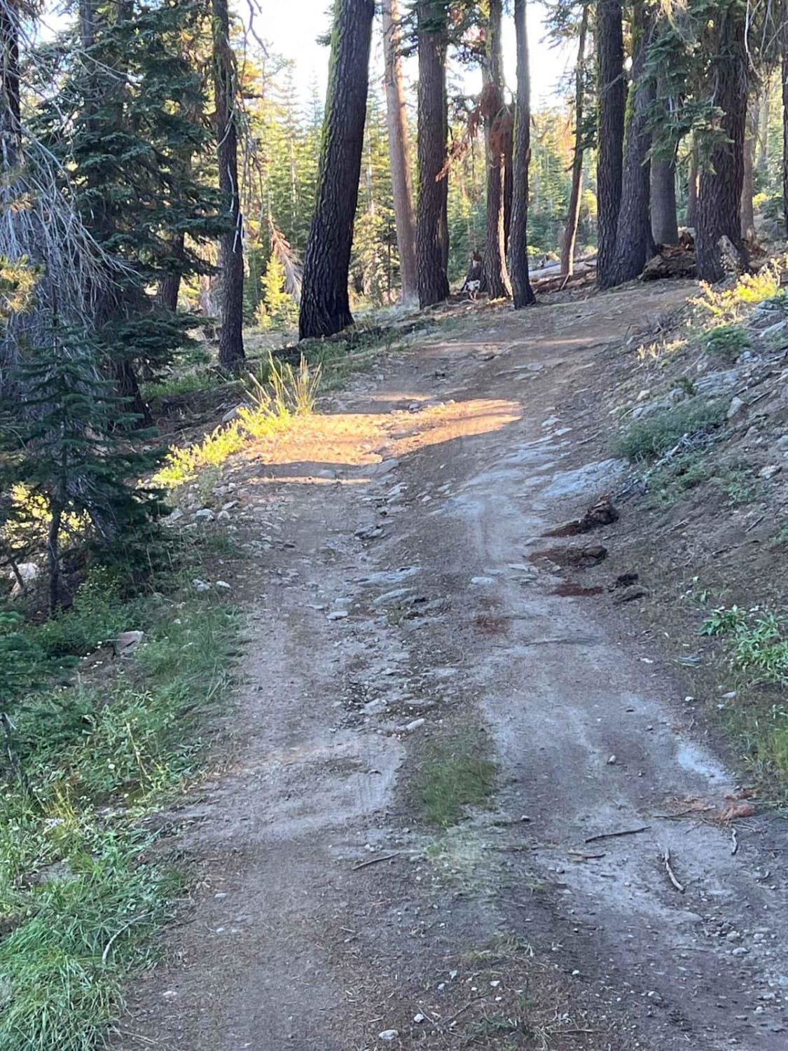
Nice, easy going, wide sandy trail connecting other great OHV roads. The trail runs from Grapevine Canyon Road to Bowen Ranch Road. Look for the sign for 3N14 off Grapevine Canyon Road to start the trail. Watch for surprise dips and ruts as you cruise along. There are some large boulders along the trail that could be fun to climb. Along the trail there is a sign for Juniper Flats BLM area with a map of nearby roads and explanation of the local ecosystem. There are amazing mountain views along the trail, especially around golden hour. Bowen Ranch Road is also a dirt road with a sign at the end. Cell service for AT&T is available along most of the trail. Would not recommend running in heavy rain otherwise good all year round.
Photos of Coxey Road
Difficulty
A wide dirt road. There are some soft patches and ruts, but nothing unreasonable for SUVs and high clearance vehicles.
Status Reports
Popular Trails
Pinecrest Peak

Red Mountain OHV Trail
The onX Offroad Difference
onX Offroad combines trail photos, descriptions, difficulty ratings, width restrictions, seasonality, and more in a user-friendly interface. Available on all devices, with offline access and full compatibility with CarPlay and Android Auto. Discover what you’re missing today!
