Warloop Road - 1567a
Total Miles
5.5
Elevation
490.09 ft
Duration
1 Hours
Technical Rating
Best Time
Spring, Summer, Fall, Winter
Trail Overview
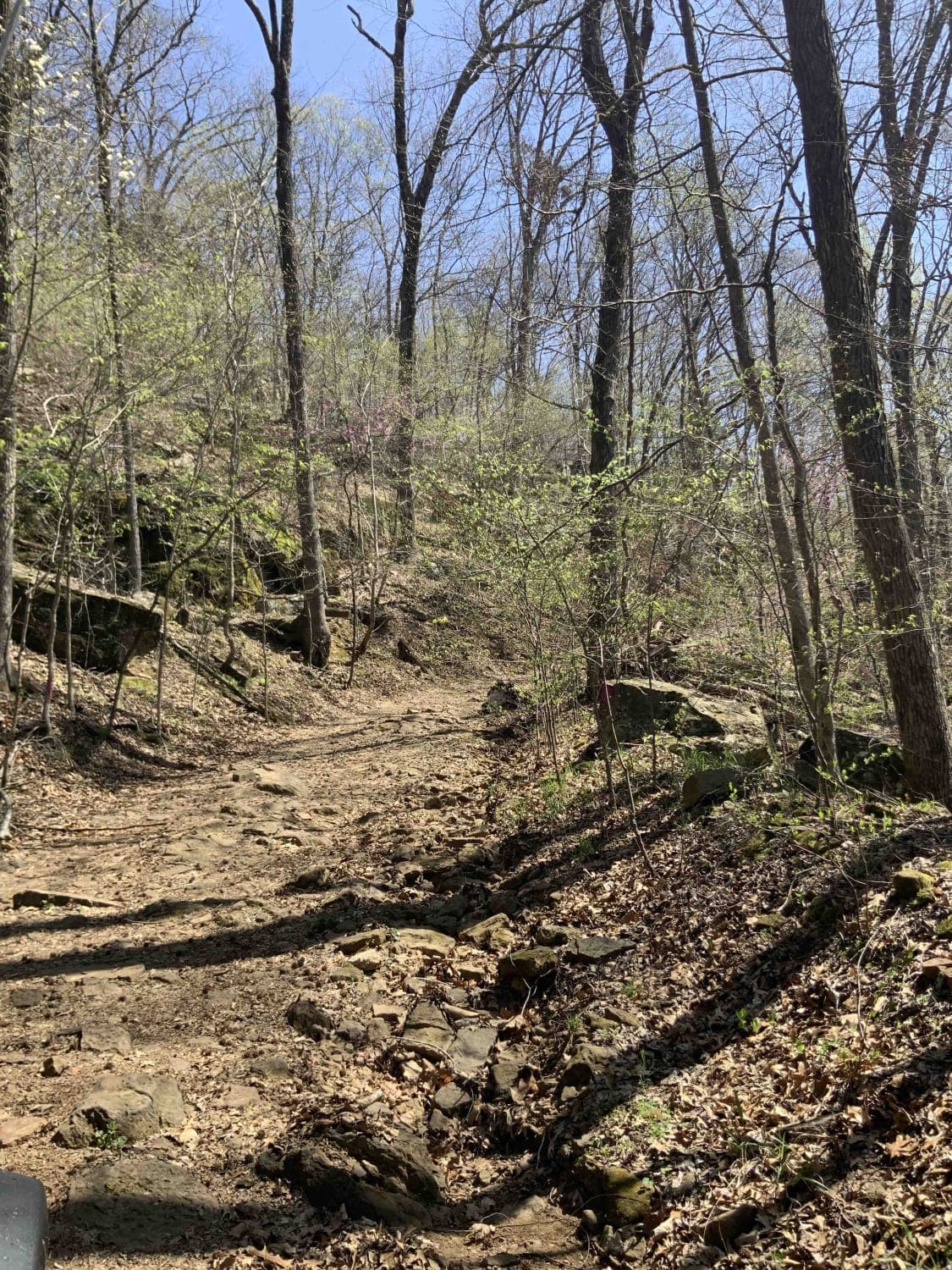
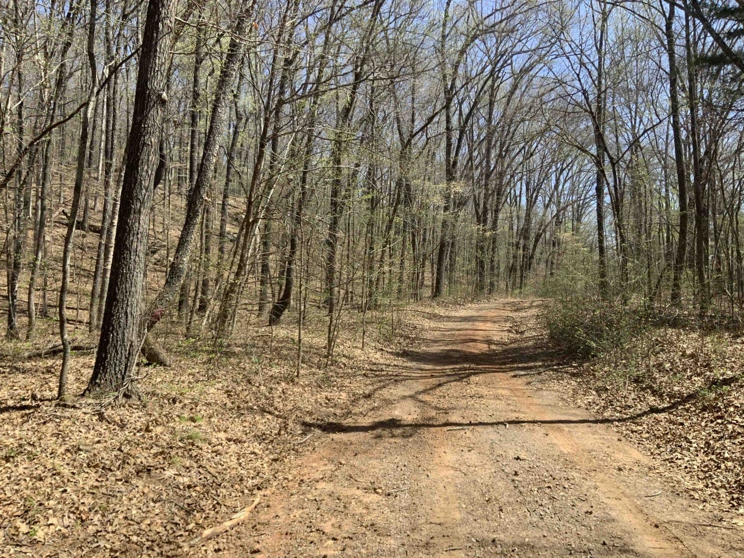
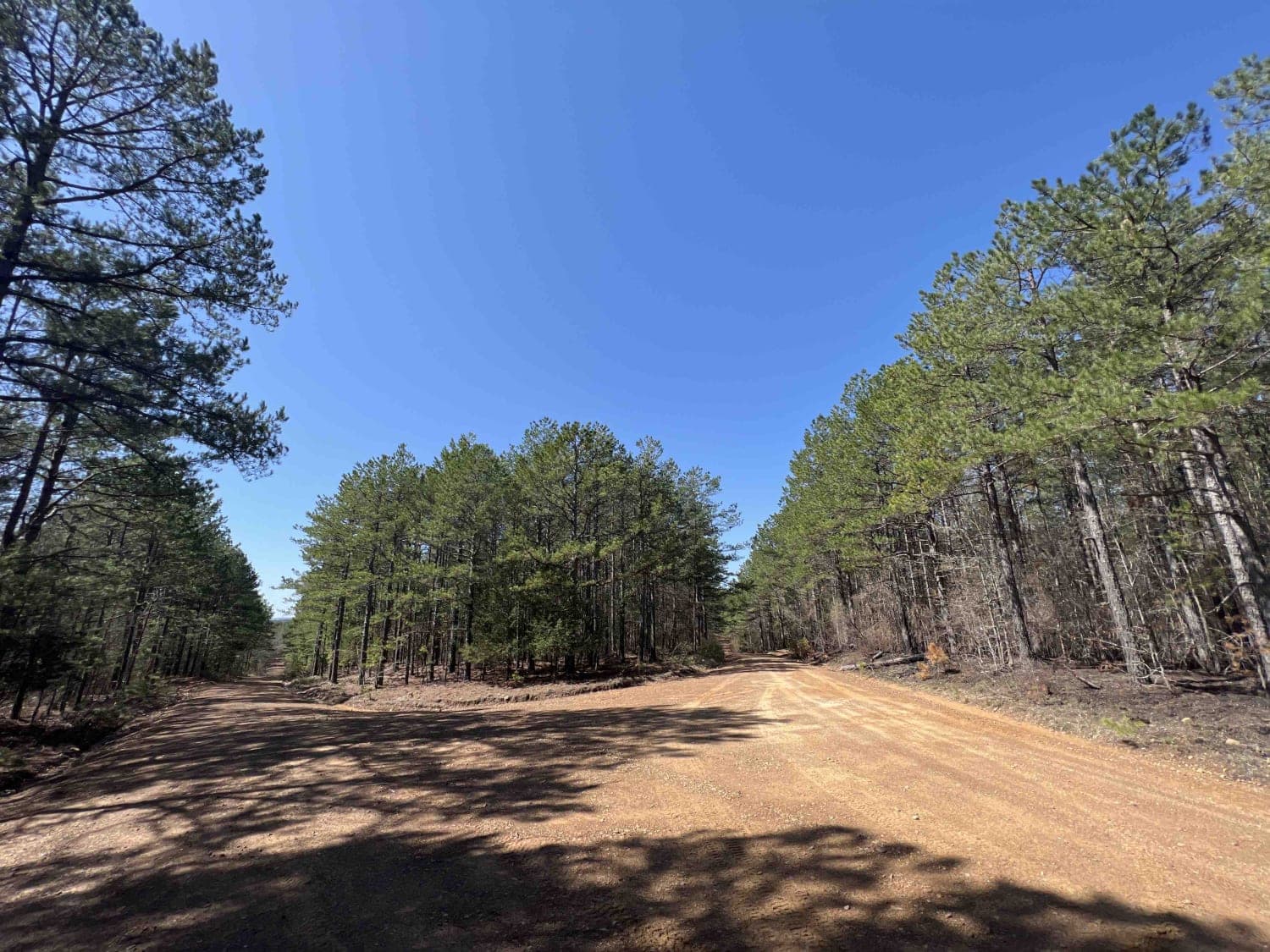
This road starts out as a maintained road and then changes to an unmaintained "right of way" road through private land. It then changes back to a maintained dirt road. There is a sign where the unmaintained section starts that lists the names of the families who own land along the road. It is fairly easy but there are some large rocks, including rock shelves, you need to cross. It looks rarely traveled but it's fun and a good way to connect to more trails east of Mountainburg. This is all private land so there is no camping or getting off the trail. Please take care of it so we can keep it open.
Photos of Warloop Road - 1567a
Difficulty
The only difficult part is the middle part of the trail and it's easily done with a stock 4x4. I remember spotting once in this section.
Status Reports
Popular Trails
The Arkansas Overland Route - TrailHawk Loop - Section 21 - Haus SP
Frog Bayou

Bois D'Ark WMA from HWY 67
Chula Mountain 4128
The onX Offroad Difference
onX Offroad combines trail photos, descriptions, difficulty ratings, width restrictions, seasonality, and more in a user-friendly interface. Available on all devices, with offline access and full compatibility with CarPlay and Android Auto. Discover what you’re missing today!
