Meadow & Gauley Rivers Access Trail
Total Miles
18.2
Technical Rating
Best Time
Spring, Summer, Fall
Trail Type
Full-Width Road
Accessible By
Trail Overview
This trail was developed from old railroad tracks, making it perfect for various activities. There are plenty of primitive camping sites along the river. There are two old railroad tunnels and multiple railroad bridges you can cross and hike, bike, drive, or ride to. There is plenty of swimming access along the river and multiple places to fish and kayak. There is access to waterfalls along this trail and on secondary trails. There are good overlanding opportunities as some sites are accessible by vehicle. Pack out what you bring in and leave it better than you found it.
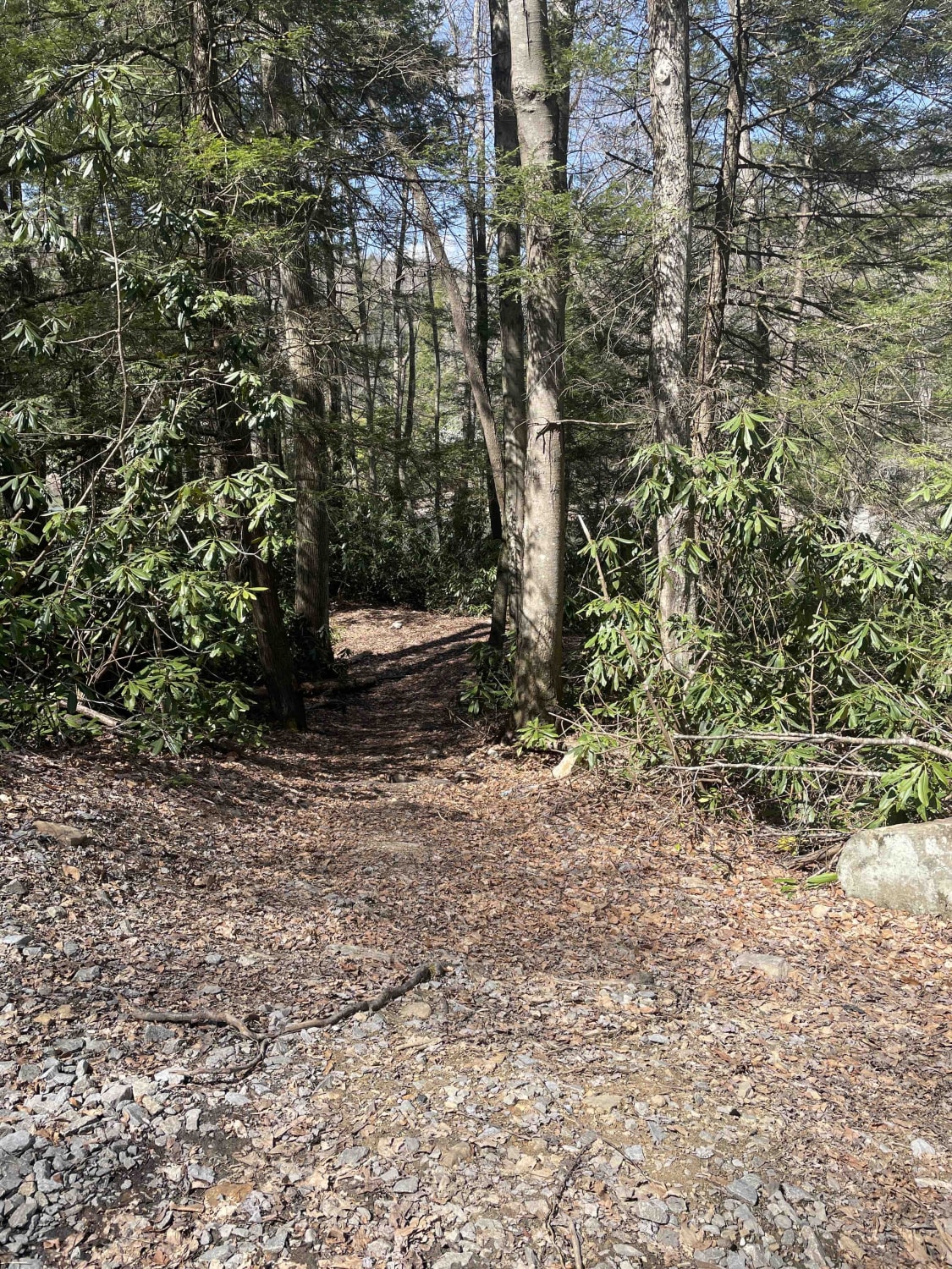
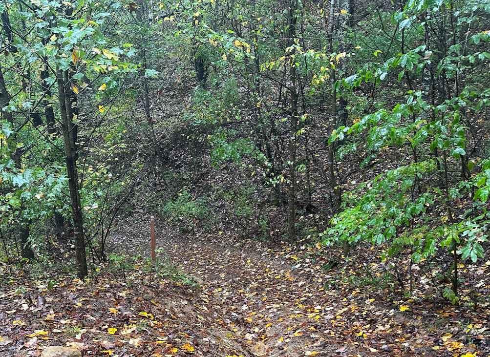
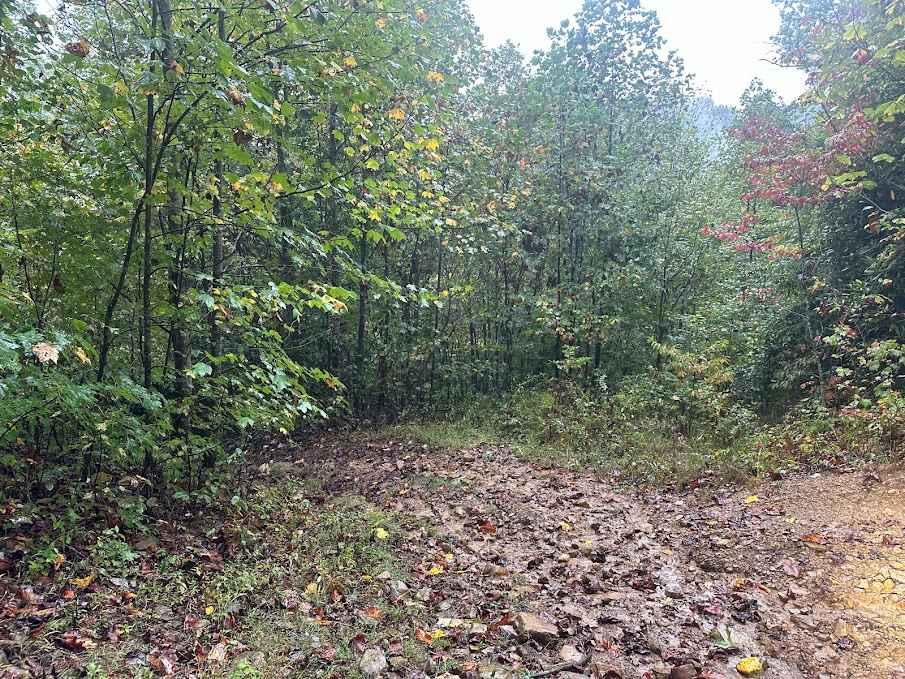
Photos of Meadow & Gauley Rivers Access Trail
Difficulty
Mostly flat until you have reached designated areas on trail. Once reached it is highly recommended that only 60" wide or less UTV, ATV, Dirtbike, or hiking continue.
History
Mostly repurposed railroad grade trail
Status Reports
Popular Trails

Amazon Black
The onX Offroad Difference
onX Offroad combines trail photos, descriptions, difficulty ratings, width restrictions, seasonality, and more in a user-friendly interface. Available on all devices, with offline access and full compatibility with CarPlay and Android Auto. Discover what you’re missing today!


