Cinnamon Pass
Distance
24.2 mi
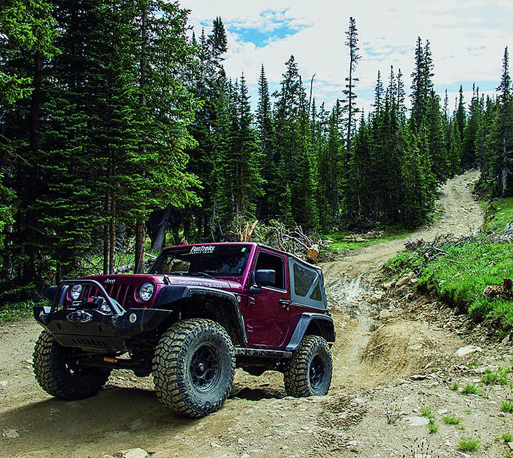
Technical Rating
Easy
Best Time
Summer, Fall
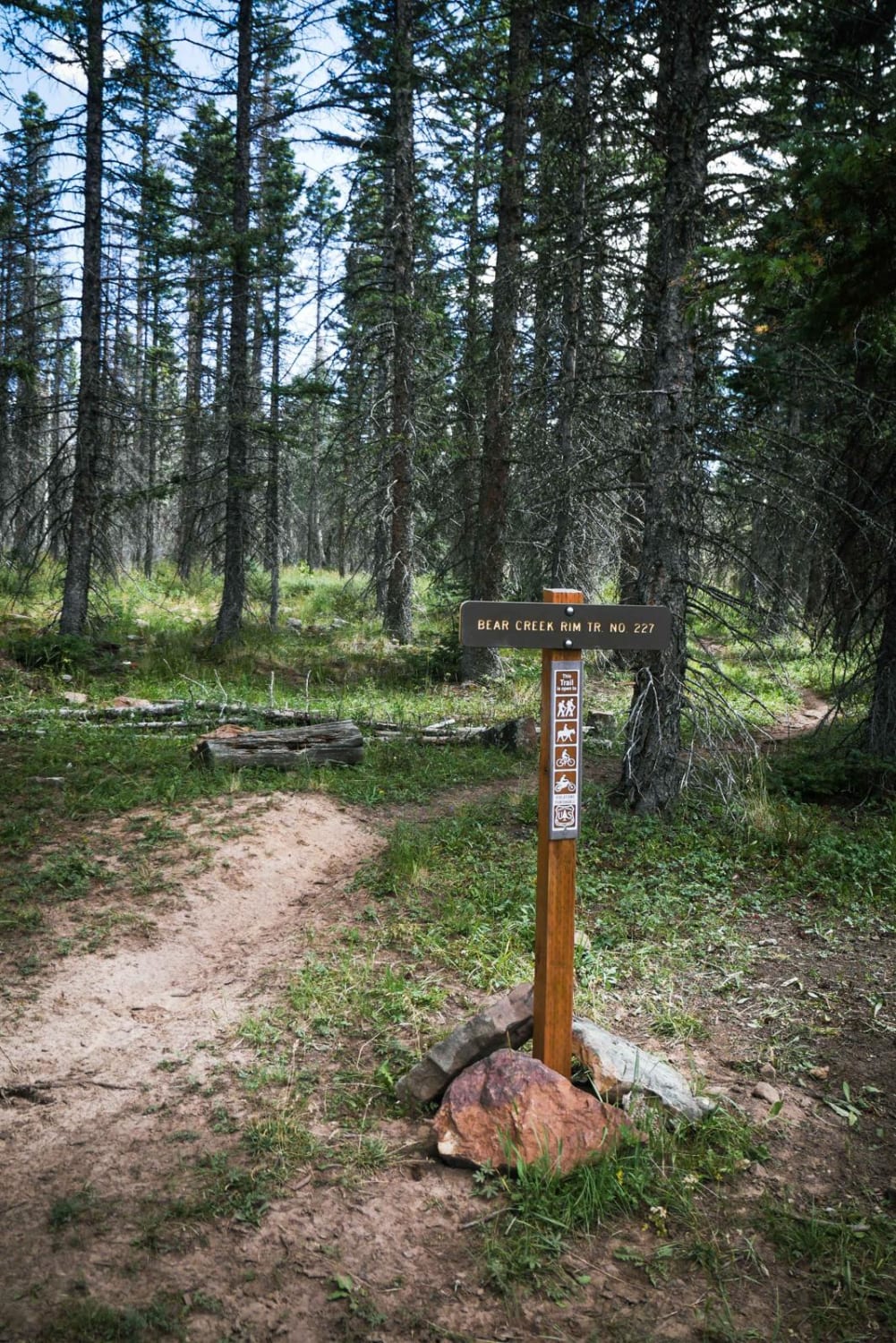
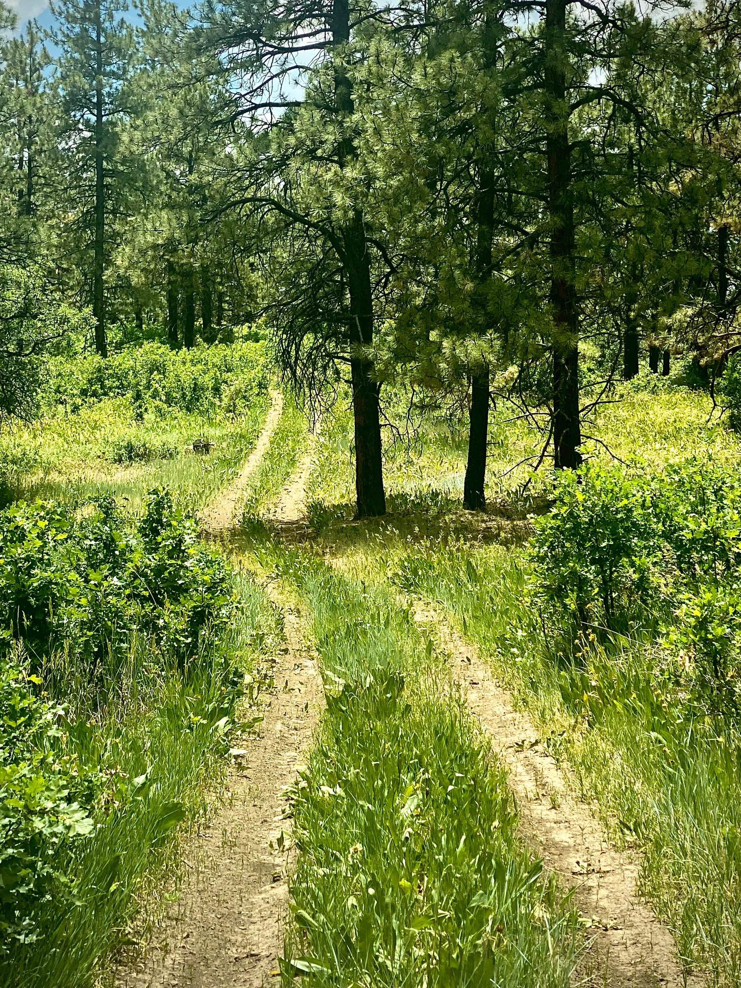
Trail Type
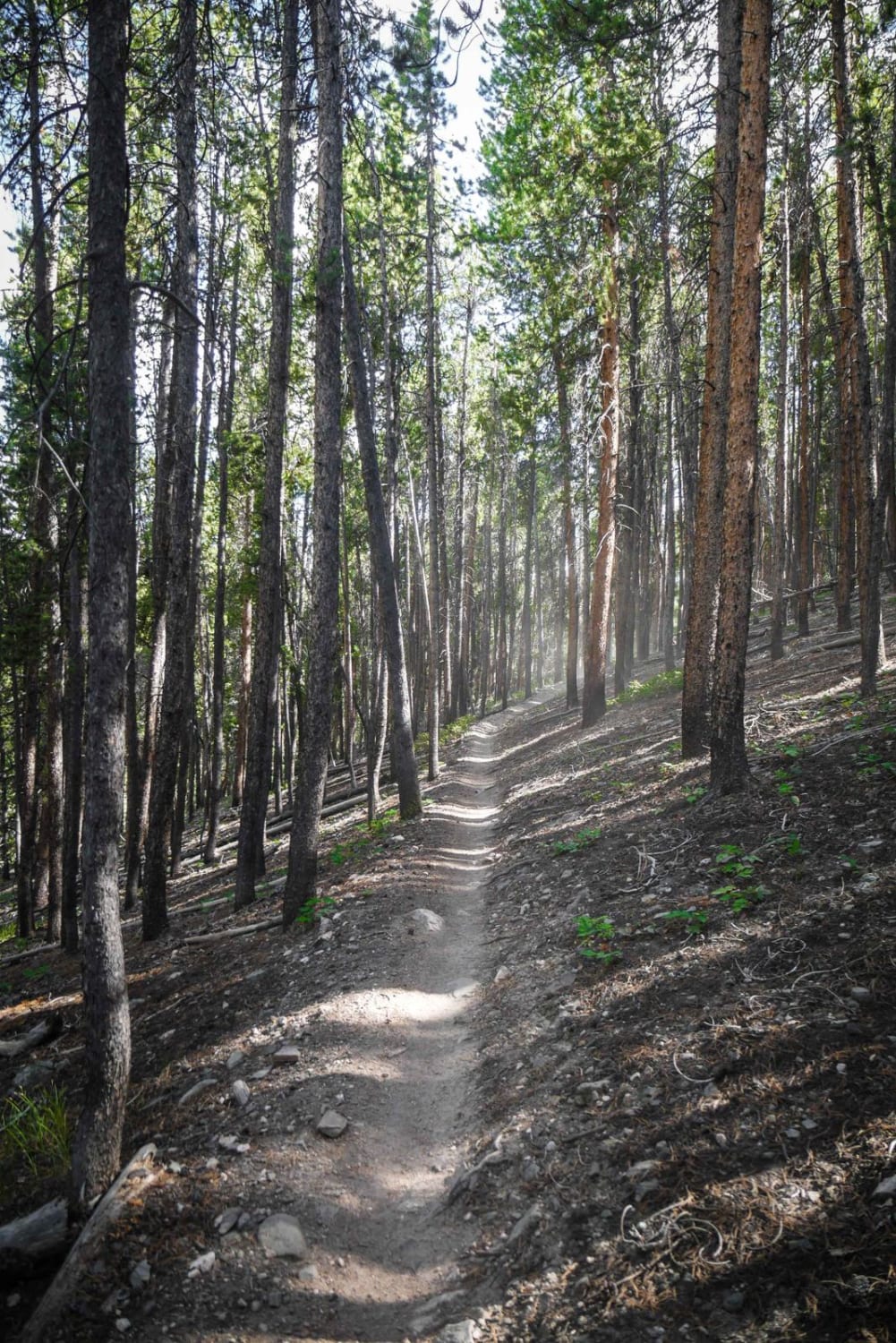
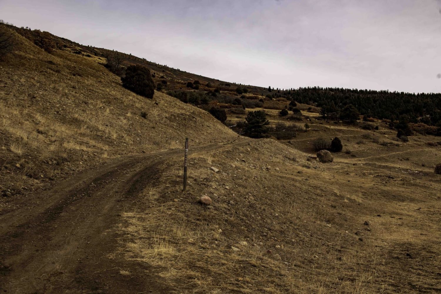
Full-Width Road
Accessible By
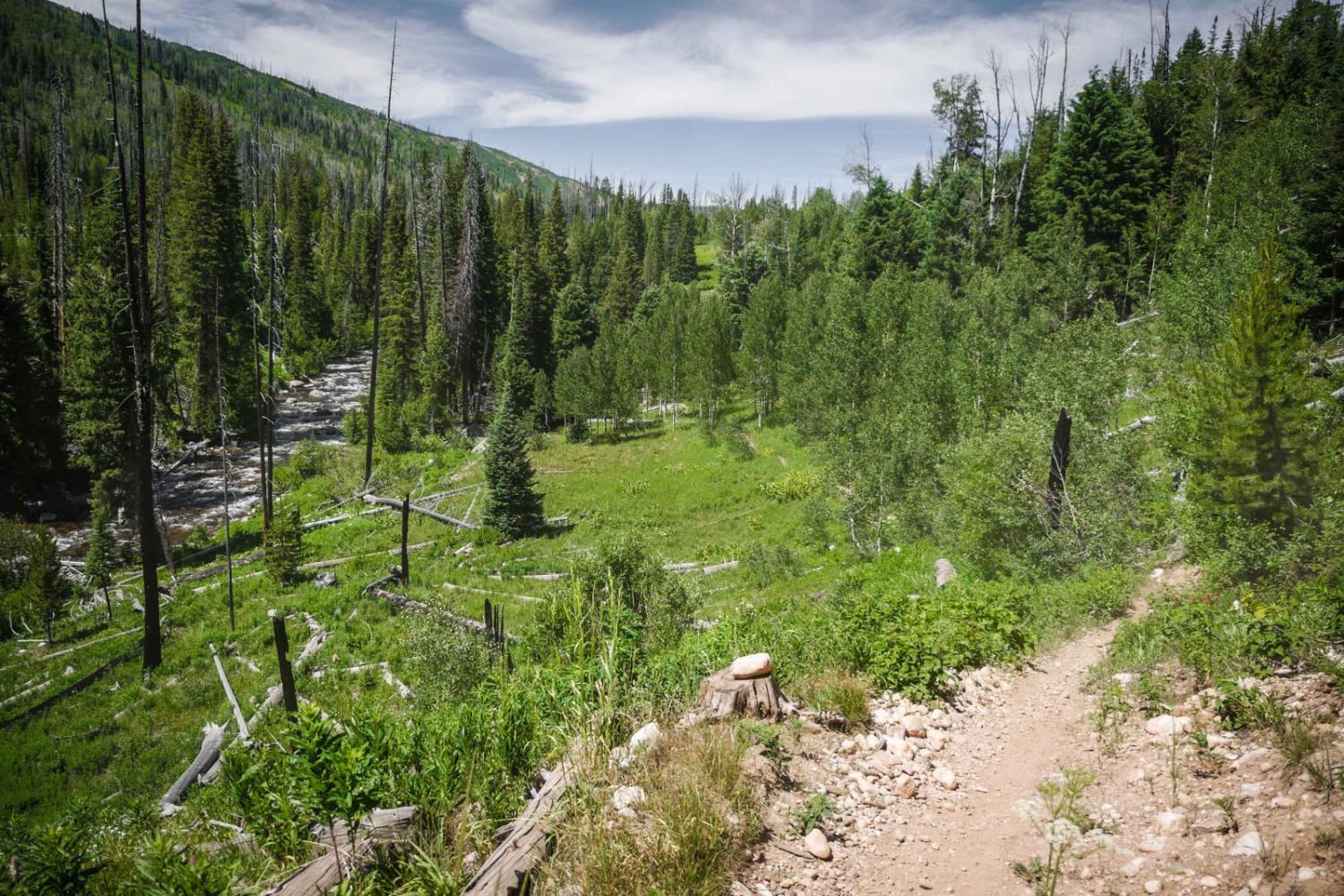
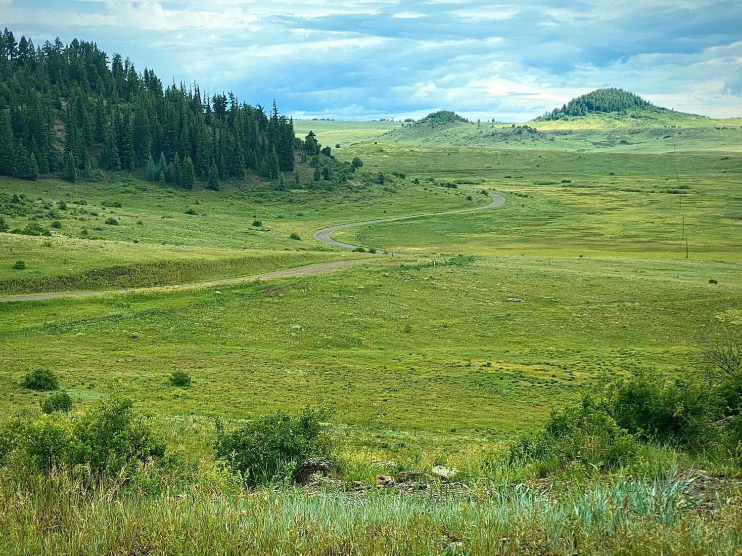
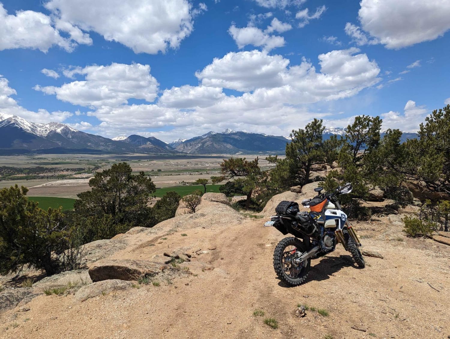
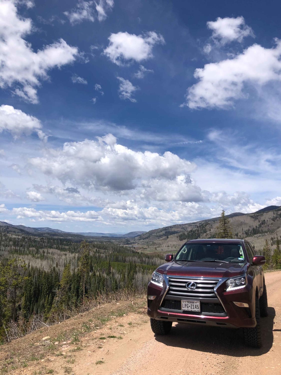
Trail Overview
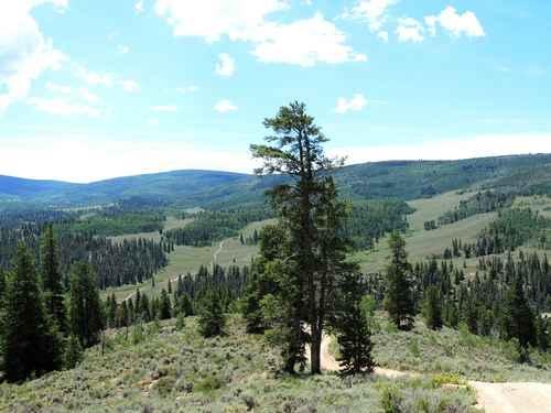
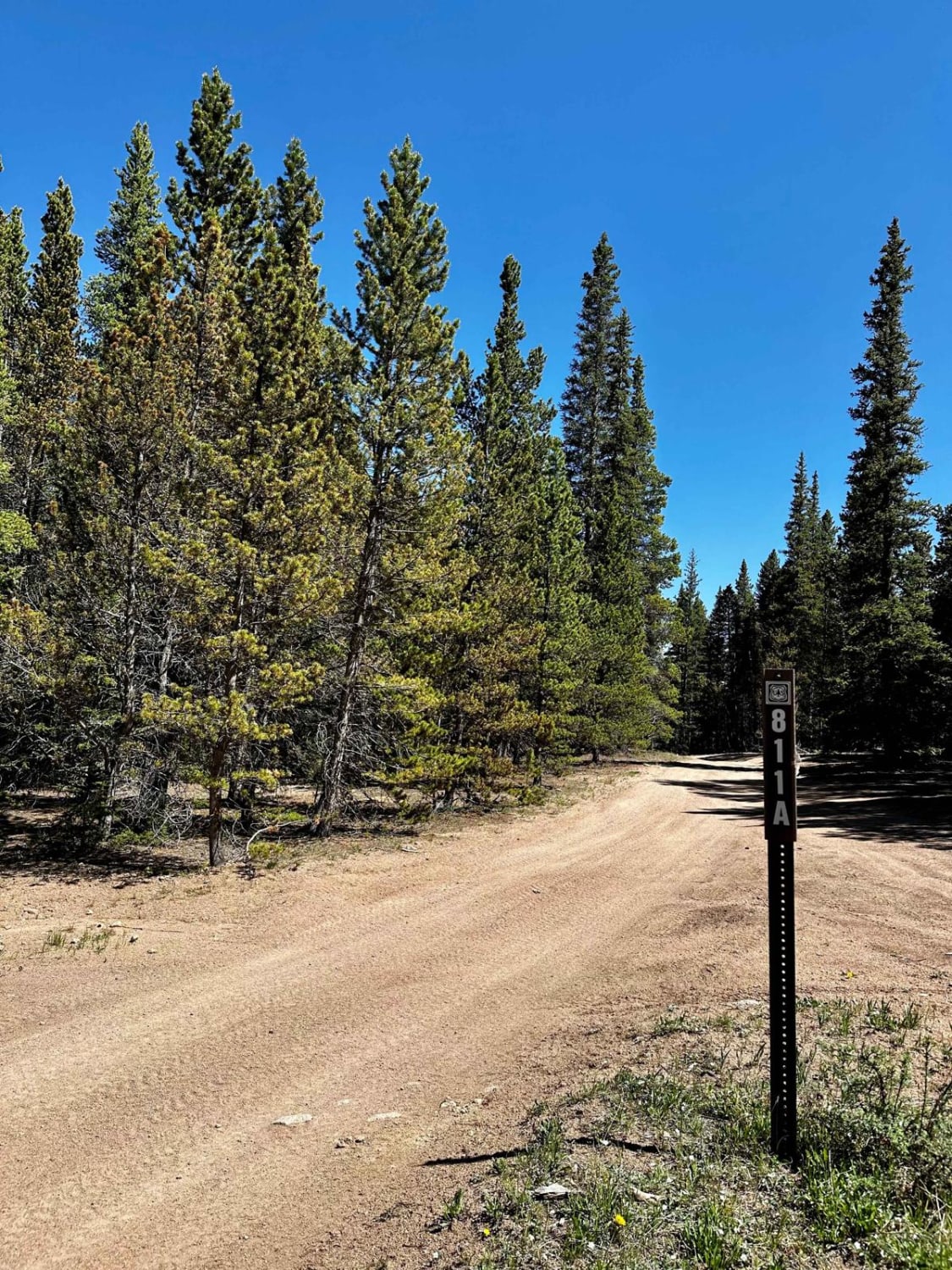
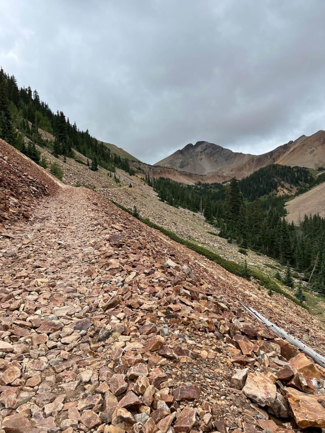
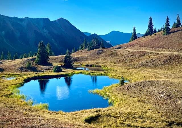
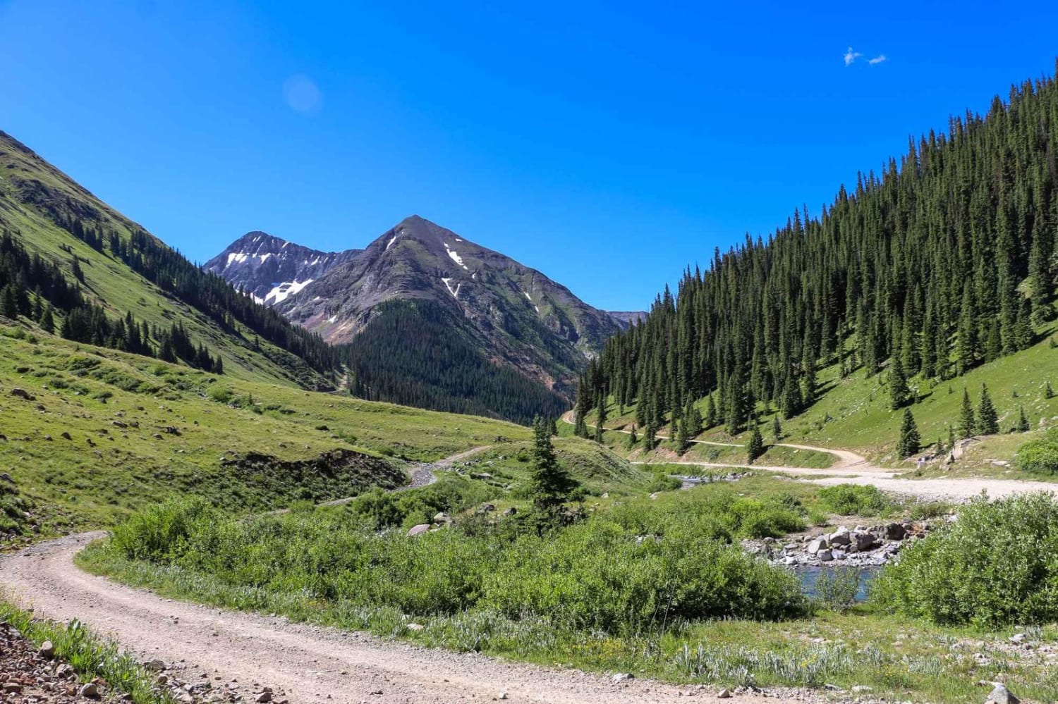
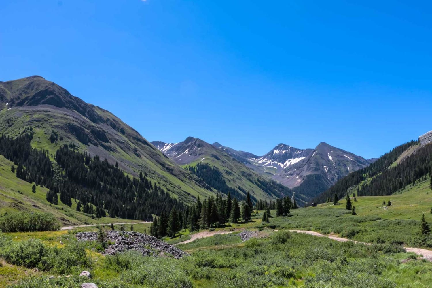
Enjoy this section of the famous Alpine Loop, which can be combined with Engineer Pass. Take Wager Gulch up to Carson Ghost Town, and follow Cinnamon Pass Road up to American Basin. Take a moment to enjoy the wildflowers this area is known for. Staging is available on the western side across from Eureka Campground. The east side has staging area options.
Weather
Status Reports
Addi Peze
Oct 27, 2024
4x4
Obstructed
Deep Snow
Made it well above 12,000 feet but got turned around by wind blown snow about a quarter mile from the top. More snow is coming in the 28th and 29th so you probably can’t make it over anything over to red mtn pass for the rest of the year.
R Staz
Sep 19, 2024
2012 Jeep Wrangler
Open
Started in Lake City around 3 pm.. We did the Alpine Loop in 1 day and expected Cinnamon to be similar to Engineer. It was quite a bit quicker. Not many on the trail at this time of day.
Trent Tillett
Sep 18, 2024
2020 Jeep Gladiator
Open
Normal
Cinnamon is a super pretty pass. Pretty tame, only slightly challenging obstacles are on the switchbacks. However, I am a beginner and it was just fine.
Art Balajthy
Sep 18, 2024
2015 Jeep Wrangler
Open
Normal
Lake city to top of cinnamon pass and back. Beautiful views, golden eagle, elk. Aspens turning. Road had puddles but not too muddy. Good driving conditions.
Go Farther
Try onX Offroad Elite for free for a week — no strings attached. Get access to thousands of off-road dirt trails and snowmobile trails across the nation. View your favorite zones in 3D. Send trails to friends. Start planning the trip of a lifetime now.
Nearby Trails