Rattlesnake Gulch to Toquerville Falls
Total Miles
6.5
Elevation
1,129.10 ft
Duration
4 Hours
Technical Rating
Best Time
Spring, Summer, Fall
Trail Overview
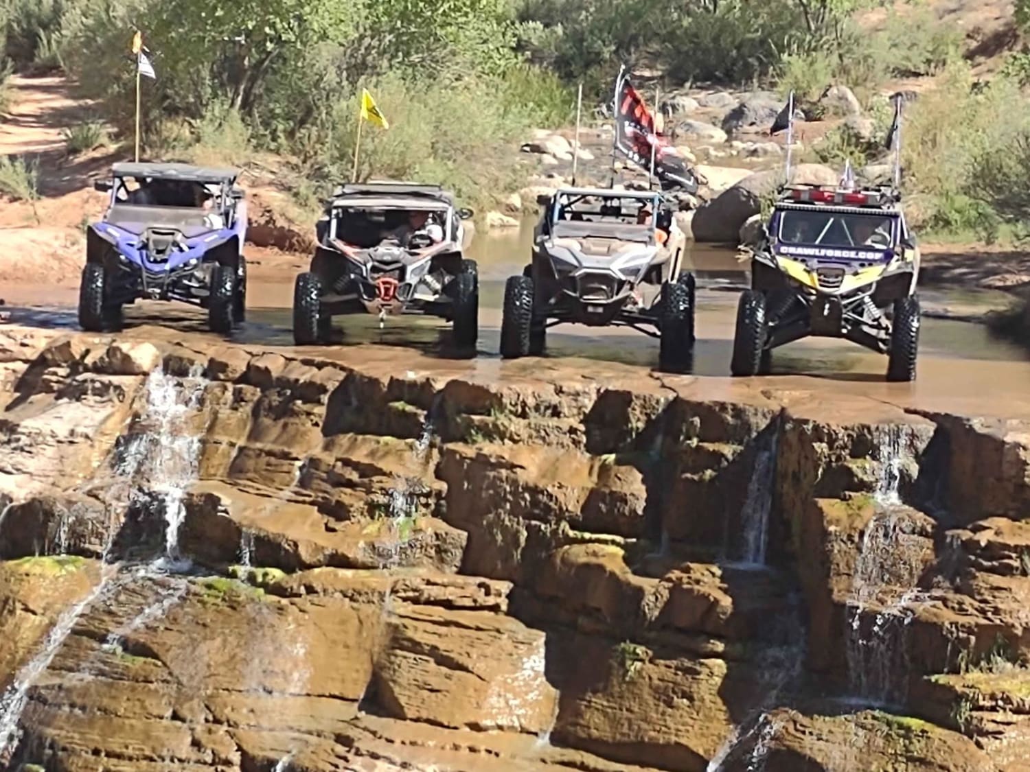
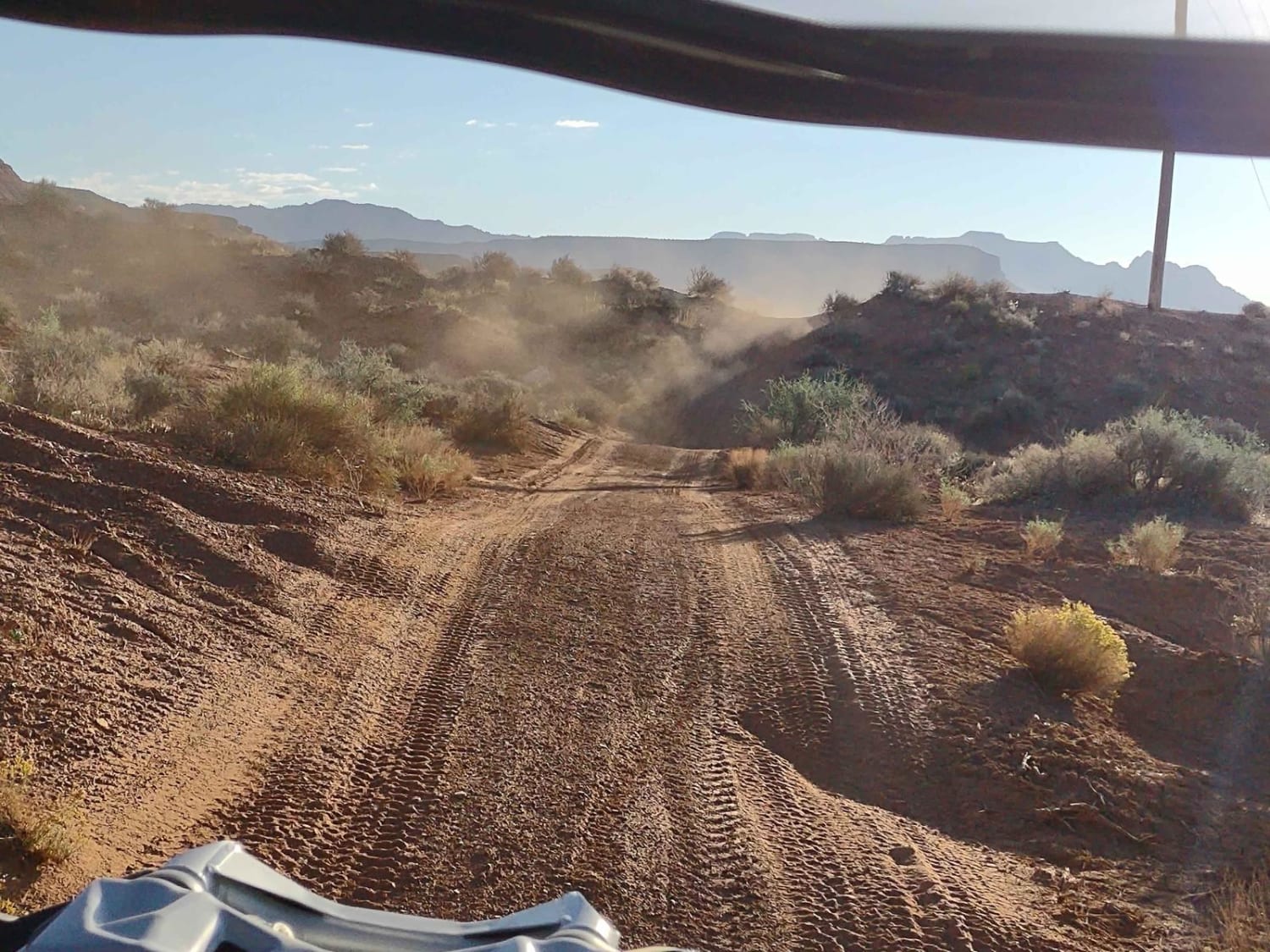
A very challenging 6.4-mile trail that goes through the canyon, along Laverkin Creek, to the Toquerville Falls Trail, which takes you on to the Falls above Toquerville/Hurricane, UT. You cross the creek a minimum of 40 times, and there are places where you drive up through the creek. After a heavy rain, or in the springtime, these water crossings will be deep and fast. (Trail Rating of 7 would fit then.) There are big rocks, areas of erosion, and mud at some of the crossings. There is one roughly 6-foot vertical wall that you go down on your way up to the Falls, and you have to climb it on your way out. Our group had two YXZs, one Razor, and one CanAm. We had tires ranging from 30 to 35" and we all made it back up the wall. The 35" tires had the easiest time in the canyon. The others put their skid plates to the test in places. We labeled it a "dirt" adventure, but along the creek, it's mostly a "rock" and "water" adventure. The Falls is a favorite tourist spot, and it is accessible from a road, so it can get a bit crowded at the top, but only the truly adventurous will go through this canyon. The trail at the bottom is mostly dirt; at the top, it's mostly rocks. There is a little off-camber, but nothing too drastic. In most places, there is room to get over and let an oncoming vehicle pass. Photo opportunities abound all along the creek. If you bring your suit, you can swim in the creek right below the Falls or further down the canyon. Bring a picnic lunch to enjoy at the Falls.
Photos of Rattlesnake Gulch to Toquerville Falls
Difficulty
Late in the fall, this trail is a 6. After a heavy rain or in the early spring, it could be a 7. There are lots of boulders, some slick rocks, areas of off-camber driving and a LOT of water crossings. There is one 6-foot vertical wall that you go down on your way up to the Falls, and you climb on your way back down the canyon. We had two YXZs, one Razor and one CanAm in our group, and our tires ranged from 30" to 35". We all made it up the vertical wall. The 35" tires were a big plus in this canyon; anything less tested their skid plates on a lot of rocks. Some of the water crossings are muddy, there are areas where you have to drive up the creek for a ways, and there are areas of erosion and off-camber driving. It's not really fair to say this is a dirt adventure, but primarily dirt/rock/water.
Status Reports
Popular Trails
Paiute ATV Trail Beaver Creek over the Tushars
Soldier Canyon to Rex's Reservoir Road
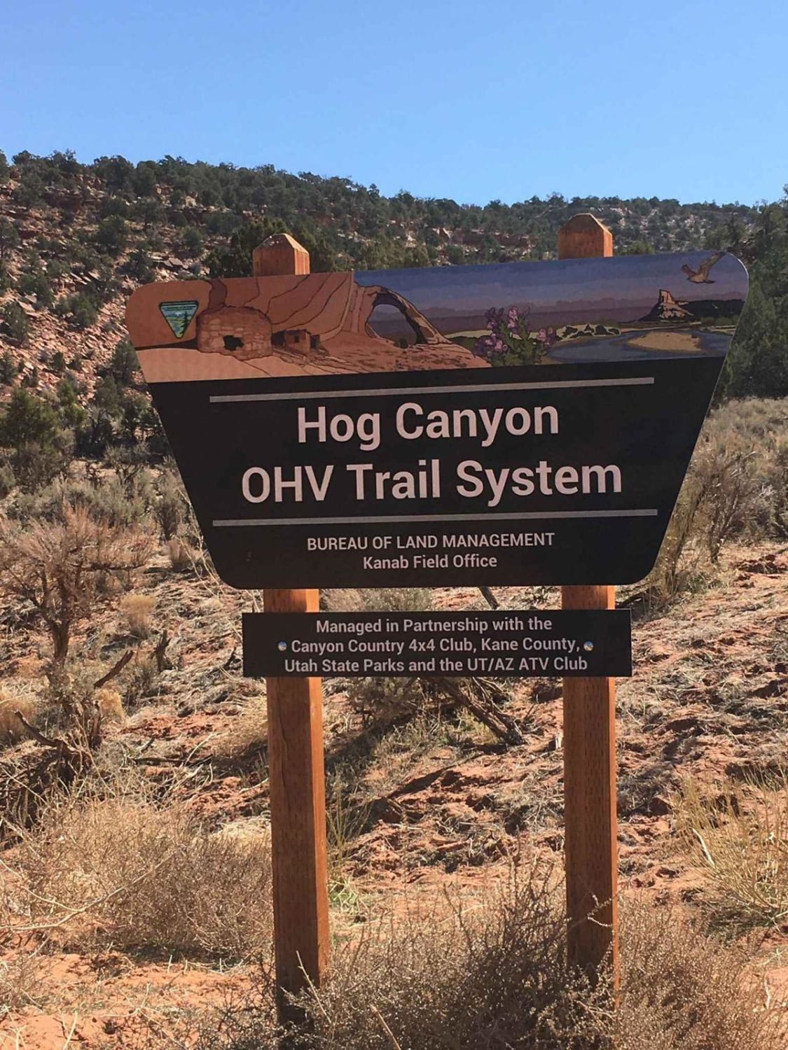
Hog Canyon-BLMHC2

Slickrock 4
The onX Offroad Difference
onX Offroad combines trail photos, descriptions, difficulty ratings, width restrictions, seasonality, and more in a user-friendly interface. Available on all devices, with offline access and full compatibility with CarPlay and Android Auto. Discover what you’re missing today!
