Mill Canyon (2040)
Total Miles
5.6
Elevation
2,532.74 ft
Duration
0.75 Hours
Technical Rating
Best Time
Summer, Fall
Trail Overview
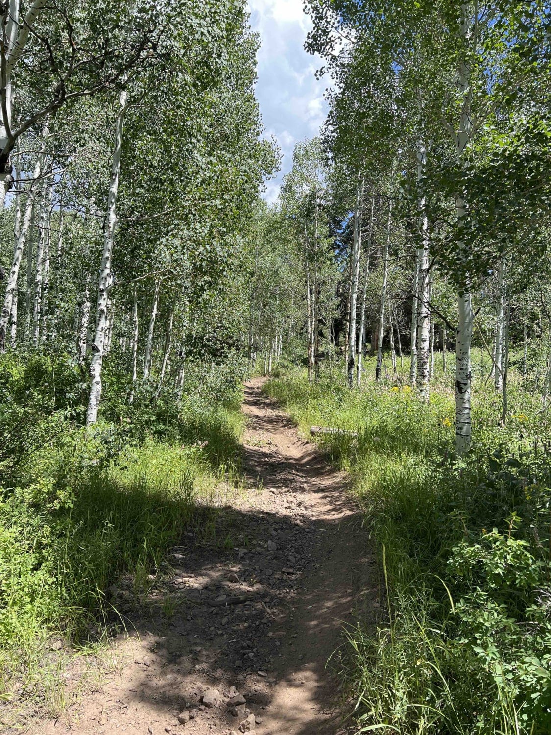
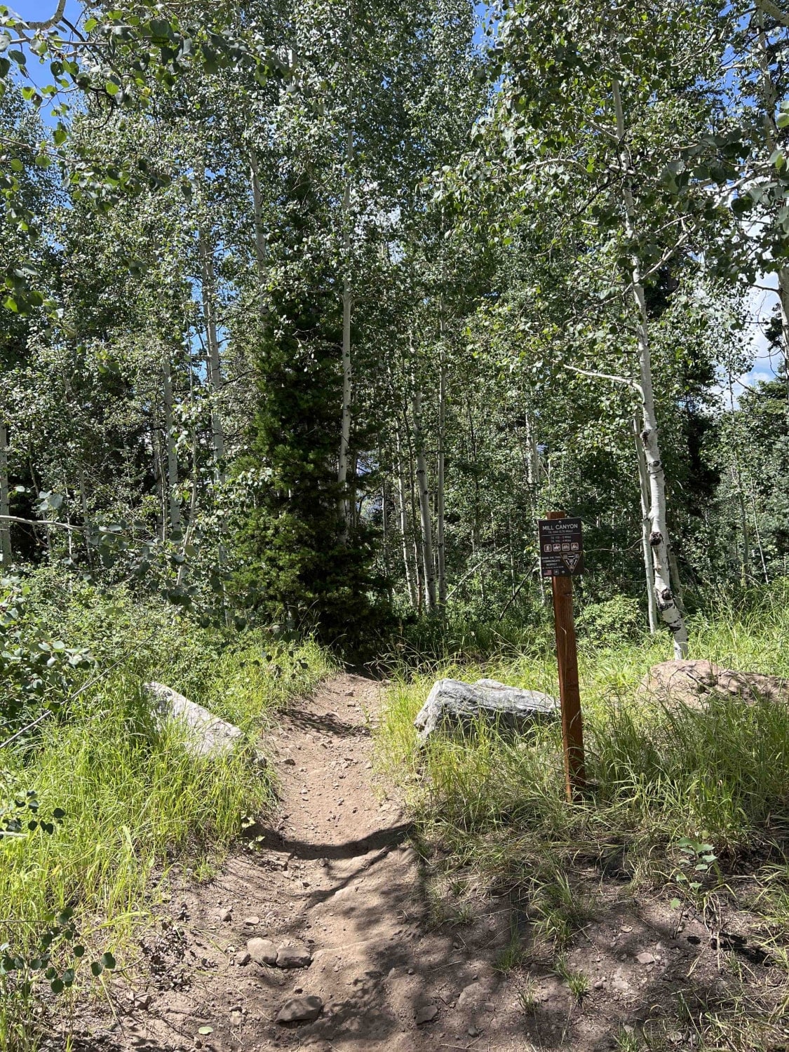
Mill Canyon starts near Tibble Fork Reservoir, where it crosses a wooden bridge and runs through a stream. It climbs approximately 1,800 feet up to Ridge Trail. The lower section has several stream crossings which can be pretty deep in the melt season. There are embedded rocks around these crossings and in other areas along the trail. About halfway towards Ridge Trail, the track becomes narrow and twisty with tight, bermed turns in thick woods. There can be plant overgrowth in this area and cut logs protruding into the trail.
Photos of Mill Canyon (2040)
Difficulty
Embedded rocks with deep stream crossings raise the rating of this trail.
Popular Trails
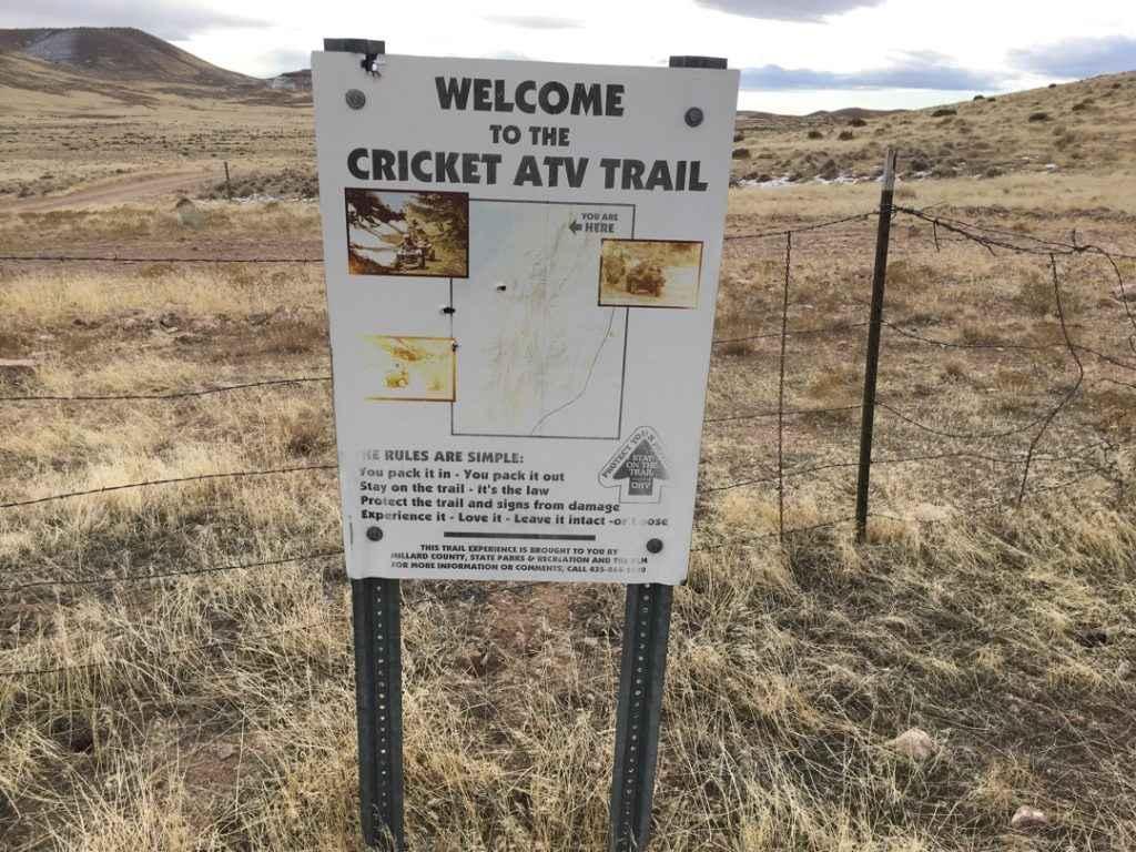
Cricket Mountain OHV Route 7
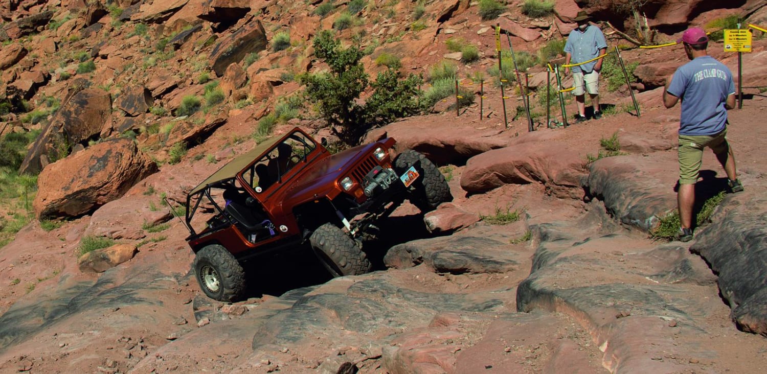
Pritchett Canyon
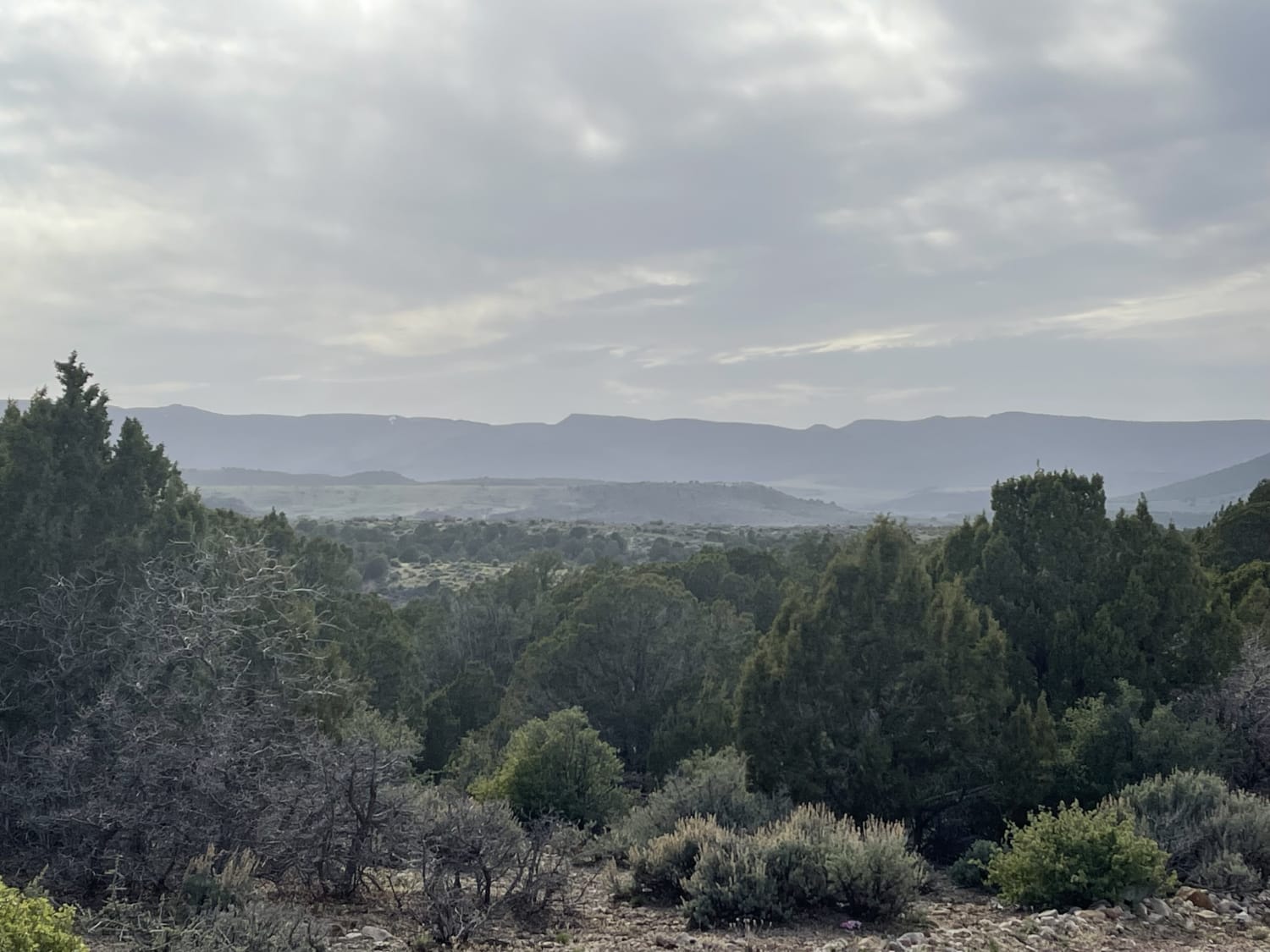
Twin Spring To Town
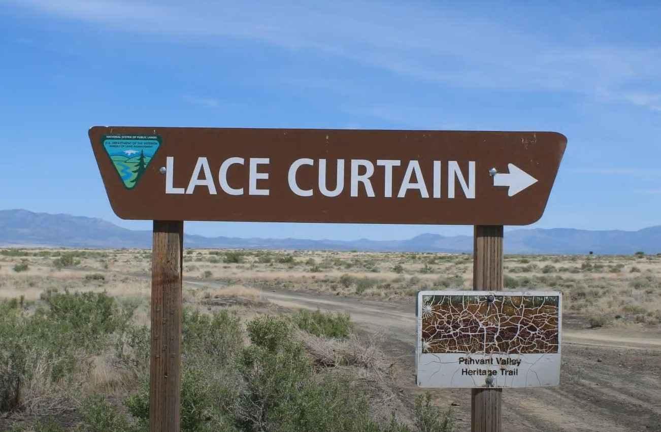
Pahvant Butte Loop
The onX Offroad Difference
onX Offroad combines trail photos, descriptions, difficulty ratings, width restrictions, seasonality, and more in a user-friendly interface. Available on all devices, with offline access and full compatibility with CarPlay and Android Auto. Discover what you’re missing today!
