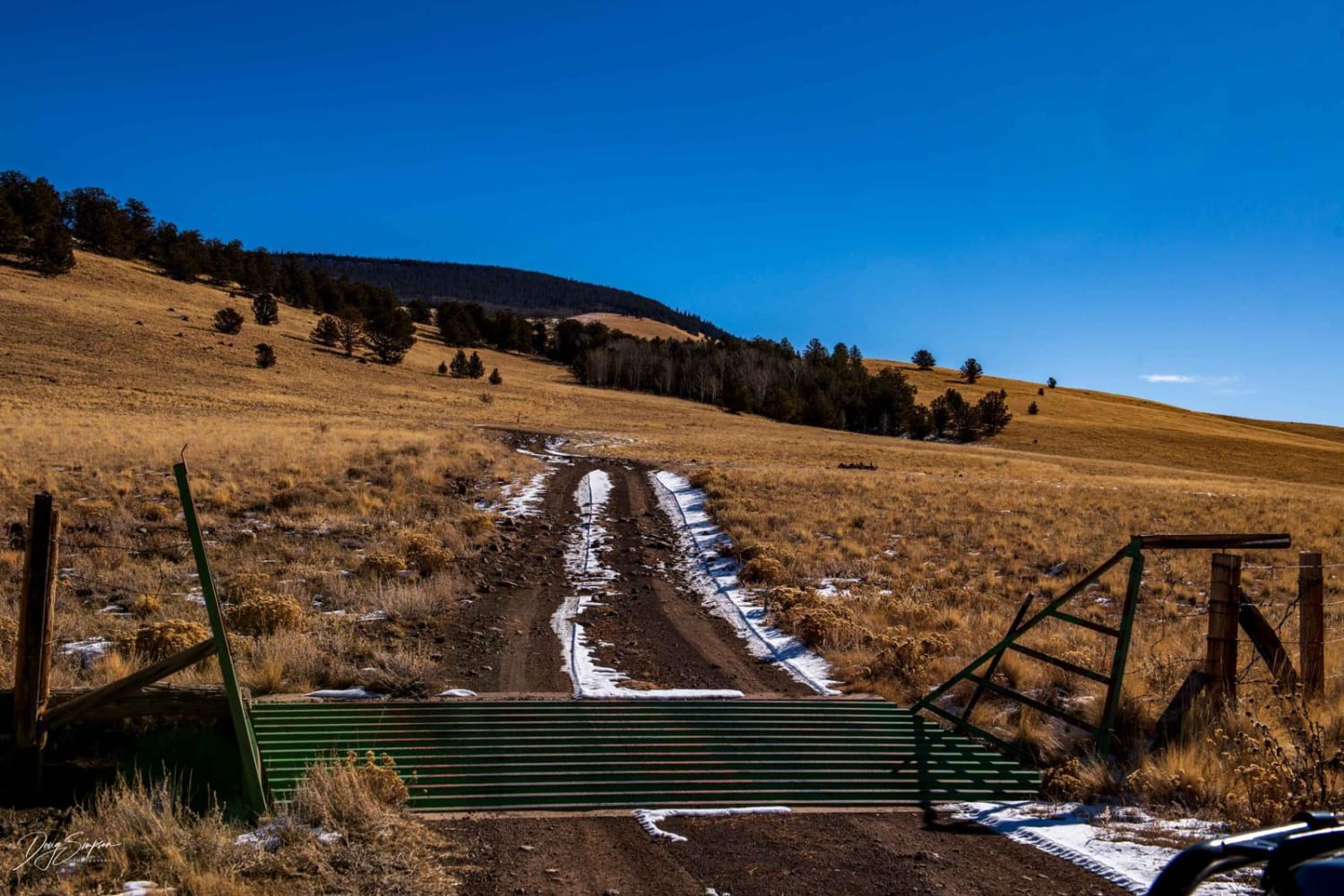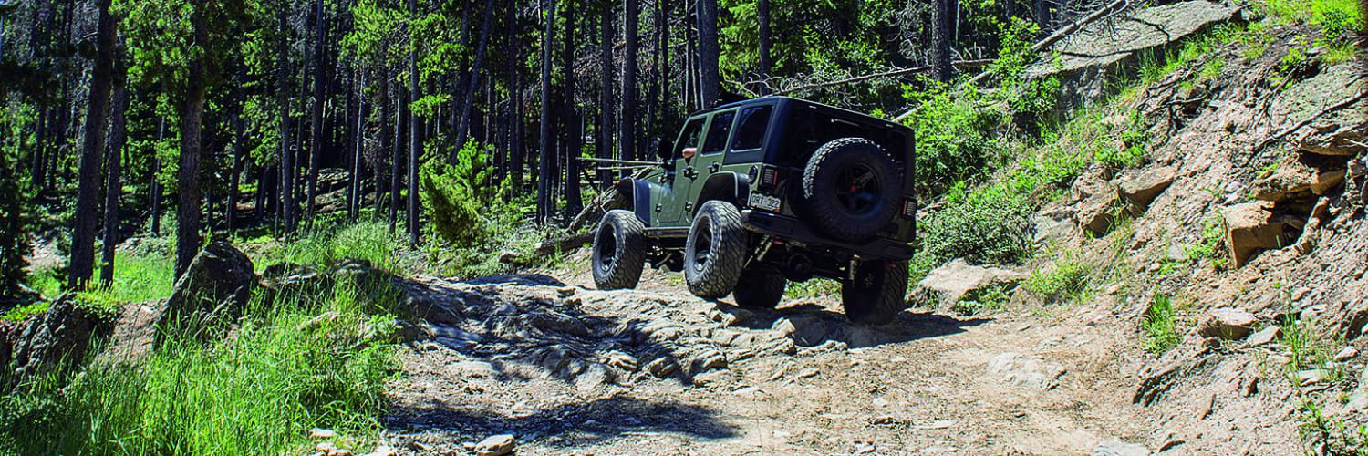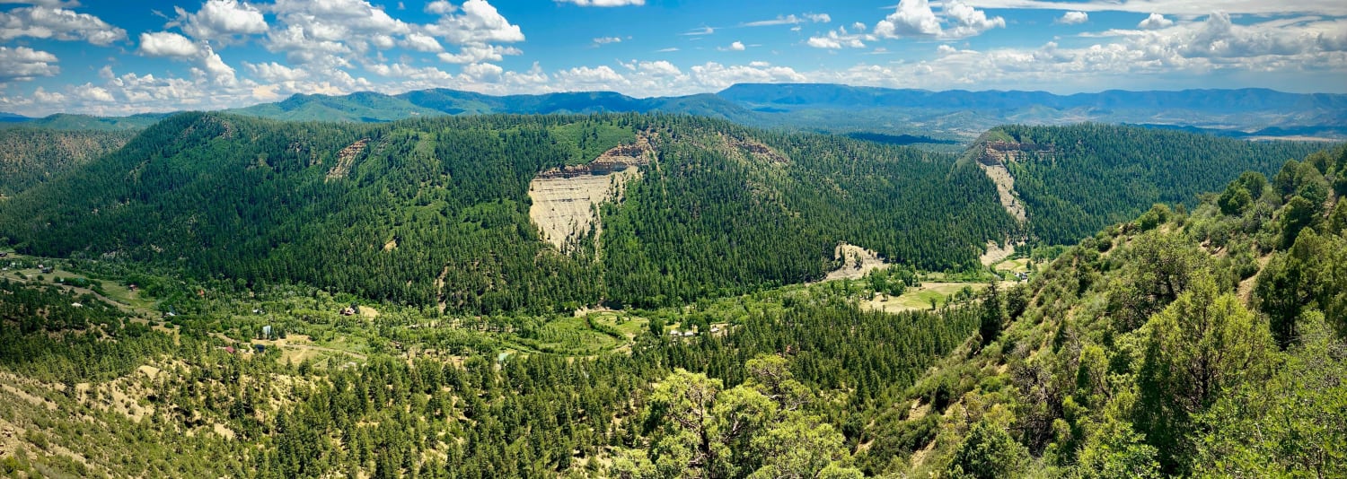
Hayden Pass
Distance
16.1 mi
Technical Rating
Moderate
Best Time
Summer, Fall
Trail Type
Full-Width Road
Accessible By
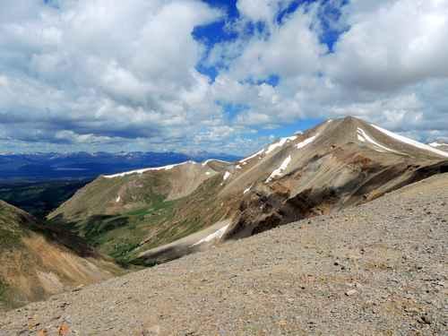
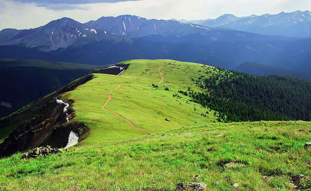
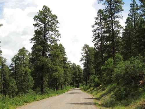
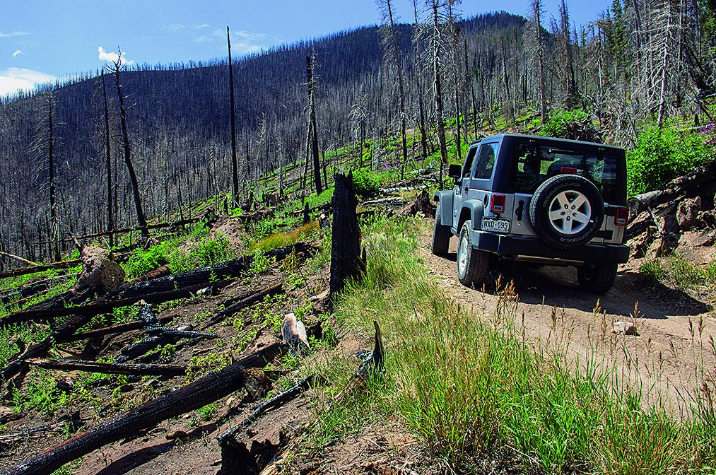
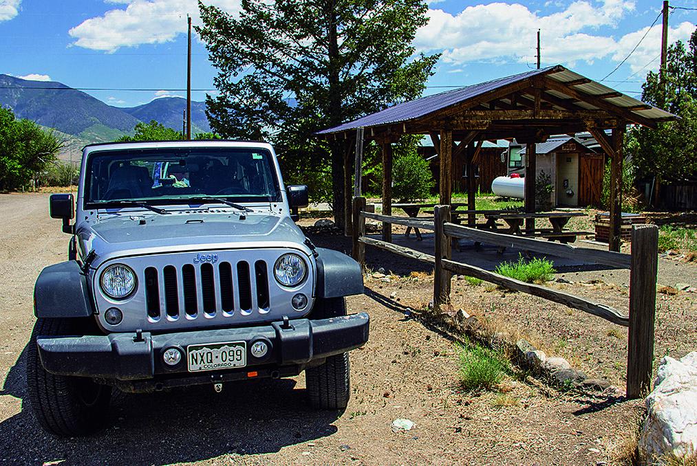
Trail Overview
This is a fun trail that starts climbing the north face at the Forest Service campground. The area is in recovery from a fire, and some wildflowers are beginning to grow back. If you want to picnic, you'll find a great little spot just left of Villa Grove.
Weather
Status Reports
Ryan Jordan
Nov 03, 2024
4x4
Obstructed
Deep Snow
Impassable Water Crossing
Snow melt that turned into 4” ice. No way around it
Thomas Hastings
Oct 12, 2024
2018 Ford F-Series
Open
Normal
Aaron Hancock
Sep 06, 2024
SxS
Open
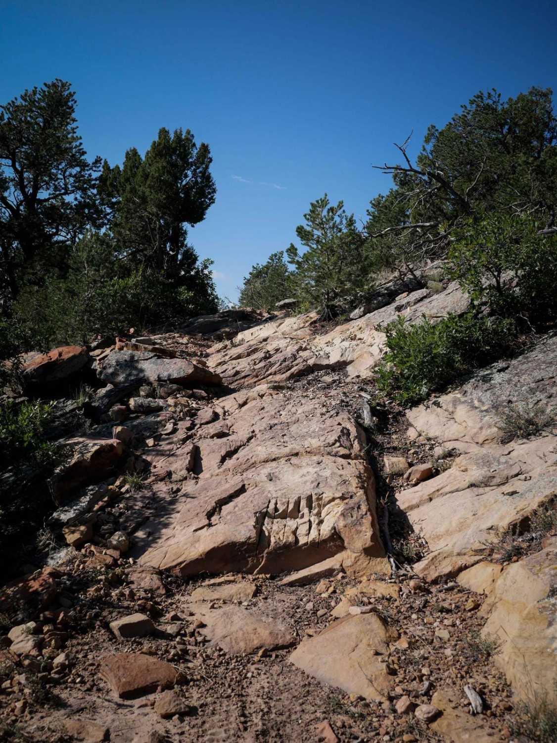
VERY rocky on the south half.
Gleb M
Aug 03, 2024
2016 Toyota 4Runner
Open
Normal
This was my first off roading experience. It was not easy. Stock 4Runner SR5 with Falken Wildpeaks A/T4W, TRD skid plate, and 4 Low did the job. A lot of large rocks, tight corners, and narrow parts. Get ready to scratch your rig. East side was the most challenging.
Go Farther
Try onX Offroad Elite for free for a week — no strings attached. Get access to thousands of off-road dirt trails and snowmobile trails across the nation. View your favorite zones in 3D. Send trails to friends. Start planning the trip of a lifetime now.
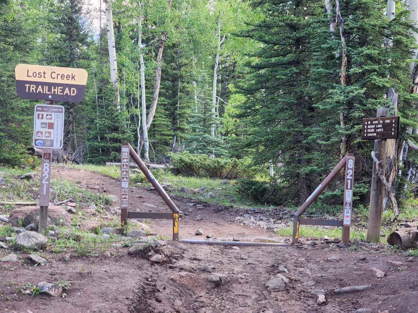
Nearby Trails
Powerline Wash Loop
Total Miles
9.9
Tech Rating
Moderate
Best Time
Fa / Su / Sp