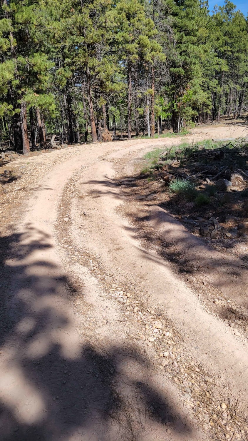
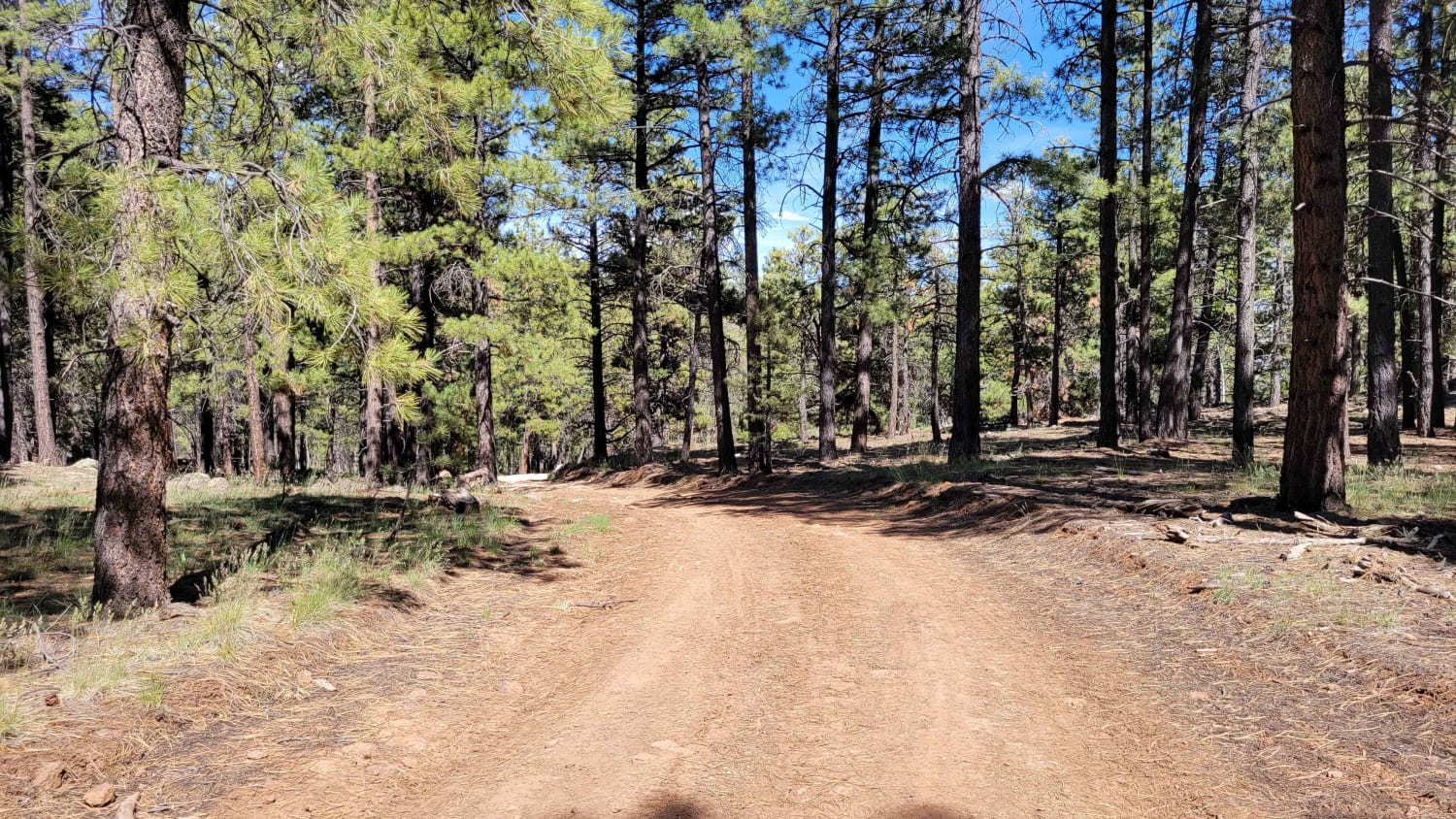
Uinta Loop 2
Total Miles
1.5
Elevation
2,514.63 ft
Duration
--
Technical Rating
Best Time
Fall, Summer
Trail Overview
This is a short but more challenging trail. According to the Markagunt OHV System Map, this ranks as a blue (advanced) trail. Open to SXS or smaller machines. There are some deep erosion spots (ruts) and large rocky sections throughout the trail, as well as a short but fairly steep hill towards the (West) end of the trail. If running the trail from East to West, you'll ascend the hill. Trail #45 of the Markagunt OHV System.
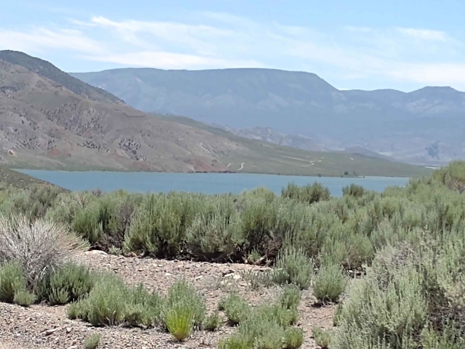
Photos of Uinta Loop 2
Difficulty
There are some deep erosion spots (ruts) and large rocky sections throughout the trail, as well as a short but fairly steep hill towards the (West) end of the trail.
Status Reports
Popular Trails
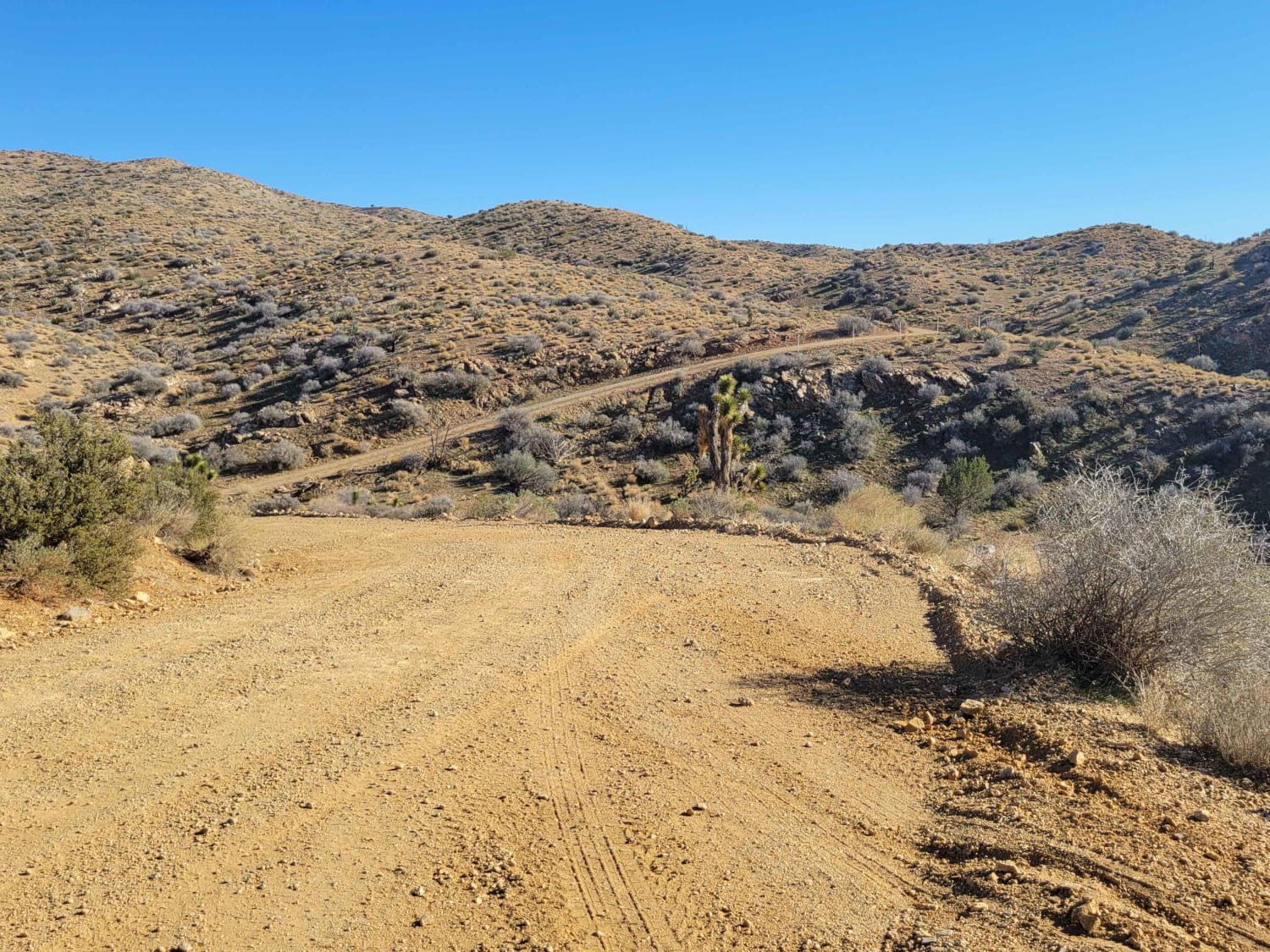
West Mtn Side Trail
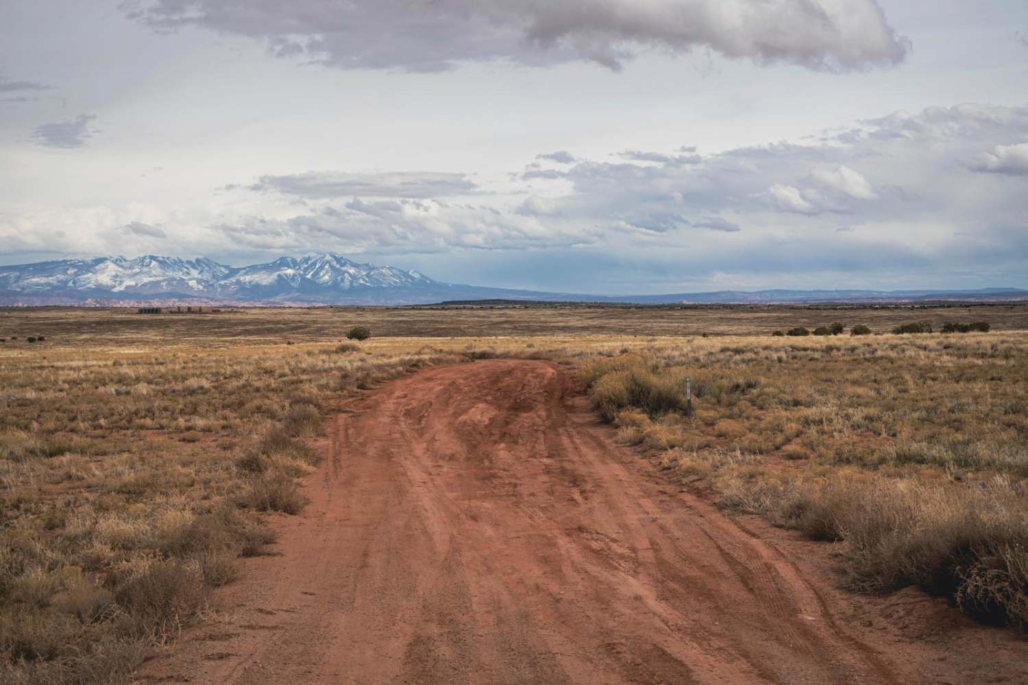
North Crosscut
Marysvale to Piute Reservoir Dam

Guys Trail (South)
The onX Offroad Difference
onX Offroad combines trail photos, descriptions, difficulty ratings, width restrictions, seasonality, and more in a user-friendly interface. Available on all devices, with offline access and full compatibility with CarPlay and Android Auto. Discover what you’re missing today!
