Devils Gap
Total Kilometers
3.2
Technical Rating
Best Time
Summer, Fall, Winter
Trail Type
Full-Width Road
Accessible By
Trail Overview
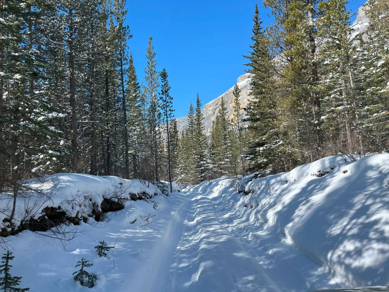
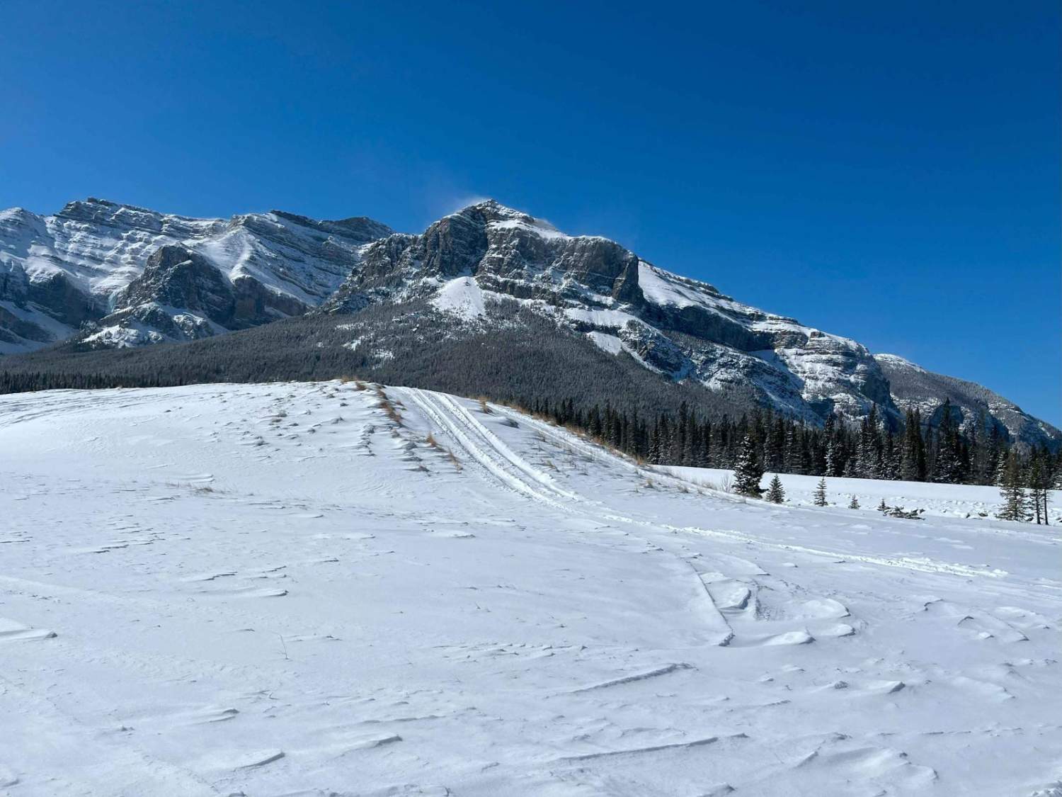
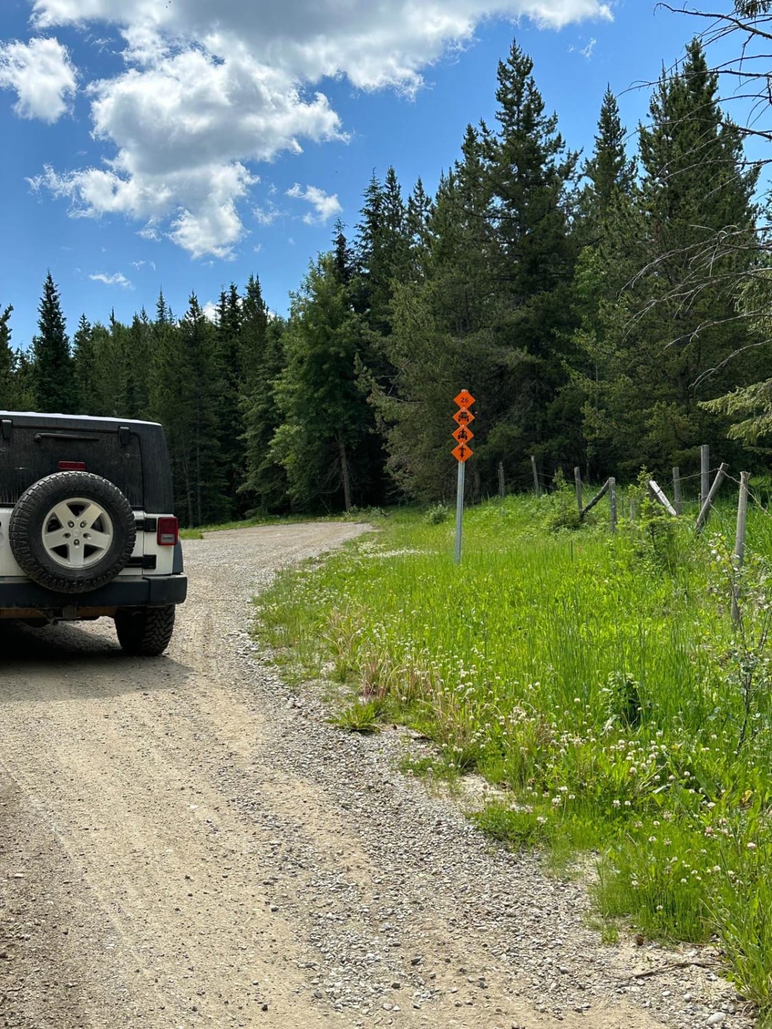
As the TransAlta Road descends into the valley, follow the trail heading left along the base of the riverbed. The trail will be mostly packed river rock with the potential for a few larger rocks along the path. Be aware that there may be multiple packed tracks heading towards the large dirt hill. As you pass the dirt hill, there is a chance to try out three different hill climbs, with the easiest being on the north side of the hill and the hardest being on the south side of the hill. As you come around the dirt mound, there is a riverbed crossing; after rain events, this river crossing can go from being empty to being as deep as 4 feet. Make sure to check the water depth if there is water present. As you pass through the rock marking the entrance, the trail passes behind the gravel flood barrier and up to Trail Marker 26, where the official trail starts. Once on the trail, the largest obstacle is the deep ruts. In the winter, this is passable for most high-clearance SUVs; in the summer, a lifted 4x4 might be required, or positioning the wheels of your vehicle on either side of the trail to stay out of the ruts. As you reach the halfway point of the trail, there are some large dirt walls on each side of the trail, although even a full-sized truck can pass through without too much risk of damage. As you come out of the large dirt walls, you will see a sign for the Devils Gap parking lot. This is the border to Banff National Park and no vehicles are permitted past the park boundaries. There is a gentle hiking trail that will take you to the east end of Lake Minnewanka or some trails that will ascend the numerous mountain peaks in the valley. On the way out, you can take the same Trail 26 back to the riverbed crossing or continue on an alternate trail from the parking lot that will take you through a gravel clearing close to the start of Trail Marker 26, called Devils Gap Road. There are a few hill climb options that will bring you on top of the gravel flood barrier. Skid plates are recommended for any of the climbs.
Photos of Devils Gap
Difficulty
Expect possible deep mud ruts.
Status Reports
Devils Gap can be accessed by the following ride types:
- High-Clearance 4x4
- SUV
Devils Gap Map
Popular Trails
Butcher Lake Road
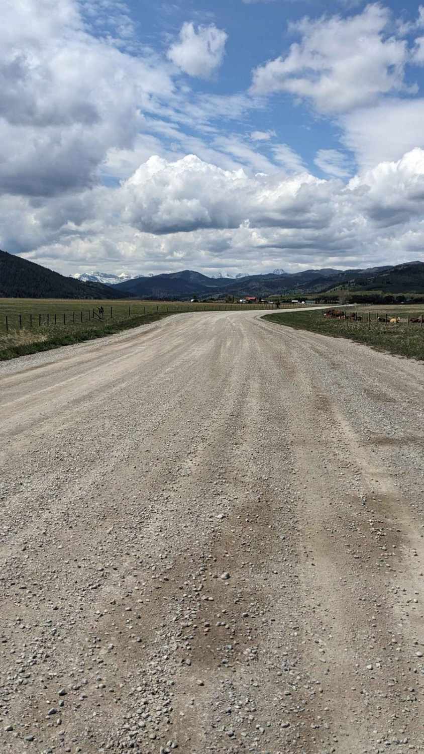
East Lynx Creek Trail
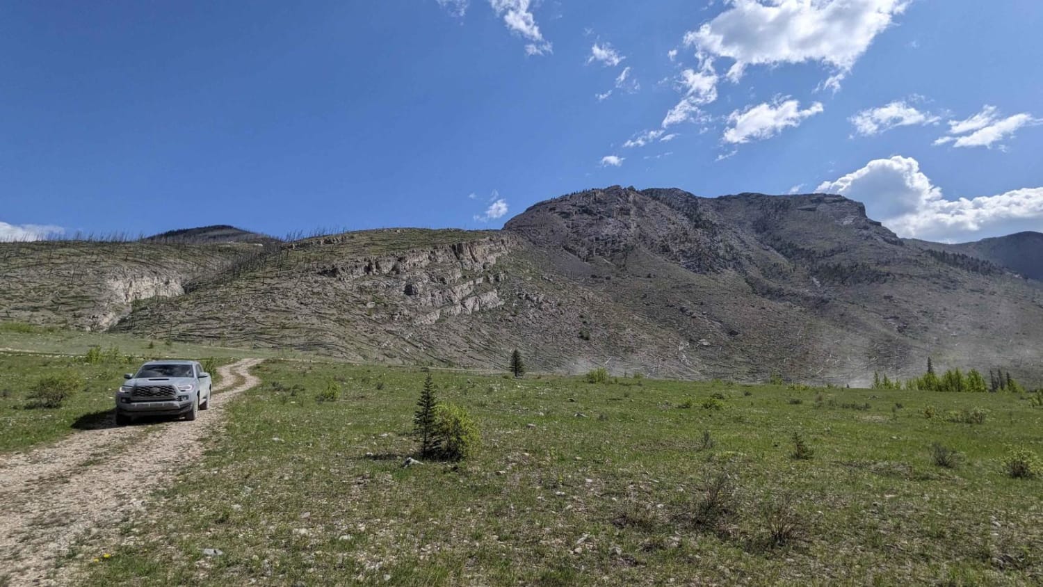
Ya Ha Tinda Road to Bighorn Falls
The onX Offroad Difference
onX Offroad combines trail photos, descriptions, difficulty ratings, width restrictions, seasonality, and more in a user-friendly interface. Available on all devices, with offline access and full compatibility with CarPlay and Android Auto. Discover what you’re missing today!
