Bobby Burns Road
Total Kilometers
13.7
Elevation
241.16 m
Duration
--
Technical Rating
Best Time
Spring, Summer, Winter, Fall
Trail Overview
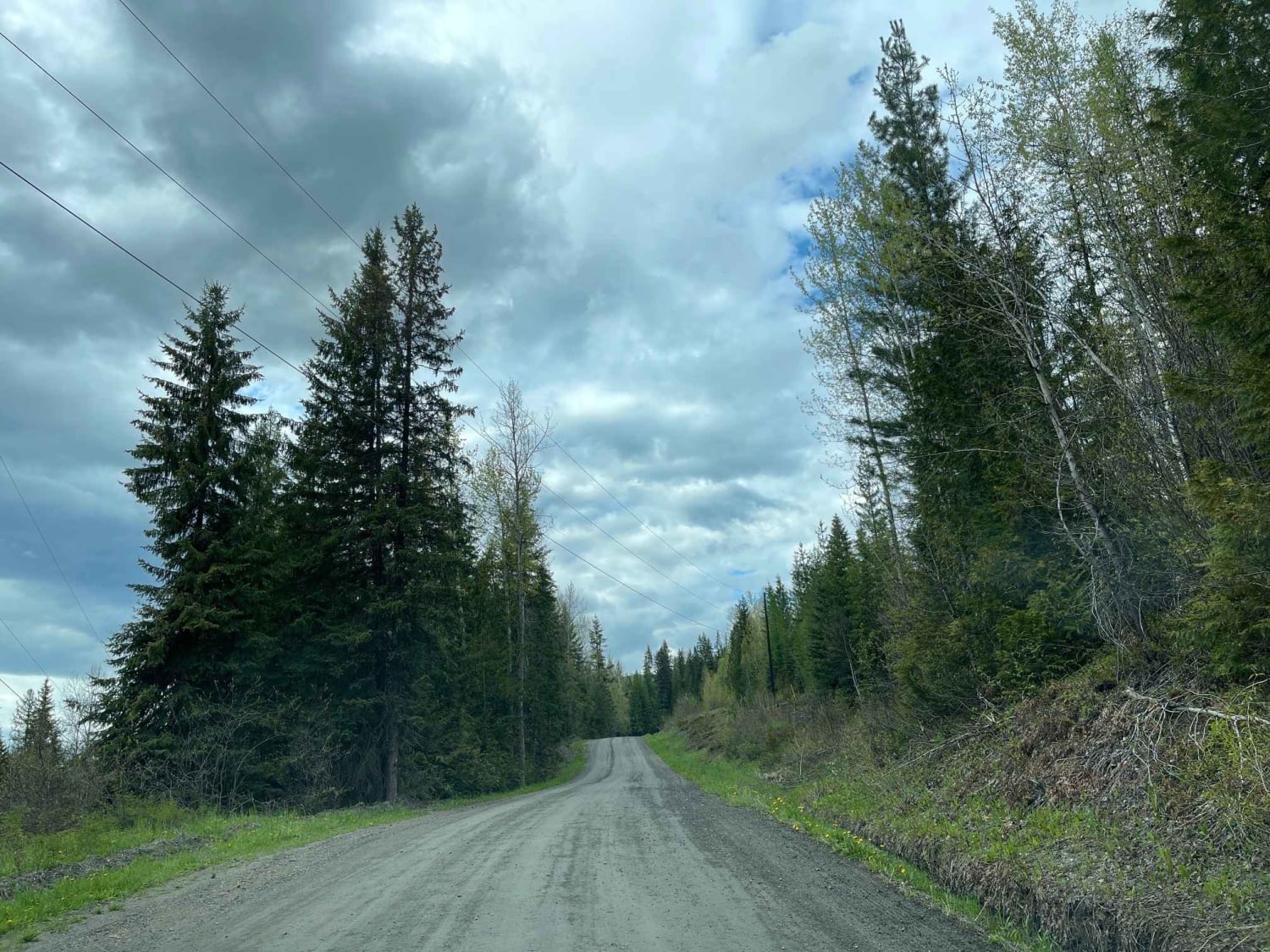
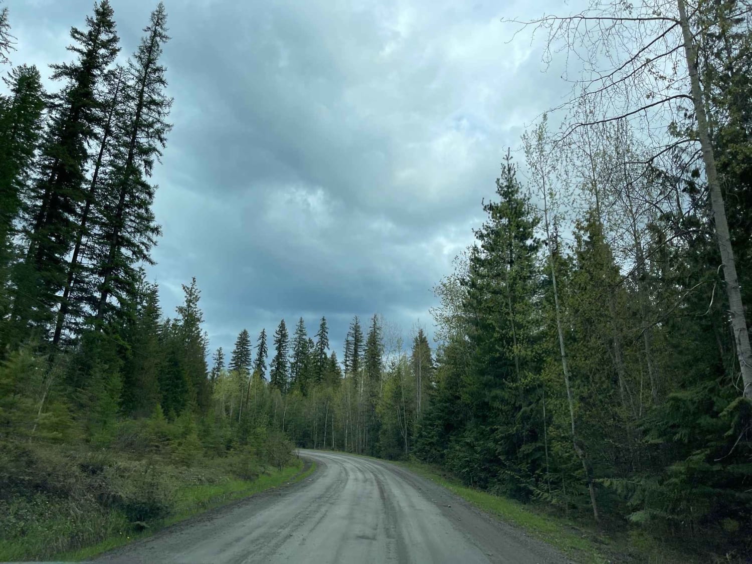
Bobby Burns Road navigates through a tight valley floor with a number of spur roads along the way for you to explore and adventure on. We were hoping that the road would take you all the way to Mable Lake, but there is a gate at the 8 Mile marker that prevents you from going any further. Looks to be a private property down on the lake. There are a number of other access roads that could end up at the lake but that's for another day!
Photos of Bobby Burns Road
Difficulty
Road well established with some bumpy sections (potholes, washboard, etc)
Status Reports
Popular Trails
Johnson Lake to High Elevation Camp Site
Sunshyne Road
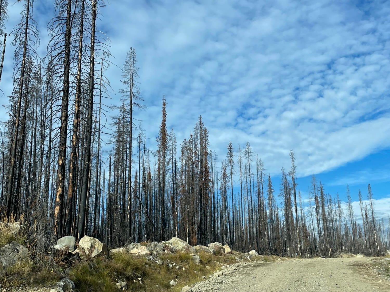
New Road Near Greystokes
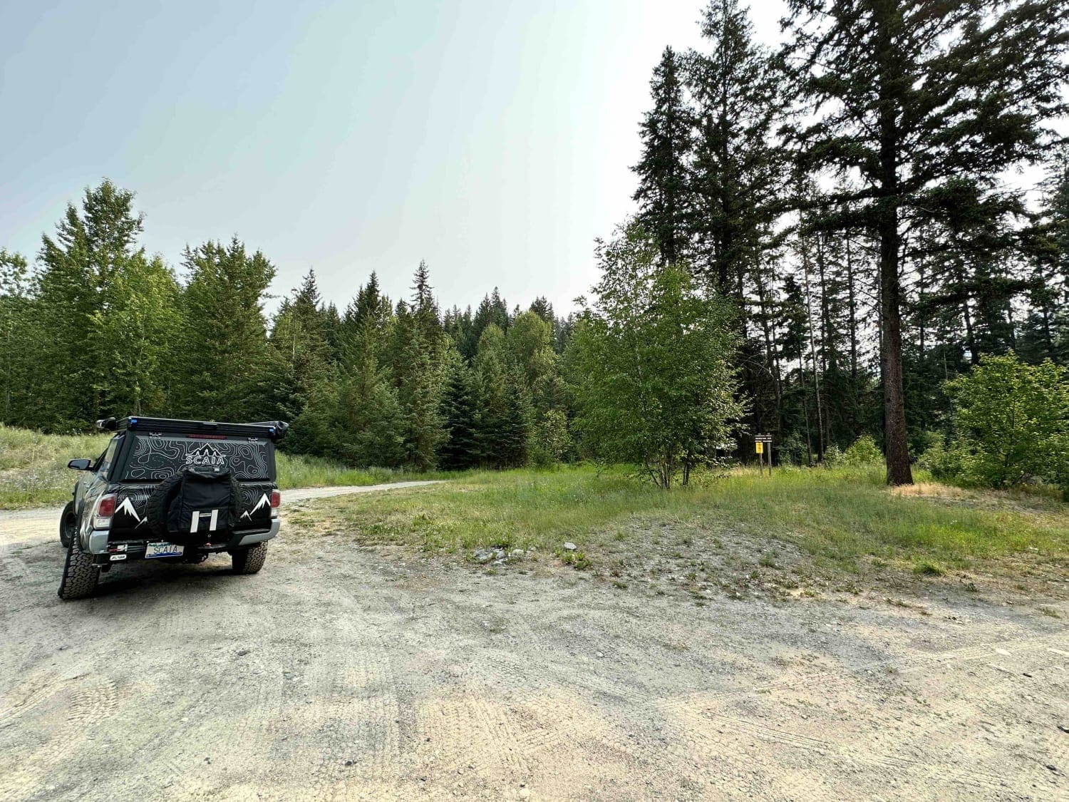
China Valley Road
The onX Offroad Difference
onX Offroad combines trail photos, descriptions, difficulty ratings, width restrictions, seasonality, and more in a user-friendly interface. Available on all devices, with offline access and full compatibility with CarPlay and Android Auto. Discover what you’re missing today!
