Dillard Creek FSR
Total Kilometers
9.4
Elevation
346.45 m
Duration
0.5 Hours
Technical Rating
Best Time
Spring, Summer, Fall
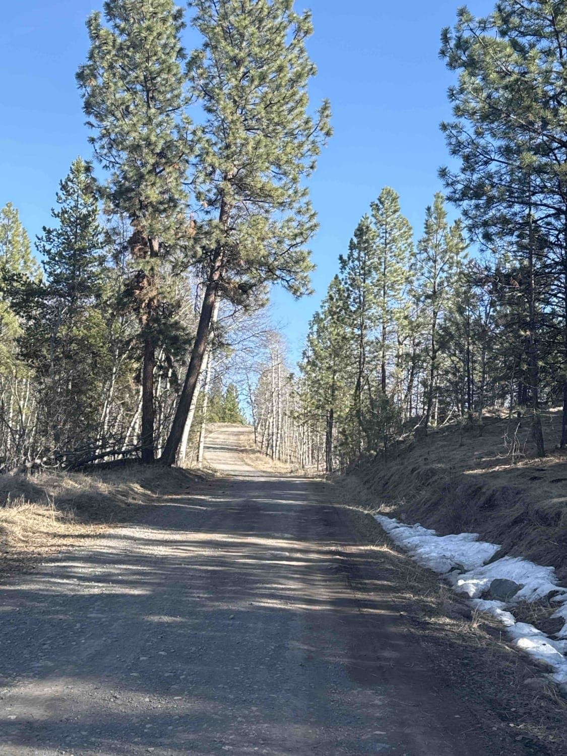
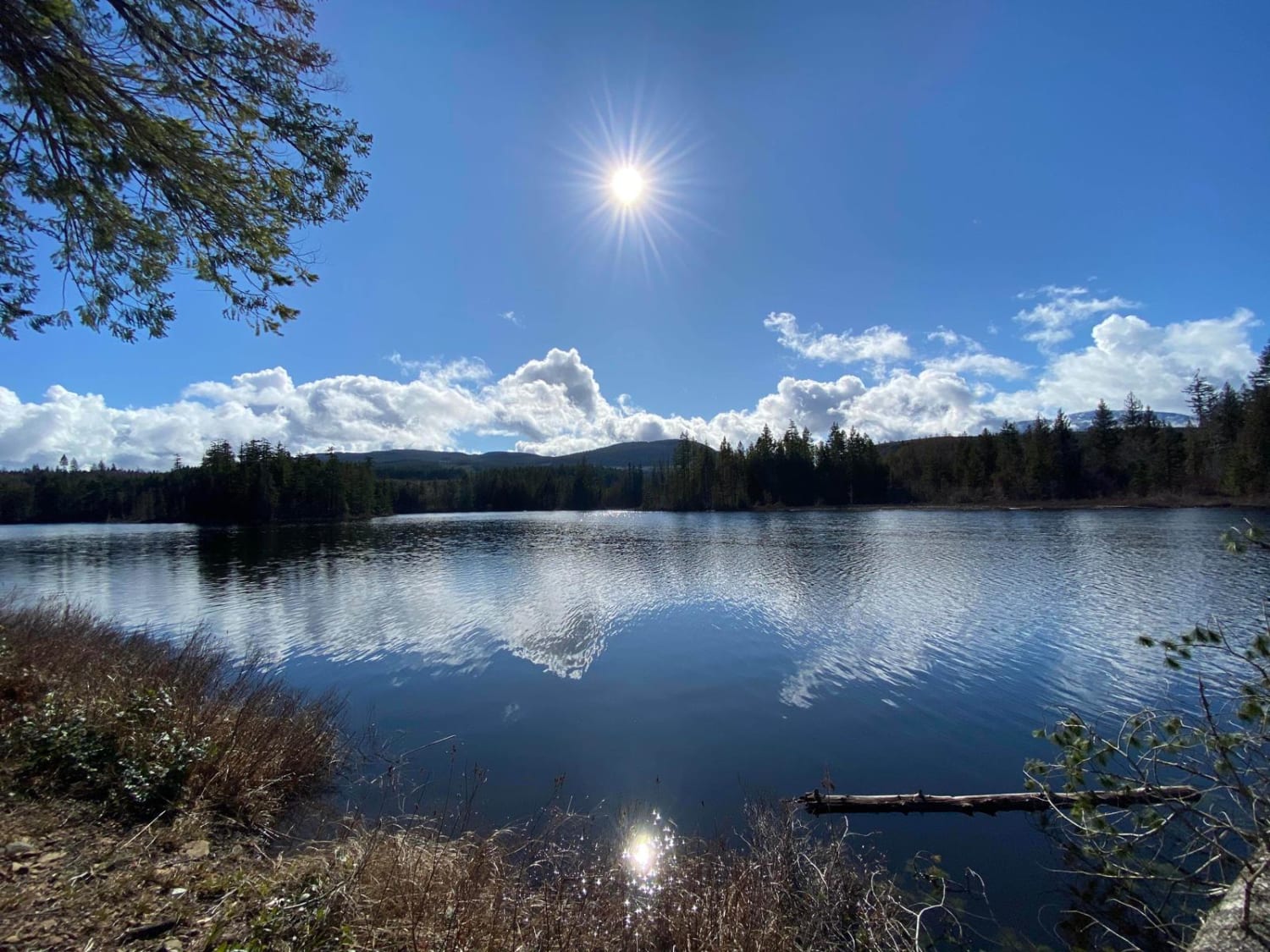
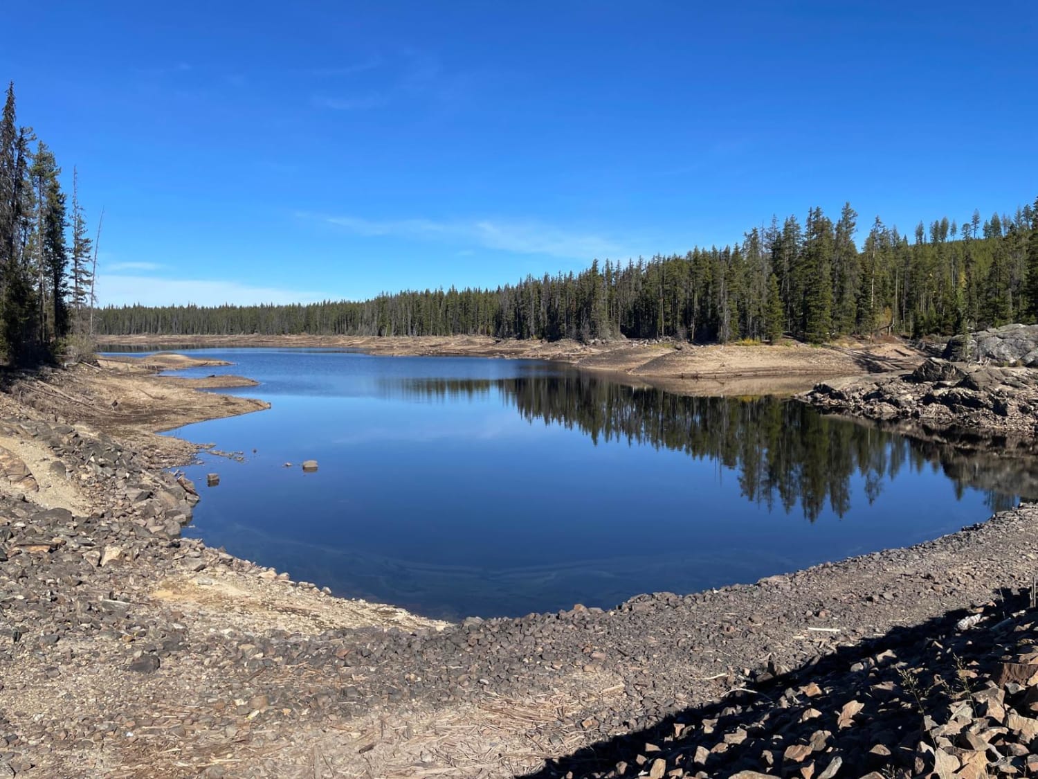
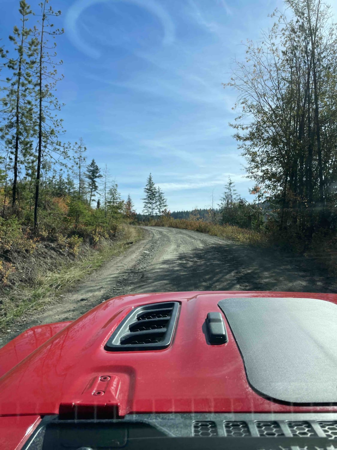
Trail Overview
This two-vehicle-width gravel road starts in the rolling grasslands and quickly enters the forest, which becomes denser as you proceed. It's a good idea to air down your tires for comfort, as the road is somewhat rough. You'll encounter small to large potholes, rutted sections, a fair amount of washboard, and a few smoother stretches. There's a steeper section about one kilometer before Missezula Lake, but overall, there's not much elevation gain. At the end of this stretch of Dillard Creek FSR, you'll find a beautiful lake and a recreation site. It tends to get busier in the summer months. Cell service on the FSR is hit-or-miss, improving a bit at the recreation site, but it's not entirely reliable.
Photos of Dillard Creek FSR

Difficulty
You will encounter small to large potholes, washboard, and rutted areas.
History
The Missezula Lake area was historically home to the Upper Similkameen Indian Band, who used the lake and surrounding area for hunting, fishing, and gathering.
Status Reports
Popular Trails

Constitution
Boomerang Lake From 155 Main
Ideal Lake
Bardolph Lake via Noble Canyon
The onX Offroad Difference
onX Offroad combines trail photos, descriptions, difficulty ratings, width restrictions, seasonality, and more in a user-friendly interface. Available on all devices, with offline access and full compatibility with CarPlay and Android Auto. Discover what you’re missing today!