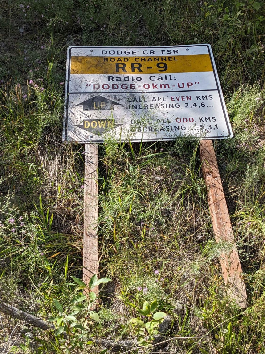
Dodge Creek to Boundary Lake
Total Kilometers
36.1
Elevation
475.46 m
Duration
1.5 Hours
Technical Rating
Best Time
Summer, Fall
Trail Overview
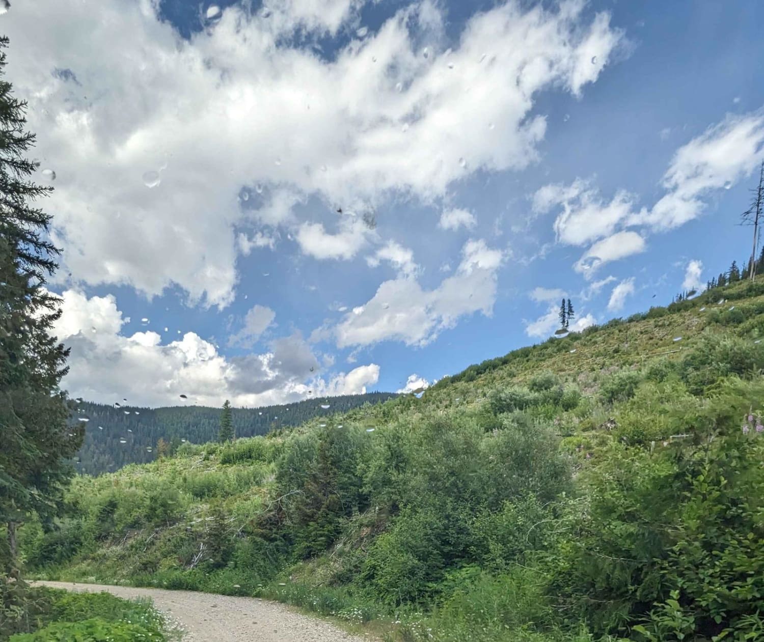
This is a beautiful trek from the Creston Valley bottom up to Boundary Lake Rec Site. Stunning views of the valley as you ascend the mountain. The route ends at Boundary Lake Rec Site. Camping is available here. This route can be done as part of a loop that ends up on Highway 3 - Kootenay Pass.
Photos of Dodge Creek to Boundary Lake
Difficulty
This is an unmaintained forest service road with a very steep loose rock section as you descend/ascend a power line cut. This section has a couple of steep switchbacks over bare rock. 4 Low is recommended.
Status Reports
Popular Trails
Sawmill Lake to Douglas Lake Ranch
Telkwa 1000 Road
Goat River FSR

Coopers Hang Gliding
The onX Offroad Difference
onX Offroad combines trail photos, descriptions, difficulty ratings, width restrictions, seasonality, and more in a user-friendly interface. Available on all devices, with offline access and full compatibility with CarPlay and Android Auto. Discover what you’re missing today!
