Fork Road - Closed
Total Kilometers
4.0
Technical Rating
Best Time
Spring, Summer, Fall
Trail Type
Full-Width Road
Accessible By
Trail Overview
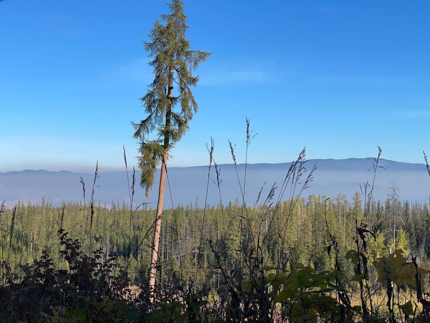
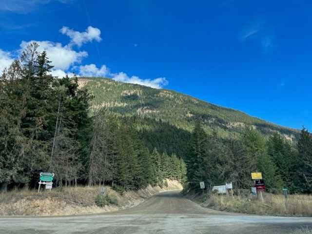
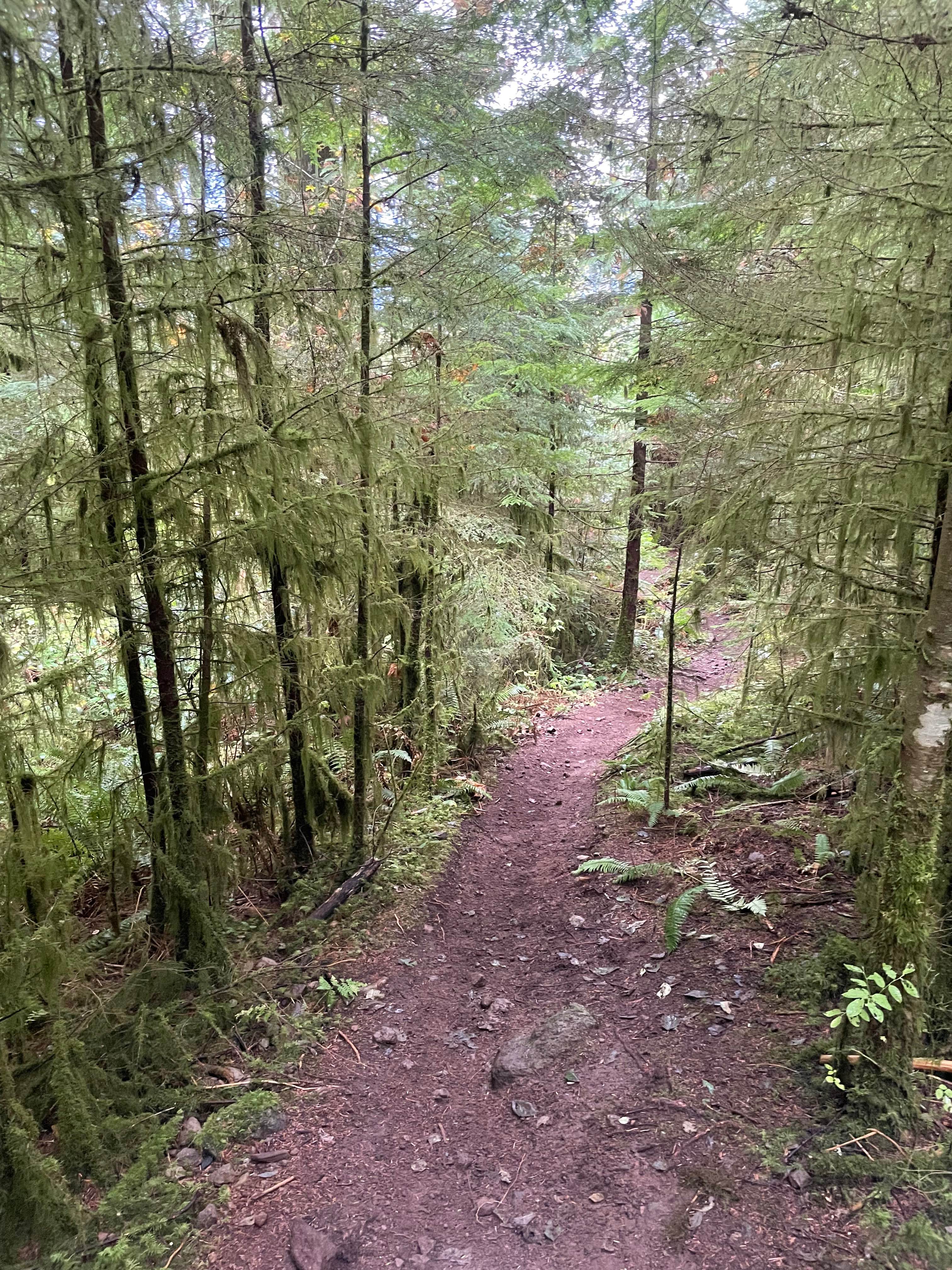
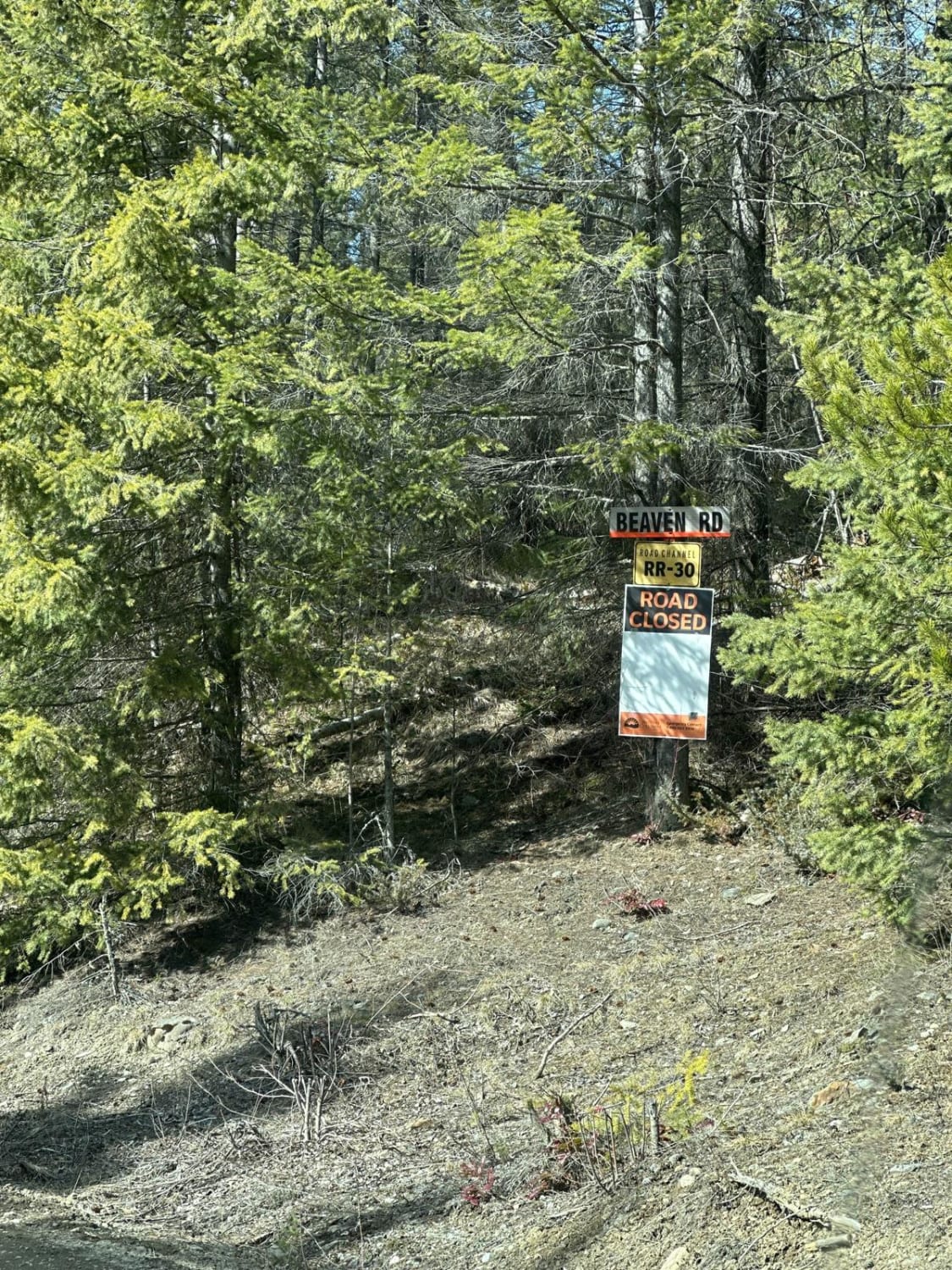
At the time of mapping, this trail was very muddy, as there are sections that are being actively logged. Right where you think you'll pop out into Cherryville, the road is closed--bridge out. You'll have to turn around and head back. It's a fun road if you like mud and deep ruts.
Photos of Fork Road - Closed
Difficulty
This is rated a 2 due to the mud and deep ruts.
Status Reports
Fork Road - Closed can be accessed by the following ride types:
- High-Clearance 4x4
- SUV
- SxS (60")
- ATV (50")
Fork Road - Closed Map
Popular Trails

Kidney Lake

Brewer to Cresent FSR

Adams Road West

The Climbs - Holiday Hill Connector
The onX Offroad Difference
onX Offroad combines trail photos, descriptions, difficulty ratings, width restrictions, seasonality, and more in a user-friendly interface. Available on all devices, with offline access and full compatibility with CarPlay and Android Auto. Discover what you’re missing today!

