Iron Mountain
Total Kilometers
8.9
Technical Rating
Best Time
Spring, Summer, Fall
Trail Type
Full-Width Road
Accessible By
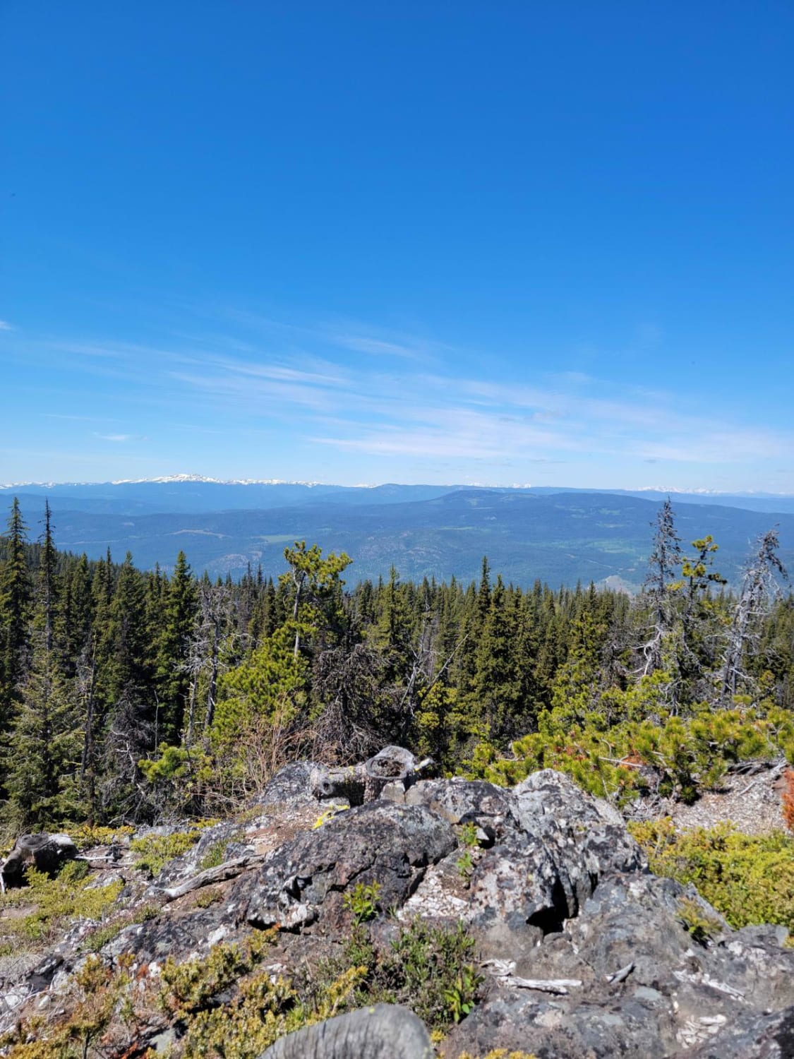
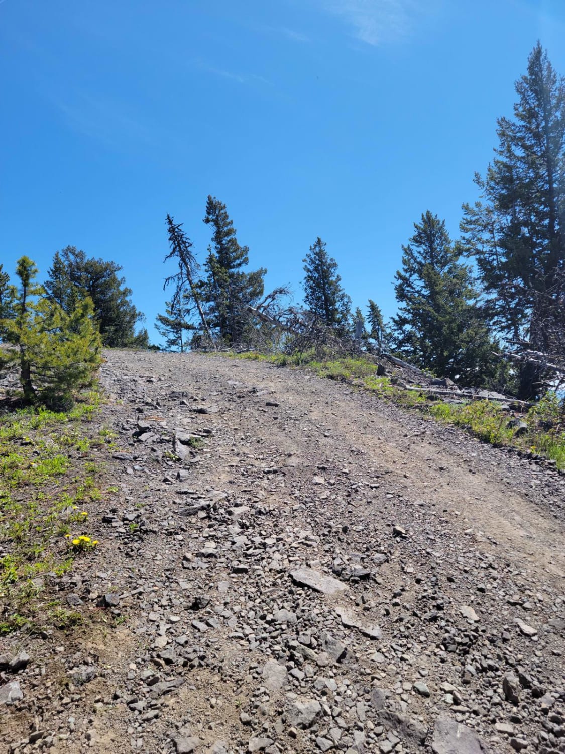
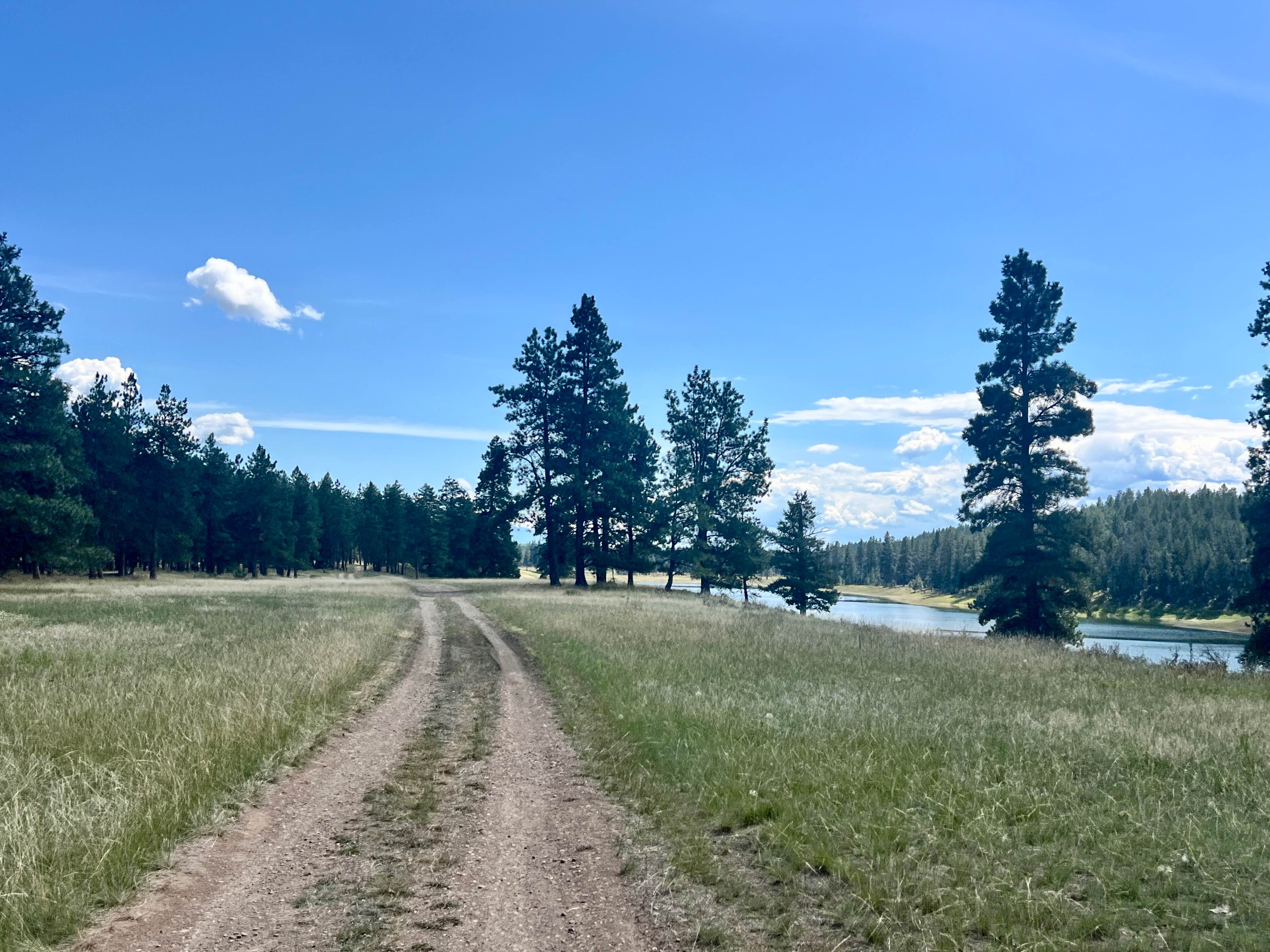
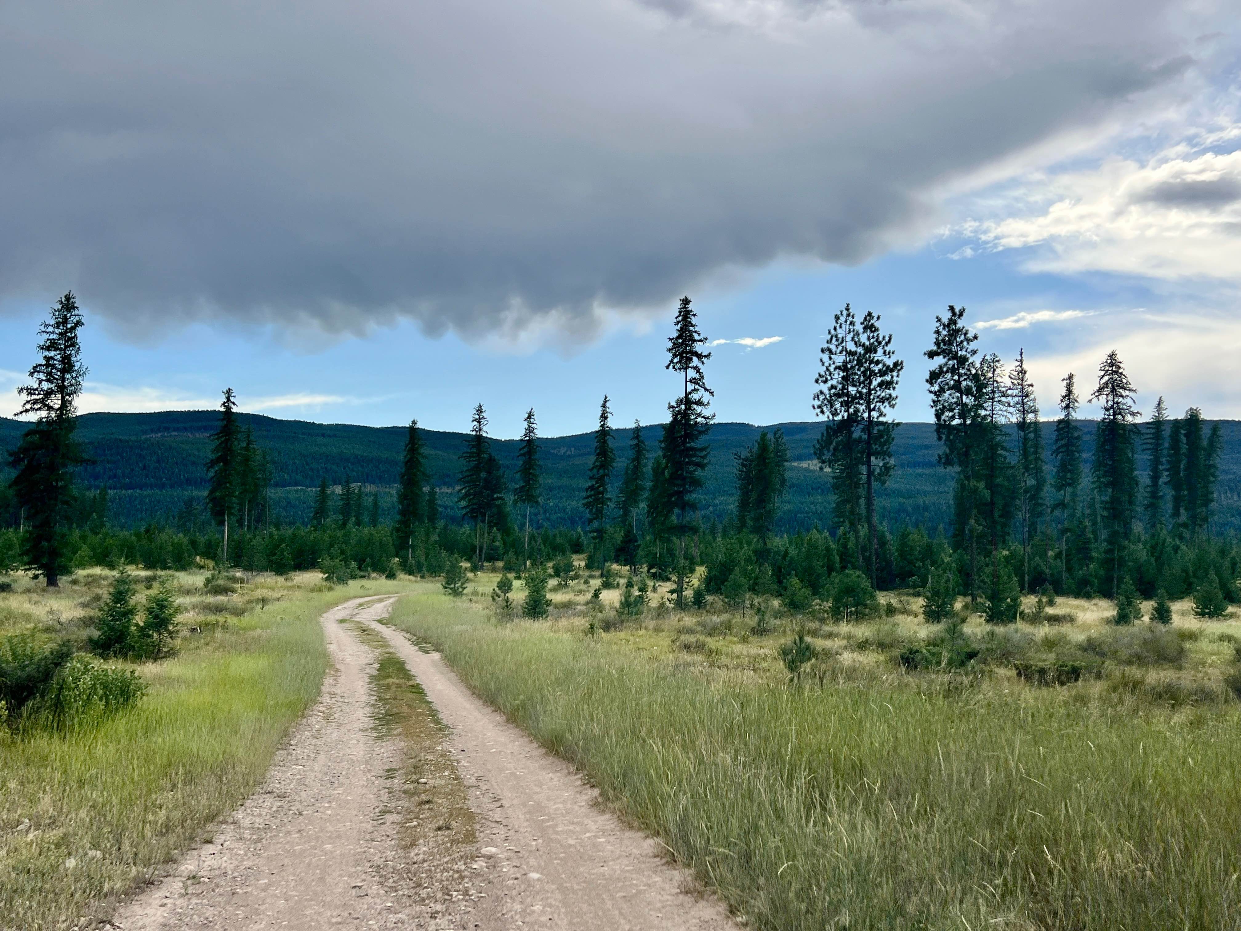
Trail Overview
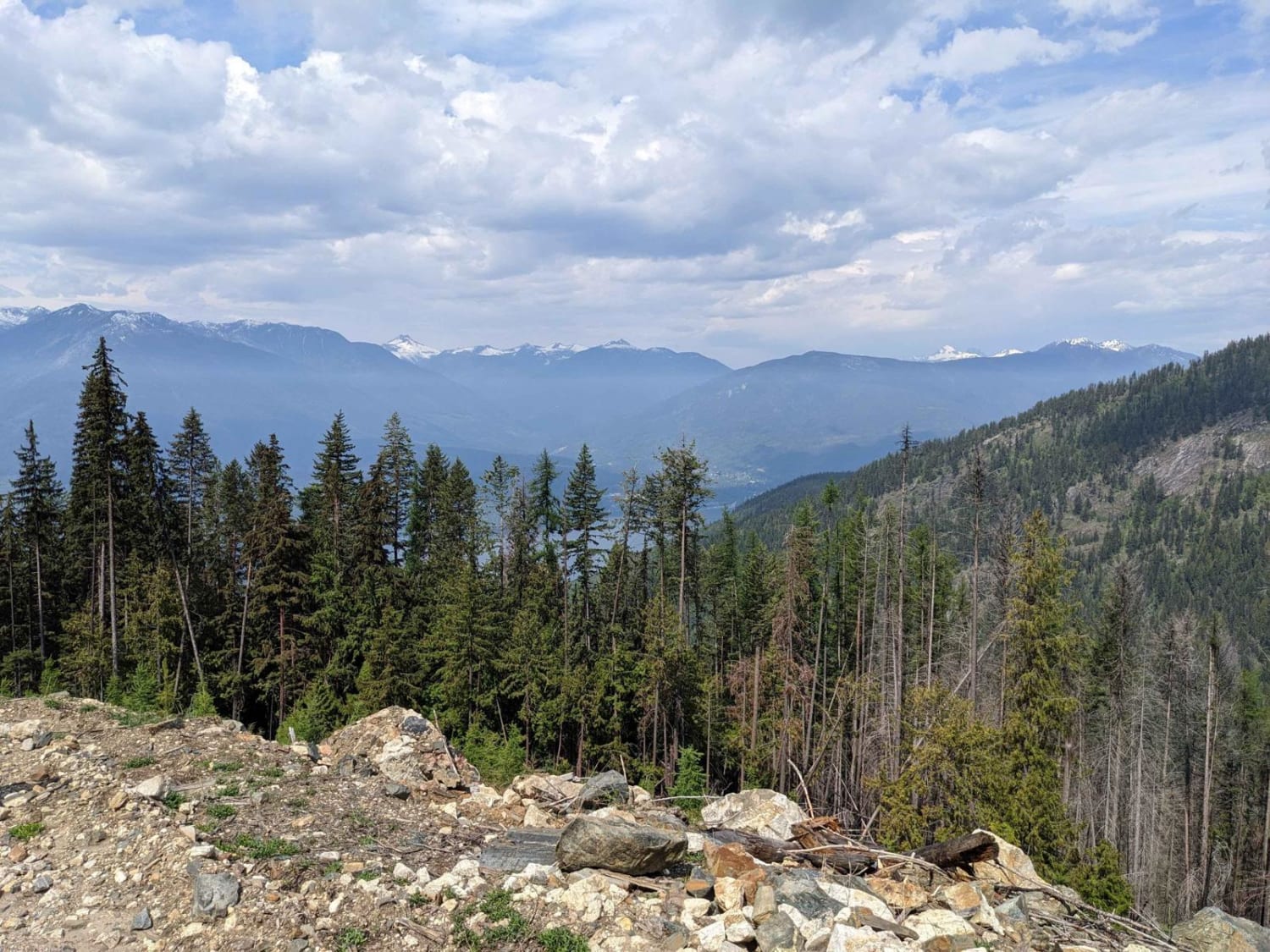
Iron Mountain, a scenic trail with great views at the top of Merritt, Coastal Mountain Range, and the Coquihalla; it's just a short drive off the Coquihalla Highway, a great stopping point on an overland trip across BC or a camp at the summit. Trail access is snow-dependent from late spring to late fall.
Photos of Iron Mountain
Difficulty
Small water crossings may run into some muddy sections
Status Reports
Iron Mountain can be accessed by the following ride types:
- High-Clearance 4x4
- SUV
- SxS (60")
- ATV (50")
- Dirt Bike
Iron Mountain Map
Popular Trails
Sharptail South
Loki Mountain Trail Head

Thome Lake East
The onX Offroad Difference
onX Offroad combines trail photos, descriptions, difficulty ratings, width restrictions, seasonality, and more in a user-friendly interface. Available on all devices, with offline access and full compatibility with CarPlay and Android Auto. Discover what you’re missing today!